


Wypróbuj również:
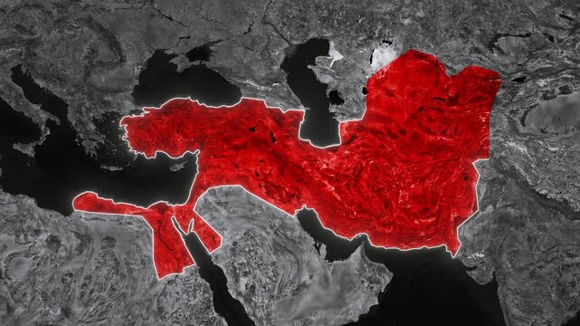
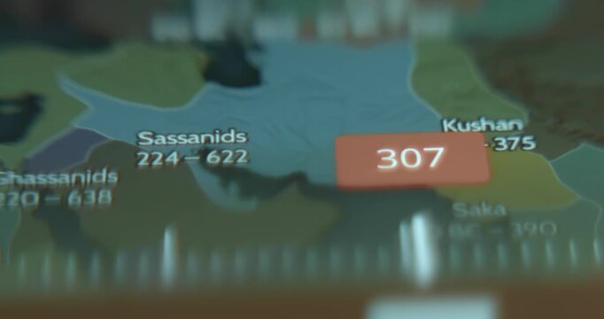
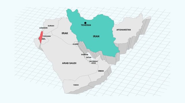
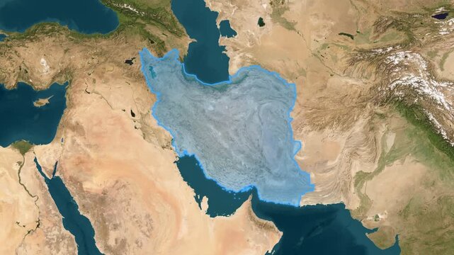
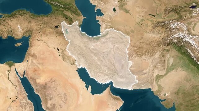
persia map w kategorii obrazy,
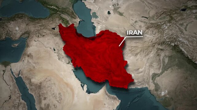
persia map w kategorii wideo,
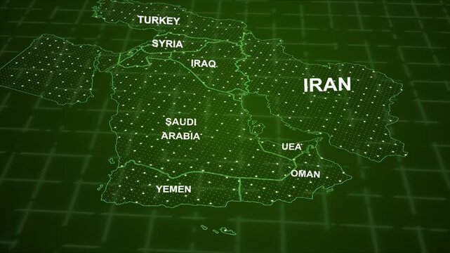
persia map w kategorii Premium