Link do ustawienia hasła został wysłany na adres W przyszłości dostęp do zakupów będzie można uzyskać po podaniu hasła.

RonyPoly

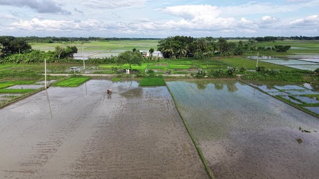
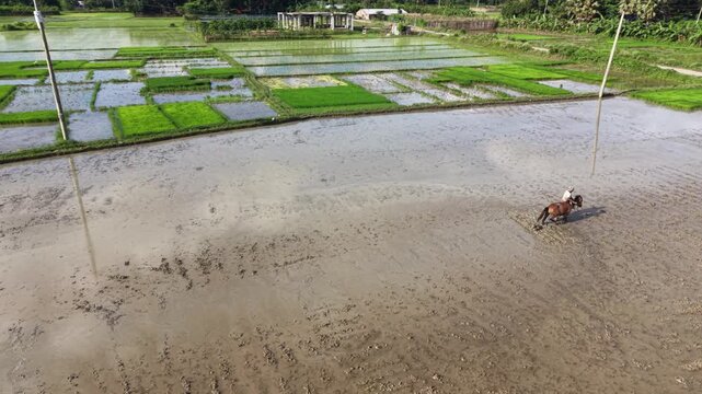
A farmer works with a horse in a muddy, water-filled rice field, preparing the land for cultivation. The aerial footage captures traditional farming methods and the rural agricultural landscape.
00:15
HD
Drone footage shows a farmer guiding a horse through a flooded paddy field during rice cultivation, with muddy plots, green field boundaries, and surrounding farmland in the rural countryside.
00:10
HD
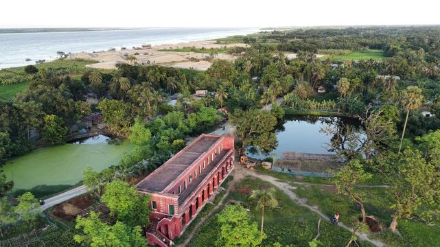
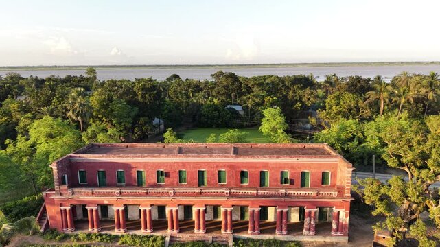
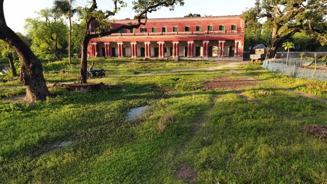
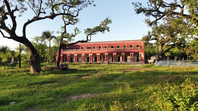
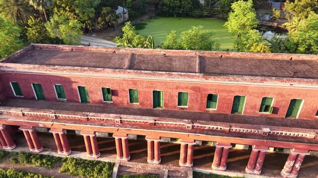
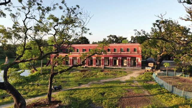
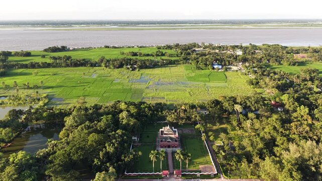
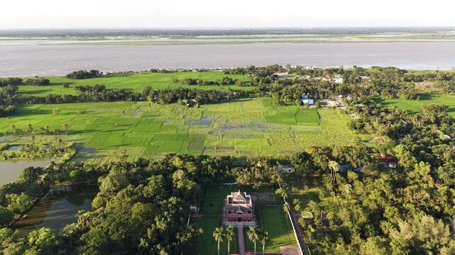
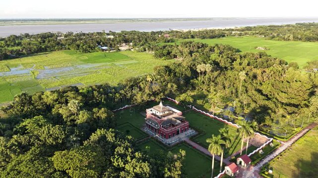
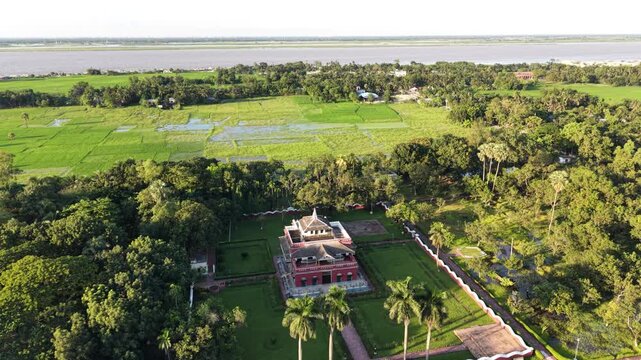
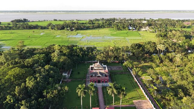
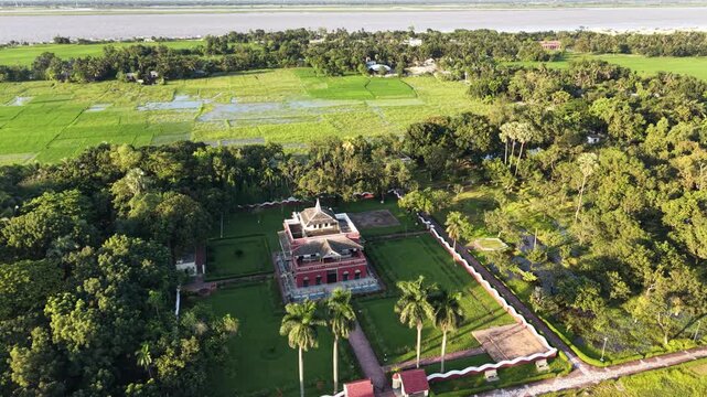
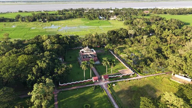
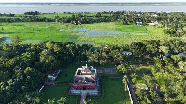
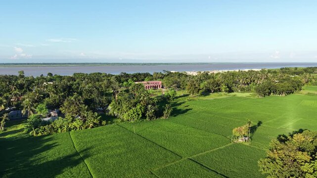
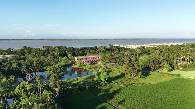
Forward-moving drone footage approaches historic Rabindra Kachari Bari in Shilaidaha, Kushtia, Bangladesh, revealing its heritage architecture and riverside surroundings near the Padma River.
00:12
HD
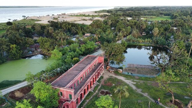
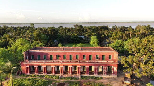
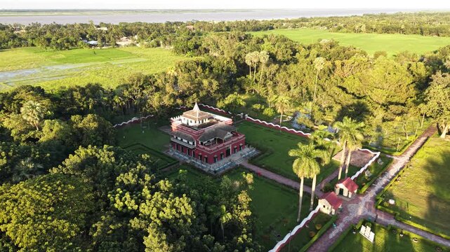
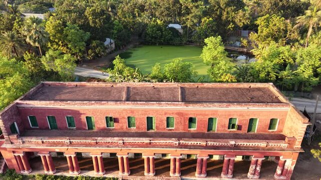
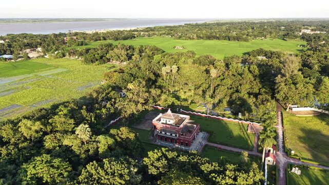
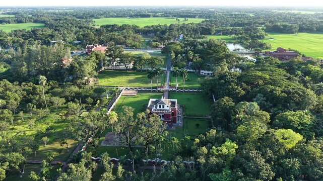
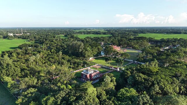
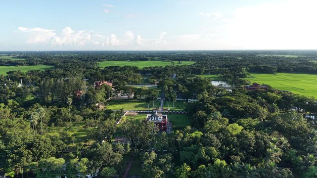
Aerial drone footage of historic Rabindra Kachari Bari in Shilaidaha, Kushtia, showing the heritage building, surrounding greenery, and the landscape near the Padma River in Bangladesh.
00:09
HD
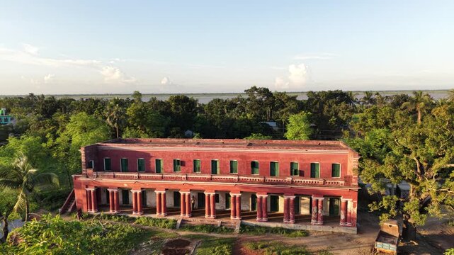
Forward aerial drone footage of historic Rabindra Kachari Bari in Shilaidaha, Kushtia, showing the heritage building, surrounding greenery, and the landscape near the Padma River in Bangladesh.
00:06
HD
Forward-moving drone footage approaches historic Rabindra Kachari Bari in Shilaidaha, Kushtia, Bangladesh, revealing its heritage architecture and riverside surroundings near the Padma River.
00:10
HD
Aerial drone footage of historic Rabindra Kachari Bari in Shilaidaha, Kushtia, showing the heritage building, surrounding greenery, and the landscape near the Padma River in Bangladesh.
00:08
HD
Forward aerial drone footage of historic Rabindra Kachari Bari in Shilaidaha, Kushtia, showing the heritage building, surrounding greenery, and the landscape near the Padma River in Bangladesh.
00:10
HD
Aerial drone footage of historic Rabindra Kachari Bari in Shilaidaha, Kushtia, showing the heritage building, surrounding greenery, and the landscape near the Padma River in Bangladesh.
00:08
HD
Forward-moving drone footage approaches historic Rabindra Kachari Bari in Shilaidaha, Kushtia, Bangladesh, revealing its heritage architecture and riverside surroundings near the Padma River.
00:09
HD
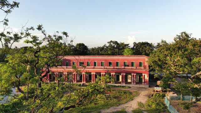
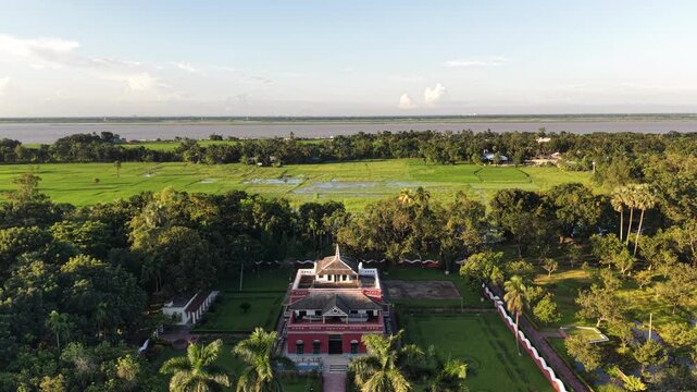
A forward aerial approach highlights the red facade, rows of windows, and columns of Shilaidaha Rabindra Kuthibari, surrounded by green trees, open countryside, and the distant Padma River.
00:08
HD
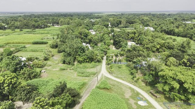
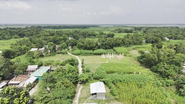
Backward-moving aerial drone footage over a remote Bangladeshi village, revealing an earthen road, scattered rural homes, dense tree cover, green fields, and the surrounding countryside.
00:14
HD
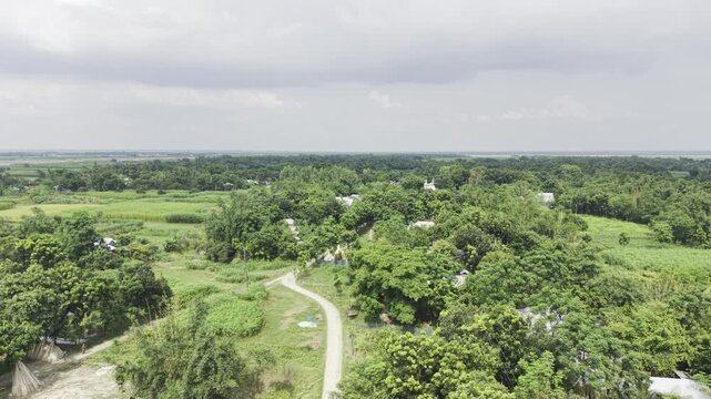
Forward-moving drone footage over a remote rural village in Bangladesh, showing a winding earthen road, scattered houses, dense green trees, and lush vegetation beneath a bright cloudy sky.
00:11
HD
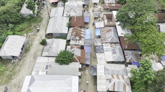
Top-down drone footage of a remote rural market in Bangladesh, showing small shops with corrugated metal roofs, shoppers carrying bags, people browsing goods, and everyday commercial activity.
00:15
HD
A forward drone flight reveals the green countryside of rural Bangladesh, with a narrow earthen village road winding between leafy trees, scattered homes, and patches of cultivated land.
00:11
HD
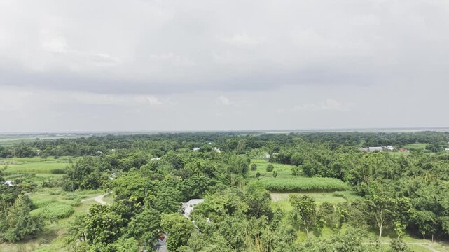
An ascending drone shot gradually reveals a remote village in Bangladesh, with a winding earthen road, scattered homes, dense green trees, agricultural plots, and an expansive rural landscape.
00:10
HD
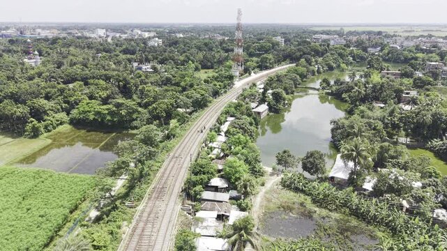
Aerial drone footage moving forward above two parallel railway tracks in Bangladesh, with green vegetation, trees and nearby buildings creating a view of railway infrastructure and the surrounding set
00:24
HD
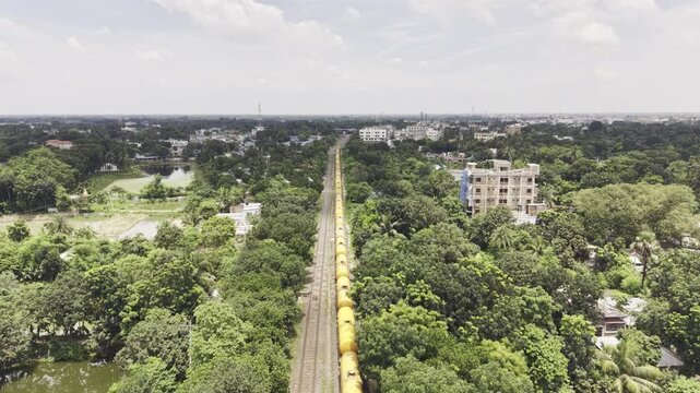
Aerial view of a cargo train approaching along a railway track through a green settlement in Bangladesh, surrounded by dense trees, residential buildings, and a growing urban landscape.
00:25
HD
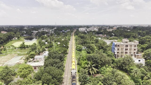
A train travels toward the camera along a straight railway line through lush green vegetation and residential areas. This aerial footage illustrates rail transport, local infrastructure and settlement
00:10
HD
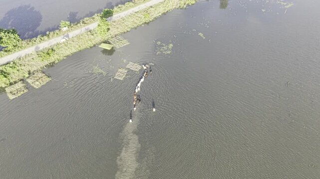
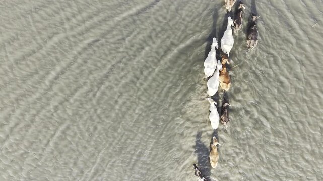
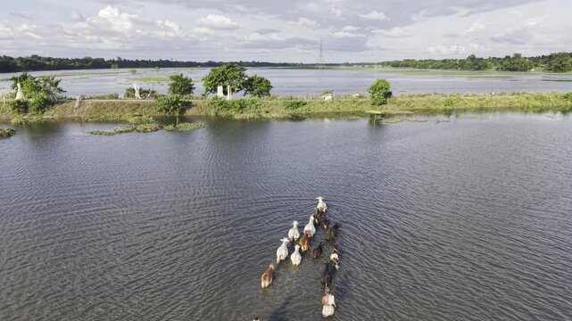
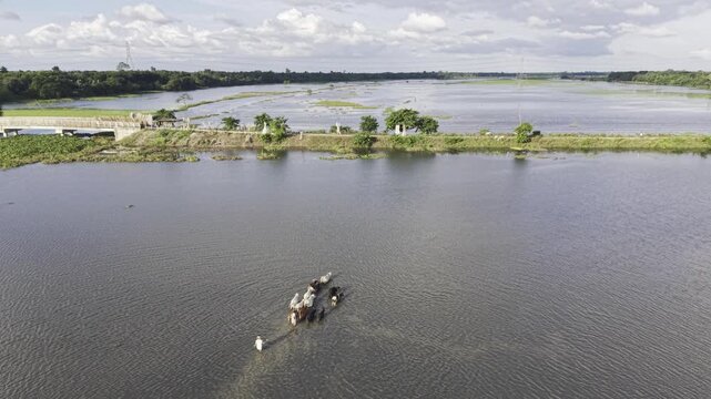
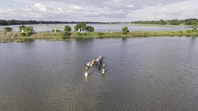
Aerial view of cattle and a rural herder moving through the flooded Nandiar Bil wetland in Kushtia, Bangladesh during the monsoon season.
00:10
HD
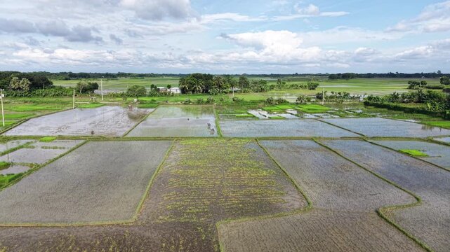
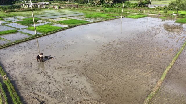
Aerial view of a farmer using a horse to prepare a flooded paddy field for rice cultivation in rural Bangladesh, showing traditional agricultural practices and waterlogged farmland.
00:07
HD
Aerial view of a farmer using a horse to prepare a flooded paddy field for rice cultivation in rural Bangladesh, showing traditional agricultural practices and waterlogged farmland.
00:13
HD
An ascending drone shot gradually reveals Rabindra Kachari Bari in Shilaidaha, Bangladesh, highlighting the historic building, surrounding greenery, and its setting near the Padma River.
00:09
HD
Forward-moving drone footage approaches historic Rabindra Kachari Bari in Shilaidaha, Kushtia, Bangladesh, revealing its heritage architecture and riverside surroundings near the Padma River.
00:09
HD
Aerial drone footage of historic Rabindra Kachari Bari in Shilaidaha, Kushtia, showing the heritage building, surrounding greenery, and the landscape near the Padma River in Bangladesh.
00:06
HD
Forward-moving drone footage approaches historic Rabindra Kachari Bari in Shilaidaha, Kushtia, Bangladesh, revealing its heritage architecture and riverside surroundings near the Padma River.
00:10
HD
Forward aerial drone footage of historic Rabindra Kachari Bari in Shilaidaha, Kushtia, showing the heritage building, surrounding greenery, and the landscape near the Padma River in Bangladesh.
00:10
HD
A backward aerial shot moves away from the historic Rabindra Kuthibari, revealing more of the surrounding trees, green landscape, open sky, and distant river near Shilaidaha, Bangladesh.
00:12
HD
Orbiting drone footage circles Shilaidaha Rabindra Kuthibari, showcasing its historic red facade, architectural columns, surrounding green trees, and the distant Padma River in Bangladesh.
00:09
HD
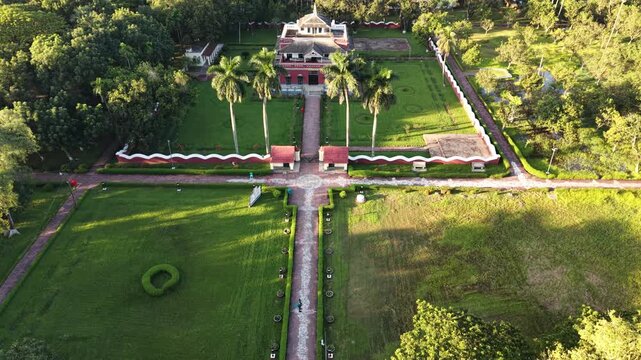
Drone footage presents Rabindra Kuthibari from above in Shilaidaha, Kushtia, highlighting the historic building, green surroundings, and open grounds within this heritage location in Bangladesh.
00:14
HD
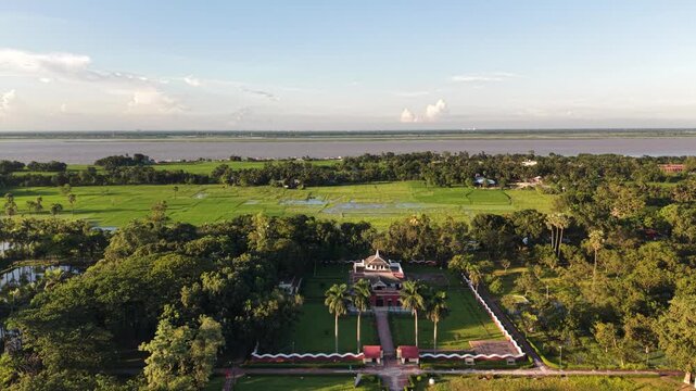
Backward-moving drone footage reveals Shilaidaha Rabindra Kuthibari within its green surroundings, showing the complete historic facade, open sky, and the Padma River in the distance.
00:09
HD
Aerial drone footage highlights the historic architecture of Shilaidaha Rabindra Kuthibari, framed by dense green trees, open countryside, bright sky, and the distant Padma River.
00:10
HD
Forward aerial footage showcases the full facade of Shilaidaha Rabindra Kuthibari, highlighting its historic red walls, rows of columns, green surroundings, open sky, and distant river scenery.
00:10
HD
A descending drone shot approaches Shilaidaha Rabindra Kuthibari, bringing the historic facade, architectural columns, green surroundings, and distant Padma River into a closer view.
00:12
HD
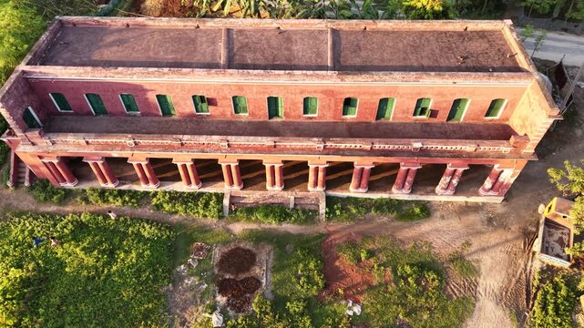
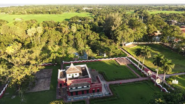
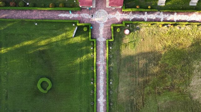
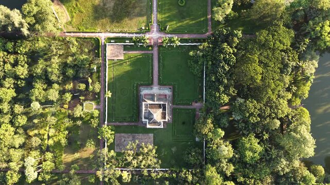
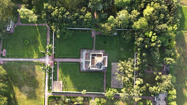
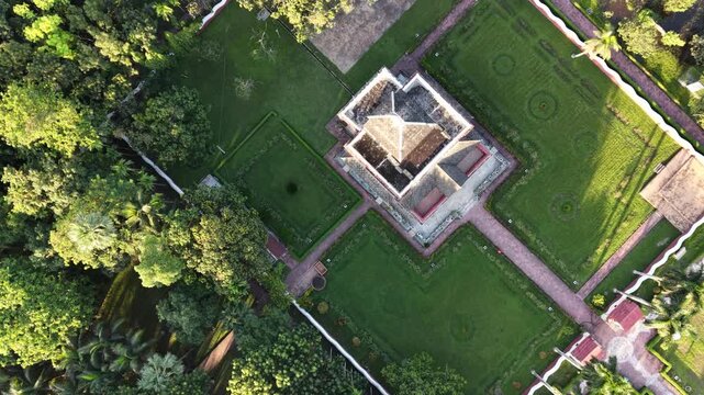
A top view drone shot of Shilaidaha Rabindra Kuthibari in Kushtia, Bangladesh, showcasing the historic heritage site, surrounding greenery, trees, and open grounds from above.
00:12
HD
A full-frame aerial view presents Shilaidaha Rabindra Kuthibari and its complete historic facade, with lush green surroundings, open sky, and the distant Padma River forming a scenic backdrop.
00:10
HD
Aerial top view footage captures Shilaidaha Rabindra Kuthibari, a historic heritage building in Kushtia, Bangladesh, surrounded by green trees and open outdoor space.
00:10
HD
An overhead drone view of Rabindra Kuthibari in Shilaidaha, Bangladesh, highlighting the historic building and its surrounding trees and open grounds in the Kushtia countryside.
00:12
HD
Aerial drone footage highlights the historic architecture of Shilaidaha Rabindra Kuthibari, framed by dense green trees, open countryside, bright sky, and the distant Padma River.
00:09
HD
A circular drone orbit reveals different perspectives of Shilaidaha Rabindra Kuthibari, highlighting its long red facade, rows of columns, leafy surroundings, and the distant river landscape.
00:12
HD
Orbiting aerial footage showcases Shilaidaha Rabindra Kuthibari from a changing perspective, with its historic red facade, green tree canopy, open sky, and the Padma River in the background.
00:10
HD
Forward aerial footage showcases the full facade of Shilaidaha Rabindra Kuthibari, highlighting its historic red walls, rows of columns, green surroundings, open sky, and distant river scenery.
00:09
HD
Forward aerial footage showcases the full facade of Shilaidaha Rabindra Kuthibari, highlighting its historic red walls, rows of columns, green surroundings, open sky, and distant river scenery.
00:09
HD
Descending aerial footage moves toward the red front facade of Shilaidaha Rabindra Kuthibari, highlighting its rows of windows and columns, surrounding trees, and historic architectural character.
00:08
HD
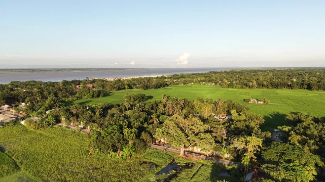
Backward aerial footage expands the view around Shilaidaha Rabindra Kuthibari, showing the complete red historic building, surrounding greenery, open landscape, and Padma River in the distance.
00:09
HD
Forward aerial footage showcases the full facade of Shilaidaha Rabindra Kuthibari, highlighting its historic red walls, rows of columns, green surroundings, open sky, and distant river scenery.
00:21
HD
Orbiting drone footage captures Shilaidaha Rabindra Kuthibari against green countryside and open sky, with the Padma River visible beyond the trees and the historic building at the center.
00:12
HD
Orbiting drone footage circles Shilaidaha Rabindra Kuthibari, showcasing its historic red facade, architectural columns, surrounding green trees, and the distant Padma River in Bangladesh.
00:10
HD
Warm afternoon sunlight illuminates the red facade of Shilaidaha Rabindra Kuthibari, while aerial footage reveals the surrounding green trees, open sky, and distant Padma River.
00:18
HD
Drone footage captures Shilaidaha Rabindra Kuthibari against a broad open sky, with lush trees surrounding the historic building and the Padma River stretching across the distant horizon.
00:10
HD
Drone footage shows flooded Nandiar Bil surrounded by rural landscape, with cattle and a herder crossing seasonal floodwater in Kushtia, Bangladesh.
00:09
HD
Top-down drone view shows cattle and a rural herder moving through floodwater at Nandiar Bil in Kushtia, Bangladesh during the seasonal monsoon flooding period.
00:09
HD
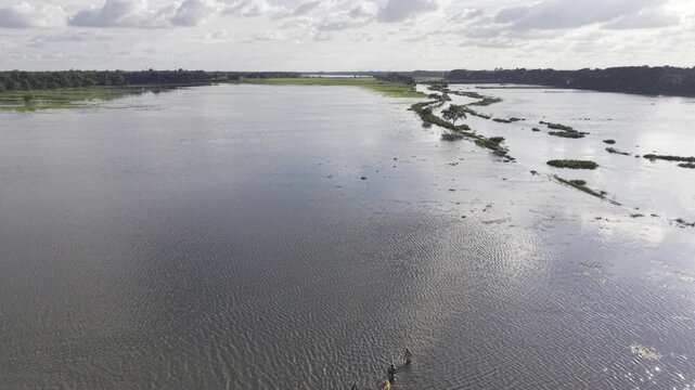
Slow forward aerial footage follows a flooded rural landscape at Nandiar Bil, where a herder moves cattle through seasonal floodwater in Kushtia, Bangladesh.
00:11
HD
Slow drone movement reveals cattle and a herder crossing waterlogged land at Nandiar Bil in Kushtia, Bangladesh, illustrating seasonal flooding and rural livelihood.
00:10
HD
Monsoon floodwater covers the Nandiar Bil wetland in rural Bangladesh, with cattle and a herder moving through the waterlogged agricultural landscape.
00:10
HD
Slow forward aerial footage follows a flooded rural landscape at Nandiar Bil, where a herder moves cattle through seasonal floodwater in Kushtia, Bangladesh.
00:07
HD
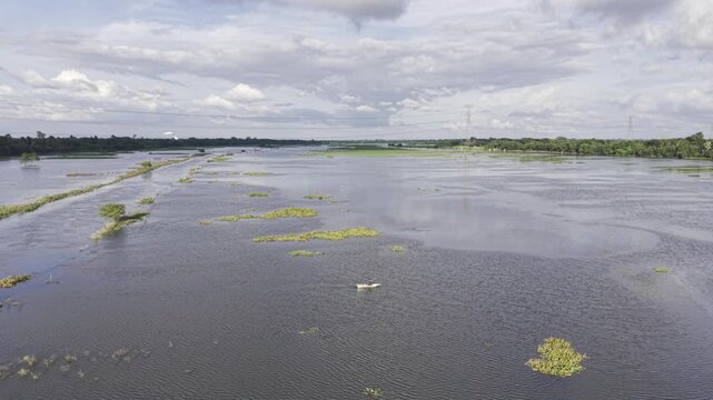
Aerial view of a person traveling by a small traditional boat through flooded agricultural fields at Nandiar Bil in Kushtia, Bangladesh, during the monsoon season.
00:13
HD
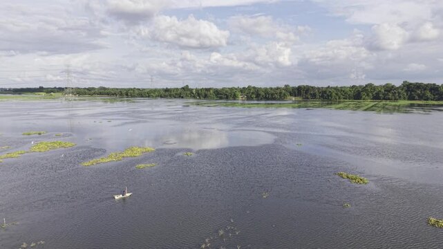
A person navigates a small wooden dinghy across waterlogged farmland at Nandiar Bil, Kushtia, Bangladesh, illustrating rural transport and seasonal flooding during the monsoon.
00:16
HD
Wide aerial footage of a flooded rural wetland in Bangladesh, where a person travels by a small boat across submerged agricultural land surrounded by green vegetation and distant trees.
00:10
HD
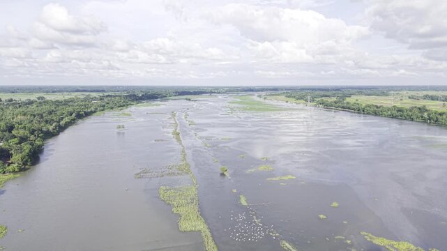
Aerial drone footage of a broad muddy river branching around low green river islands and exposed sandbars, with a distant tree-lined bank beneath a partly cloudy blue sky.
00:10
HD
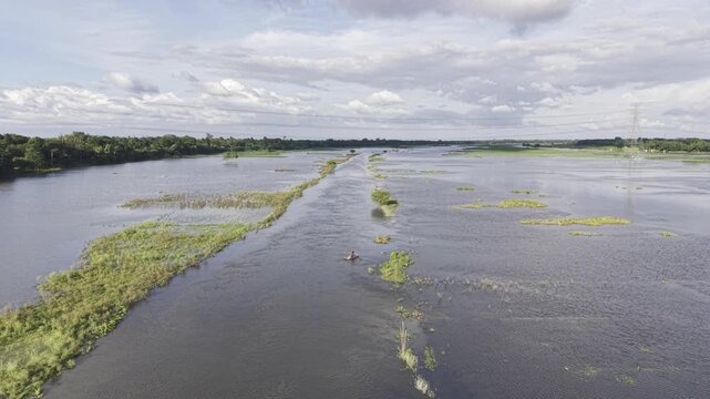
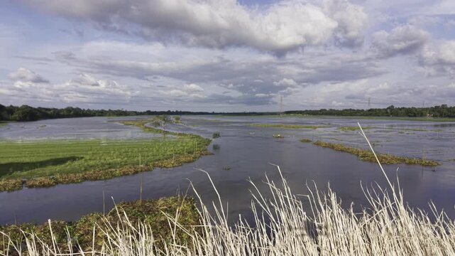
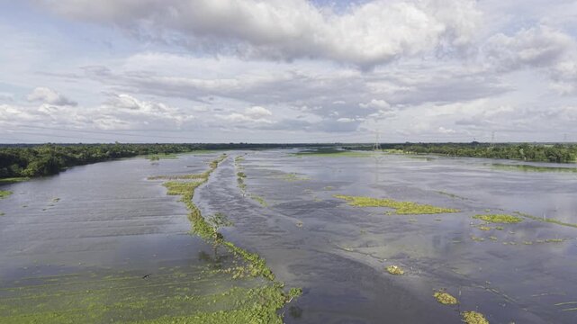
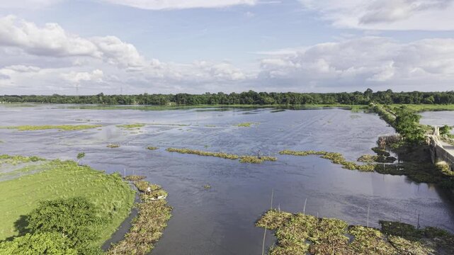
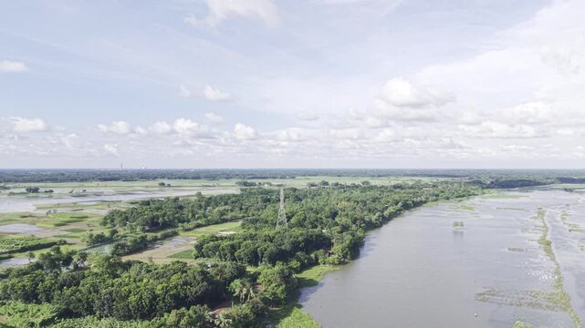
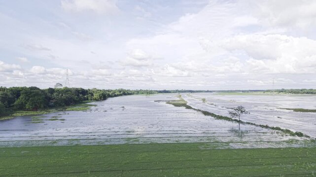
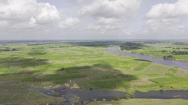
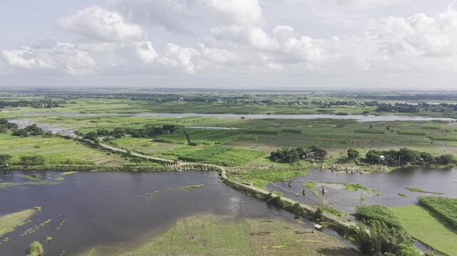
Drone ascends above monsoon-flooded agricultural land in Kushtia, Bangladesh, gradually revealing the extent of waterlogged fields, green village banks, a narrow waterway, and cloudy blue skies.
00:10
HD
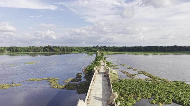
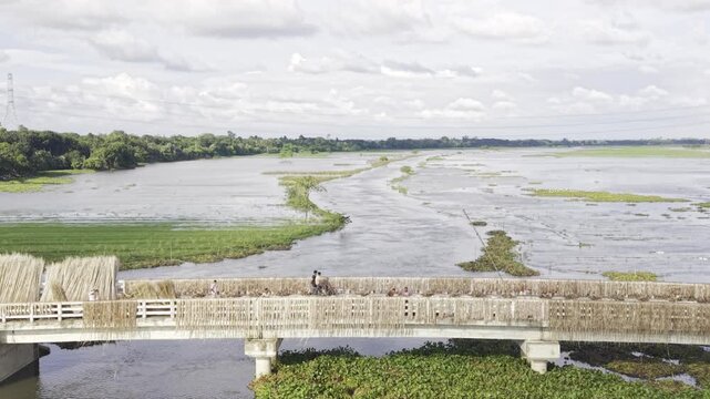
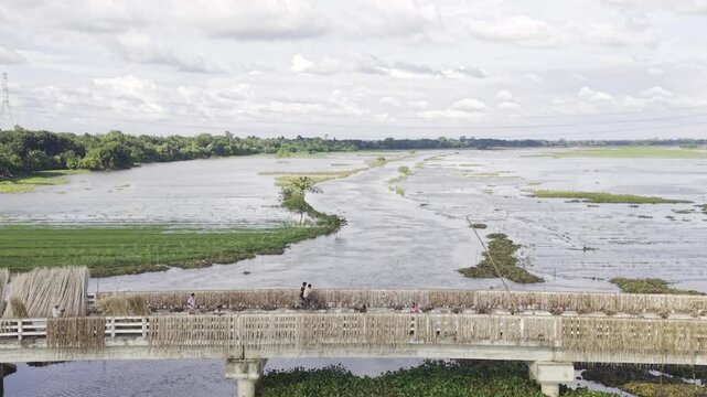
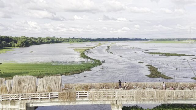
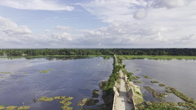
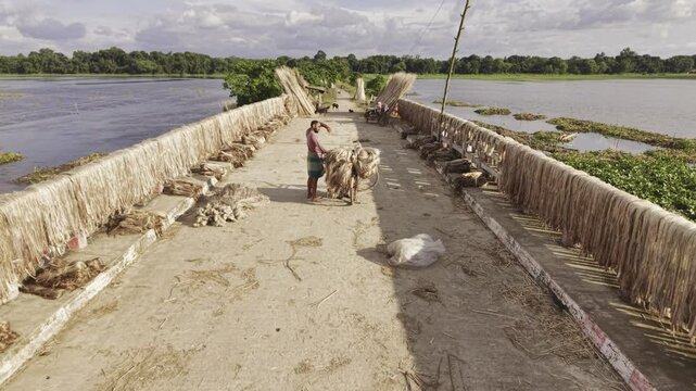
A backward-moving drone reveals jute bundles spread across a narrow rural bridge in Nazirpur, Kushtia, with flooded agricultural fields, green village surroundings, and white clouds above.
00:10
HD
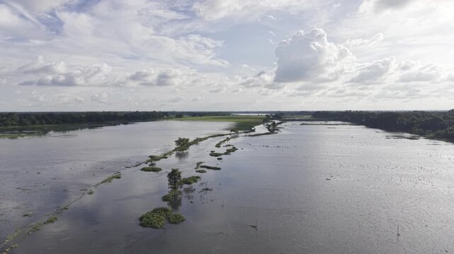
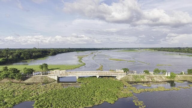
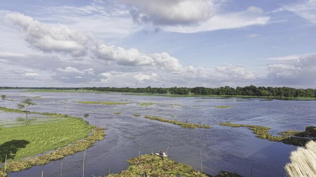
A drone moves forward over a broad rural wetland, revealing shallow open water, irregular patches of green vegetation, a distant tree line and large white clouds in a blue sky in Bangladesh.
00:12
HD
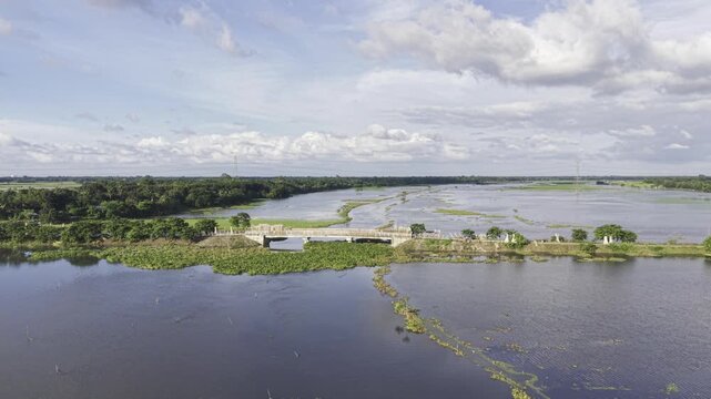
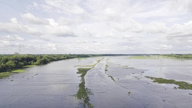
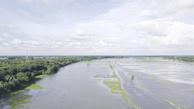
Drone moves forward over monsoon-flooded agricultural land in Kushtia, Bangladesh, revealing a narrow waterway, submerged fields, green grassy village banks, and a blue sky with white clouds.
00:15
HD
An expansive wetland spreads below the drone, with shallow water channels winding around green marshland, a far tree line and a cloud-filled sky over the countryside.
00:10
HD
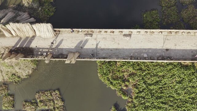
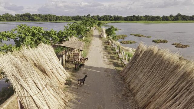
A descending drone approaches a narrow rural bridge covered with drying jute in Nazirpur, Kushtia, highlighting the harvested crop, flooded agricultural land, green banks, and rural surroundings.
00:10
HD
Drone moves forward over monsoon-flooded agricultural land in Kushtia, Bangladesh, revealing a narrow waterway, submerged fields, green grassy village banks, and a blue sky with white clouds.
00:10
HD
Drone footage moves away from a rural bridge where harvested jute is drying, exposing waterlogged farmland, lush vegetation, and a narrow road leading toward a village in Bangladesh.
00:10
HD
An aerial drone advances along a narrow bridge toward a green village in Kushtia, Bangladesh, showing traditional jute drying, waterlogged farmland, roadside vegetation, and seasonal monsoon scenery.
00:10
HD
Rightward aerial footage shows harvested jute drying on a raised village road, with seasonal floodwater covering nearby fields and lush green vegetation extending toward the countryside.
00:16
HD
Aerial drone footage showcases monsoon flooding across agricultural land in Kushtia, Bangladesh, with a narrow waterway, submerged fields, green village surroundings, and a bright blue sky
00:12
HD
Drone ascends above monsoon-flooded agricultural land in Kushtia, Bangladesh, gradually revealing the extent of waterlogged fields, green village banks, a narrow waterway, and cloudy blue skies.
00:15
HD
Drone moves forward over monsoon-flooded agricultural land in Kushtia, Bangladesh, revealing a narrow waterway, submerged fields, green grassy village banks, and a blue sky with white clouds.
00:14
HD
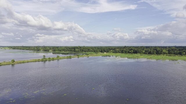
Wide view of an expansive wetland with shallow blue water, patches of green vegetation, a distant tree line and white clouds across a bright blue sky in the rural countryside of Bangladesh.
00:08
HD
A slow forward drone movement approaches the broad wetland, showing reflective shallow water, scattered green marsh vegetation, distant trees and large clouds across the blue sky in Bangladesh.
00:15
HD
Scenic wetland landscape featuring open water, irregular green vegetation along the water's edge, distant trees and dramatic white clouds in a blue sky across the rural countryside.
00:21
HD
The drone ascends above a broad wetland, gradually revealing more open water, green vegetation patches, the distant tree line and large white clouds in the blue sky.
00:10
HD
Children play soccer on a small green island surrounded by wetland water in rural Bangladesh, with patches of aquatic vegetation, a distant tree line and a wide blue sky filled with clouds.
00:10
HD
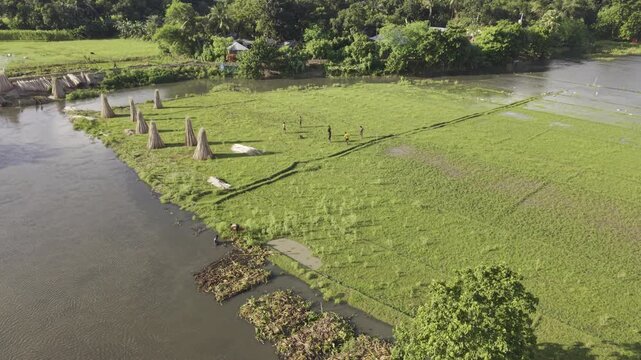
Drone footage reveals people drying harvested jute fibers along a narrow raised route through a wetland, surrounded by floating green plants, shallow water and a distant tree line in Bangladesh.
00:11
HD
Drone footage reveals people drying harvested jute fibers along a narrow raised route through a wetland, surrounded by floating green plants, shallow water and a distant tree line in Bangladesh.
00:13
HD
The drone surveys shallow wetland water dotted with green aquatic plants, capturing irregular vegetation patches, distant trees and bright white clouds against a blue sky.
00:13
HD
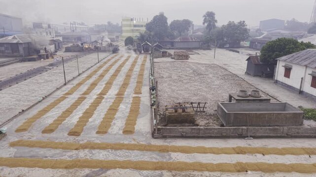
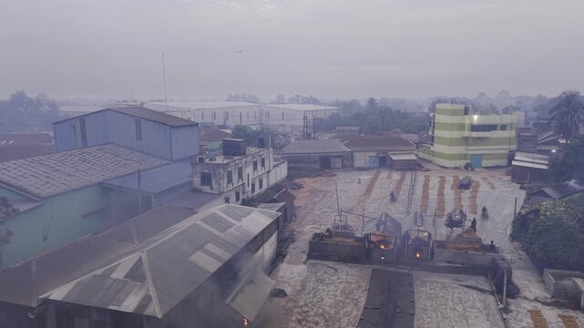
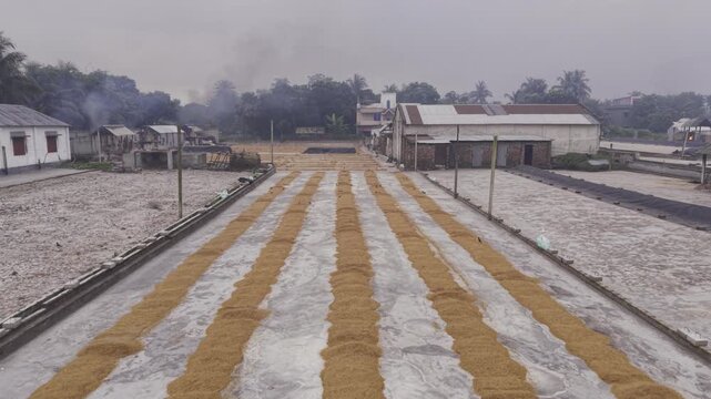
A forward aerial flight reveals freshly parboiled paddy spread across the drying yard of a Khajanagar rice mill during the rice processing process in Bangladesh.
00:10
HD
Aerial drone footage shows freshly parboiled paddy spread across the large drying yard at a Khajanagar rice mill, highlighting an important stage of rice processing
00:11
HD
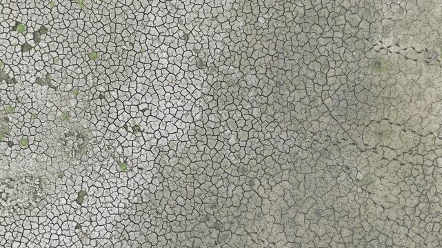
Professional 4K aerial drone footage gliding over a completely dried pond with striking cracked mud textures in rural Bangladesh.
00:10
HD
Professional 4K aerial drone footage gliding over a completely dried pond with striking cracked mud textures in rural Bangladesh.
00:17
HD
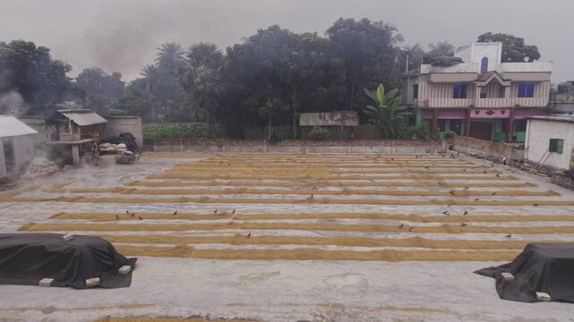
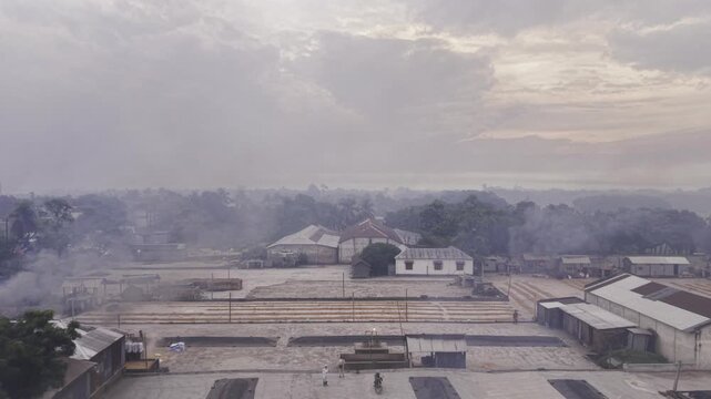
Orbiting drone footage captures workers beginning manual paddy handling at a Khajanagar rice mill, showing the drying yard and early morning rice processing activity from multiple angles.
00:50
HD
Forward drone footage moves over parboiled paddy spread across the drying yard at a Khajanagar rice mill, documenting an important stage of rice processing in Bangladesh.
00:21
HD
Backward drone footage pulls away from a Khajanagar rice mill drying yard, revealing workers manually handling paddy as early morning rice processing begins at dawn in rural Bangladesh.
00:13
HD
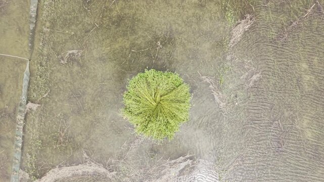
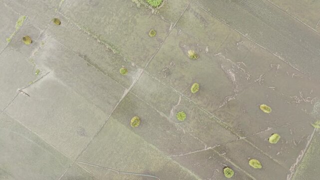
Slow ascending drone footage keeps a standing bundle of harvested jute as the main subject, revealing surrounding waterlogged farmland, field patterns and rural agricultural scenery.
00:09
HD
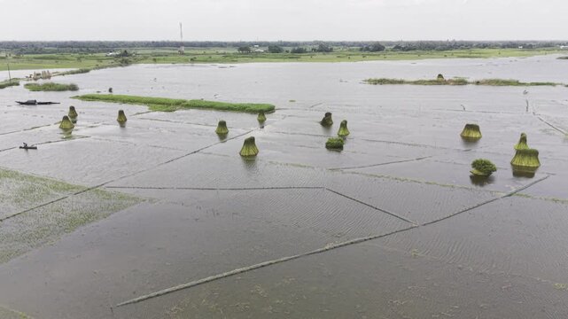
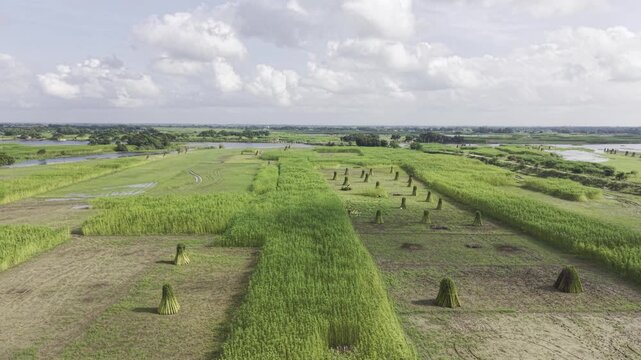
Slow ascending drone footage reveals waterlogged jute fields with bundles of harvested jute standing upright in shallow water, highlighting rural agricultural land and jute harvesting.
00:11
HD
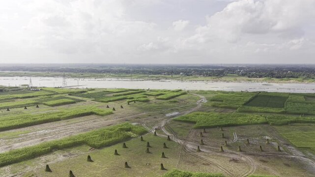
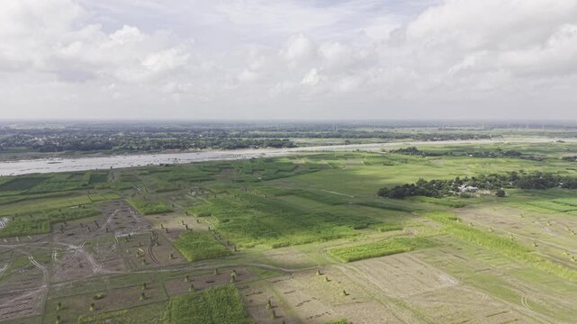
Drone footage moves forward above rural jute fields along a riverbank, revealing harvested jute bundles, green vegetation, waterlogged plots and expansive agricultural land under open skies.
00:10
HD
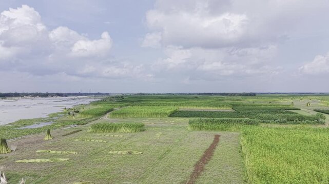
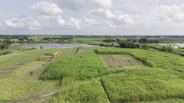
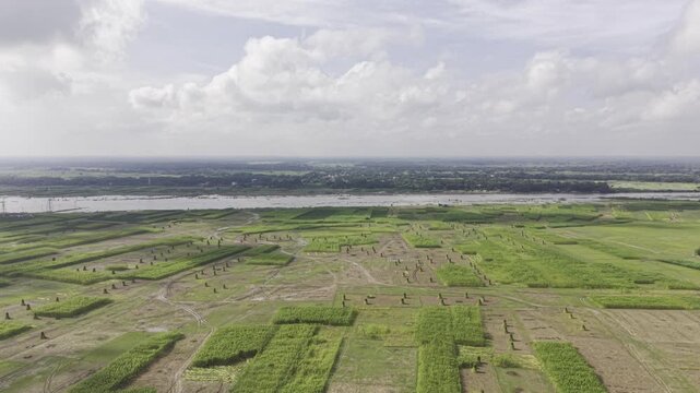
Drone footage shows jute fields with upright bundles of harvested jute and some uncut plants, while distant river water, open sky, and clouds form the rural background landscape.
00:12
HD
Forward drone footage flies over cultivated jute fields beside a riverbank, showing harvested jute bundles, green crops, flooded plots and open rural farmland beneath a cloudy sky.
00:09
HD
Drone aerial footage captures jute fields with standing harvested jute bundles and uncut plants, with distant river water, open sky, clouds, and surrounding rural farmland visible.
00:09
HD
Aerial footage reveals jute fields with harvested jute bundles standing upright beside uncut plants, with distant river water, open sky, clouds, and rural farmland visible across the scene.
00:09
HD
Drone footage moves forward over jute fields with upright harvested jute bundles and uncut plants, while distant river water, open sky, and clouds remain visible in the rural landscape.
00:11
HD
Aerial drone footage captures harvested jute bundles standing upright among uncut jute plants, with distant river water, open sky, clouds, green vegetation and rural farmland.
00:09
HD
Forward-moving aerial footage passes over jute fields with standing harvested bundles and uncut plants, with distant river water, open sky, clouds, and rural farmland visible ahead.
00:10
HD
Aerial footage shows jute fields with upright bundles of harvested jute and some uncut plants, while distant river water, open sky, and clouds form the rural background landscape.
00:14
HD