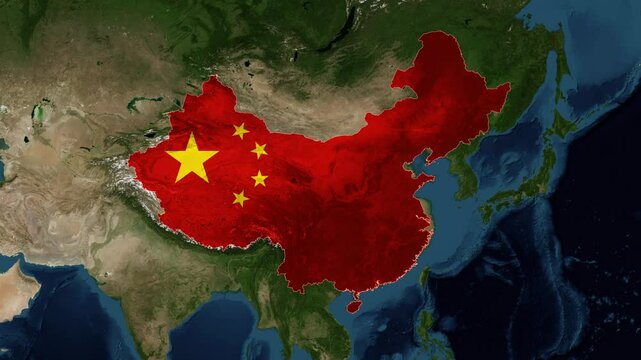


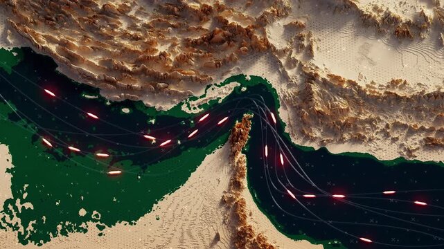

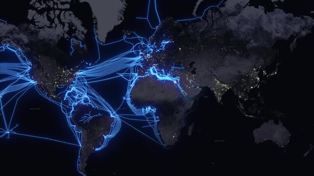

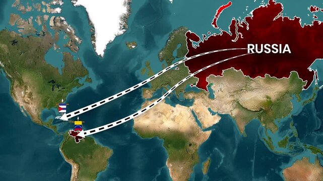


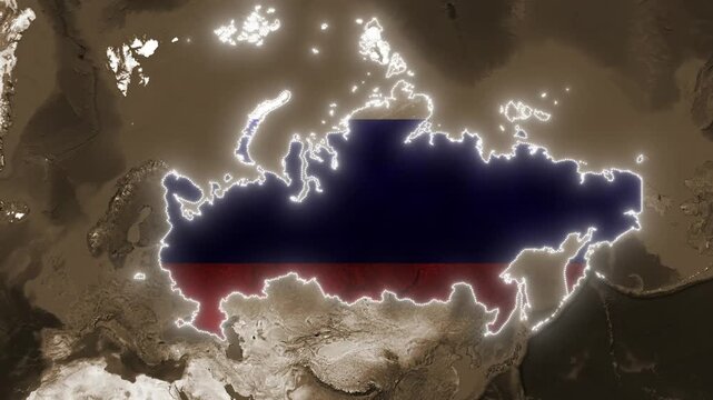


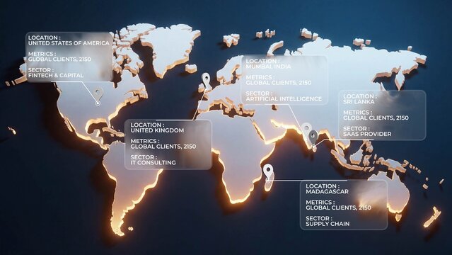
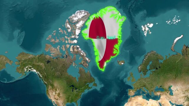
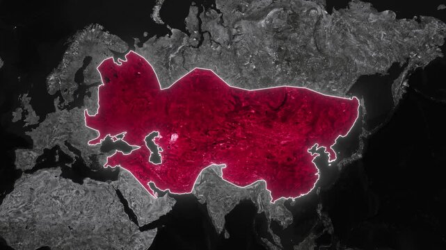
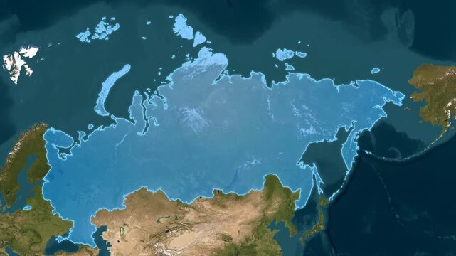
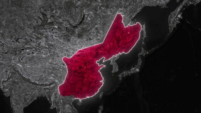
World Map Data Visualization


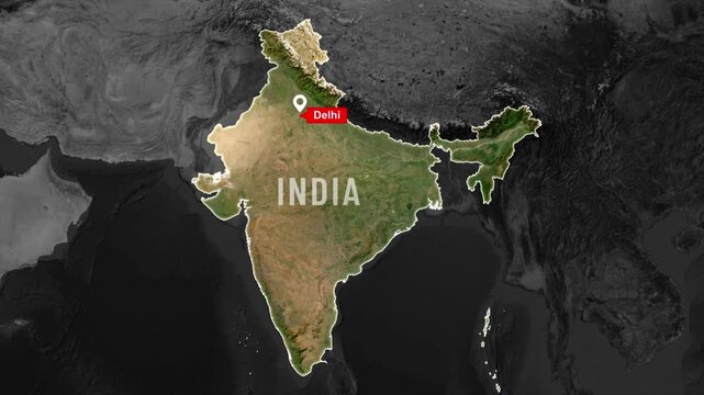
Map Search Location Pin Drop 07
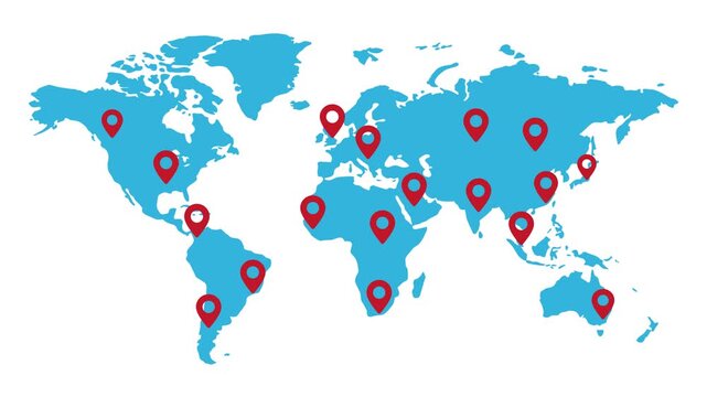


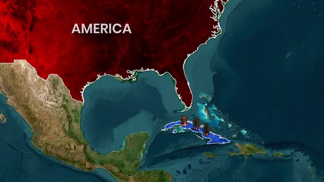


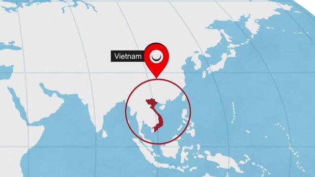


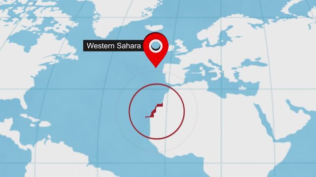
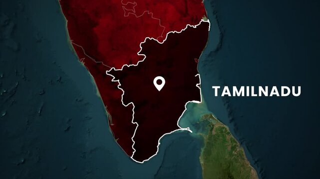
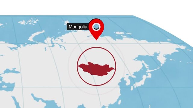
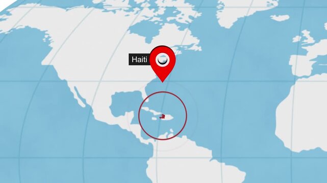
Map Search Location Pin Drop 02
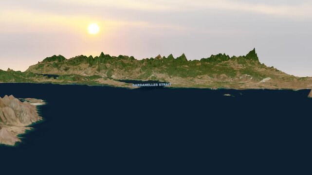


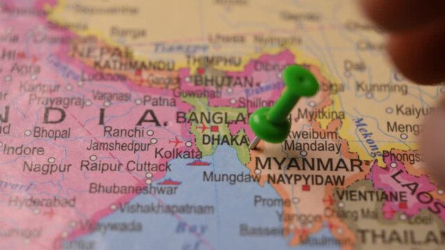


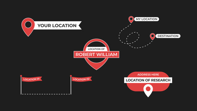
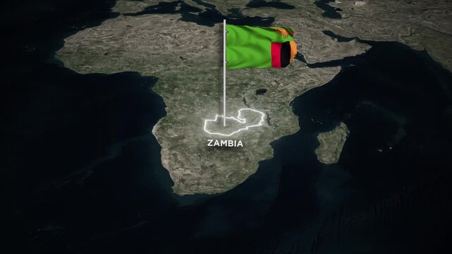
Location Titles Overlays


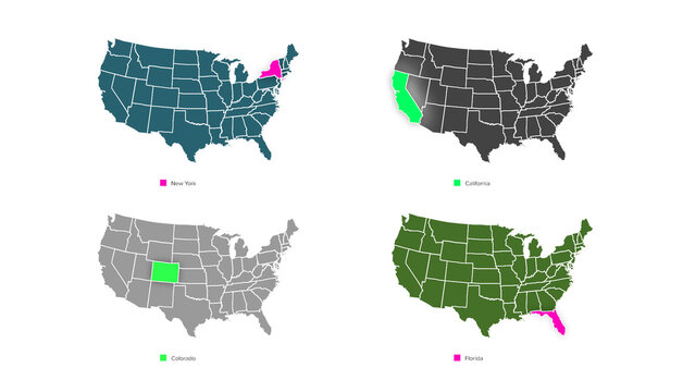
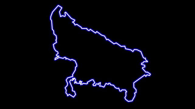
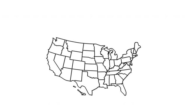
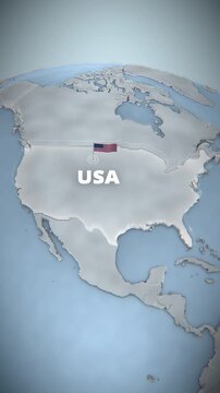
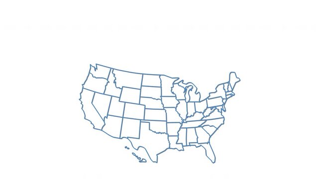
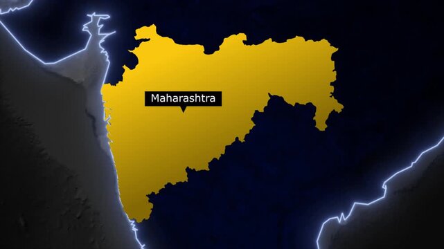
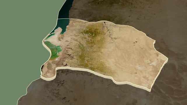
American States Map with Highlighter


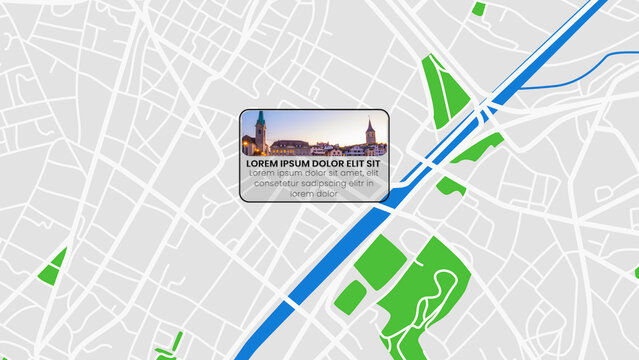
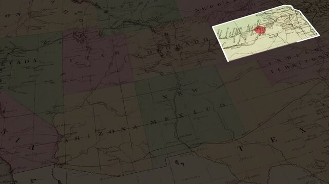
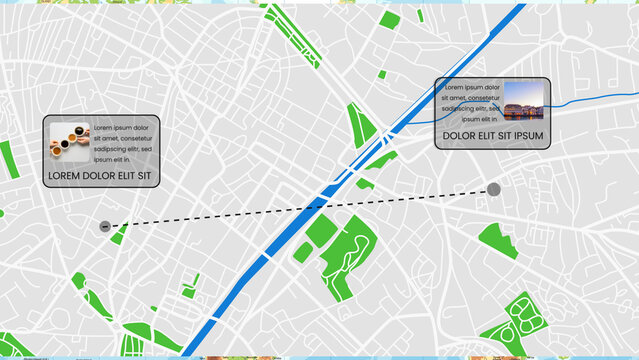
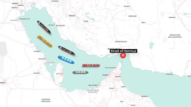
Bordered Top-Left Callout
無料