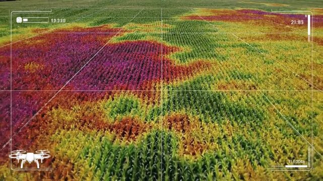
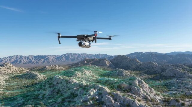
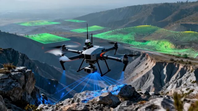
パスワード設定用のリンクを に送信しました。今後は、購入画面にアクセスする際にパスワードが必要になります。
無料体験 : 10 点のストック画像に加えて AI 編集ツールを入手
新しいフィルターが追加されました
並べ替え

すべて 内の drone mapping の検索結果 85,645 件

次から表示 : drone mapping(ビデオ内) (17677)
A modern grey quadcopter drone with a mounted camera, orange indicator lights, and spinning propellers on a white background
00:08
aet Hud Maps
Medium shot showing drone inspecting highaltitude mining area highlighting realtime data collection and terrain mapping technology.
00:06
A drone flies over a forest, mapping terrain with a digital grid overlay for surveillance or environmental monitoring. Climate innovation lab.
00:05
Aerial view of a drone flying over a construction site.
00:09
A drone surveys an archaeological site in the desert. Researchers use a tablet to view the live feed.
00:10
aet Hud Drones
Smart agriculture drone scanning corn field with thermal mapping technology monitoring plant health for precision farming efficiency
00:08
Medium shot of a drone equipped with lidar technology capturing detailed topographical data over a rugged landscape under clear skies
00:05
Simulated drone aerial view panning over a vast digital planning grid with areas pulsing in vibrant heatmap colors indicating data density and activity business, digital, communication
00:08
Aerial drone footage of sugar production industry with chimneys silos and factory buildings near Wissington
00:33
Hud Panel Drones
00:20
A drone capturing wide-area thermal footage of farmland, mapping soil temperature variations that guide precision irrigation and crop health decisions. cinematic color correction, natural uneven
00:10
Construction Drone Monitoring Aerial Photography and LiDAR Technology – industrialized construction building industry AEC uav aerial footage
00:10
Midrange shot highlighting a drone surveying uneven terrain utilizing advanced mapping technology to create detailed digital elevation models for site analysis.
00:06
Aerial view of construction site with excavator stacked building materials and service vehicles captured by drone
00:14
Man piloting drone from boat on the ocean using tablet device.
00:08
A modern tractor drives through a lush green field with a drone flying overhead at sunrise with digital graphs overlay
00:08
Modern quadcopter drone flying against a green screen background for easy editing.
00:07
Military surveillance drone radar screen scans target enemy positions
00:15
Drone Mapping River Delta with 3D LiDAR Visualization and Realistic Shadows
00:08
Digital agriculture aerial farm field sensor soil crop yield mapping smart farm network connected fields sunset precision monitoring golden light
00:05