Et link til indstilling af din adgangskode er sendt til: For at få adgang til dine køb i fremtiden har du brug for en adgangskode.
Få 3 videoer eller 25 billeder med en gratis prøveversion
Nye filtre tilføjet
Sortér efter

5.075 resultater for canada map i videoer

Continuous line drawing of canada map outline animation appearing on white background clip.
00:25
HD
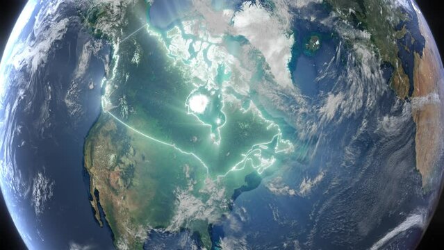
Realistic Earth Orbit and Zoom Glowing Borders Canada
00:14
HD
Canada map border animation highlighting nation on global satellite video
00:08
HD
Sunrise over the Americas. Elements furnished by NASA. 4K animation.
00:17
HD
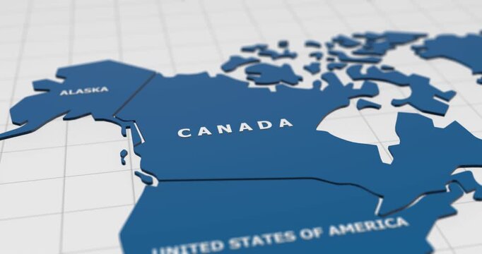
close-up 3d map of canada 4k animation
00:15
HD
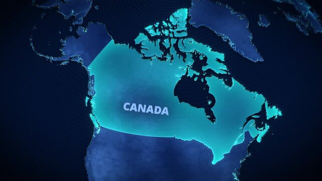
3D digital globe map highlighting Canada with glowing cyan borders and text, futuristic holographic cartography for corporate presentation backgrounds and broadcast news graphics.
00:12
HD
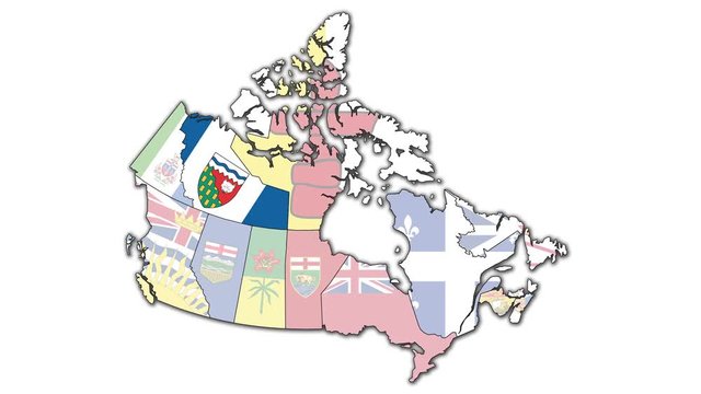
Animated administration map of canada with flags of regions
00:26
HD
Zoom from Earth to Canada. World map animation with country borders, Images from NASA
00:11
HD
Canada map with an animation camera, glowing round connections in different places and other visual effects.
00:20
HD
Earth connection in the United States from orbit. 3D planet earth animation with a white transition at the end.
00:15
HD
Animated glowing map of Ontario, Canada, with a highlighted outline on a dark gray gradient background, ideal for geography, travel, news, and infographic projects.
00:08
HD
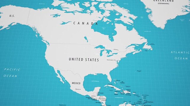
4K macro video of the United States on a world map with shallow depth of field. Focus on word United States and surrounding areas including Canada, Mexico, and the Gulf of Mexico.
00:12
HD
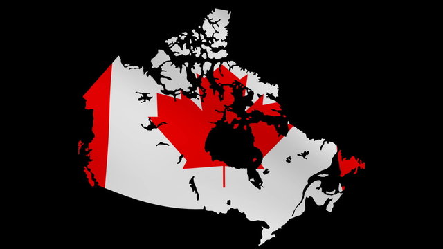
3D animation of Canada map rotating, isolated by alpha channel (transparent background). Canada concept.Canadian flag. Travel to Canada
00:22
HD
canada country map geographic interconnecting communication technology animation
00:12
HD
3D map animation of Canada with rotating national flag sphere on textured background
00:12
HD
vintage sepia colored world map - zoom in to North America - blank version.
00:20
HD
Close-up shot of a red pushpin marking the country of Canada on a vintage-style paper map, symbolizing travel planning, a destination point, or international relations and geography
00:07
HD
Zooming on Toronto, Canada. Earth zoom in from outer space to city. The animation continues by zoom out through clouds and atmosphere into space. View of the Earth at night. Images from NASA. 4K
00:21
HD
North American and Canada from Space at night, city nightlights. Slow Zoom into a slowly rotating plane Earth.
00:16
HD
Atlas map of the world globe spinning zooming in and focusing on the country of Canada, canadian. Showing area, motion video stock in HD and 4K
00:15
HD
Canada - Toronto - Zooming from space to earth
00:08
HD
Futuristic Motion View Blue Colorful Shiny Digital Technology Hud Dots Mosaic Grid Canada Map Light Scanning With Numeric Tech Particles Background, Seamless Loop
00:20
HD
Grey world map with location pins and countries highlighting blue over time on black background. Great for travel videos, office location graphics, and geography lessons.
00:08
HD
Zoom in to the map of Canada with text, textless, and with flag
00:30
HD
usa map and flag of usa
00:59
HD
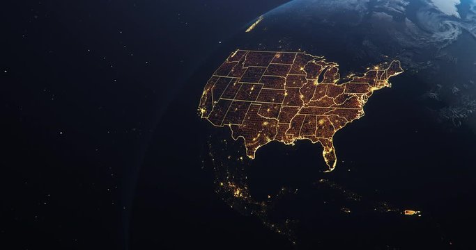
Planet Earth from Space USA, United States highlighted state borders and counties animation, elements of this image courtesy of NASA
00:30
HD
Canada with flag country nation outline world map motion graphics animation
00:08
HD
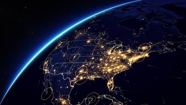
Animation of Rotating Earth. United States Map with Bright Connections, Hud and City Lights Representing Satellite, Mobile and Technological Signals.
00:15
HD
Rotating Earth Globe Focusing on Canada and North America Political Division Widescreen Animation
00:07
HD
Realistic Earth Orbit and Zoom Glowing Borders Canada
00:14
HD
Canada map with rippling flag animation
00:14
HD
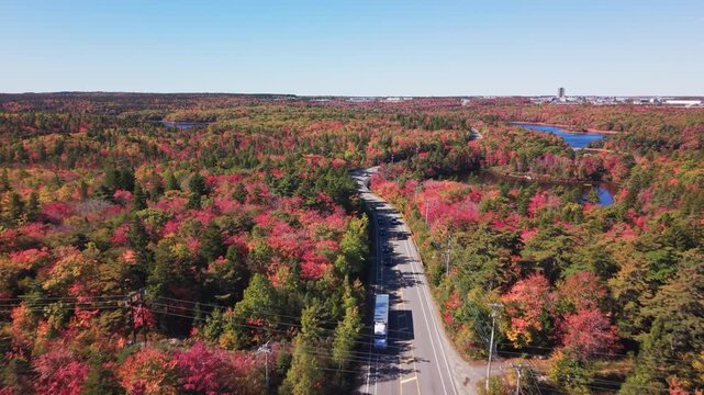
Views of highway leaving Halifax in autumn in Nova Scotia Canada
00:21
HD
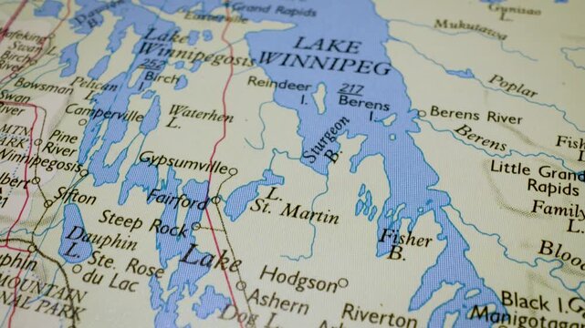
Gliding macro view over physical atlas map showing Lake Winnipeg in Canada
00:13
HD
close-up 3d map of united states of america (usa) and north america region 4k animation
00:15
HD
India to the world spread connection map animation
00:15
HD
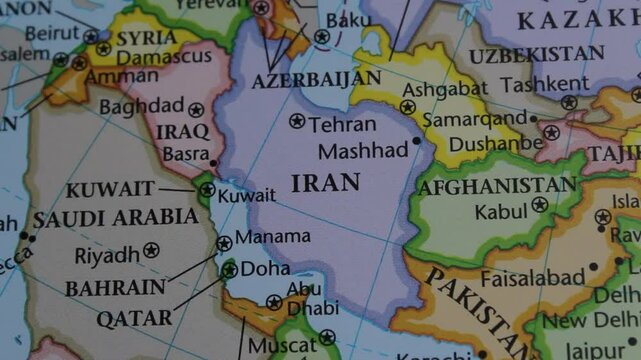
close up of the country of Iran viewed on a wold map as a travel concept. Iran on a map. Political map of Iran
00:24
HD
World Map with Code Technology Background Canada Map with PinPoint still
00:12
HD
Animated map of Manitoba, Canada, highlighting the province, Animated map of Manitoba, Canada, highlighting the province boundary and location within Canada. Useful for geography, education, regional
00:15
HD
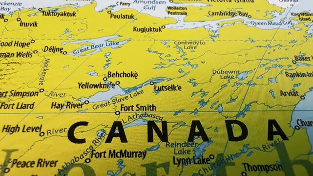
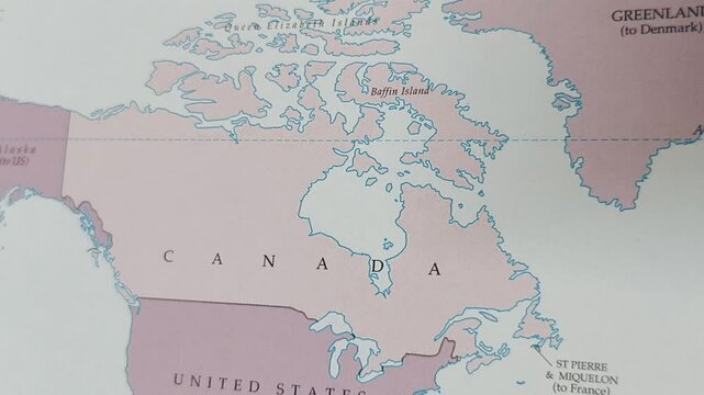
Closeup of a map of canada focusing on the northwest territories and northern provinces
00:13
HD
Vintage map showing Canada. From above zooming in.
00:20
HD
Canada - Vancouver - Zooming from space to earth
00:08
HD
Sketch Canada outline map animation - smooth progressive reveal
00:05
HD
Animation of Canada country map on the world map. Animation of map zoom in with border and marking of major cities and capital of the country Canada. Background with alpha channel. Motion design.
00:11
HD
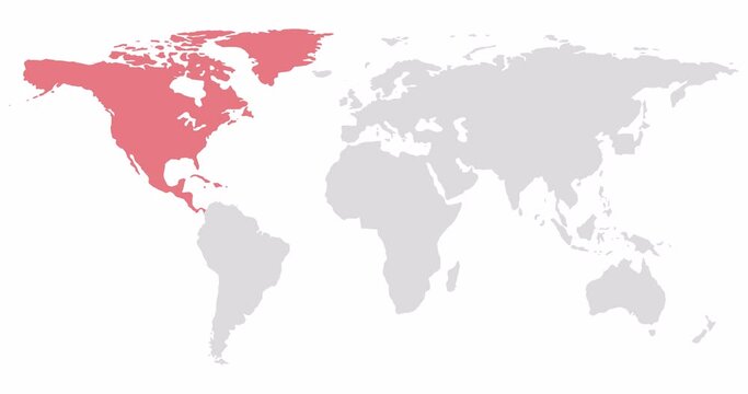
2D World map with red highlighting of North America. Allocation of the mainland territory. Alpha channel. 4K
00:16
HD
Spinning Earth with Canadian province maps.
00:22
HD
shapes of states flying in to create a full map of Canada with flag
00:15
HD
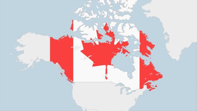
Canada map highlighted in Canada flag colors and pin of country capital Ottawa.
00:10
HD
Map of North American and European Countries and Cities with Lights at Night. 3d Animation. Rotating Realistic Earth.
00:30
HD
Earth zoom to the Great Lakes
00:16
HD
Earth in Space. Orange Lines connect Toronto, Canada with Cities across the World. Global Travel or Business Concept.
00:06
HD
Québec, province of Canada, with its capital, localized, outlined and zoomed with informative overlays on a bilevel map in the Stereographic projection. Animation 3D
00:09
HD
Planet Earth from Space USA, United States highlighted state borders and counties animation, elements of this image courtesy of NASA
00:30
HD
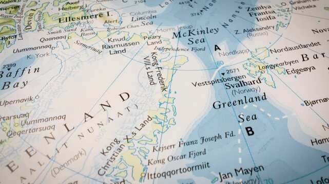
Arctic Ocean map journey, cinematic gliding flight across the polar region
00:16
HD
Map of Canada with flag. A quick rotation appears on a white background. Animation with Alpha Channel
00:13
HD
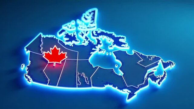
3D Neon Border Map of Canada
00:05
HD
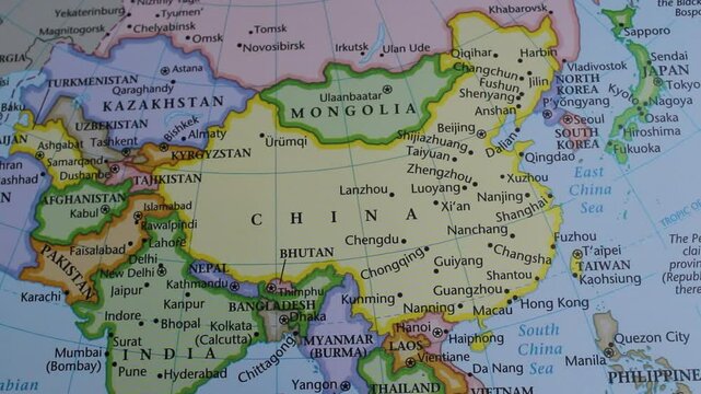
close up of the country of China viewed on a wold map as a travel concept. China on a map. Political map of China
00:29
HD
map of the world, has canada, newfoundland island
00:24
HD
Zoom in to the map of United States and Canada with text, textless
00:20
HD
Vertical 3D digital globe map highlighting Canada in glowing red alert on dark background, ideal for short-form social media news updates, mobile app promos, and smartphone digital ads.
00:12
HD
The bright lights of many USA cities at night, as seen from an orbiting satellite. Night map of the southern states or Dixieland with densely populated areas. Elements of this image courtesy of NASA.
00:10
HD
Waving canadian flag map animation: isolated national symbol of canada on white background, for patriotic and, corporate projects
00:08
HD
Flat earth map depicts a flat planet, suitable for digital design, conspiracy theory concept, educational purposes, and controversial topics.
00:07
HD
canada map. Group of people walk and create a map of canada.
00:17
HD
Map of Canada with country regions outlines. 3d animation
00:14
HD
World map animation highlighting canada with national flag and satellite geography view
00:10
HD
Animated map of Canada with glowing borders and country label footage
00:08
HD
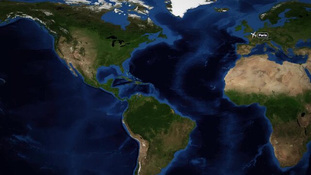
Animated Flight Route Map from Paris France to Vancouver Canada
00:24
HD
Close-up of USA map with American flag pin in United States, slow camera move
00:30
HD
Glowing neon outline map of canada animation on black background
00:10
HD
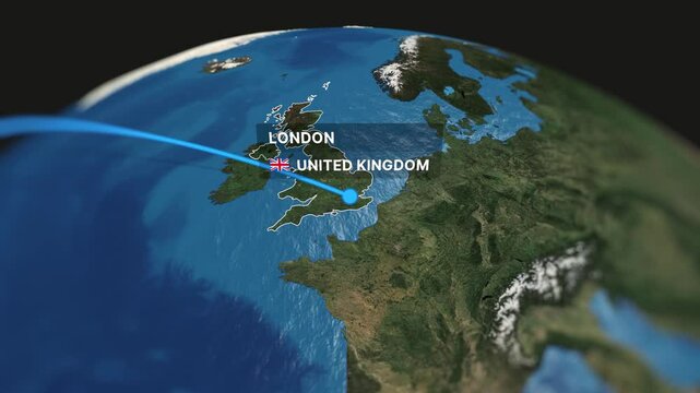
Professional 3D animated map illustrating a flight route from Toronto to London. Perfect for travel videos, tourism promotions, and business presentations.
00:10
HD
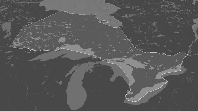
Ontario, province with its capital, zoomed and extruded on the bilevel map of Canada in the conformal Stereographic projection. Animation 3D
00:08
HD
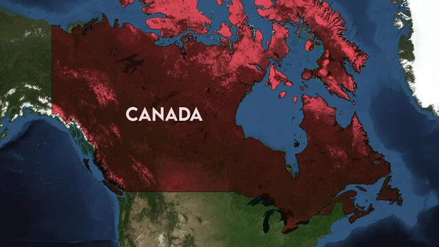
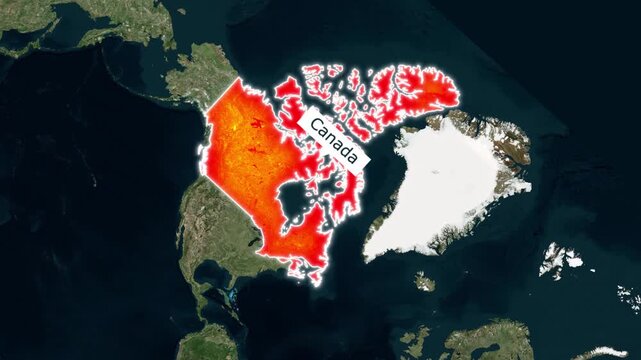
Canada map animation with red fill and glowing white outline
00:15
HD
Digital glowing network map of Canada showing interconnected communication lines and data transmission.
00:08
HD
Canada location marker animation with map pin icon, highlighted destination point, geographic navigation symbol, and transparent background.
00:12
HD
World map with US Airports, Roads and Railroads. Gray. Highly detailed US map. Loopable. More options in my portfolio.
00:27
HD
close up of the country of Latvia viewed on a wold map as a travel concept. Estonia on a map. Political map of Lithuania
00:40
HD
Canada dotted digital map. Map of Canada with pulsating colored circles. Shape of the country filled with blue disks. Cool video.
00:15
HD
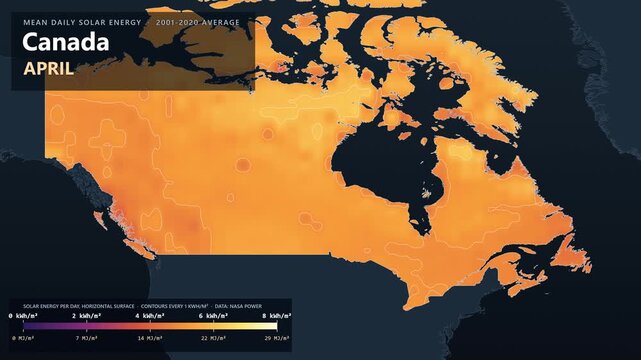
Canada solar energy map by month, kWh per square meter
00:14
HD
Animated zoom from a world map into a stylized blue digital map of Canada highlighting the country with glowing outlines and a name label for a futuristic news and travel graphic template.
00:13
HD
Planet Earth at Night. Canada Night Map. View from Space Orbit. Globe
00:15
HD
Detailed view of a red circle marking to canada on a modern political world map
00:10
HD
White and black location pin icon with Canada text animation on black background. This location icon is from Canada Location pin icon, map marker icon, destination icon.
00:10
HD
stunning aerial view of north america illuminated at night from space, concept of global connectivity and technology, mapping and geography, top view
00:10
HD
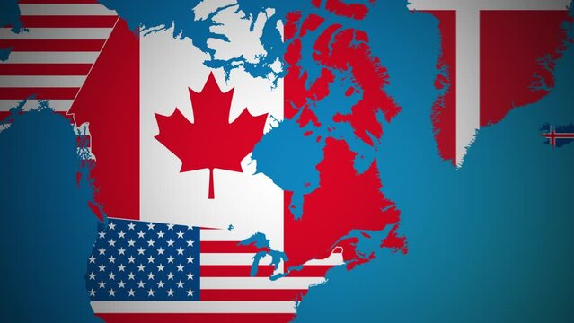
3d maps of the USA, Canada and Greenland with their flags being replaced by an US flag as pattern. Concept for imperialistic tendencies in the US to annex Canada and Greenland.
00:08
HD
Zoom in on the map of Montreal City in Canada, with text. Cinematic digital abstract 3d world map animation highlights aerial views, tourism, and travel. 4k
00:15
HD
3D animated map of North America with a smooth camera flyover.
00:12
HD
old map of north America, america and canada
00:11
HD
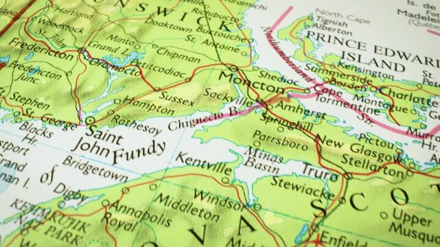
Nova Scotia to New Brunswick, Canada – Gliding view over a physical map
00:14
HD
Neon green canada map outline animation, glowing digital country border motion on black background
00:10
HD
Canada map with glowing network links and connected cities
00:06
HD
Realistic beautiful view from space of the American continent at night before dawn. Luminous lights of evening cities. Orbiting over Northern America Panet is slowly rotating around its axis. 4k.
00:24
HD
West Coast Of USA Slider Shot
00:31
HD
Aerial view of Planet Earth at night, showcasing bright city lights across North America from orbit. Global communication and human activity. Motioin design.
00:30
HD
red on white canada country map border sparkling circles animation
00:20
HD
Earth Globe Hologram Spinning North American Map City Lights, Networks and Financial Charts. Futuristic Business Technology Concept, Artificial intelligence, IOT, AR. United States, Mexico, Canada.
00:10
HD
Canada map 3d. 3d map of Canada.
00:10
HD
Aerial view of the map of North America.
00:05
HD
Orbiting over North Pole 3D Animation 4k
00:13
HD
Digital Pixel Art Earth Night from Space Rotate and Zoom Shining Country Canada
00:14
HD
North America flyover at night. Wide angle view from space. Broadcast quality 4K animation.
00:19
HD