Ein Link zum Festlegen deines Kennworts wurde gesendet an: Um in Zukunft auf deine Käufe zugreifen zu können, benötigst du ein Kennwort.
Erhalte 10 Stock-Bilder mit einer kostenlosen Testversion.
Neue Filter hinzugefügt
Sortieren nach

3.163 Ergebnisse für paraplan in „alle“

178 Ergebnisse in Video
Highlighted Brazil Provinces on World Map in Digital 4K Animation
00:08
HD
Aerial drone footage of Belem, Para, BR, cityscape featuring preserved forest in the "Rodrigues Alves" park and botanical garden between dense urban development
00:15
HD
Sketch Para outline map animation - smooth progressive reveal
00:05
HD
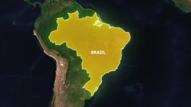
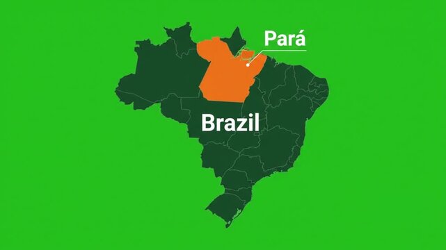
Pará State Highlighted in Yellow on Brazil Map Dark Background Animation
00:08
HD
Para_Map video footage animation showing geographic map visualization with smooth motion background suitable for presentations digital media marketing
00:12
HD
Suriname political map zoom animation over South America 4K
00:12
HD
Brazil_Para_location_in_circular_map_blue Video Footage Animated Motion for professional design projects presentations digital media and commercial vi
00:08
HD
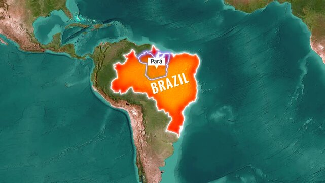
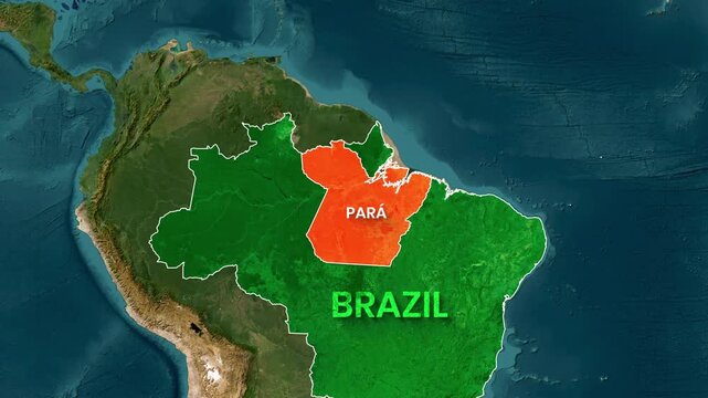
Zooming in on a map of Brazil highlighting the state of Para
00:16
HD
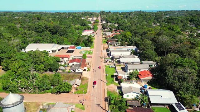
Aerial passage with drone over suburban residential neighborhood in Santarem, Para state.
00:16
HD
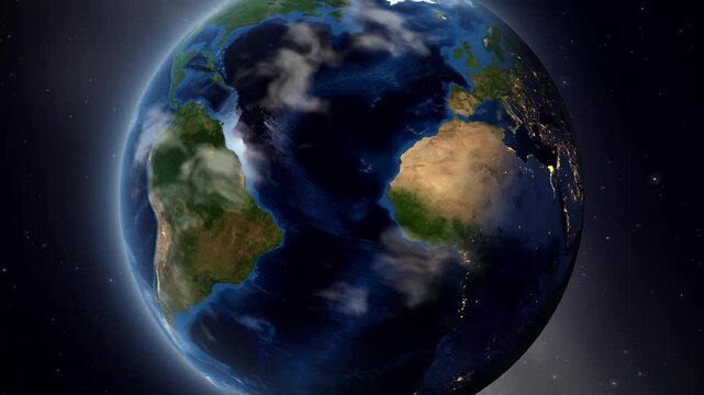
Satellite Zoom from Space to Capanema Brazil on Planet Earth
00:20
HD
Para Map - Brazil South America technology concept Minimalist Glitch Effect
00:13
HD
Animated map footage highlighting the state of Pará within Brazil
00:14
HD
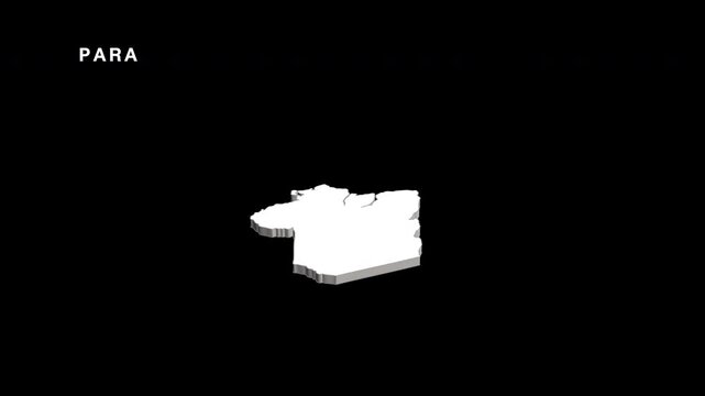
Para - state of Brazil, extruded. Satellite map
00:07
HD
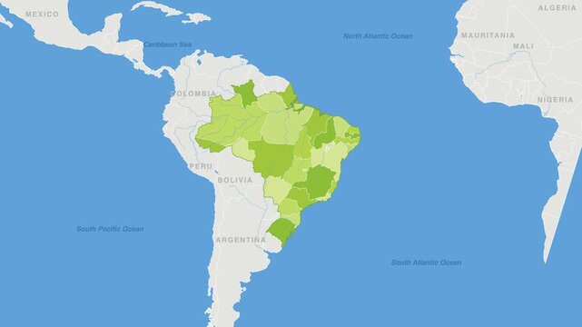
Brazil political map zoom animation over South America 4K
00:12
HD
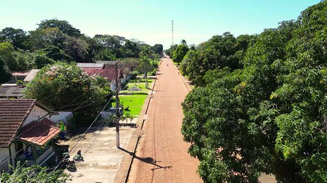
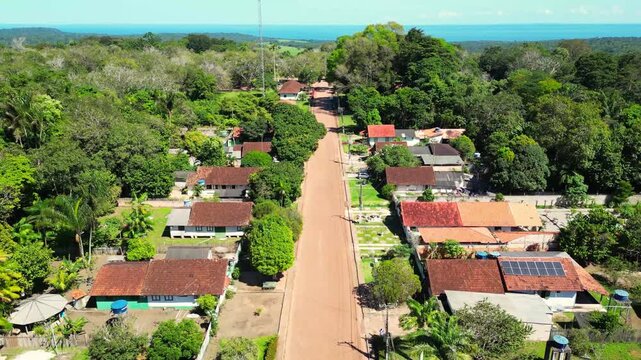
Aerial drone footage over Belterra, Pará, Brazil, a unique planned town established in the 1930s as part of an international rubber production project in the Amazon. The town preserves its distinctive
00:30
HD
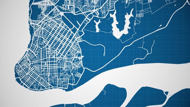
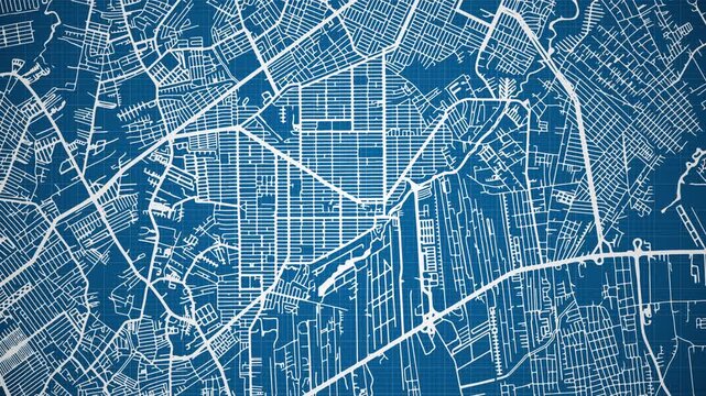
Ink reveal animation of Belém city, Pará, Brasil (Brazil) grid map. Aerial top view. Blueprint style. White lines with blue background. 4K Seamless loop.
00:12
HD
Brazil Para State Map Animation Amazon Region Geographic Visualization
00:30
HD
Aerial drone footage over Belterra, Pará, Brazil, a unique planned town established in the 1930s as part of an international rubber production project in the Amazon. The town preserves its distinctive
00:49
HD
Ink reveal animation of Ananindeua city, Pará, Brasil (Brazil) grid map. Aerial top view. Blueprint style. White lines with blue background. 4K Seamless loop.
00:12
HD
Earth Zoom In to Bragança Brazil Satellite Map Animation
00:20
HD
Aerial drone footage over Belterra, Pará, Brazil, a unique planned town established in the 1930s as part of an international rubber production project in the Amazon. The town preserves its distinctive
00:26
HD
Para state brazil map animation on black background
00:20
HD
Digital map illustration of brazil highlighting para state
00:10
HD
Earth Zoom In to Breves Brazil Map Pin Animation
00:20
HD