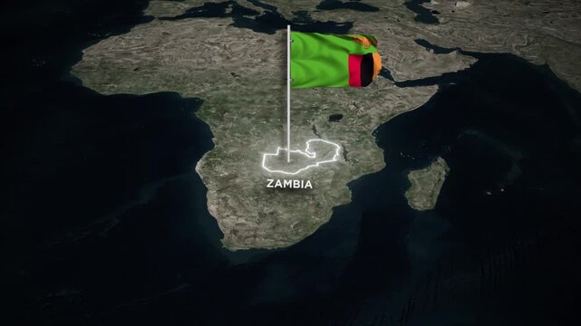


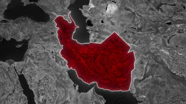


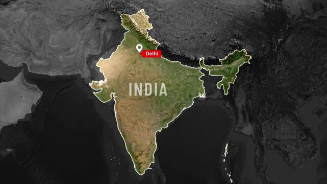

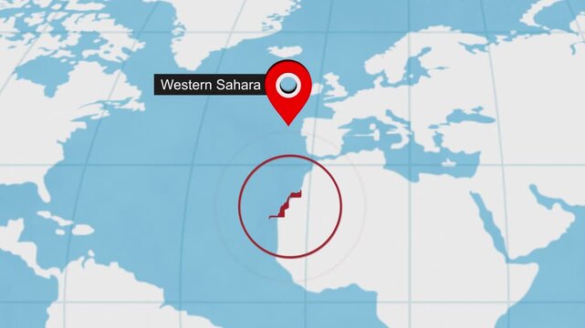
Map Search Location Pin Drop 02
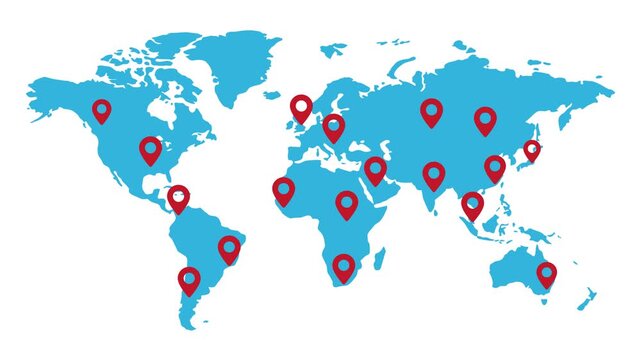
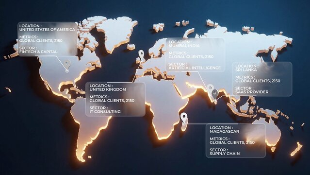
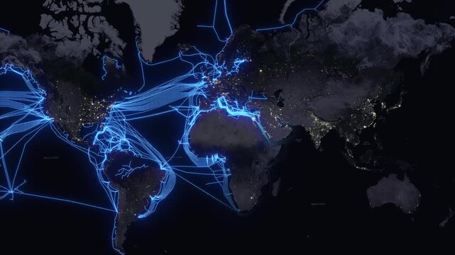
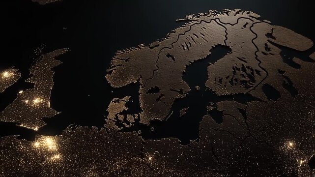
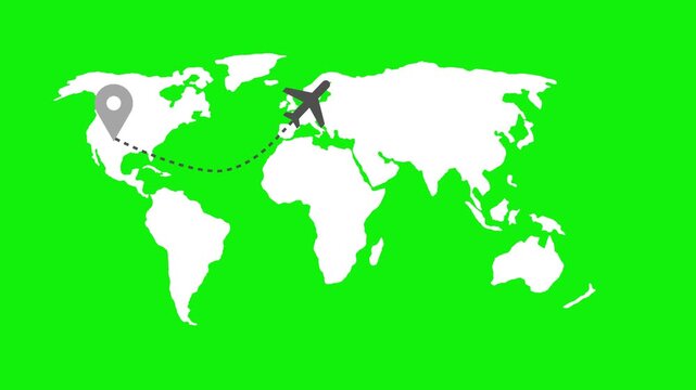
World Map Data Visualization


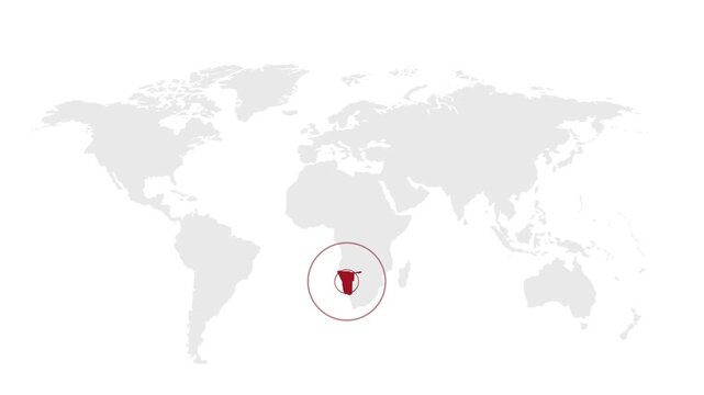
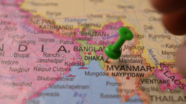
Map Search Location Pin Drop 07
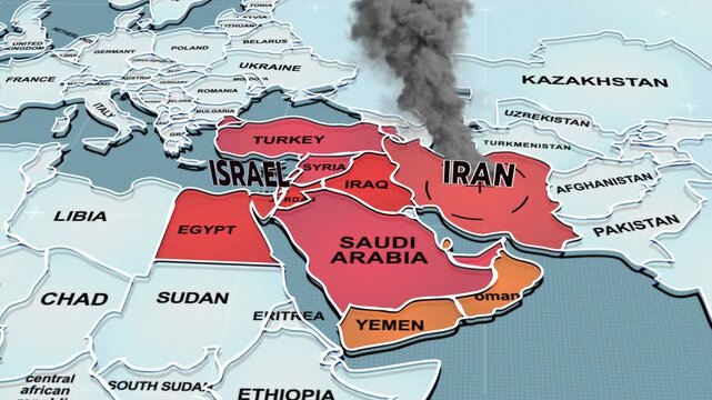


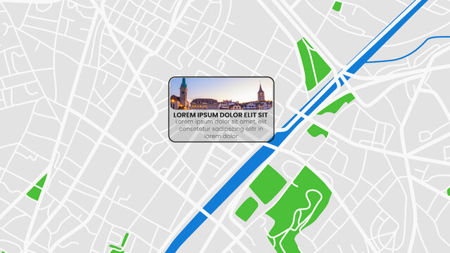
Map Pin Overlay
KOSTENLOS
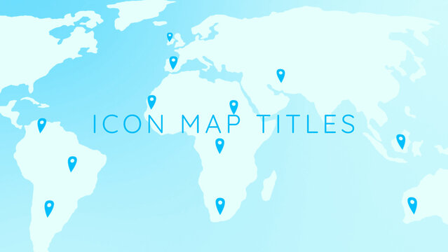
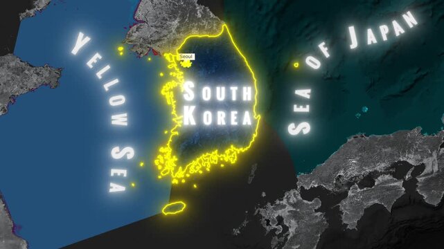
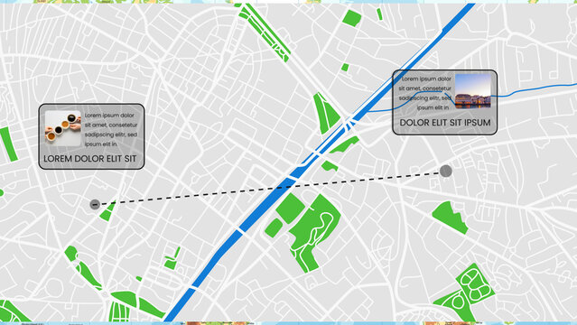
Cool Icon Map Titles


Weitere Testversionen:
map animation in Bilder,
map animation in Videos,
map animation in Vorlagen,
map animation in Premium