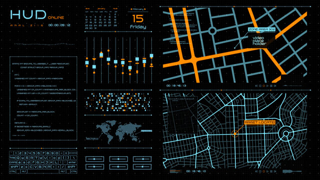
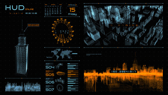
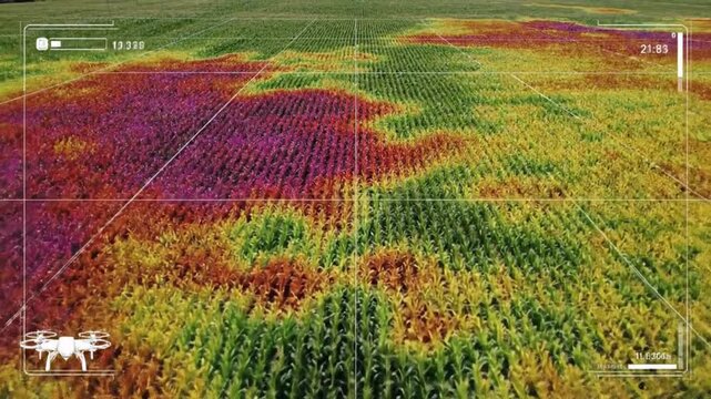
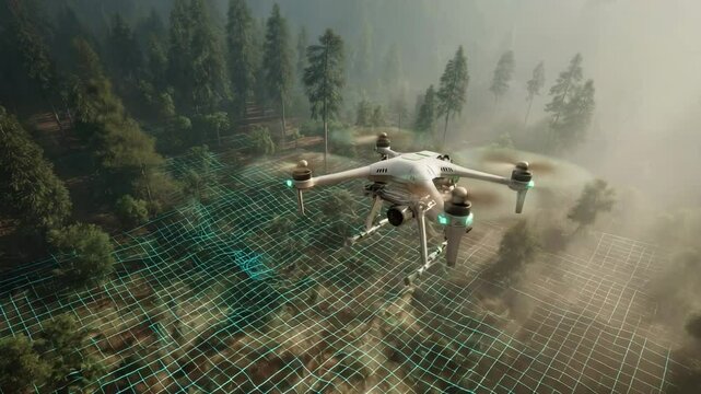
Ein Link zum Festlegen deines Kennworts wurde gesendet an: Um in Zukunft auf deine Käufe zugreifen zu können, benötigst du ein Kennwort.
Kostenlose Testversion: Sichere dir 10 Stockfotos plus KI-Bearbeitungs-Tools.
Neue Filter hinzugefügt
Sortieren nach

86.434 Ergebnisse für drone mapping in „alle“

Anzeigen drone mapping in Videos (17759)
Medium shot showing drone inspecting highaltitude mining area highlighting realtime data collection and terrain mapping technology.
00:06
aet Hud Maps
A modern grey quadcopter drone with a mounted camera, orange indicator lights, and spinning propellers on a white background
00:08
Aerial view of a drone flying over a construction site.
00:09
A drone flies over a forest, mapping terrain with a digital grid overlay for surveillance or environmental monitoring. Climate innovation lab.
00:05
aet Hud Drones
Aerial view of construction site with excavator stacked building materials and service vehicles captured by drone
00:14
Medium shot of a drone equipped with lidar technology capturing detailed topographical data over a rugged landscape under clear skies
00:05
Modern quadcopter drone flying against a green screen background for easy editing.
00:07
Smart agriculture drone scanning corn field with thermal mapping technology monitoring plant health for precision farming efficiency
00:08
A drone surveys an archaeological site in the desert. Researchers use a tablet to view the live feed.
00:10
Hud Panel Drones
00:20
Digital agriculture aerial farm field sensor soil crop yield mapping smart farm network connected fields sunset precision monitoring golden light
00:05
Drone Mapping River Delta with 3D LiDAR Visualization and Realistic Shadows
00:08
Land parcel with digital pin in aerial view, showcases plot of land for sale, its boundaries marked with precision, overlaid by digital pin indicating the exact location, representing property.
00:08
Midrange shot highlighting a drone surveying uneven terrain utilizing advanced mapping technology to create detailed digital elevation models for site analysis.
00:06
Aerial drone footage of sugar production industry with chimneys silos and factory buildings near Wissington
00:33
Military surveillance drone radar screen scans target enemy positions
00:15
Man piloting drone from boat on the ocean using tablet device.
00:08
A modern tractor drives through a lush green field with a drone flying overhead at sunrise with digital graphs overlay
00:08