Ein Link zum Festlegen deines Kennworts wurde gesendet an: Um in Zukunft auf deine Käufe zugreifen zu können, benötigst du ein Kennwort.
Kreativität ohne Ende – unbegrenzte Downloads plus leistungsstarke KI-Bearbeitung.
Neue Filter hinzugefügt
Sortieren nach

4.777 Ergebnisse für Geopolitical Map in „Videos“

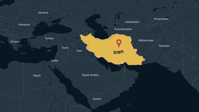
Iran Middle East Map Locator Animation Dark Theme 4K
, Clean dark theme animated locator map highlighting Iran in the Middle East for geography, education, travel, documentary and geopolitical
00:15
HD
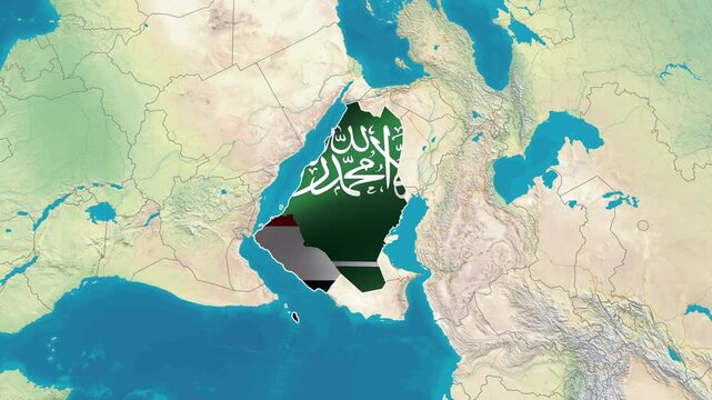
Saudi Arabia and Yemen border flags superimposed on a geographical map of the region. animated geopolitical map video clip 4K
00:13
HD
Digital global dashboard displays luminous map graphs panels. cyber defense, international risk, data surveillance, market analysis, geopolitical reports, system failures technology news presentations
00:20
HD
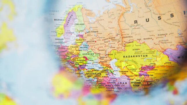
Close-up of a person using a magnifying glass to scan a colorful political map of europe, north africa, and the middle east, symbolizing research, travel planning, or geopolitical study
00:19
HD
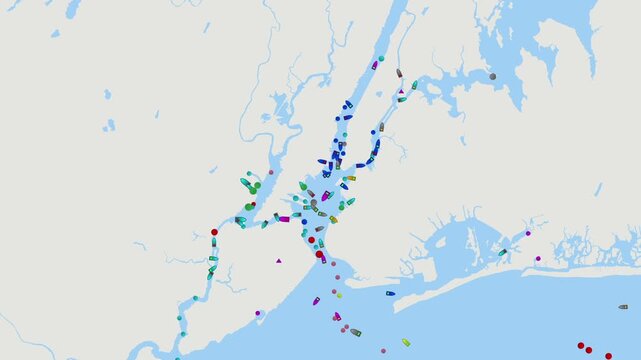
New York, New Jersey port. Detailed digital map of ship tracking data and maritime traffic in New York, New Jersey port, global trade routes, oil tanker logistics, energy distribution, geopolitical
00:14
HD
Geopolitical map animation showing iran and israel location on middle east
00:10
HD
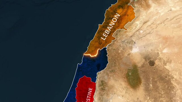
Satellite map displaying geopolitical borders between Lebanon Palestine and Israel
00:17
HD
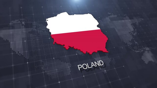
Poland map with national flag on digital world map background, geographic border, global political and international news concept
00:14
HD
3D topographic map animation of North Korea with national flag, pulsating territory highlight, and extruded borders over a dotted blue ocean. Geopolitical broadcast graphic for news presentations.
00:12
HD
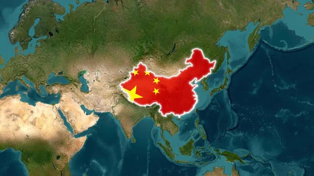
Animated map of china with national flag overlay and glowing border for geopolitical news and global business presentations
00:18
HD
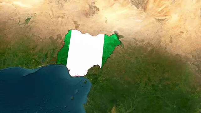
Nigeria Highlighted on World Satellite Map Animation with Country Border and Geographic Location
00:14
HD
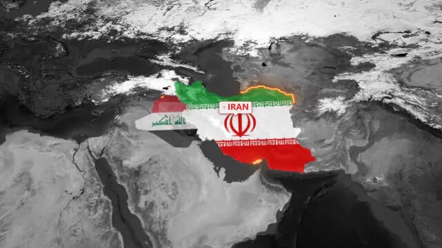
Animated map of iran and iraq border conflict and geopolitical relations with glowing country borders and national flags
00:16
HD
Businesswoman in suit holding tablet displaying glowing geopolitical risk heatmap across world map
00:10
HD
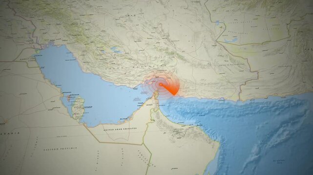
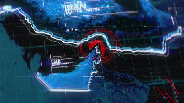
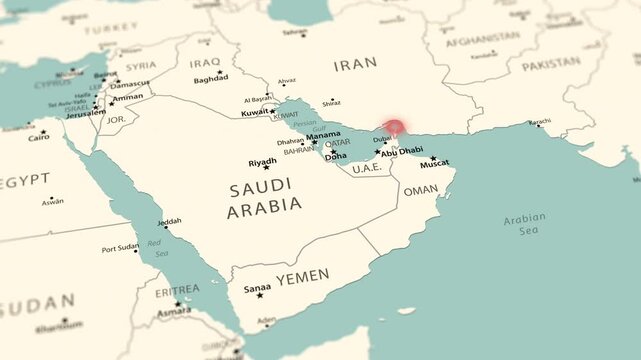
Middle East map animation featuring a red radar scan focusing on the Strait of Hormuz
00:18
HD
Dynamic digital map animation showing geopolitical territory changes in motion footage
00:15
HD
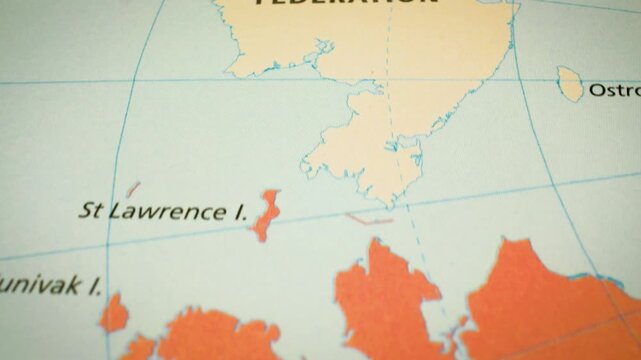
Alaska to Russia – Political map showing the Bering Strait and North Pacific region, gliding view
00:10
HD
Circumventing fuel extraction operations embargo, map on laptop and offshore platform workers while searching for alternate maritime routes, oil crisis and drilling rig colleagues.
00:20
HD
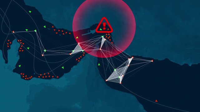
Digital marine traffic map highlighting a red warning sign over the Strait of Hormuz. Concept of global energy crisis, oil export ban, and maritime supply chain disruption due to geopolitical conflict
00:12
HD
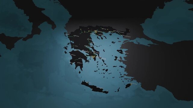
Greece 3D Digital Map Animation - Reveal of Roads, Cities & Boundaries, 4K Orbiting View Reveal
00:18
HD
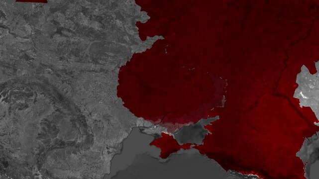
Satellite map showing geography of Russia and Ukraine highlighting regional geopolitical conflict zones clearly
00:30
HD
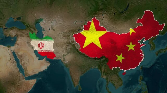
Geopolitical World Map Animation Highlighting North Korea and Iran Strategic Locations
00:18
HD
Saudi Arabia and Yemen border flags superimposed on a geographical map of the region. animated geopolitical map video clip 4K
00:13
HD
Futuristic 4K Global World Map with Real Time Statistics HUD Telemetry and Network Data
00:15
HD
Human hand  across world map, examining regions affected by armed conflicts in the Middle East, Europe, and Central Asia. Concept of geopolitical analysis, international security, global tensions
00:22
HD
Ship traffic Qatar middle east. Digital map of ship tracking data and maritime traffic in Qatar and Bahrain global trade routes, oil tanker logistics, energy distribution, geopolitical
00:15
HD
Global supply chain risk command dashboard animation with geopolitical exposure map and data charts
00:15
HD
Geographic map showing the distance measurement between Kaliningrad and Russia
00:19
HD
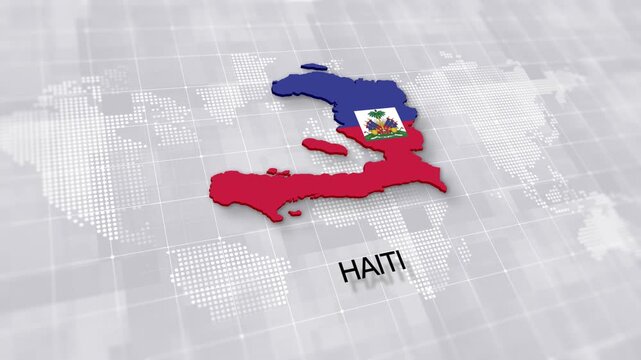
Haiti map with national flag on minimal digital world map background, global political, geographic border for international news concept with white background
00:14
HD
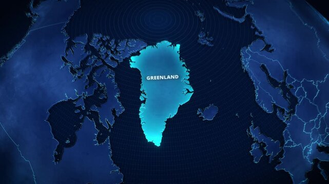
3D Digital Map of Greenland with Bright Cyan Glowing Highlight and Text, High-Tech Cartography Graphic for Presentation Backdrop or Global News Broadcast Opener
00:12
HD
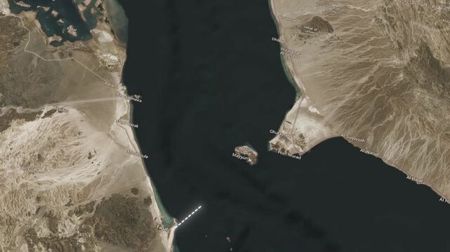
Satellite map view of Bab al Mandab strait with red warning icon animation for shipping conflict.
00:15
HD
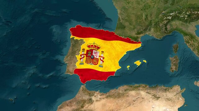
Spain Highlighted on World Satellite Map Animation with Country Border and Geographic Location
00:13
HD
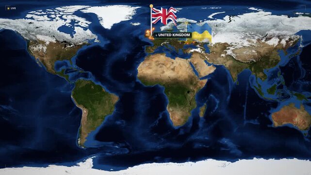
Global geopolitical map with usa, uk, and ukraine flags: international relations and news broadcast motion
00:16
HD
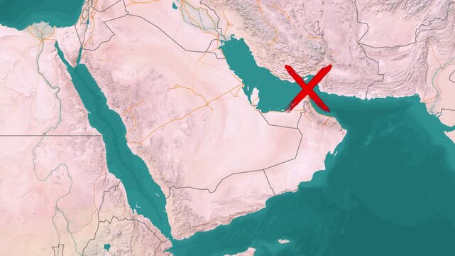
The Strait of Hormuz ship blockade, modern topographic relief map visualization
00:13
HD
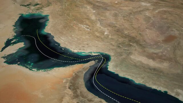
Strait of Hormuz Oil Shipping Route Animation on World Satellite Map
00:14
HD
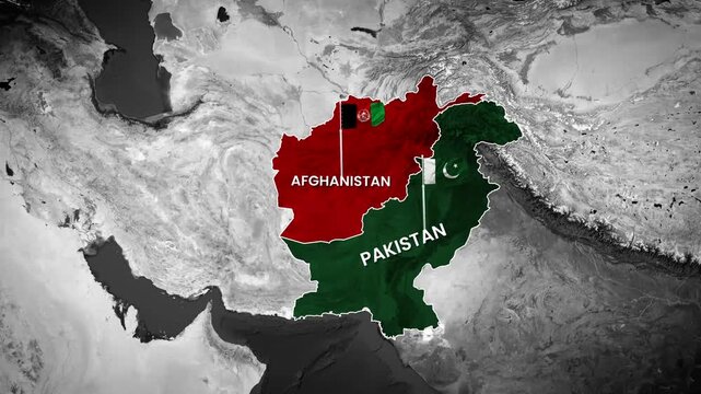
Afghanistan and Pakistan border map animation for geopolitical news footage
00:13
HD
Detailed map animation showing geopolitical conflict between Saudi Arabia and Yemen
00:20
HD
Strait of Hormuz, strategic neon 3D map of the persian gulf with Iran highlighted.
00:06
HD
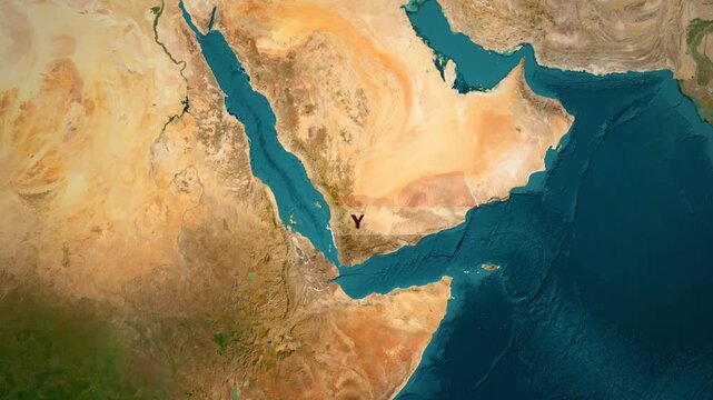
Arabian Sea Red Sea and Gulf of Aden Map Animation
00:13
HD
Yemen map glowing with intense heat and light motion video footage
00:16
HD
Smooth cinematic zoom across a vintage political map featuring Europe, the Mediterranean region and the Middle East with detailed borders, capitals, cities and antique atlas styling.
00:20
HD
Iraq map location highlighted in red on earth globe satellite animation motion graphics showing middle eastern geography with text label in high quality stock video footage
00:14
HD
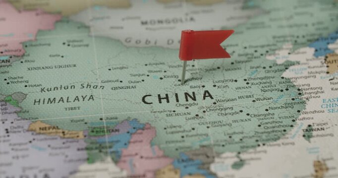
Person's hand marking a location on a map of China with a red flag pin, symbolizing travel planning, a destination, or a significant point of interest for tourism or business in Asia
00:08
HD
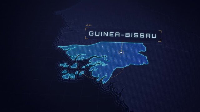
Digital Map Interface Highlighting the Country of Guinea-Bissau in West Africa.
00:12
HD
North Carolina Map Animation in 4K with Highlighted State Borders, Seamless Loop Background and Geographic Motion Graphics
00:13
HD
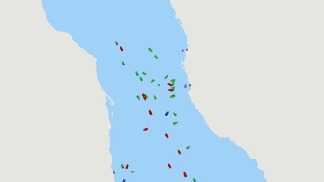
Ship traffic Jedda, Saudi Arabia. Digital map of ship tracking data and maritime traffic in Jedda Saudi Arabia global trade routes, oil tanker logistics, energy distribution, geopolitical
00:14
HD
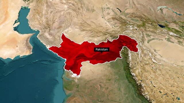
4K Pakistan Map Animation – South Asia Geography and Travel Concept
00:16
HD
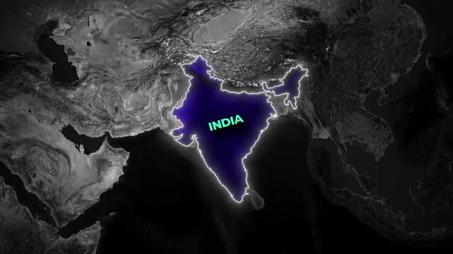
Dark geographical map animation highlighting the nation of India with a glowing blue interior
00:18
HD
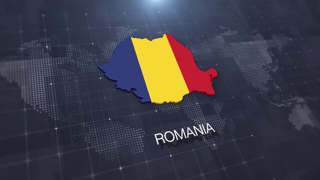
Romania map with national flag on digital world map background, geographic border, global political and international news concept
00:14
HD
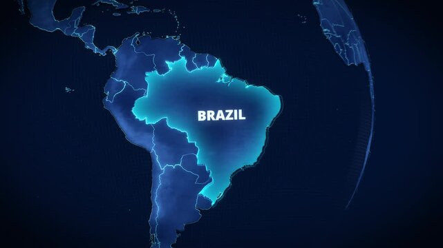
3D digital map of South America highlighting Brazil with glowing borders and text, dark blue high-tech geopolitical graphic for broadcast news or horizontal presentation backgrounds.
00:12
HD
Strait of Hormuz Strategic Location Highlighted on Satellite Map with Radar Overlay
00:16
HD
Nepal administrative zones map animation with India, Tibet, and Bhutan regional reveal
00:25
HD
Satellite Zoom into Budaun India from Space Orbit
00:20
HD
Cinematic 3D Geography Map of France with Dynamic Camera Movement and Zoom, 4K
00:15
HD
Stylized globe with bright lens flare and concentric rings overlaid world map background animation
00:20
HD
Digital map points scan global interface. cybersecurity operations, threat intelligence, defense monitoring, geopolitical analysis, surveillance, risk assessment, emergency response strategic planning
00:20
HD
Detailed Map of Southeast Asian Countries, India and China with Political Borders, Geography, Regional Atlas, Educational Cartography Illustration Design
00:10
HD
Breaking news themed visual focusing on Strait of Hormuz shipping routes with zoomed text overlay, representing geopolitical tension, global trade disruption and maritime stability concerns.
00:18
HD
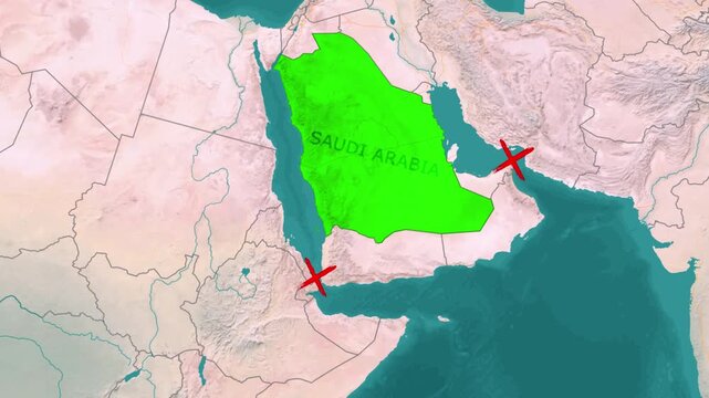
Geopolitical crisis map animation highlighting Saudi Arabia with Red Sea and Persian Gulf blockade markers
00:13
HD
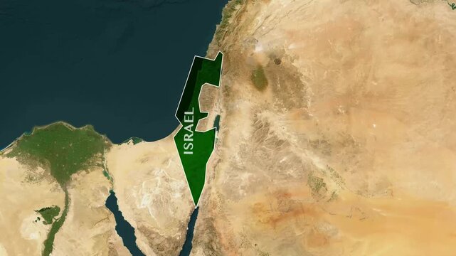
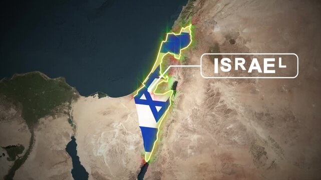
Israel Map Animation with National Flag and Geographic Border Highlight. 4K
00:15
HD
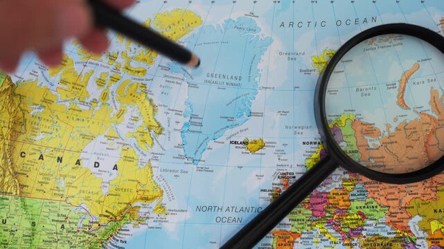
Hand using pen  to examine Greenland on world map, illustrating US geopolitical interests, Arctic security, strategic resources, military positioning, international relations, global power competition
00:14
HD
Gliding view over map showing the distance from Kharkiv, Ukraine to Belgorod, Russia
00:16
HD
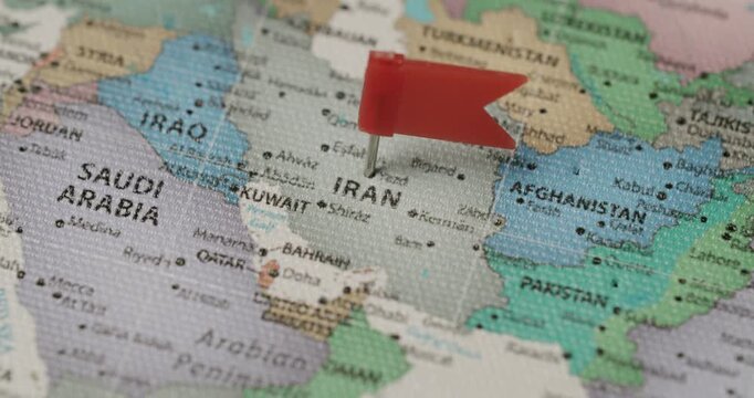
Human hand placing a red flag pin on the country of Iran on a political world map, indicating a travel destination, a point of interest, or a geopolitical situation in the Middle East region
00:08
HD
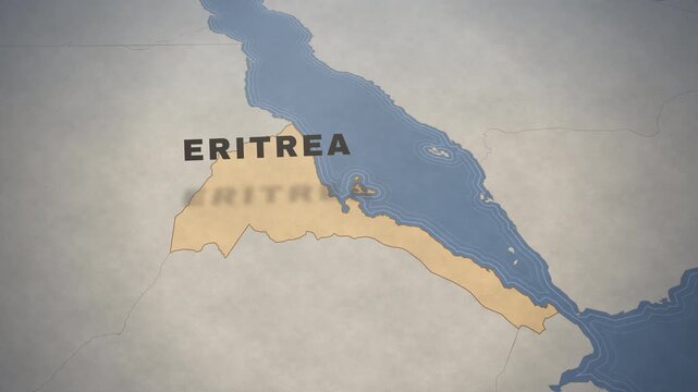
Vintage map animation highlighting the country of Eritrea in East Africa for travel and geography.
00:12
HD
Futuristic three dimensional glowing hexagonal globe rotating digital earth network
00:15
HD
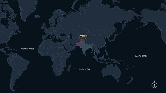
Camera descends from Eurasia to the Himalayan border zone of South Asia
00:22
HD
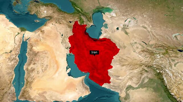
Iran Map Animation with Flag and Border – Middle East Geography Motion Graphic
00:15
HD
Animated map of North Macedonia expands from a central point in a dynamic motion graphics sequence.
00:08
HD
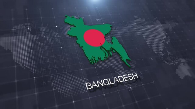
Bangladesh map with national flag on digital world map background, geographic border, global political and international news concept
00:14
HD
Earth globe zooming in to Greenland with a glowing red highlight and text label, ideal for horizontal documentary graphics or geographic presentations.
00:12
HD
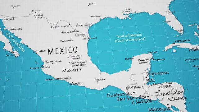
Smooth camera flyover across Central America and the Caribbean region on a detailed political world map.
00:18
HD
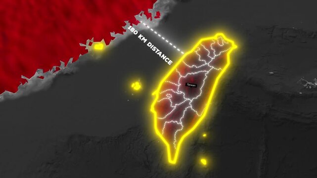
China and Taiwan Map Animation with 180km Distance Measurement, Geopolitical 4K Motion Graphic
00:25
HD
Earth Zoom In to As Sulaymaniyah Iraq Map Pin Animation
00:20
HD
Yemen Geographic Map Animation in 3D Showing Full Country Outline and Borders in 4K
00:14
HD
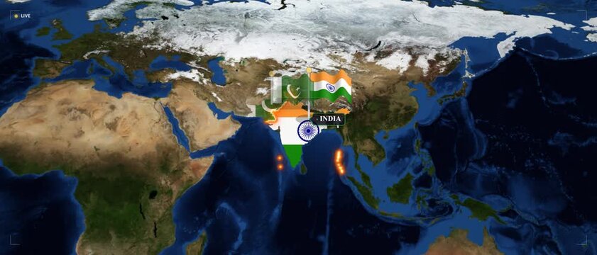
India and pakistan geopolitical map animation with national flags and glowing borders for news and international relations analysis
00:16
HD
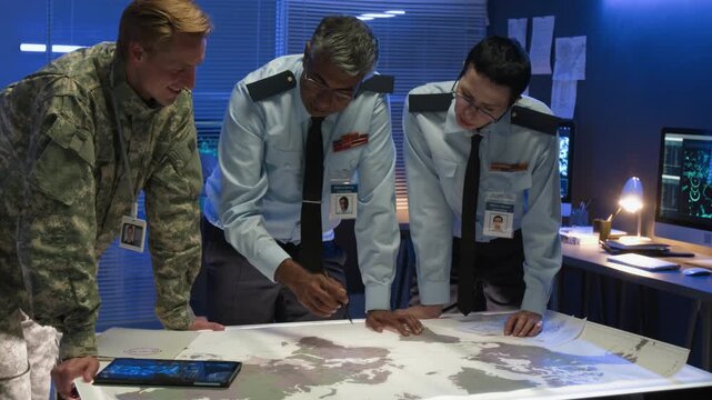
Diverse military officers including female colleague in uniform leaning over world map pointing and discussing strategy, ideal for defense planning and geopolitical content
00:09
HD
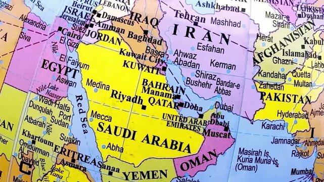
Detailed Political Map of Middle East, Asia and Africa with Countries, Borders, Geography, Regional Atlas, Educational Cartography Illustration Design
00:08
HD
World map showing geopolitical alliance animation with shifting country flag overlays
00:13
HD
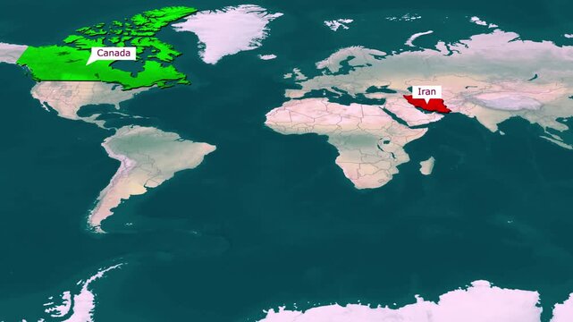
Global Map Animation Highlighting Canada in North America and Iran in Middle East
00:18
HD
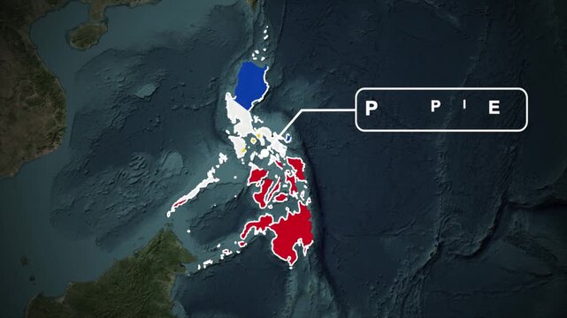
Philippines Map Animation with National Flag and Geographic Territory Highlight.4K
00:15
HD
Male hand pointing at China on world map, illustrating rise of multipolar world, China's growing global influence, shifting geopolitical power, international competition, changing global alliances
00:13
HD
Global Crisis: World Map Showing Fires, Conflict, and Destruction
00:07
HD
Luminous nodes and pulsating lines connecting factories and hubs with moving packages on a dark global map concept of supply chain and logistics network
00:05
HD
Vintage style map highlighting the geography and borders of Iran in the Middle East.
00:12
HD
Strait of Hormuz Narrowest Point Between Iran and Oman Geopolitical Map Animation
00:16
HD
Ship traffic Singapore. Digital map of ship tracking data and maritime traffic in Singapore global trade routes, oil tanker logistics, energy distribution, geopolitical
00:14
HD
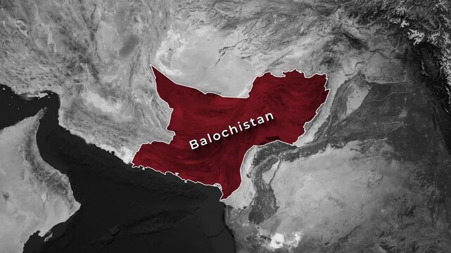
Red-highlighted territory of Balochistan shown on an animated grayscale geography map
00:12
HD
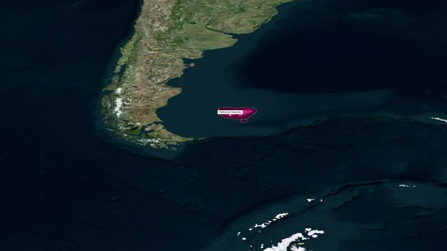
Animated satellite map zoom of the Falkland Islands with pink highlight
00:15
HD
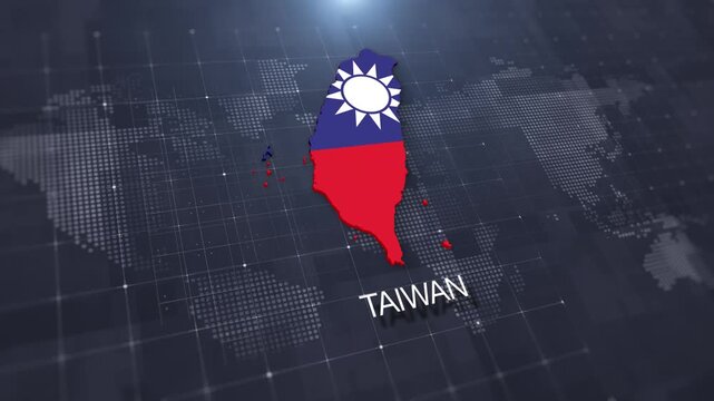
Taiwan map with national flag on digital world map background, geographic border, global political and international news concept
00:14
HD
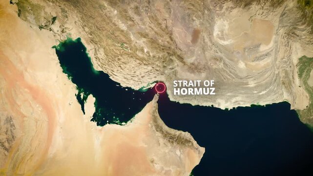
3D Earth globe zooming into the Strait of Hormuz on a satellite map with a red pulsating highlight and text label, ideal for geopolitical news broadcasts and global trade documentaries.
00:12
HD
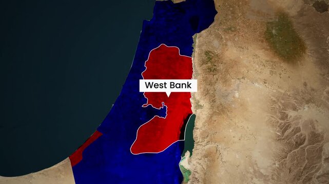
West bank digital map animation footage showing regional geopolitical boundaries
00:15
HD
Hormuz Channel Glowing Line Map Animation on World Map, Maritime Routes Highlighting Arabian Gulf Region, Strategic Shipping Lanes, Global Trade Visualization and Geopolitical Navigation Concept
00:05
HD
Earth Zoom In to Prespa National Park Albania Animation
00:26
HD
Smooth flyby of the Middle East on a detailed political map of the world. The Strait of Hormuz is a global oil and energy supply route in the Persian Gulf.
00:22
HD
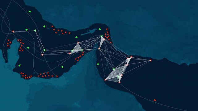
Digital map showing ship tracking data and maritime traffic networks in the Strait of Hormuz. Conceptual illustration of global trade routes, oil shipping logistics, and geopolitical security.
00:12
HD
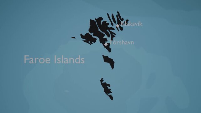
Faroe Islands 3D Digital Map Animation - Reveal of Roads, Cities & Boundaries, 4K Zoom In Reveal
00:13
HD
South America digital network map of Latam showing strategic military surveillance connections, cyber warfare infrastructure and geopolitical espionage operations across global territories. Animation
00:05
HD
Animated map video zooms in on the Persian Gulf to highlight the Strait of Hormuz. It is a perfect visual for explaining global oil shipping routes, regional geography, and geopolitical tensions.
00:10
HD
Strait of Hormuz blocked shipping route and Persian Gulf geopolitical tension animated map video
00:13
HD
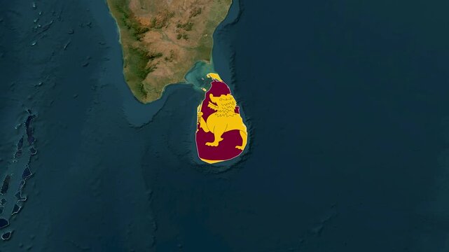
Sri Lanka Highlighted on World Satellite Map Animation with Country Border and Geographic Location
00:14
HD
Tactical map overview of the strait of malacca with digital interface elements
00:15
HD