Prodat
Cenová nabídka
Odkaz k nastavení vašeho hesla byl poslán na adresu
Do budoucna budete k přístupu ke svým nákupům potřebovat heslo.
Vše
Obrázky
Videa
Zvuk
Předlohy
3D
Zdarma
Premium
Najít podobné:
Série:
Model:
Dokument:
Moje knihovny
Hledat podobné.
Přetáhněte obrázek sem
nebo
ho vyhledejte
Nahrávání obrázku...
Vytvářejte bez omezení – neomezené stahování a výkonné úpravy s využitím AI
Začít bezplatnou zkušební verzi
Získejte 3 videa nebo 25 obrázků v rámci bezplatné zkušební verze.
Začít bezplatnou zkušební verzi
Skrýt panel
Zobrazit panel
Byly přidány nové filtry
Uspořádat podle
6 587 výsledků pro
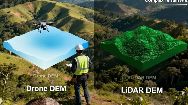
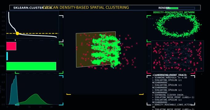
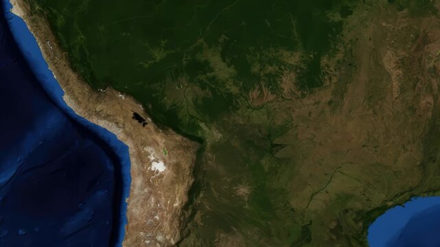
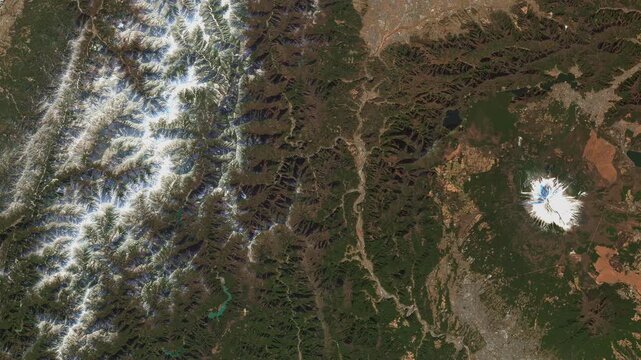
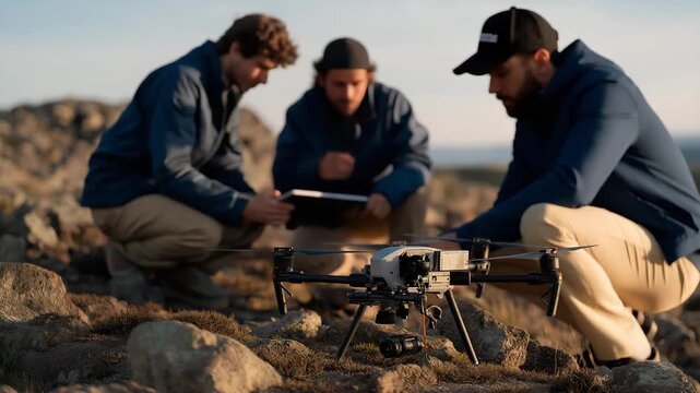
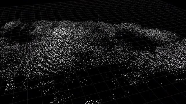
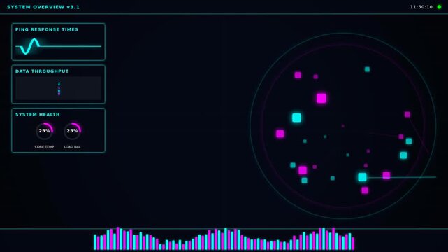
spatial data
v kategorii videa
00:08
4K
HD
00:05
4K
HD
00:08
4K
HD
00:05
4K
HD
00:10
4K
HD
00:18
4K
HD
00:10
4K
HD
00:31
4K
HD
00:05
4K
HD
00:08
4K
HD
00:10
4K
HD
00:15
4K
HD
00:11
4K
HD
00:05
4K
HD
00:06
4K
HD
01:00
4K
HD
00:05
4K
HD
00:17
4K
HD
00:12
4K
HD
00:12
4K
HD
00:08
4K
HD
00:08
4K
HD
00:20
4K
HD
00:10
4K
HD
00:15
4K
HD
00:20
4K
HD
00:10
4K
HD
00:12
4K
HD
00:16
4K
HD
00:10
4K
HD
00:10
4K
HD
00:20
4K
HD
00:12
4K
HD
00:07
4K
HD
00:06
4K
HD
00:52
4K
HD
00:05
4K
HD
00:10
4K
HD
00:10
4K
HD
00:09
4K
HD
00:08
4K
HD
00:10
4K
HD
00:05
4K
HD
00:05
4K
HD
00:12
4K
HD
00:06
4K
HD
00:05
4K
HD
00:35
4K
HD
00:32
4K
HD
00:08
4K
HD
00:10
4K
HD
00:15
4K
HD
00:14
4K
HD
00:06
4K
HD
00:08
4K
HD
00:06
4K
HD
00:08
4K
HD
00:08
4K
HD
00:10
4K
HD
00:10
4K
HD
00:08
4K
HD
00:06
4K
HD
00:20
4K
HD
00:10
4K
HD
00:12
4K
HD
00:05
4K
HD
00:12
4K
HD
00:18
4K
HD
00:14
4K
HD
00:10
4K
HD
00:10
4K
HD
00:10
4K
HD
00:15
4K
HD
00:16
4K
HD
00:12
4K
HD
00:08
4K
HD
00:06
4K
HD
00:08
4K
HD
00:08
4K
HD
00:30
4K
HD
00:08
4K
HD
00:10
4K
HD
00:20
4K
HD
00:06
4K
HD
00:05
4K
HD
00:10
4K
HD
00:14
4K
HD
00:18
4K
HD
00:10
4K
HD
00:10
4K
HD
00:12
4K
HD
00:15
4K
HD
00:10
4K
HD
00:10
4K
HD
00:10
4K
HD
00:10
4K
HD
00:09
4K
HD
00:05
4K
HD
00:09
4K
HD
00:10
4K
HD
OK
OK
OK
Zvolte svoji oblast
Při změně oblasti se může změnit jazyk webových stránek Adobe Stock a tamní propagační obsah.
Severní Amerika
Canada - English
Canada - Français
El Salvador
México
República Dominicana
United States
Jižní Amerika
Argentina
Bahamas
Barbados
Bolivia
Brasil
Chile
Colombia
Costa Rica
Ecuador
Guatemala
Honduras
Jamaica
Nicaragua - English
Panamá
Paraguay
Perú
Trinidad and Tobago
Uruguay
Venezuela
Evropa, Střední Východ a Afrika
Algeria - English
Armenia - English
Azerbaijan - English
Bahrain - English
Belgium - English
Belgique - Français
België - Nederlands
Česká republika
Croatia - English
Cyprus - English
Danmark
Georgia - English
Deutschland
Eesti
Egypt - English
España
France
Greece - English
Iceland - English
Ireland
Israel - English
Italia
Jordan - English
Казахстан
Kenya - English
Kuwait - English
Киргизия
Latvija
Lebanon - English
Lietuva
Luxembourg - Deutsch
Luxembourg - English
Luxembourg - Français
Mauritius - English
Moldova - English
Hungary - English
Malta - English
Morocco - English
Nederland
Nigeria
Norge
Oman - English
Österreich
Россия
Polska
Portugal
Qatar - English
România
Saudi Arabia - English
Schweiz
Slovenija
Slovensko
Suisse
Suomi
Sverige
Svizzera
Таджикистан
Turkey - English
Turkmenistan - English
UAE - English
Україна
United Kingdom
Узбекистан
България
Asie a Tichomoří
Australia
Indonesia - English
中國香港特別行政區
India
日本
한국
中華人民共和國澳門特別行政區
Malaysia - English
New Zealand
ไทย
Philippines
Singapore
Sri Lanka - English
台灣地區
Vietnam - English