Посилання, за допомогою якого можна встановити пароль, надіслано на цю адресу: Щоб отримати доступ до своїх покупок у майбутньому, вам буде потрібен пароль.
Отримайте 3 відео або 25 зображень у безкоштовній пробній версії
Додано нові фільтри
Сортувати за

Не вдалося знайти точних збігів для survector. Нижче наведено схожі результати.

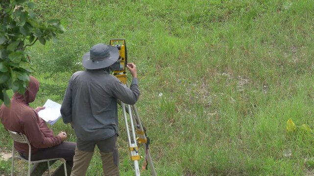
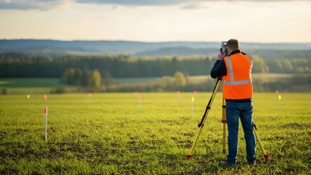
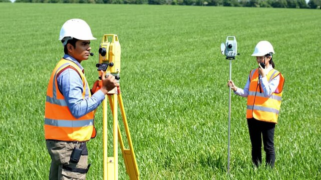
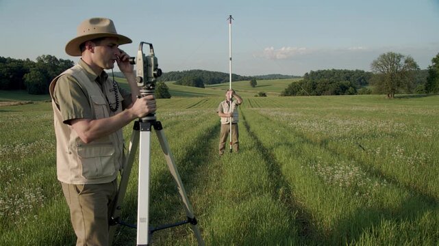
Two surveyors measure land using theodolite and rod in green field. Professional topographic work outdoors. Great for construction, engineering, or agriculture projects.
00:10
HD
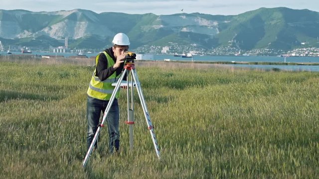
Male civil engineer operating leveling instrument with tripod to conduct a site survey for construction layout planning in tropical outdoor area.
00:14
HD
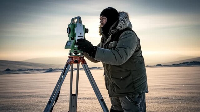
Surveyor Using Equipment on Frozen Landscape at Dawn in Winter Season with Cold Weather Conditions
00:06
HD
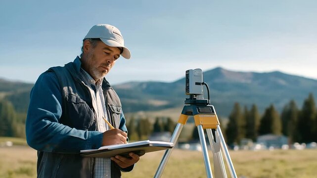
A surveyor sets markers at a future building site with stakes driven a laser level beaming a notebook logging data and a grassy field stretching beyond depicted in a precise
00:09
HD
Surveyors using total station theodolite tripod tool on grassy land, civil engineering construction team surveying ground terrain, outdoor site measurement photo.
00:12
HD
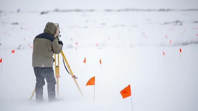
A male surveyor in winter gear using a total station on a tripod in a snowy field with orange marker flags
00:08
HD
A male surveyor in work clothes adjusts the equipment on the construction site. The concept of landscape design, geodesy
00:09
HD
Polar Researcher Adjusts Camera on Tripod in Snowy Arctic Landscape, Scientific Expedition, Data Collection
00:10
HD
explorer looks through dumpy level binocular and types
00:20
HD
Close up portrait of a man site engineer surveyor using a survey camera on a building construction site.
00:16
HD
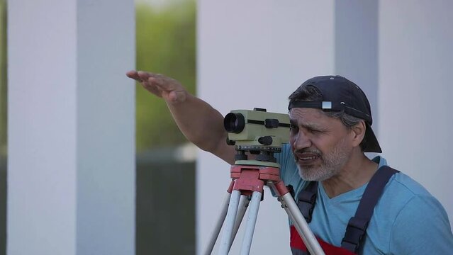
The man looks into the monocle and watches what is happening away from him
00:06
HD
A construction worker wearing a safety helmet and vest operates a surveying instrument, surveying land at sunset, representing precision and planning in civil engineering.
00:05
HD
Focused Female Land Surveyor Operating a Modern Total Station Theodolite in a Rural Field for Accurate Measurement and Mapping
00:08
HD
Engineers conducting a land survey uses a theodolite outdoors to measure land, illustrating surveying in civil engineering.
00:05
HD
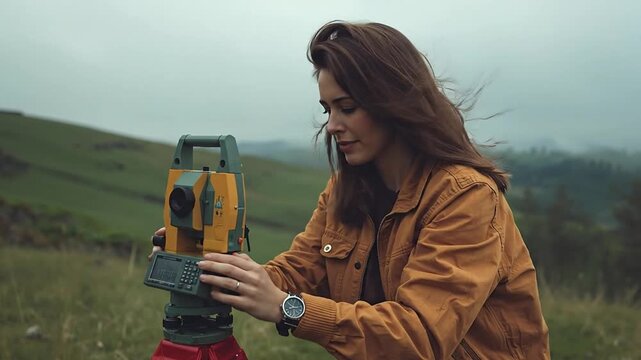
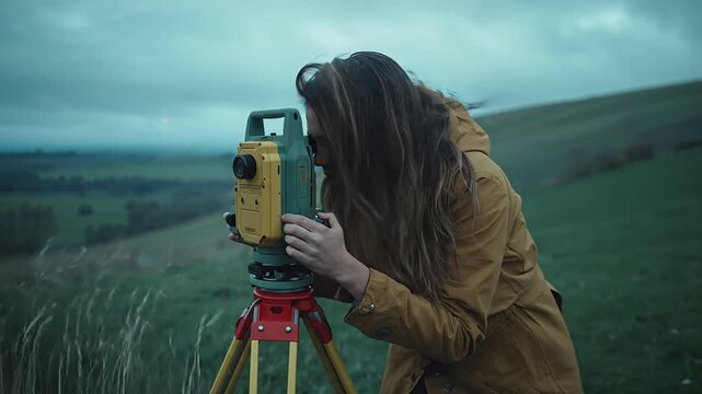
Focused Young Woman Surveyor Operating a Theodolite Instrument in a Rugged Hilly Outdoor Landscape Under a Dramatic Overcast Sky
00:08
HD
Surveyor using equipment in a barren landscape.
00:10
HD
A surveyor in a safety vest and helmet examines a vast landscape using surveying equipment.
00:10
HD
Medium shot of field technicians using groundbased laser scanners to measure sand dune volumes for reliable resource assessment
00:06
HD
Surveyor engineer using theodolite measuring on construction site
00:15
HD
Continue line animation of man holding digital camera
00:05
HD
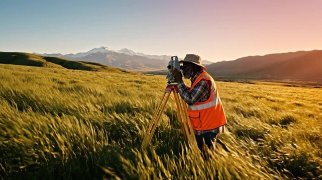
Senior African American surveyor uses theodolite in golden field against mountains at sunset. Professional engineer planning construction site in rural landscape.
00:08
HD
Photographer capturing golden sunset landscape with tripod and camera
00:08
HD
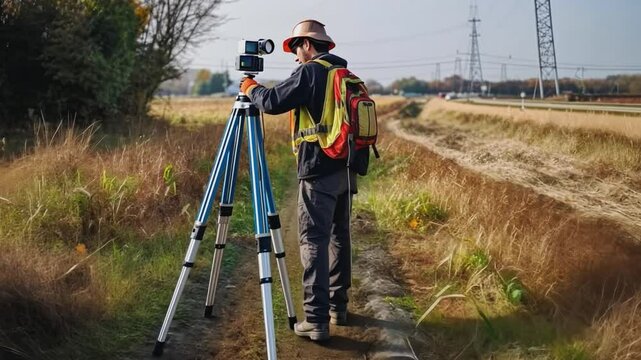
A lone surveyor equipped with a theodolite and a backpack stands in a rural field, capturing measurements.
00:10
HD
測量 イメージ
00:06
HD
Young African American Female Surveyor Conducting Land Assessment in Open Field at Sunset, Dressed in High-Visibility Safety Vest and Preparing Equipment
00:05
HD
Male land surveyor performing topographic site assessment for rural land development in a green field
00:10
HD
A male surveyor in work clothes adjusts the equipment on the construction site. The concept of landscape design, geodesy
00:19
HD
Surveyor Using Laser Scanner for Topographic Surveying on Construction Site, Geospatial Data Collection
00:10
HD
survey specialist looks through theodolite types and smiles
00:25
HD
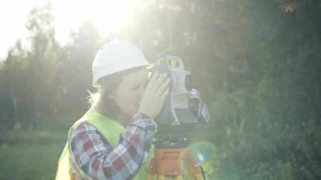
Woman wearing a white hat and a green vest is taking a picture with a camera. She is standing in a field with trees in the background
00:26
HD
Surveyor with equipment in agricultural field setting. Perfect for land development and agricultural technology documentation.
00:05
HD
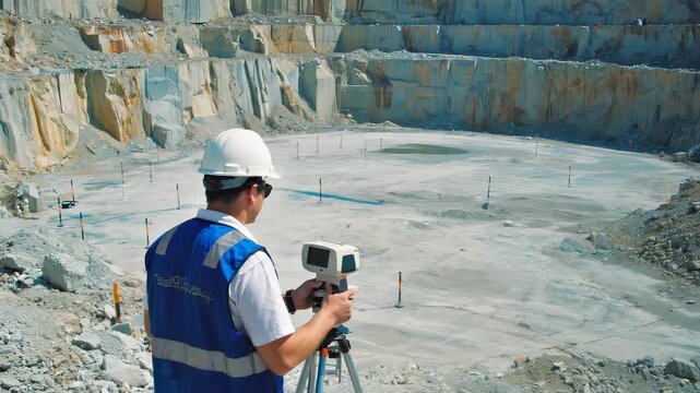
Surveyor is using newest geological equipment to analyze area. Surveyor is operating the geological theodolite equipment with moveable telescope. Surveyor measuring quarry using geological equipment
00:19
HD
Medium shot of a geophysicist operating a magnetometer device over rocky terrain pinpointing ironrich mineral deposits for mining exploration.
00:06
HD
Worker in safety gear using land surveying equipment on a construction or geographical measurement site.
00:10
HD
Focused Female Land Surveyor Operating a Total Station for Precise Measurement in a Rural Landscape Under Overcast Skies
00:08
HD
Land surveyor using tripod theodolite at construction site, vector art
00:10
HD
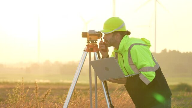
VDO 4K Engineers are using laptop computers to check the operation of natural energy systems such as wind turbines, electric power.
00:15
HD
Medium shot of a technician operating LIDAR equipment outdoors capturing detailed terrain data to identify ore deposit boundaries accurately.
00:05
HD
Surveyor engineer measuring land on construction site
00:20
HD
Engineers use tacheometer or theodolite for survey line columns for the construction of buildings
00:19
HD
Two land surveyors in safety gear measure a green field using a total station and prism pole. Professional teamwork in civil engineering and construction planning.
00:08
HD
Professional Surveyor Worker Uses Theodolite Equipment To Measure Quarry Area. Industrial Surveyor Theodolite Equipment Operated By Geology Specialist. Modern Mining Surveyor Theodolite Equipment
00:14
HD
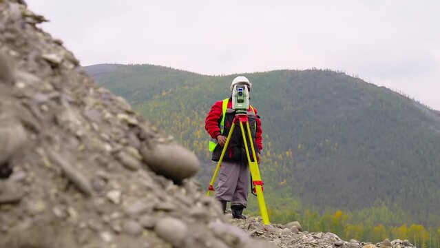
A surveyor in safety gear stands on a hilltop, using a theodolite to measure the terrain at a remote construction site.
00:10
HD
Surveyor engineer with equipment theodolite or total positioning station on the construction site.
00:14
HD
The worker measures the distance with a theodolite.
00:05
HD
Male Land Surveyor Conducting Topographic Site Assessment for Rural Property Development
00:10
HD
A male surveyor in work clothes adjusts the equipment on the construction site. The concept of landscape design, geodesy
00:10
HD
Wide shot portrait of professional concentrated African American man in hard hat using theodolite and checking project documentation. Confident young engineer working outdoors on snowy winter day
00:16
HD
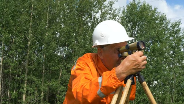
skilled surveyor in orange jumpsuit works with dumpy level
00:30
HD
A surveyor with equipment works on a sunny day. complex of geodetic works for engineering surveys. Concept of the geodesy of topography of surveying and cadastral work.
00:48
HD
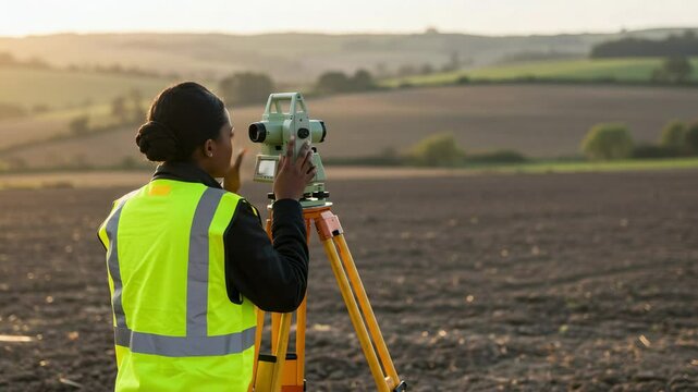
Focused Young Black Woman Surveyor in Safety Vest Using Surveying Equipment on Landscape During Golden Hour, Capturing Topographical Data in Rural Setting
00:05
HD
The guy peeps into a monocle, portrait, closeup
00:06
HD
Real estate appraiser examines interior dimensions of a living space combining manual observation with electronic tools for detailed property assessment.
00:06
HD
A man works with an optical level to level the landscape
00:17
HD
Female Land Surveyor Operating a Total Station on a Grassy Hill Under an Overcast Sky
00:08
HD
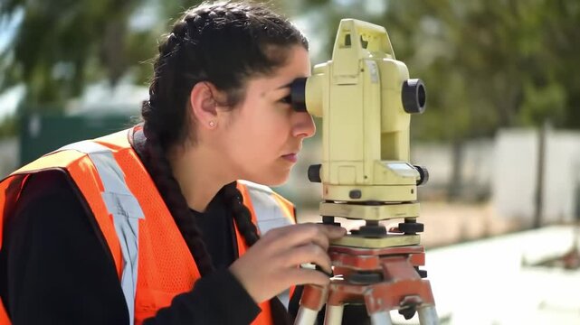
Young Hispanic Woman Surveyor Using a Total Station on a Construction Site in Bright Orange Safety Vest Under Clear Sky
00:08
HD
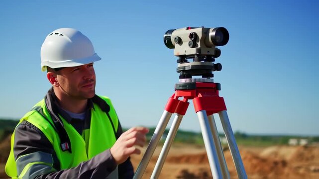
A surveyor in a white hard hat and high-vis vest operates a theodolite on a tripod at a construction site under a bright blue sky.  He carefully adjusts the device's settings
00:05
HD
A surveyor working with a theodolite on a construction site, wearing a hardhat and safety vest, focusing on precision and accuracy in land measurement
00:06
HD
Surveyor engineer using theodolite measuring on construction site
00:12
HD
Precise Surveyor at Work: An asian surveyor meticulously uses surveying equipment for land measurement, expertly utilizing technology to ensure accuracy and precision in his outdoor work.
00:05
HD
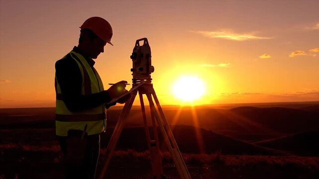
Silhouette of male surveyor working with theodolite against dramatic orange sunset sky. Concept of construction, engineering and geodesy work. Ideal for industrial banners.
00:08
HD
A European surveyor using a theodolite on a construction site, highlighting his profession in a cartoon style.
00:10
HD
Surveyor at work measuring the distance
00:11
HD
The worker measures the distance with a theodolite.
00:05
HD
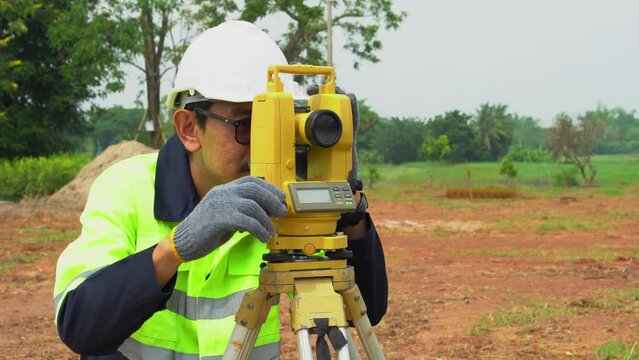
Professional civil engineer, female Asian surveyor in hard hat using theodolite total station at construction site, close up
00:28
HD
Professional Surveyor in Orange Vest Measuring Land on Sunny Day in Green Field with Landscape Background
00:08
HD
Surveyor engineer is measuring level on construction site. Geodesist ensure precise measurements before undertaking large construction projects. Concept of landscape design
00:07
HD
Surveyor in Safety Vest Conducting Field Measurements with Tools on Truck Tailgate
00:10
HD
concentrated surveyor looks through theodolite and writes
00:19
HD
A man is holding a surveying instrument in a field. The instrument is a total station, which is used to measure distances and angles. The man is wearing a yellow vest
00:08
HD
Surveyor adjusting hightech equipment for field measurements in open landscape
00:11
HD
Female Surveyor Using Total Station on an Open Field During Sunset with Natural Landscape Background, Showcasing Professionalism in Land Measurement
00:05
HD
Surveyor measuring tree canopies in rural farmland setting to integrate natural green corridors into agricultural land planning.
00:06
HD
A man works with an optical level to level the landscape
00:16
HD
Female Survey Using Theodolite for Land Measurement – Engineer with Hard Hat on Construction Site
00:05
HD
the process of using geodetic equipment to obtain accurate information and data when measuring the distance from one object to another, determining the angle of inclination of the surface.
00:16
HD
surveyor with leveler explores construction site
00:17
HD
A skilled professional uses surveying equipment to capture precise measurements in a scenic outdoor environment.
00:08
HD
Surveyor engineer using theodolite level at construction site
00:12
HD
Caucasian beautiful woman topographer in casque measuring angle with total station on roof of building. Female builder. Constructor doing topographic measures. Geodesy concept. Constructing work.
00:13
HD
Silhouette of surveyor using theodolite equipment against orange sunset sky. Concept of construction engineering and hard work in evening light.
00:08
HD
Industry worker wearing safety helmet operates crane on construction site
00:10
HD
A bright yellow theodolite stands on a tripod, positioned near the coastline with sweeping views of the ocean and distant hills.
00:10
HD
Female archeologist wearing a hat and backpack using a total station for surveying ancient temple ruins in a dense tropical jungle environment during sunset, exploring lost civilization
00:08
HD
Engineer on a construction site with a laser measuring device
00:24
HD
Young Male Surveyor in Winter Gear Working on Snowy Terrain with Measuring Equipment
00:08
HD
Surveyor engineer is measuring level on construction site. Geodesist ensure precise measurements before undertaking large construction projects. Concept of landscape design
00:14
HD
Construction Worker Using Theodolite for Surveying Outdoors, Wearing Hard Hat and Safety Vest, Showcasing Focus and Precision with Equipment
00:10
HD
researcher looks through level and writes in blue folder
00:23
HD
Man in a white hat and a green vest is holding a device and looking at it. He is wearing a hard hat and is standing in a field
00:10
HD
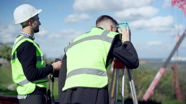
Confident architect looking away with theodolite as blurred engineer with binoculars standing at background. Panning shot of two Caucasian young men discussing project at construction site outdoors
00:06
HD
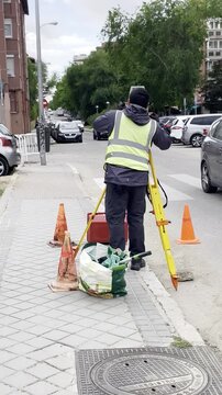
Topografía y topógrafo con cámara y trípode midiendo y tomando medidas en la calle con chaleco y conos en acera
00:07
HD
Surveyor engineer with equipment theodolite or total positioning station on the construction site.
00:07
HD
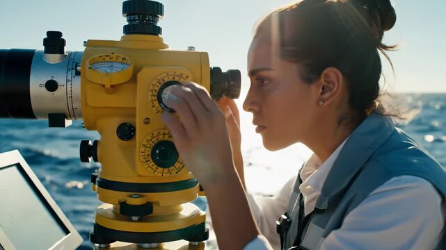
Focused Woman Scientist Actively Surveys Sparkling Ocean Waters with Precision Theodolite for Critical Marine Research
00:08
HD
Surveyor using theodolite at construction site with steel structures in progress
00:11
HD
屋外の測量現場に立つプロフェッショナルな女性技術者
00:05
HD
Surveyor at work: A surveyor meticulously examines the land, employing advanced tools and precision to ensure accurate measurements and mapping of a developing residential area.
00:10
HD
Engineers use tacheometer or theodolite for survey line columns for the construction of buildings
00:11
HD
Surveyor engineer using theodolite and tablet on construction site
00:14
HD
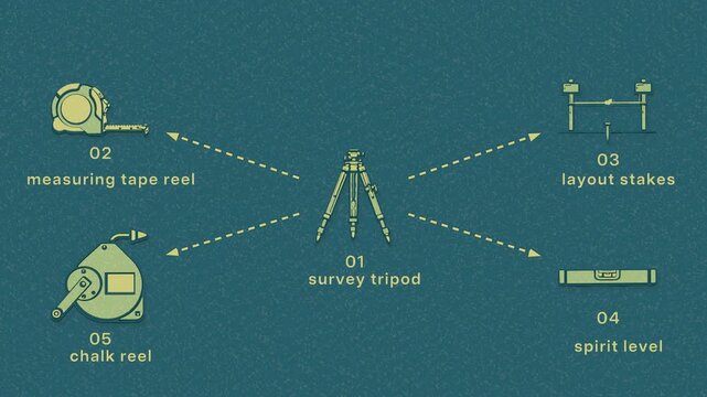
Site layout establishes control points, checks levels, and transfers the build footprint across the construction lot. Flat 3D style with a dry silkscreen texture; objects numbered and labelled in
00:08
HD