設定密碼的連結已經傳送至: 日後若要存取您的購買項目,您將需要使用密碼。
免費試用即可取得 3 部影片或 25 張影像
已新增篩選器
排序方式:

在影片中找到 9,427 個「spatial data」的結果

Animated white pin marker pointer typing delaware on black background, for location mapping, travel directions and, geographic presentation motion
00:10
HD
Futuristic radar scanner and targeting reticle overlay performing tracking and digital data visualization.
00:20
HD
Glowing blue holographic geometric planes assembling into a structured pyramid interface on a dark grid floor in a studio, symbolizing spatial computing workspace, AR UI, and 3D data display.
00:08
HD
Light streaks animation accelerates across deep spatial planes. High speed telecommunication data transmission guides light streaks animation. Fiber optic networks use streaks.
00:12
HD
California agriculture on open data satellite video
00:19
HD
a glowing bioinformatics interface displays digital tissue section data charts and circular spatial density diagrams on a dark screen representing complex medical research monitoring systems
00:06
HD
Last Mile Delivery Urban Map Route Optimization And Autonomous Fleet Dispatch Loop Animation
00:15
HD
Private Investigator Carefully Reviews Case Files On Computer
00:23
HD
A mesmerizing spatial transcriptomics visualization displays a growing network of colorful gene nodes and glowing connections within a deep digital nebula for scientific data analysis.
00:06
HD
Abstract connected cubes form a dynamic digital network representing distributed computing, automation, data integration, scalable systems, research, simulation and advanced enterprise technology.
00:20
HD
First-person view of hands interacting with futuristic spatial computing interface showing atomic models data graphs and virtual 3D grid in virtual reality space
00:30
HD
Blue abstract tunnel paths radiate from a dark terminal void. Intense spatial graphics elevate futuristic presentations effortlessly. Elegant blue light lines loop.
00:13
HD
3d motion graphic video of an abstract blue plexus network ring with dynamic non looping node connections and glowing cyber data elements for technology visualization
00:10
HD
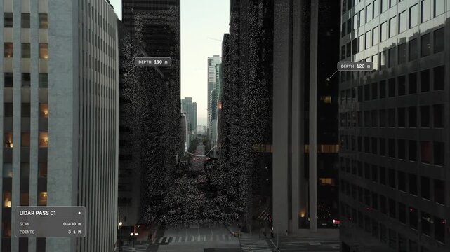
Elevated aerial push in over Los Angeles at dusk: deep street canyon between office high rises, LiDAR scan point cloud overlay with scan front and distance labels. Concept visualization
00:18
HD
Satellite Zoom into Budaun India from Space Orbit
00:20
HD
Aurora signature liquid glass frosted dashboard with bar chart donut gauge and KPI metrics widgets over aurora gradient, premium visionOS spatial UI background, seamless loop animation
00:10
HD
Location pin on digital city map with glowing roads, GPS navigation, geolocation technology, smart urban mapping, route planning, delivery tracking and travel destination
00:10
HD
Amber neural data hubs reorganize into a seamless spatial lattice
00:12
HD
Architectural floor plans showing bim modeling data and structural design analytics evolving through a digital interface display with glowing neon wireframe grids and geometric data flow
00:06
HD
Topography Contour Map Animation Moving Across Screen for Cartography and Navigation Background
00:10
HD
Advanced Cartographic Visualization and Geospatial Intelligence Platform with AI-Powered Spatial Analysis for Modern Enterprise Logistics and Global Navigation Systems Concept 4K video
00:10
HD
A high-tech point cloud terrain visualization featuring a digital grid. Ideal for scientific titles, high-tech background art, and cinematic data processing sequences.
00:20
HD
Futuristic 3D stock market candlestick chart tunnel with digital data labels and HUD interface elements, representing financial analysis, crypto trading, and spatial digital economy visualization.
00:08
HD
Futuristic Blue Holographic Globe Motion Graphic with Glowing Nodes and Orbital Data Network
00:10
HD
Glowing blue and green digital grid forming an intricate urban network in a dark studio, symbolizing smart city digital twin, IoT infrastructure, and urban planning technology.
00:06
HD
Lidar Point Cloud City Scan Rotating Sensor Sweep Seamless Loop
00:15
HD
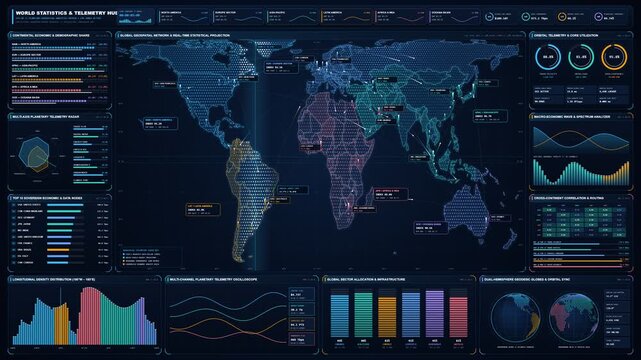
Futuristic 4K Global World Map with Real Time Statistics HUD Telemetry and Network Data
00:15
HD
Urban Planner Studies Zoning Map On Multiple Screens
00:23
HD
A spatial transcriptomics visualization dynamically illustrates complex genetic sequencing data, showcasing advanced cellular research with glowing digital elements on a dark screen.
00:06
HD
Pulsing Heatmap Grid Animation with Real-Time Data Visualization and Dynamic Intensity Mapping
00:15
HD
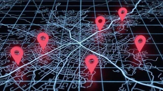
Animated map with location pins marking multiple points. Digital navigation and geolocation. Mapping technology, route planning and spatial data. Urban network visualization.
00:08
HD
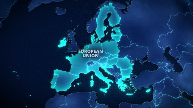
3D Map of the European Union with Glowing Cyan Member States on Dark Blue Background, Modern Geopolitical Infographic for Corporate Presentations and Broadcast News Graphics.
00:12
HD
Grid pattern animation displays 3D hexagonal matrix blocks on dark. Spatial perspective data coordinates guide grid pattern. Video suites use active grid pattern.
00:13
HD
Advanced ai video analytics processing monitor for real-time object tracking spatial analysis dashboards, for modern industrial automation, smart technology, data management systems
00:20
HD
Earth Zoom In to Jizan City in Saudi Arabia
00:20
HD
Animated district selected on map view drawn as a minimal vector city map in blue and azure on a light background. Smooth 4K seamless loop with blank markers and room for your own captions. Widescreen
00:07
HD
Global Satellite Communication Concept - This video depicts a digital representation of Earth surrounded by multiple glowing orbital paths, symbolizing satellite communication networks.
00:08
HD
Strait of Hormuz Nightwatch Navigation Visualization, Dark Sea Map Animation, Maritime Traffic Monitoring, Seamless Loop, Geospatial Data, Topographic Lines, Nighttime Shipping Route
00:12
HD
Depth map of a car engine bay showing color-coded distance data and structural geometry of internal components in a technical, abstract visualization.
00:17
HD
Blue futuristic tunnel with radial light streaks and deep spatial perspective
00:10
HD
Futuristic digital interface with spatial tracking elements and data visualization graphics on a dark blue background for technology projects
00:15
HD
Angled HUD display showing a glowing orange point cloud lattice scanning terrain topography and sensor telemetry data for drone surveying
00:20
HD
Seamless looping forward dolly shot traveling through an intricate three-dimensional constellation of glowing gold and deep turquoise data particles
00:10
HD
Devices interconnected by nodes on a flat map. 3D animation.
00:26
HD
Abstract 3D sphere graphic representing scientific data and spatial coordinates on dark background
00:08
HD
Abstract digital glow of countless shimmering blue particles forming a futuristic energetic network through a deep spatial dimension, representing data flow and artificial intelligence concepts
00:08
HD
pulsing location signals and geospatial telemetry 4k map data visualization animation
00:15
HD
Three Professionals Collaborate Using BIM Software
00:20
HD
Complex spatial transcriptomics visualization displays chromosomal rearrangements and genetic data mapped across a circular genome map during an animated sequence of scientific data analysis.
00:06
HD
Geographic Information Systems Word Cloud
00:11
HD
Drone surveys vast untouched land expanse, overlaying future urban planning and city design blueprints for development
00:08
HD
Oscillating green grid landscape with emerging wireframe cube signal
00:12
HD
Neon magenta smart city grid reflections cinematic futuristic atmosphere. virtual environments, digital experiences, spatial design, entertainment, technology branding immersive backgrounds.
00:20
HD
Digital interface of a network topology engine displaying wireless signal strength analysis across workstations in a spatial layout with data visualization and connectivity indicators.
00:05
HD
Earth Zoom In to Berat Albania Pin Location Animation
00:20
HD
Seamless 4K looping map animation: package tracking route progress bar. Clean flat vector city map with street grid, blocks and blank labels in green and emerald on a dark background, leaving copy spa
00:07
HD
Hud interface frames designed for spatial data visualization screens. Grid aligned panels created for navigation and coordinate mapping displays. Technical screen layouts.4k animation video
00:10
HD
Precision in Pixels
00:05
HD
Live scanning biometric mesh reconstruction display

00:14
HD
Bim modeling software interfaces displayed on a dark glowing monitor showing various architectural spatial data visualizations with bright neon charts and fluctuating metrics for building planning
00:06
HD
Neon network grid of glowing nodes and circuitry forming a virtual tunnel-like data matrix, with luminescent spheres, particles and lines in a futuristic cyberpunk visualization.
00:08
HD
Futuristic military crosshair interface tracking spatial data coordinates on a black background. Ideal for tactical targeting visuals and sci-fi film production overlays.
00:20
HD
Close Up of Circular Radar Display with Pulsating Lights and Geometric Patterns on Dark Background
00:08
HD
Compliance monitoring interface showing digital waves and spatial scan blocks flickering on a dark screen with vibrant neon green cyan and magenta color data elements
00:06
HD
Santa Rosa, California: 4K Spatial Growth Simulation of US Census Blocks Across Sonoma Wine Country Hub & North Bay Plain - Blue Choropleth Spatial Data Science & City Grid
00:10
HD
白い背景に細い青いデジタル線で継続的に生成される地形メッシュの3Dモデリング
00:05
HD
Autonomous Vehicle LiDAR Sensor 3D Point Cloud City Street Scanning and Object Detection Loop Animation 4K
00:15
HD
Young Woman Studies Crime Patterns On Laptop
00:17
HD
This professional spatial transcriptomics visualization shows genetic mutation data populating a dark digital interface to help researchers analyze complex cellular structures and molecular patterns.
00:06
HD
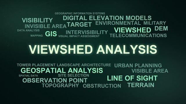
Viewshed Analysis Word Cloud
00:09
HD
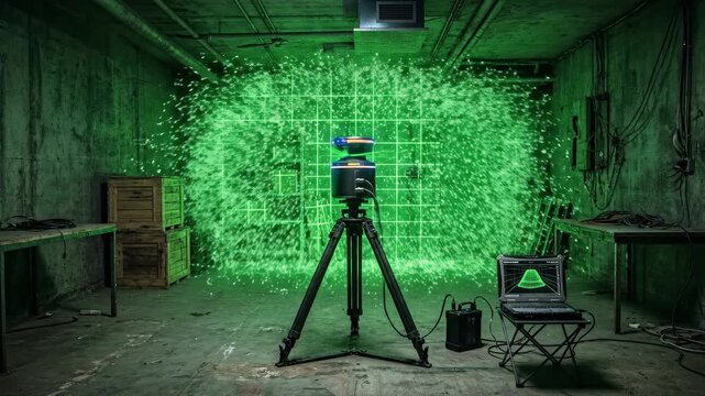
Cinematic 3D animation of a LiDAR laser scanner mapping a dark industrial room emitting a glowing green holographic grid and particle cloud
00:08
HD
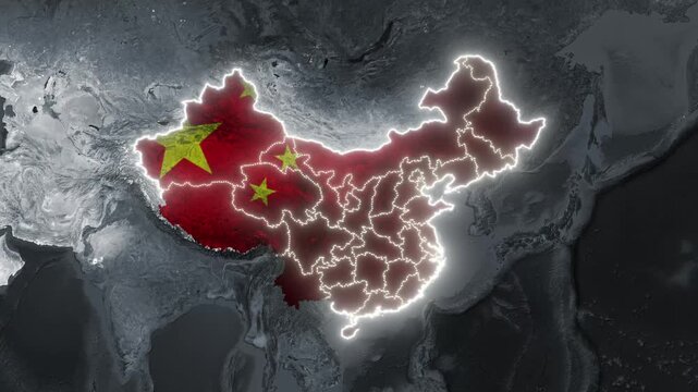
China and India map animation with national flags overlay glowing borders and Chinese provinces
00:20
HD
Glowing American state outlines backdrop, linked by luminous arcs network nodes. A geographic technology interstate communication, nationwide data connections, regional logistics and online services.
00:20
HD
Light streaks animation accelerates across deep spatial planes. High speed telecommunication data transmission guides light streaks animation. Fiber optic networks use streaks.
00:12
HD
Earth Zoom In to Great Barrier Reef Coral Cay in Australia
00:26
HD
Animated street network drawing map layers drawn as a minimal vector city map in green and emerald on a dark background. Smooth 4K seamless loop with blank markers and room for your own captions. Wide
00:07
HD
Smart city network connection with glowing location pin markers and data transfer lines
00:06
HD
Infinite light grid seamless loop animation with glowing perspective lines, luminous intersections and deep spatial depth, futuristic motion background for technology, data and presentations
00:10
HD
Light streaks animation accelerates across deep spatial planes. High speed telecommunication data transmission guides light streaks animation. Fiber optic networks use streaks.
00:12
HD
Futuristic digital dashboard for smart home automation exhibiting a robotic vacuum cleaner traversing a spatial map with neon holographic telemetry and real time data
00:06
HD
An undulating digital wireframe grid transforming into a 3D bar visualization with glowing network nodes, symbolizing AI predictive analytics, data mapping, topological modeling, and data science.
00:06
HD
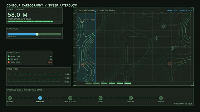
The screen displays a contour cartography interface showing survey data, gain values, and various parameters with interactive controls. It highlights graphical representation of terrain data
00:30
HD
Digital spatial information flow.Fly through abstract 3D rendering of a scientific technology data binary code network conveying connectivity, complexity and data flood of modern digital age
00:11
HD
Satellite Zoom Animation From World Map To Nagpur Maharashtra India
00:10
HD
A digital 3D map terrain highlighting intricate topography, with elevation contours and spatial data layers visible for advanced geographic analysis
00:10
HD
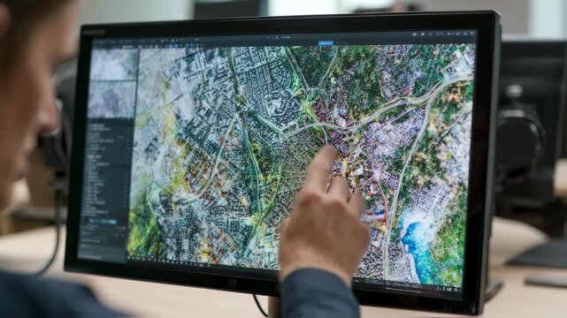
Overtheshoulder shot of a GIS professional adjusting spatial data layers on a touchscreen combining satellite inputs to produce accurate thematic maps for urban planning.
00:06
HD
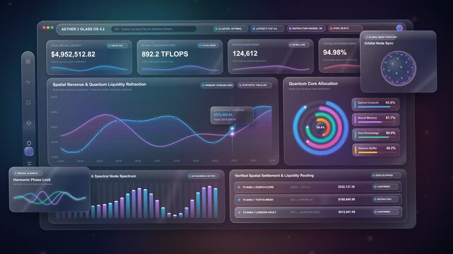
Futuristic spatial glassmorphism analytics dashboard with live data charts
00:15
HD
GIS Analysts Reviewing Property Maps Together
00:13
HD
A captivating spatial transcriptomics visualization dynamically renders on a dark screen, showcasing intricate genomic connections and biological data mapping with vibrant, evolving circular plots.
00:06
HD
Visual representation of data with colorful dots and contours in an abstract design showcasing spatial information and relationships in a modern art style
00:10
HD
blue world map
00:35
HD
Global data visualization showcasing key metrics and analytics in real-time from Earth-centric perspectives
00:10
HD
Circular interface telemetry, measurements, values, spatial points luminous center. Useful for simulations, diagnostics, quantum research, astronomy, monitoring, calculations, advanced data analysis.
00:20
HD
Greece 3D Digital Map Animation - Reveal of Roads, Cities & Boundaries, 4K Orbiting View Reveal
00:18
HD
Earth Zoom In to Islas Atlánticas de Galicia National Park Spain
00:26
HD
Seamless 4K looping map animation: pin pair with connector line. Clean flat vector city map with street grid, blocks and blank labels in teal and cyan on a light background, leaving copy space for you
00:07
HD
Faint world map outline initiating 3D overlay growing with icons and lines showing data over lounge
00:12
HD
Animation of a mine elevation. GIS product made after processing aerial data taken from a drone. It shows excavation site with steep rock walls
00:20
HD
Fort Wayne (IN) 4K Choropleth Census Tract & Block Expansion | Summit City & Three Rivers Confluence Blue Choropleth Spatial Data Science & City Grid
00:10
HD
Animation of geolocation and spatial positioning data
00:56
HD