設定密碼的連結已經傳送至: 日後若要存取您的購買項目,您將需要使用密碼。
已新增篩選器
排序方式:

全部 中的 130,500 個結果

Animation of computer language over river and skyscrapers against sky
00:12
HD
Animation of financial data processing over landscape with river

00:09
HD
渓流 ドローン撮影
00:16
HD
Activating blue origin marker sending red waypoint moving north on red route toward pin near river
00:15
HD
Satellite scanning activating overlay, cyan grid highlighting river with flowing code for mapping
00:10
HD
Blue pulse starting route drawing across grid, pulsing stops and guiding route on transparent bg
00:15
HD
River valley being shown with infographics floating, stacking on data update, showing percentages
00:12
HD
Green rings rotating and expanding, initiating drone descending, revealing open river and ice falls
00:12
HD
On drone approach translucent rotating globe refining over river, revealing icefall and global link
00:12
HD
Glowing circle appearing over river duplicating nodes drifting linking and showing network
00:12
HD
Cloud icons entering from left forming data, linking, growing, fading, showing river, panning left
00:12
HD
Camera panning rightward, river curving and shoreline revealing while hex overlay rising from glass
00:12
HD
Camera moving closer, animated tech network expanding and mapping data over waterfall and river
00:12
HD
Vertical video: Color bokeh discs appearing sliding mixing and fading revealing river bend and road
00:12
HD
Turquoise markers appearing after start, drifting and expanding across river, showing sensor data
00:12
HD
New alerts appearing at treeline, bubbles clustering, drifting and fading over river, showing stats
00:12
HD
Drone starting glide over river estuary, HUD grids appearing and anchoring above town, showing data
00:12
HD
River rushing over downstream drop, producing spray and scan-line overlay, supporting research
00:12
HD
Circular badge fading in and staying centered while drone moving over river, promoting eco branding
00:12
HD
Vertical video: Steady river scene with AI icons appearing, drifting along line, forming AR overlay
00:12
HD
やんばるの清流(奥間川)
01:00
HD
小川の流れ 清らかな清流の流れ
00:25
HD
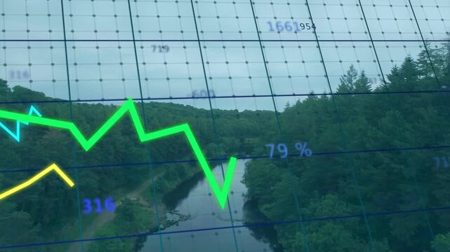
At 1 second fading data table appearing above forest river with charts animating for visualization
00:10
HD
赤目四十八滝渓谷
00:25
HD
渓流 ドローン撮影
00:16
HD
夕暮れの川の水面
00:19
HD
仁淀川水中撮影
00:20
HD
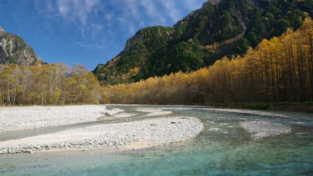
秋の上高地 梓川とカラマツの黄葉
00:20
HD
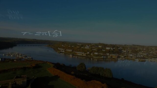
Aerial camera moving forward, showing river town while math symbols layering over water for science
00:11
HD
Centered river corridor receiving monitoring feed, showing animated grid, green line and labels
00:10
HD
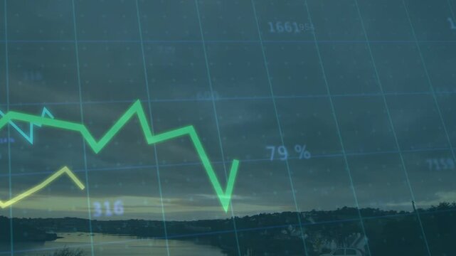
Sensor feed driving water grid in dusk bay monitoring, animating green line rising spiking falling
00:12
HD
Camera approaching river and snow ridge, environmental HUD appearing, rising then fading with grids
00:16
HD
Camera advancing over river channel, HUD graphs and pie charts showing river metrics for monitoring
00:10
HD
Vertical video: Gold circuit overlay tracing river via data feed pulsing nodes mapping flow for IT
00:08
HD
Winding river running through pasture, tech scan activating circuit HUD overlays mapping wetland
00:09
HD
Vertical video: Drone panning river, blue dots appearing and sweeping, showing digits for mapping
00:08
HD
Central node appearing, HUD overlay forming web and moving nodes over river, visualizing security
00:15
HD
POV camera moving downstream, HUD reticle and numeric grids scanning river for technology mapping
00:12
HD
Translucent hex icons shifting down after new hexes fading in, camera lifting showing river horizon
00:15
HD
The technology network is a river in winter banff, alberta
00:15
HD
Camera panning right over river and bank, glitch bands appearing obscuring then revealing valley
00:15
HD
Cyan magenta white code bands emerging from edges sweeping and layering across river showing flow
00:12
HD
Digital overlay activating from margin nodes lighting traces over mid winding river to map network
00:10
HD
Guide shifting, teal grid overlay panning, aligning reticle, centering plume, mapping cliffs
00:13
HD
Vertical video: Scrolling code starting, teal grid scanning and marker showing river and falls
00:08
HD
Data feed updating, digital geo overlay shifting code blocks and revealing river for mapping
00:08
HD
Animation of network of digital icons over landscape with tall trees and river
00:15
HD
Animation of waving bosnian flag with bar graphs over view of river by cityscape at night
00:12
HD
Overlay appearing, translucent blue HUD graphics sliding and rotating to visualize crop mapping
00:12
HD
Overlay rising above snowy river, purple node pulsing spawning avatars linking to show peer ties
00:12
HD
HUD appearing frame1, panels populating, sliding while readouts updating, tracking coastal river
00:12
HD
Translucent globe starting over river, rotating and pulsing while visualizing numeric data
00:12
HD
HUD overlay appearing over snowy river valley, sliding lines and flipping years showing timeline
00:12
HD
Analytics feed starting, HUD overlays emerging over river, animating pies and tracking metrics
00:10
HD