ระบบได้ส่งลิงก์สำหรับตั้งรหัสผ่านของคุณไปที่: ต่อไปนี้คุณจะต้องใช้รหัสผ่านในการเข้าถึงสินค้าที่คุณได้ซื้อ
รับภาพประกอบ 25 ภาพหรือวิดีโอ 3 รายการเมื่อทดลองใช้ฟรี
เพิ่มตัวกรองใหม่แล้ว
เรียงลำดับตาม

เราไม่พบผลลัพธ์ที่ตรงกันสำหรับ survector ผลลัพธ์ที่เกี่ยวข้องถูกแสดงไว้ด้านล่าง

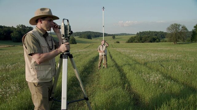
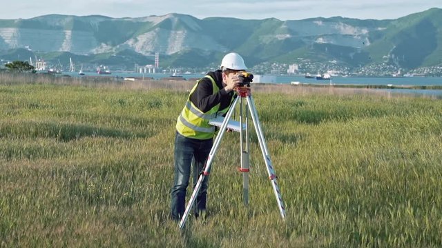
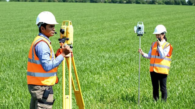
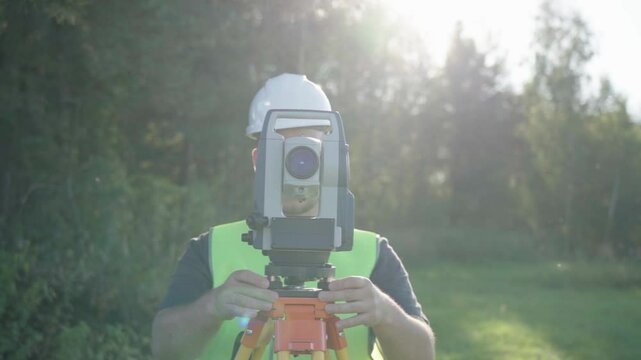
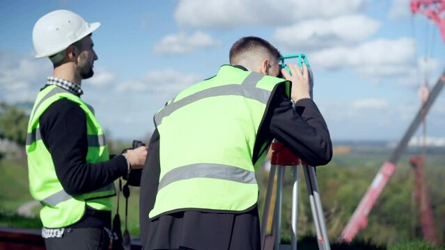
Two surveyors measure land using theodolite and rod in green field. Professional topographic work outdoors. Great for construction, engineering, or agriculture projects.
00:10
HD
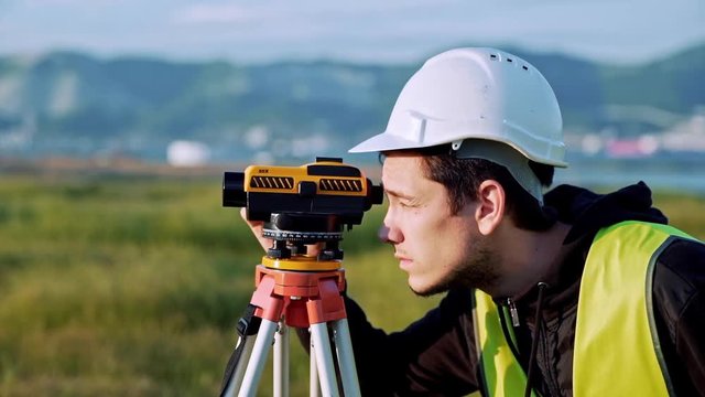
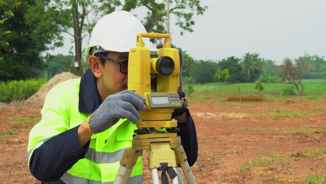
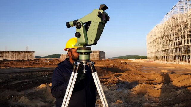
Male civil engineer operating leveling instrument with tripod to conduct a site survey for construction layout planning in tropical outdoor area.
00:14
HD
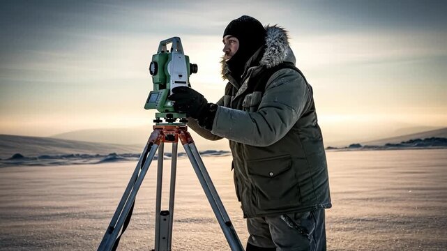
Surveyor Using Equipment on Frozen Landscape at Dawn in Winter Season with Cold Weather Conditions
00:06
HD
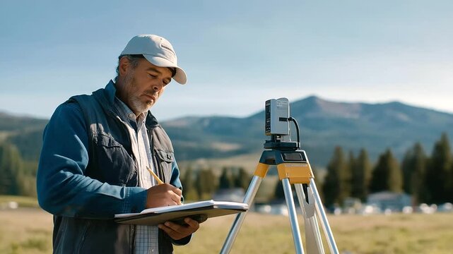
A surveyor sets markers at a future building site with stakes driven a laser level beaming a notebook logging data and a grassy field stretching beyond depicted in a precise
00:09
HD
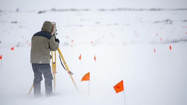
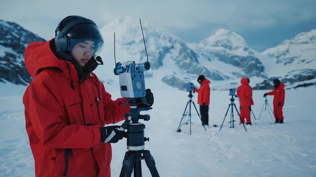
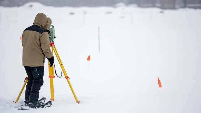
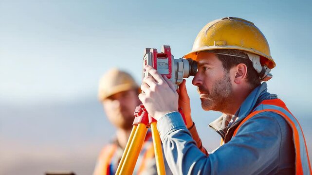
A male surveyor in winter gear using a total station on a tripod in a snowy field with orange marker flags
00:08
HD
A male surveyor in work clothes adjusts the equipment on the construction site. The concept of landscape design, geodesy
00:09
HD
Polar Researcher Adjusts Camera on Tripod in Snowy Arctic Landscape, Scientific Expedition, Data Collection
00:10
HD
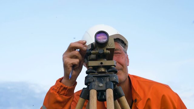
explorer looks through dumpy level binocular and types
00:20
HD
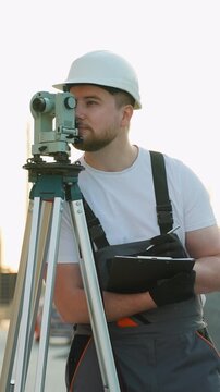
Close up portrait of a man site engineer surveyor using a survey camera on a building construction site.
00:16
HD
The man looks into the monocle and watches what is happening away from him
00:06
HD
A construction worker wearing a safety helmet and vest operates a surveying instrument, surveying land at sunset, representing precision and planning in civil engineering.
00:05
HD
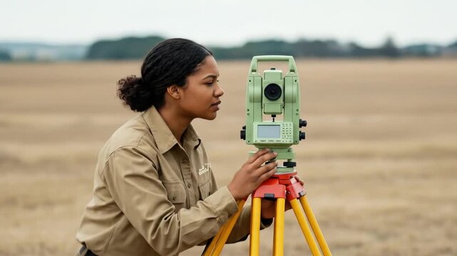
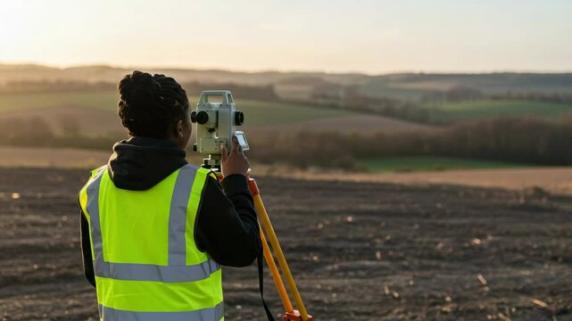
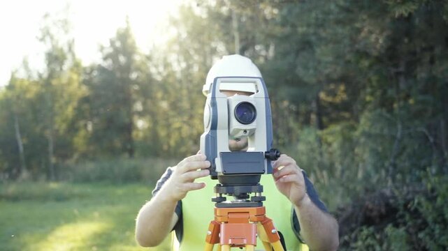
Focused Female Land Surveyor Operating a Modern Total Station Theodolite in a Rural Field for Accurate Measurement and Mapping
00:08
HD
Engineers conducting a land survey uses a theodolite outdoors to measure land, illustrating surveying in civil engineering.
00:05
HD
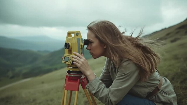
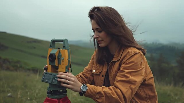
Focused Young Woman Surveyor Operating a Theodolite Instrument in a Rugged Hilly Outdoor Landscape Under a Dramatic Overcast Sky
00:08
HD
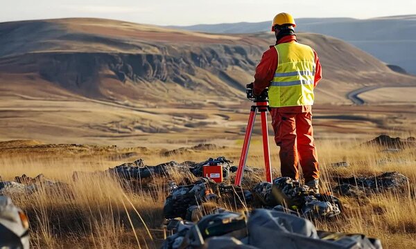
Surveyor using equipment in a barren landscape.
00:10
HD
A surveyor in a safety vest and helmet examines a vast landscape using surveying equipment.
00:10
HD
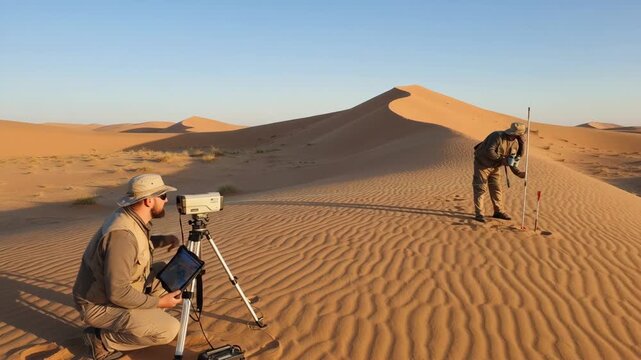
Medium shot of field technicians using groundbased laser scanners to measure sand dune volumes for reliable resource assessment
00:06
HD
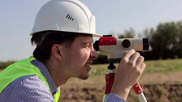
Surveyor engineer using theodolite measuring on construction site
00:15
HD
Continue line animation of man holding digital camera
00:05
HD
Photographer capturing golden sunset landscape with tripod and camera
00:08
HD
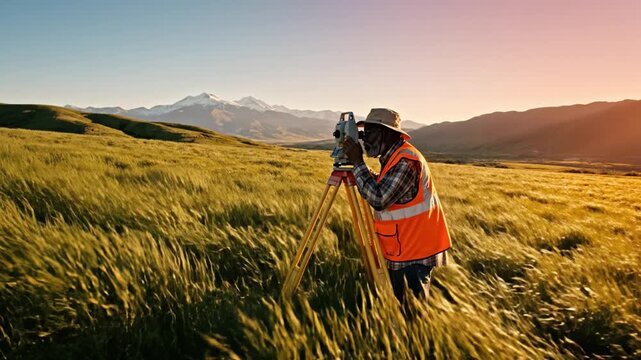
Senior African American surveyor uses theodolite in golden field against mountains at sunset. Professional engineer planning construction site in rural landscape.
00:08
HD
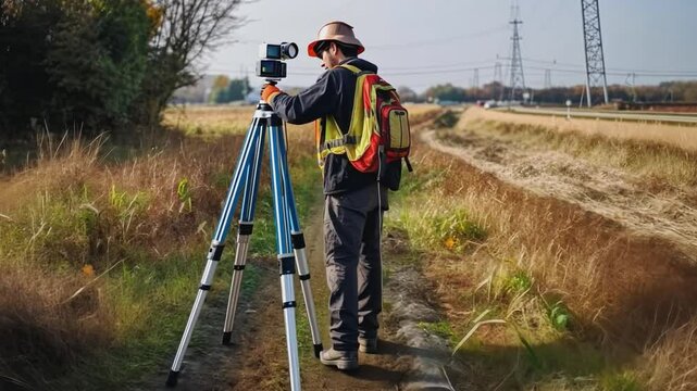
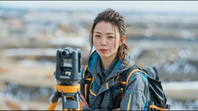
A lone surveyor equipped with a theodolite and a backpack stands in a rural field, capturing measurements.
00:10
HD
測量 イメージ
00:06
HD
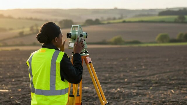
Young African American Female Surveyor Conducting Land Assessment in Open Field at Sunset, Dressed in High-Visibility Safety Vest and Preparing Equipment
00:05
HD
Male land surveyor performing topographic site assessment for rural land development in a green field
00:10
HD
A male surveyor in work clothes adjusts the equipment on the construction site. The concept of landscape design, geodesy
00:19
HD
Surveyor Using Laser Scanner for Topographic Surveying on Construction Site, Geospatial Data Collection
00:10
HD
survey specialist looks through theodolite types and smiles
00:25
HD
Woman wearing a white hat and a green vest is taking a picture with a camera. She is standing in a field with trees in the background
00:26
HD
Surveyor with equipment in agricultural field setting. Perfect for land development and agricultural technology documentation.
00:05
HD
Surveyor is using newest geological equipment to analyze area. Surveyor is operating the geological theodolite equipment with moveable telescope. Surveyor measuring quarry using geological equipment
00:19
HD
Medium shot of a geophysicist operating a magnetometer device over rocky terrain pinpointing ironrich mineral deposits for mining exploration.
00:06
HD
Worker in safety gear using land surveying equipment on a construction or geographical measurement site.
00:10
HD
Focused Female Land Surveyor Operating a Total Station for Precise Measurement in a Rural Landscape Under Overcast Skies
00:08
HD
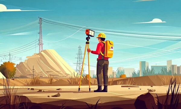
Land surveyor using tripod theodolite at construction site, vector art
00:10
HD
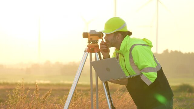
VDO 4K Engineers are using laptop computers to check the operation of natural energy systems such as wind turbines, electric power.
00:15
HD
Medium shot of a technician operating LIDAR equipment outdoors capturing detailed terrain data to identify ore deposit boundaries accurately.
00:05
HD
Surveyor engineer measuring land on construction site
00:20
HD
Engineers use tacheometer or theodolite for survey line columns for the construction of buildings
00:19
HD
Professional Surveyor Worker Uses Theodolite Equipment To Measure Quarry Area. Industrial Surveyor Theodolite Equipment Operated By Geology Specialist. Modern Mining Surveyor Theodolite Equipment
00:14
HD
Two land surveyors in safety gear measure a green field using a total station and prism pole. Professional teamwork in civil engineering and construction planning.
00:08
HD
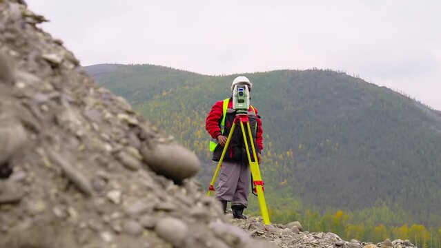
A surveyor in safety gear stands on a hilltop, using a theodolite to measure the terrain at a remote construction site.
00:10
HD
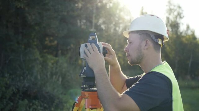
Surveyor engineer with equipment theodolite or total positioning station on the construction site.
00:14
HD
The worker measures the distance with a theodolite.
00:05
HD
Male Land Surveyor Conducting Topographic Site Assessment for Rural Property Development
00:10
HD
A male surveyor in work clothes adjusts the equipment on the construction site. The concept of landscape design, geodesy
00:10
HD
Wide shot portrait of professional concentrated African American man in hard hat using theodolite and checking project documentation. Confident young engineer working outdoors on snowy winter day
00:16
HD
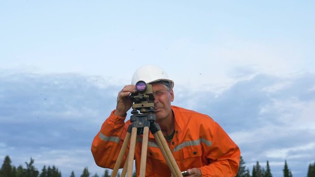
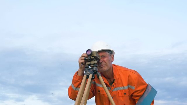
skilled surveyor in orange jumpsuit works with dumpy level
00:30
HD
A surveyor with equipment works on a sunny day. complex of geodetic works for engineering surveys. Concept of the geodesy of topography of surveying and cadastral work.
00:48
HD
Focused Young Black Woman Surveyor in Safety Vest Using Surveying Equipment on Landscape During Golden Hour, Capturing Topographical Data in Rural Setting
00:05
HD
The guy peeps into a monocle, portrait, closeup
00:06
HD
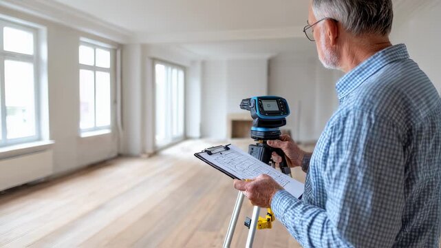
Real estate appraiser examines interior dimensions of a living space combining manual observation with electronic tools for detailed property assessment.
00:06
HD
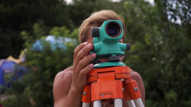
A man works with an optical level to level the landscape
00:17
HD
Female Land Surveyor Operating a Total Station on a Grassy Hill Under an Overcast Sky
00:08
HD
Young Hispanic Woman Surveyor Using a Total Station on a Construction Site in Bright Orange Safety Vest Under Clear Sky
00:08
HD
A surveyor in a white hard hat and high-vis vest operates a theodolite on a tripod at a construction site under a bright blue sky.  He carefully adjusts the device's settings
00:05
HD
A surveyor working with a theodolite on a construction site, wearing a hardhat and safety vest, focusing on precision and accuracy in land measurement
00:06
HD
Surveyor engineer using theodolite measuring on construction site
00:12
HD
Precise Surveyor at Work: An asian surveyor meticulously uses surveying equipment for land measurement, expertly utilizing technology to ensure accuracy and precision in his outdoor work.
00:05
HD
A European surveyor using a theodolite on a construction site, highlighting his profession in a cartoon style.
00:10
HD
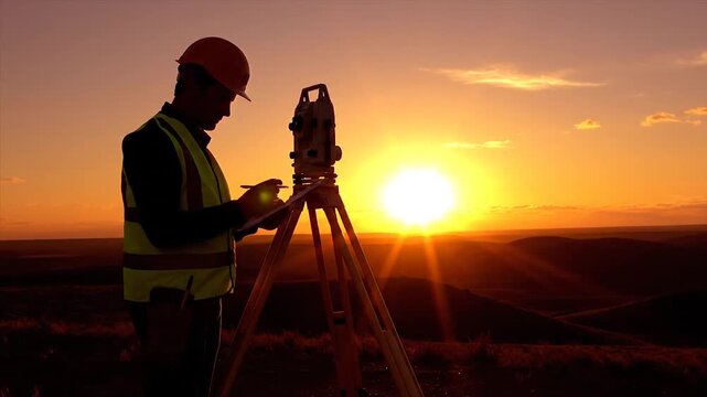
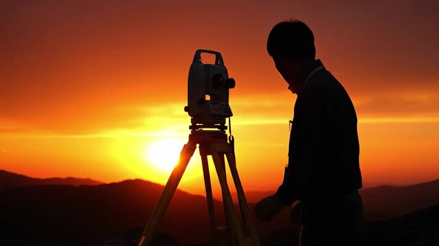
Silhouette of male surveyor working with theodolite against dramatic orange sunset sky. Concept of construction, engineering and geodesy work. Ideal for industrial banners.
00:08
HD
Professional civil engineer, female Asian surveyor in hard hat using theodolite total station at construction site, close up
00:28
HD
Surveyor at work measuring the distance
00:11
HD
Surveying Equipment at Sunset in Mountain Valley
00:08
HD
Professional Surveyor in Orange Vest Measuring Land on Sunny Day in Green Field with Landscape Background
00:08
HD
Surveyor engineer is measuring level on construction site. Geodesist ensure precise measurements before undertaking large construction projects. Concept of landscape design
00:07
HD
The worker measures the distance with a theodolite.
00:05
HD
concentrated surveyor looks through theodolite and writes
00:19
HD
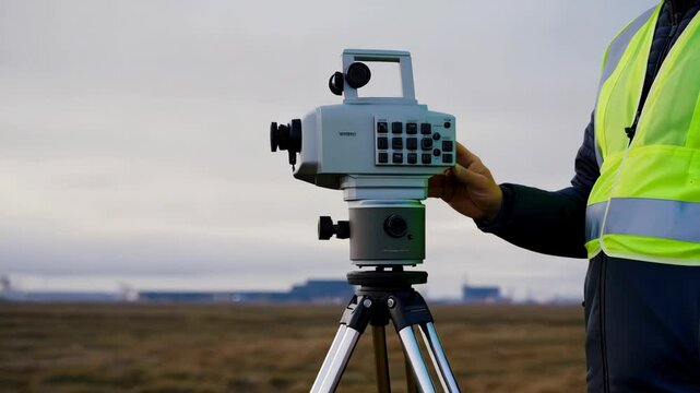
A man is holding a surveying instrument in a field. The instrument is a total station, which is used to measure distances and angles. The man is wearing a yellow vest
00:08
HD
Surveyor in Safety Vest Conducting Field Measurements with Tools on Truck Tailgate
00:10
HD
Surveyor adjusting hightech equipment for field measurements in open landscape
00:11
HD
Surveyor measuring tree canopies in rural farmland setting to integrate natural green corridors into agricultural land planning.
00:06
HD
A man works with an optical level to level the landscape
00:16
HD
Female Surveyor Using Total Station on an Open Field During Sunset with Natural Landscape Background, Showcasing Professionalism in Land Measurement
00:05
HD
Female Survey Using Theodolite for Land Measurement – Engineer with Hard Hat on Construction Site
00:05
HD
the process of using geodetic equipment to obtain accurate information and data when measuring the distance from one object to another, determining the angle of inclination of the surface.
00:16
HD
surveyor with leveler explores construction site
00:17
HD
Surveyor engineer using theodolite level at construction site
00:12
HD
A skilled professional uses surveying equipment to capture precise measurements in a scenic outdoor environment.
00:08
HD
Caucasian beautiful woman topographer in casque measuring angle with total station on roof of building. Female builder. Constructor doing topographic measures. Geodesy concept. Constructing work.
00:13
HD
Silhouette of surveyor using theodolite equipment against orange sunset sky. Concept of construction engineering and hard work in evening light.
00:08
HD
Industry worker wearing safety helmet operates crane on construction site
00:10
HD
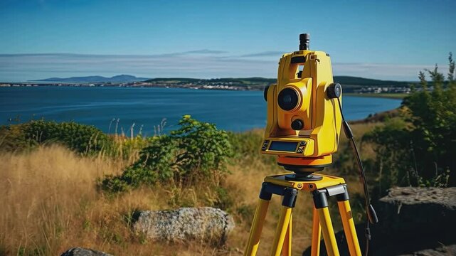
A bright yellow theodolite stands on a tripod, positioned near the coastline with sweeping views of the ocean and distant hills.
00:10
HD
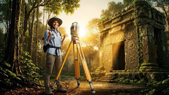
Female archeologist wearing a hat and backpack using a total station for surveying ancient temple ruins in a dense tropical jungle environment during sunset, exploring lost civilization
00:08
HD
Young Male Surveyor in Winter Gear Working on Snowy Terrain with Measuring Equipment
00:08
HD
Surveyor engineer is measuring level on construction site. Geodesist ensure precise measurements before undertaking large construction projects. Concept of landscape design
00:14
HD
Engineer on a construction site with a laser measuring device
00:24
HD
researcher looks through level and writes in blue folder
00:23
HD
Man in a white hat and a green vest is holding a device and looking at it. He is wearing a hard hat and is standing in a field
00:10
HD
Construction Worker Using Theodolite for Surveying Outdoors, Wearing Hard Hat and Safety Vest, Showcasing Focus and Precision with Equipment
00:10
HD
Confident architect looking away with theodolite as blurred engineer with binoculars standing at background. Panning shot of two Caucasian young men discussing project at construction site outdoors
00:06
HD
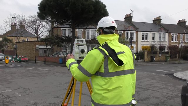
Topografía y topógrafo con cámara y trípode midiendo y tomando medidas en la calle con chaleco y conos en acera
00:07
HD
Surveyor engineer with equipment theodolite or total positioning station on the construction site.
00:07
HD
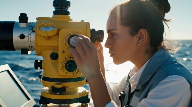
Focused Woman Scientist Actively Surveys Sparkling Ocean Waters with Precision Theodolite for Critical Marine Research
00:08
HD
Surveyor using theodolite at construction site with steel structures in progress
00:11
HD
屋外の測量現場に立つプロフェッショナルな女性技術者
00:05
HD
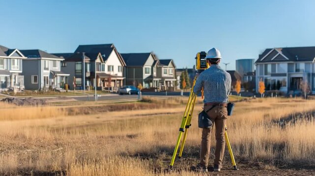
Surveyor at work: A surveyor meticulously examines the land, employing advanced tools and precision to ensure accurate measurements and mapping of a developing residential area.
00:10
HD
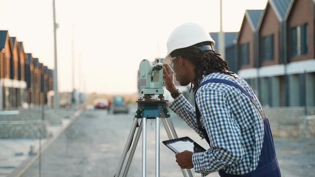
Surveyor engineer using theodolite and tablet on construction site
00:14
HD
Engineers use tacheometer or theodolite for survey line columns for the construction of buildings
00:11
HD
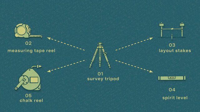
Site layout establishes control points, checks levels, and transfers the build footprint across the construction lot. Flat 3D style with a dry silkscreen texture; objects numbered and labelled in
00:08
HD