ระบบได้ส่งลิงก์สำหรับตั้งรหัสผ่านของคุณไปที่: ต่อไปนี้คุณจะต้องใช้รหัสผ่านในการเข้าถึงสินค้าที่คุณได้ซื้อ

RonyPoly

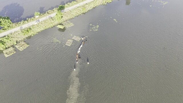
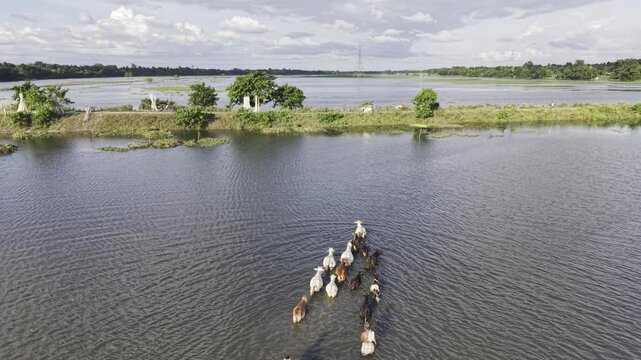
Aerial view of cattle and a rural herder moving through the flooded Nandiar Bil wetland in Kushtia, Bangladesh during the monsoon season.
00:10
HD
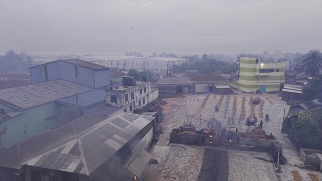
Orbiting drone footage captures workers beginning manual paddy handling at a Khajanagar rice mill, showing the drying yard and early morning rice processing activity from multiple angles.
00:50
HD
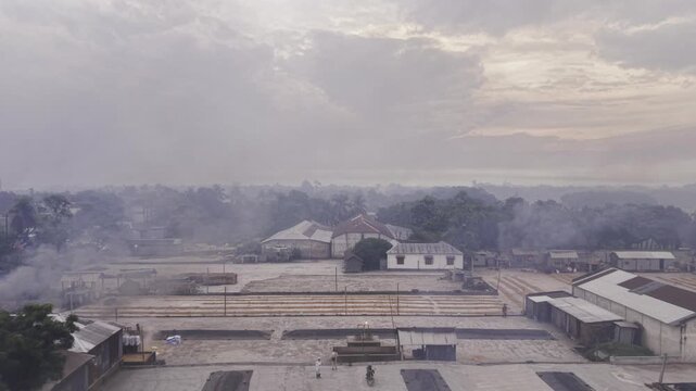
Backward drone footage pulls away from a Khajanagar rice mill drying yard, revealing workers manually handling paddy as early morning rice processing begins at dawn in rural Bangladesh.
00:13
HD
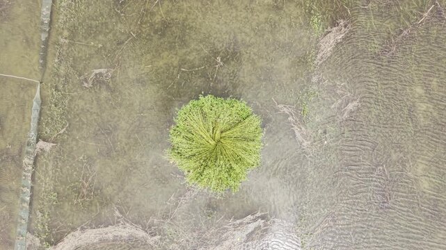
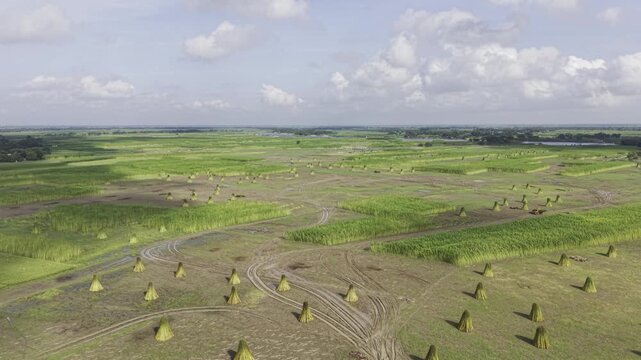
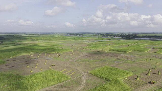
Slow ascending drone footage keeps a standing bundle of harvested jute as the main subject, revealing surrounding waterlogged farmland, field patterns and rural agricultural scenery.
00:09
HD
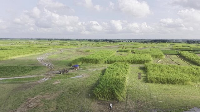
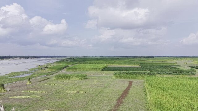
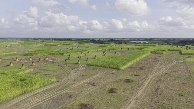
Drone footage moves forward above rural jute fields along a riverbank, revealing harvested jute bundles, green vegetation, waterlogged plots and expansive agricultural land under open skies.
00:10
HD
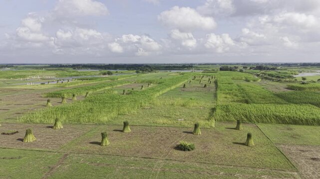
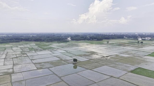
Drone footage shows jute fields with upright bundles of harvested jute and some uncut plants, while distant river water, open sky, and clouds form the rural background landscape.
00:12
HD
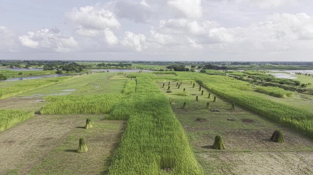
Aerial drone footage captures harvested jute bundles standing upright among uncut jute plants, with distant river water, open sky, clouds, green vegetation and rural farmland.
00:09
HD
Aerial footage shows jute fields with upright bundles of harvested jute and some uncut plants, while distant river water, open sky, and clouds form the rural background landscape.
00:14
HD
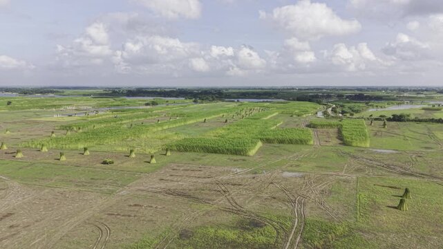
Ascending drone footage reveals jute fields with upright harvested bundles and uncut plants, with distant river water, open sky, and clouds across the surrounding rural landscape below.
00:09
HD
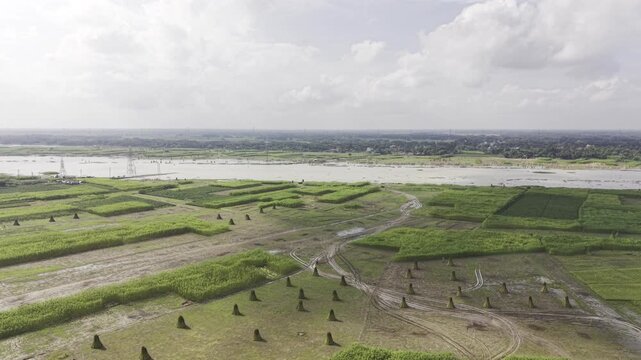
Forward drone footage passes over a jute farming area with upright bundles of harvested stalks and remaining uncut plants, revealing the Padma River, open sky and clouds in the distance.
00:13
HD
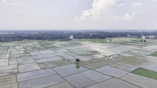
Drone footage orbits over recently planted rice fields, showing young rice seedlings in prepared plots with standing water, muddy soil, distant homes, and rural greenery below.
00:32
HD
Orbiting aerial footage reveals newly planted rice fields with young seedlings, shallow water, muddy plots, distant homes, and trees across the rural agricultural landscape below.
00:16
HD
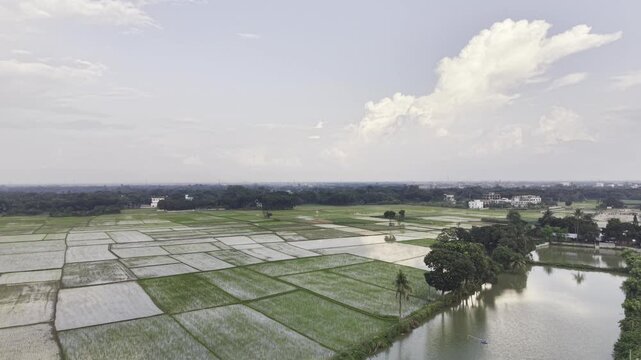
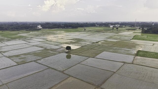
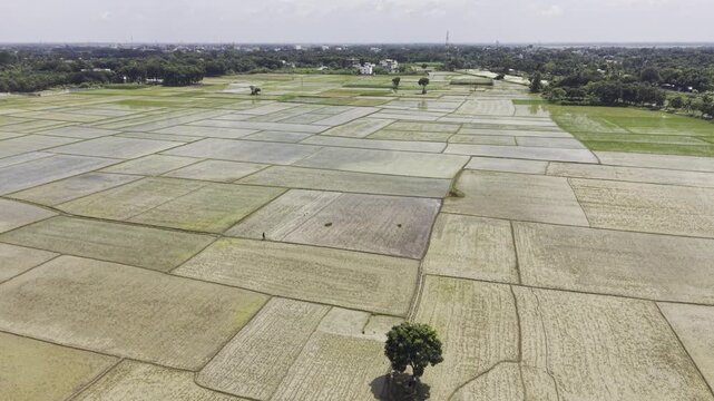
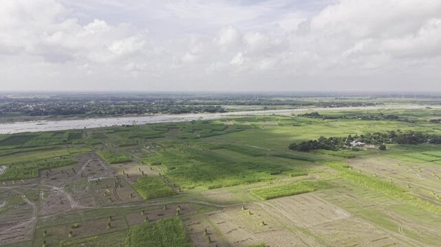
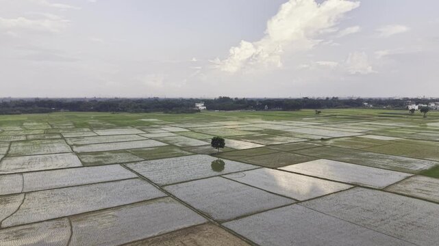
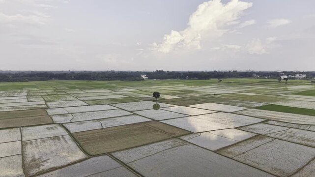
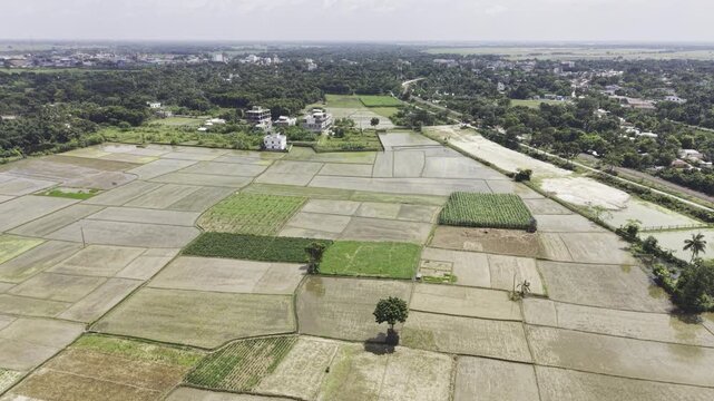
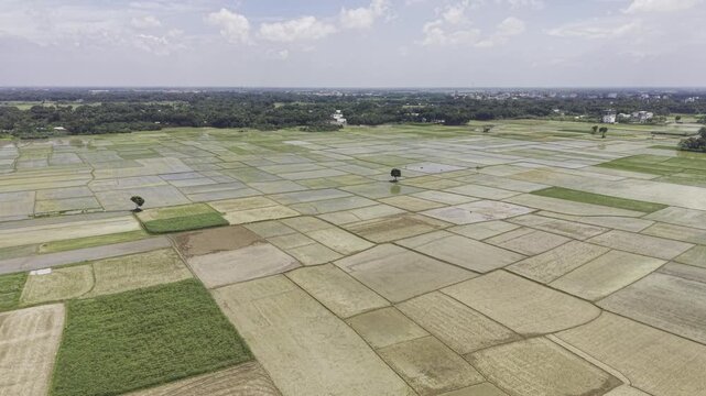
Drone footage shows recently prepared rice fields after plowing and before rice planting, with water-filled plots, muddy soil, distant homes, trees and open rural farmland under a cloudy sky.
00:21
HD
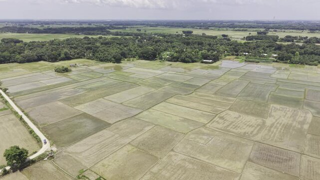
Aerial footage captures cultivated rice fields after land preparation and before rice planting, showing water-filled plots, muddy surfaces, scattered trees, distant homes and rural farmland.
00:11
HD
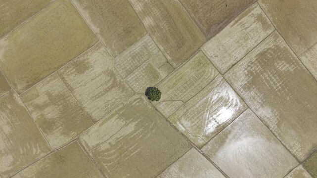
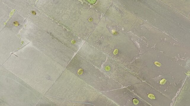
Top-down drone footage shows freshly tilled and leveled agricultural fields covered with water, prepared for rice cultivation, highlighting traditional farmland preparation patterns.
00:26
HD
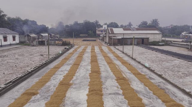
Forward drone footage moves over parboiled paddy spread across the drying yard at a Khajanagar rice mill, documenting an important stage of rice processing in Bangladesh.
00:21
HD
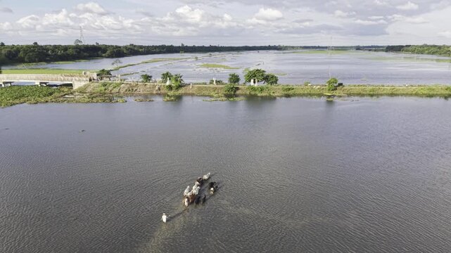
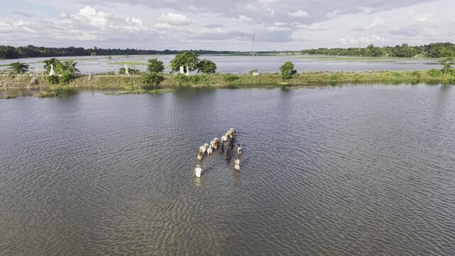
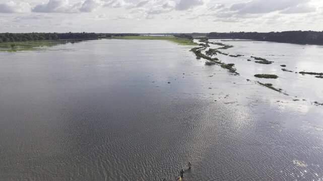
Slow forward aerial footage follows a flooded rural landscape at Nandiar Bil, where a herder moves cattle through seasonal floodwater in Kushtia, Bangladesh.
00:11
HD
Slow drone movement reveals cattle and a herder crossing waterlogged land at Nandiar Bil in Kushtia, Bangladesh, illustrating seasonal flooding and rural livelihood.
00:10
HD
Monsoon floodwater covers the Nandiar Bil wetland in rural Bangladesh, with cattle and a herder moving through the waterlogged agricultural landscape.
00:10
HD
Slow forward aerial footage follows a flooded rural landscape at Nandiar Bil, where a herder moves cattle through seasonal floodwater in Kushtia, Bangladesh.
00:07
HD
A person navigates a small wooden dinghy across waterlogged farmland at Nandiar Bil, Kushtia, Bangladesh, illustrating rural transport and seasonal flooding during the monsoon.
00:16
HD
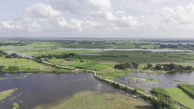
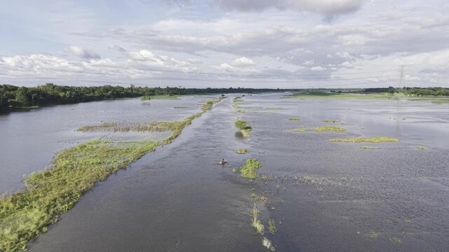
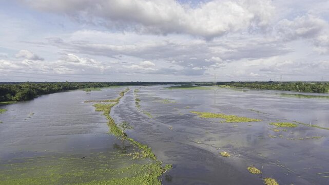
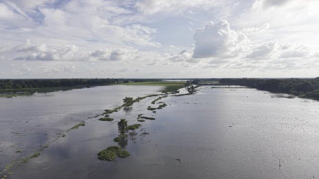
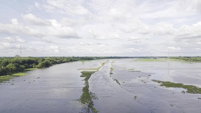
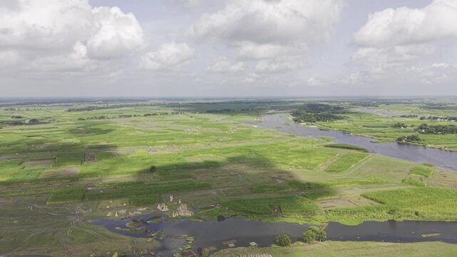
Drone ascends above monsoon-flooded agricultural land in Kushtia, Bangladesh, gradually revealing the extent of waterlogged fields, green village banks, a narrow waterway, and cloudy blue skies.
00:10
HD
Drone moves forward over monsoon-flooded agricultural land in Kushtia, Bangladesh, revealing a narrow waterway, submerged fields, green grassy village banks, and a blue sky with white clouds.
00:15
HD
Drone moves forward over monsoon-flooded agricultural land in Kushtia, Bangladesh, revealing a narrow waterway, submerged fields, green grassy village banks, and a blue sky with white clouds.
00:10
HD
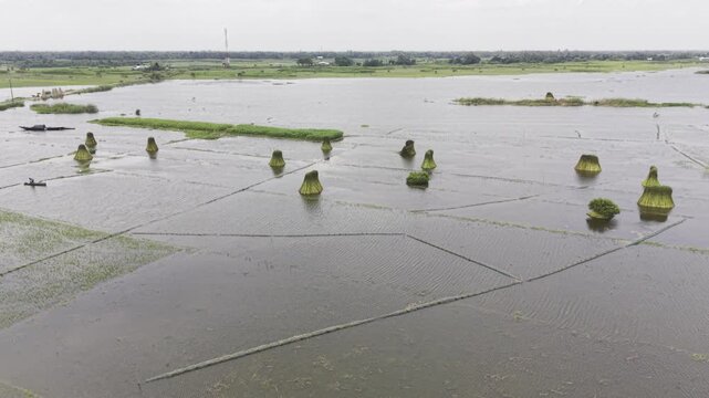
Slow ascending drone footage reveals waterlogged jute fields with bundles of harvested jute standing upright in shallow water, highlighting rural agricultural land and jute harvesting.
00:11
HD
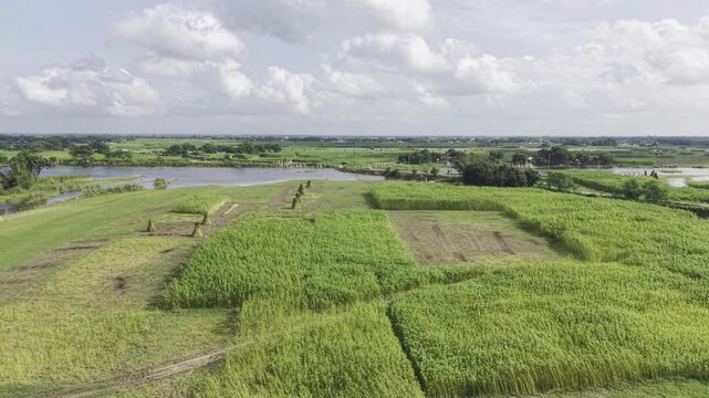
Forward drone footage flies over cultivated jute fields beside a riverbank, showing harvested jute bundles, green crops, flooded plots and open rural farmland beneath a cloudy sky.
00:09
HD
Drone aerial footage captures jute fields with standing harvested jute bundles and uncut plants, with distant river water, open sky, clouds, and surrounding rural farmland visible.
00:09
HD
Aerial footage reveals jute fields with harvested jute bundles standing upright beside uncut plants, with distant river water, open sky, clouds, and rural farmland visible across the scene.
00:09
HD
Drone footage moves forward over jute fields with upright harvested jute bundles and uncut plants, while distant river water, open sky, and clouds remain visible in the rural landscape.
00:11
HD
Forward-moving aerial footage passes over jute fields with standing harvested bundles and uncut plants, with distant river water, open sky, clouds, and rural farmland visible ahead.
00:10
HD
Drone view reveals jute fields with harvested bundles standing upright beside uncut plants, while distant river water, open sky, clouds and surrounding rural farmland remain visible.
00:09
HD
Forward aerial footage shows a rural jute field during harvest, with bundles of cut jute standing upright among unharvested plants, while the Padma River, sky and clouds appear beyond.
00:09
HD
Drone footage moves forward over a jute field where harvested stalks are bundled and left standing, with uncut jute plants and the distant Padma River beneath an open, cloudy sky.
00:10
HD
Drone footage moves forward over jute fields with upright harvested jute bundles and uncut plants, while distant river water, open sky, and clouds remain visible in the rural landscape.
00:09
HD
Drone footage moves backward over recently planted rice fields, revealing young rice seedlings in prepared plots with standing water, muddy soil, distant homes, and a rural greenery scene.
00:13
HD
Drone footage moves forward over recently planted rice fields, showing young rice seedlings in prepared plots with standing water, muddy soil, distant homes, and a rural greenery scene.
00:16
HD
Aerial footage shows newly planted rice fields with young seedlings growing in prepared plots, shallow water, muddy soil, distant homes, trees and surrounding rural farmland under a cloudy sky.
00:11
HD
Ascending aerial footage reveals recently planted rice fields with young seedlings, water-filled plots, muddy soil, distant homes, trees, and the surrounding rural landscape below here.
00:10
HD
Drone footage captures young rice seedlings planted across prepared farmland, with shallow water, muddy plots, scattered trees, distant homes and a broad rural landscape beneath clouds.
00:08
HD
Aerial footage reveals freshly planted rice seedlings across prepared fields, with water-filled plots, muddy soil, distant homes, trees and green rural surroundings beneath a cloudy sky.
00:20
HD
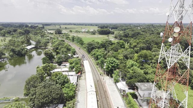
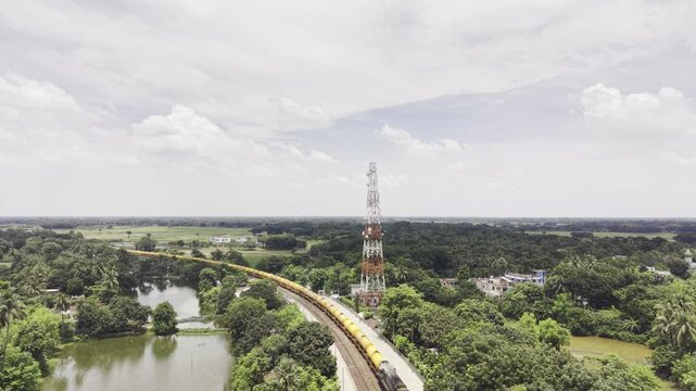
Aerial drone footage captures a cargo train arriving at Poradah Junction in Kushtia, Bangladesh, with railway platforms and tracks surrounded by green vegetation, ponds, rural homes, and farmland.
00:09
HD
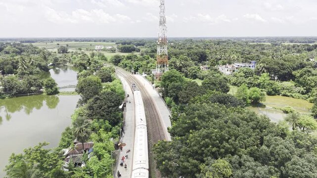
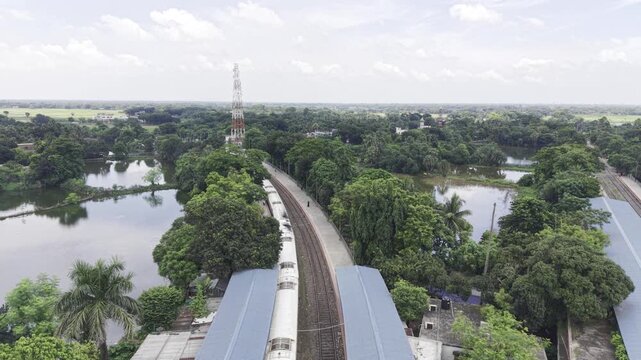
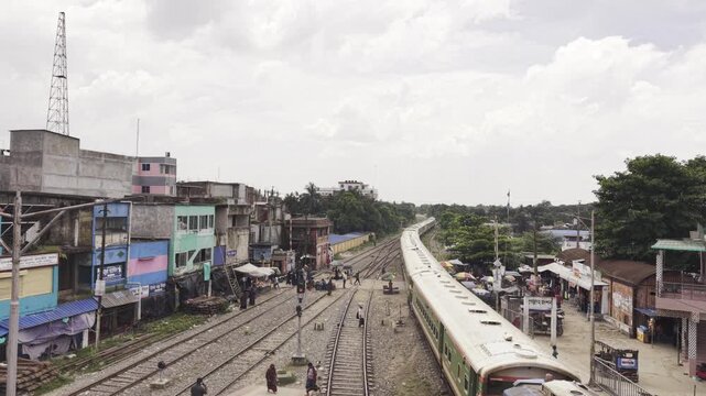
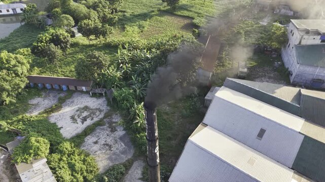
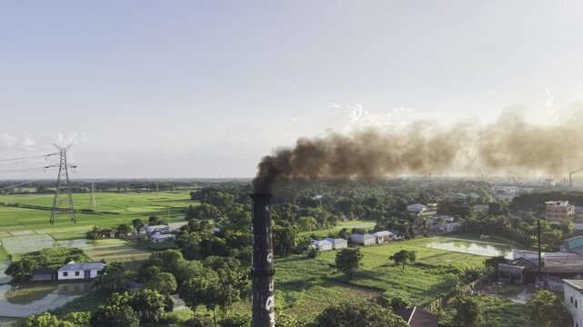
Aerial drone footage shows a passenger train departing Poradah Junction in Kushtia, Bangladesh, moving between railway platforms through a lush rural landscape with ponds, trees, homes, and farmland.
00:16
HD
12 August 2026, Kushtia, Bangladesh: Aerial footage of a passenger train departing Poradah Junction in Kushtia, Bangladesh, with parallel railway tracks, station platforms, lush vegetation, and ponds.
00:11
HD
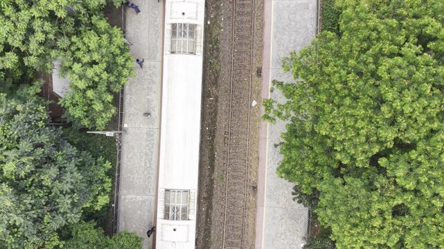
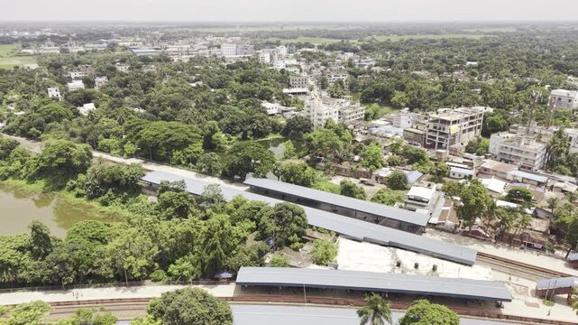
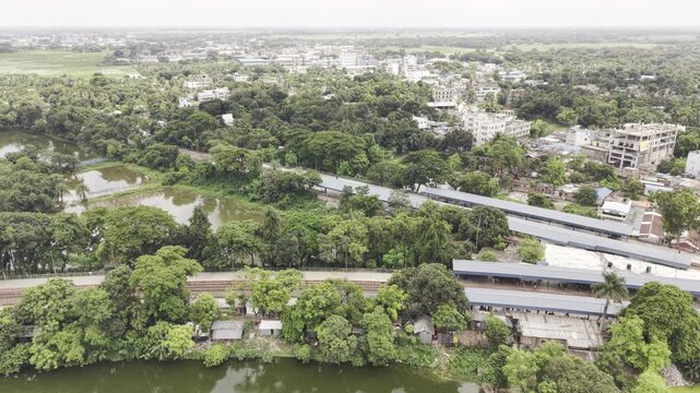
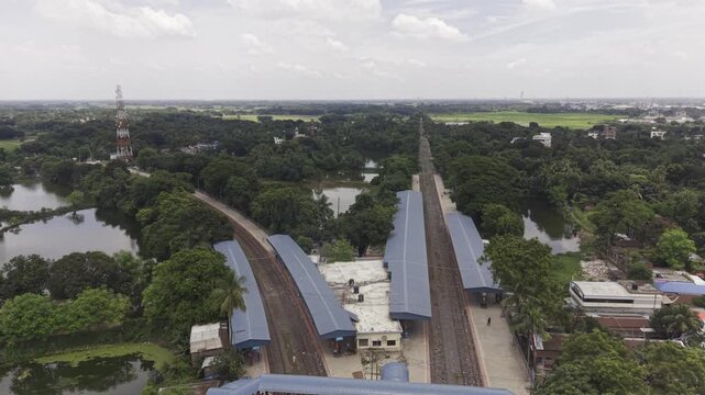
Aerial drone footage of a railway station in Bangladesh, showing multiple tracks, long platform roofs, station areas, pedestrian paths, and dense green trees surrounding the railway.
00:12
HD
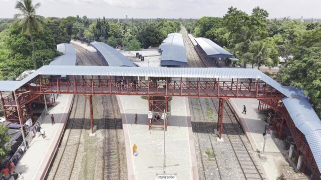
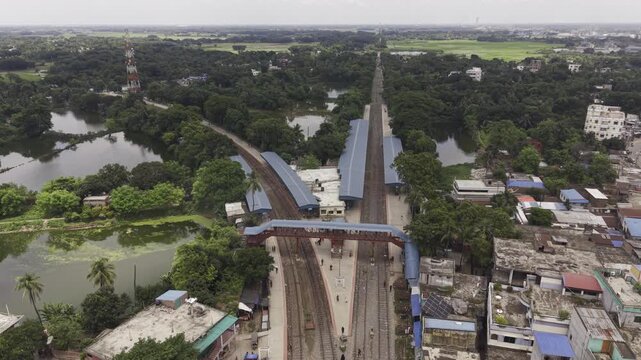
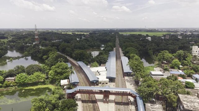
Aerial drone footage moves forward over Poradah Junction in Kushtia, Bangladesh, revealing multiple railway tracks, covered platforms, a pedestrian footbridge, and dense greenery around the station.
00:25
HD
Drone footage captures a passenger train leaving Poradah Junction railway station in Kushtia, with railway platforms and tracks extending through a green countryside surrounded by ponds and trees.
00:09
HD
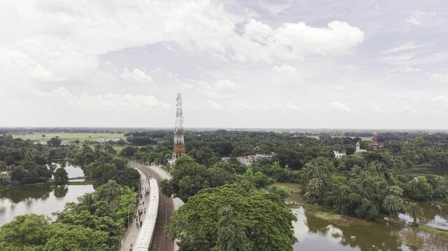
Poradah Junction, Kushtia, Bangladesh, 12 August 2026: A passenger train arrives at Poradah Junction railway station, approaching the platforms along the railway tracks, captured by an aerial drone.
00:14
HD
Forward-moving aerial drone footage of Poradaha Junction Railway Station in Bangladesh, showing railway platforms, multiple tracks, station buildings, surrounding greenery, and the nearby landscape.
00:13
HD
Rightward-moving aerial drone footage over Poradaha Junction Railway Station in Bangladesh, showing railway platforms, multiple tracks, station buildings, greenery, and the surrounding landscape.
00:15
HD
Ascending drone footage gradually reveals Poradah Junction railway station in Kushtia, Bangladesh, with multiple railway tracks, covered platforms, a pedestrian footbridge, and surrounding greenery.
00:10
HD
Backward-moving drone footage reveals Poradah Junction railway station in Kushtia, Bangladesh, showing multiple railway tracks, covered platforms, a pedestrian footbridge, and lush green surroundings.
00:09
HD
Forward-moving drone footage showcases Poradah Junction railway station in Kushtia, Bangladesh, with multiple tracks, covered platforms, a pedestrian footbridge, and lush green surroundings.
00:11
HD
Drone footage shows a cargo train arriving at historic Poradah Junction in Kushtia, Bangladesh, moving along railway tracks between station platforms amid lush greenery, ponds, homes, and farmland.
00:10
HD
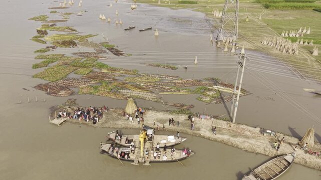
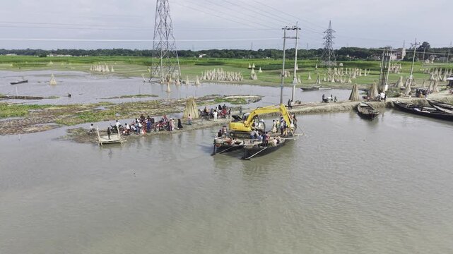
Aerial footage captures an excavator barge crossing the Padma River, with passenger boats and people nearby, floating vegetation, power lines, green fields and a rural village landscape
00:10
HD
Bangladesh, 15 August 2026: Aerial drone footage shows an excavator barge crossing the Padma River near a rural village, with passenger boats, people, floating vegetation, power lines and green fields
00:11
HD
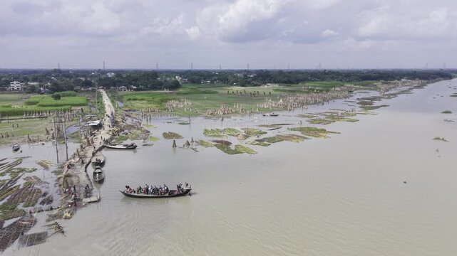
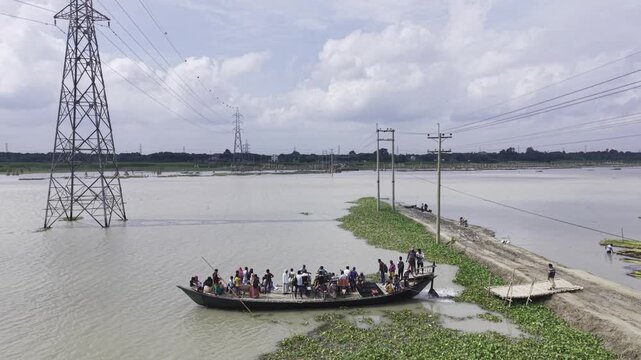
Drone aerial footage of a busy passenger boat on the Padma River in Bangladesh, showing riverside vegetation, an embankment, power transmission towers, blue sky and white clouds.
00:10
HD
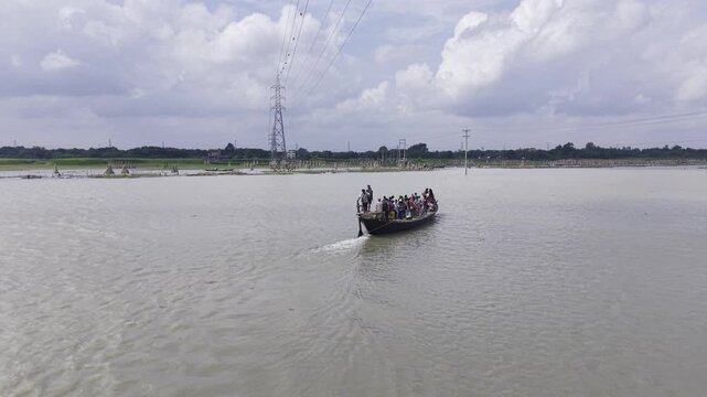
Aerial drone footage captures a passenger boat carrying people across the Padma River in Bangladesh, with riverside vegetation, an embankment, transmission towers, blue sky and scattered clouds.
00:12
HD
Aerial drone footage shows a crowded passenger boat crossing the Padma River in Bangladesh, with a narrow riverside embankment, transmission towers, floating vegetation, blue sky and white clouds.
00:10
HD
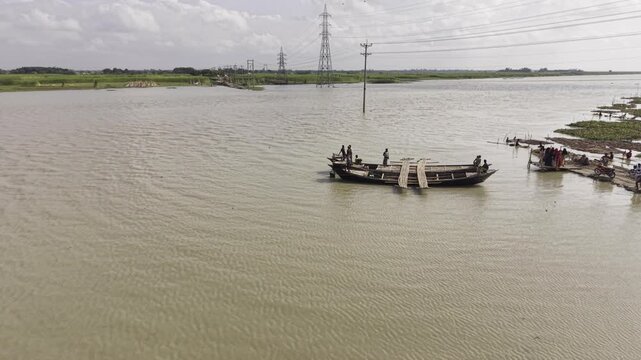
Drone footage shows wooden boats on the wide Padma River, with calm muddy water, green riverbanks, distant power transmission towers and open rural landscape under a bright cloudy sky.
00:11
HD
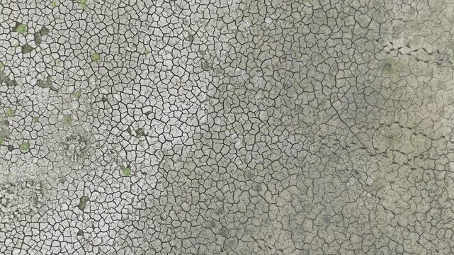
Professional 4K aerial drone footage gliding over a completely dried pond with striking cracked mud textures in rural Bangladesh.
00:10
HD
Professional 4K aerial drone footage gliding over a completely dried pond with striking cracked mud textures in rural Bangladesh.
00:17
HD
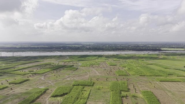
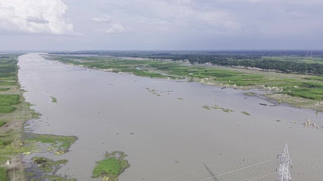
Aerial drone footage shows a wide river winding through green agricultural fields, rural settlements, waterways, and fertile riverine landscape, creating a detailed view of the countryside.
00:14
HD
Single white cloud drifting above palm tree against clear blue sky, tranquil tropical background
00:11
HD
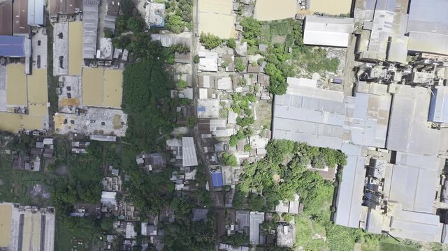
Top down aerial of industrial warehouses beside dense urban neighborhood with overgrown lots
00:13
HD
White fluffy clouds passing through deep blue daytime sky, tranquil weather background
00:16
HD
Puffy cumulus clouds drifting across bright blue daytime sky, full-frame cloudscape background
00:12
HD
Towering cumulus cloud formations building over flat rural countryside, high aerial sky view
00:14
HD
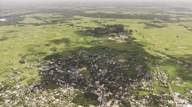
Rural town surrounded by vast green farmland from high altitude drone view, agricultural landscape
00:27
HD
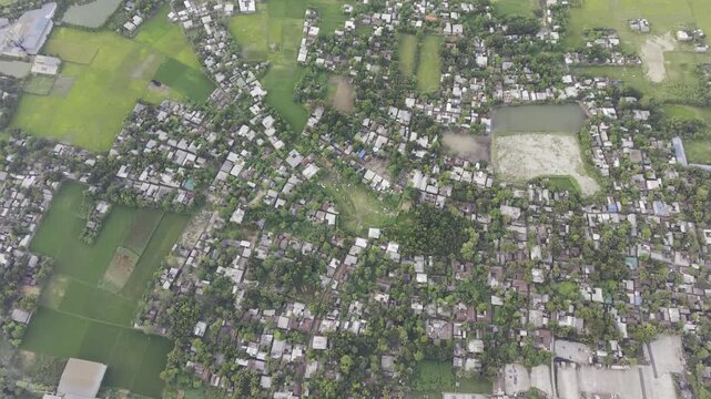
Dense village neighborhood surrounded by lush green rice fields, overhead drone view in Bangladesh
00:49
HD
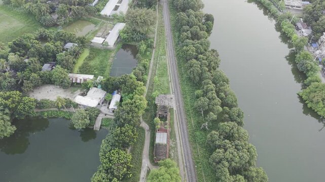
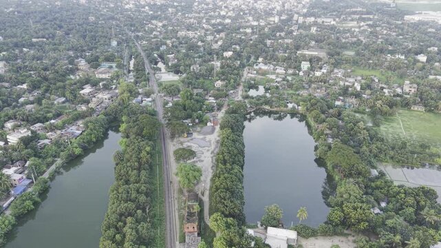
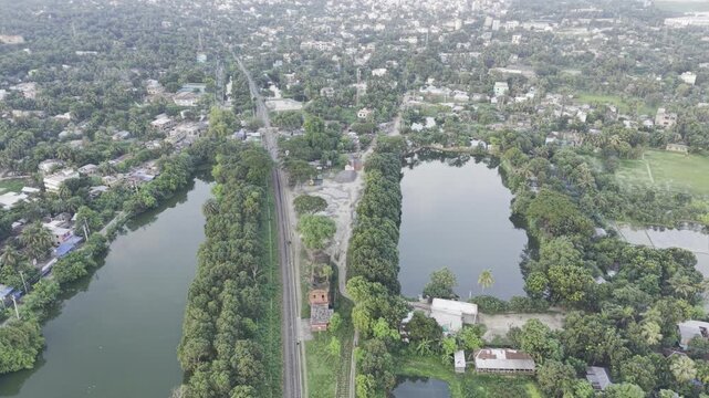
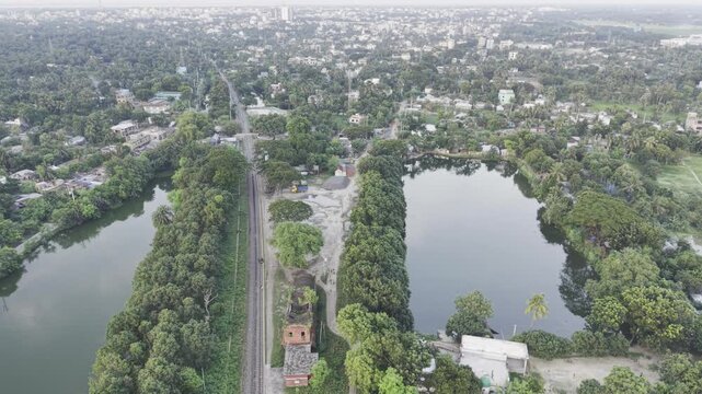
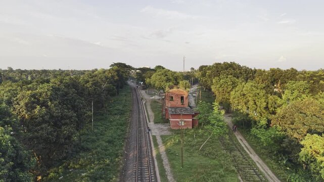
Jagati railway station between river and pond in lush rural Bangladesh, aerial drone flyover along tracks
00:09
HD
Overhead drone push along tree strip rail corridor with twin ponds and dense settlement in Bangladesh
00:08
HD
Drone Pullback from Historic Jagati Railway Station Bangladesh
00:10
HD
Ascending Aerial View of Historic Jagati Railway Station Bangladesh
00:09
HD
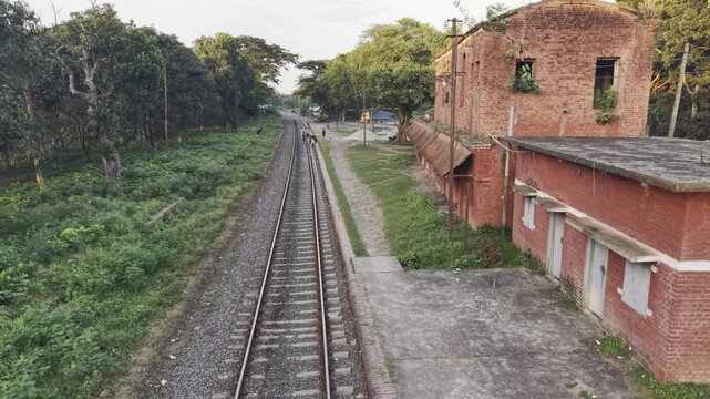
Overcast aerial flyover past old two storey red rail quarters and dirt footpath with people in rural India
00:10
HD
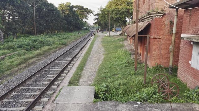
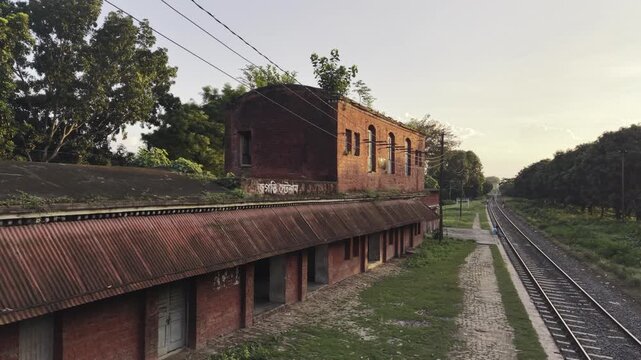
Late day view along old red railway station platform with cobbled path, grass and distant people in rural Bangladesh
00:11
HD
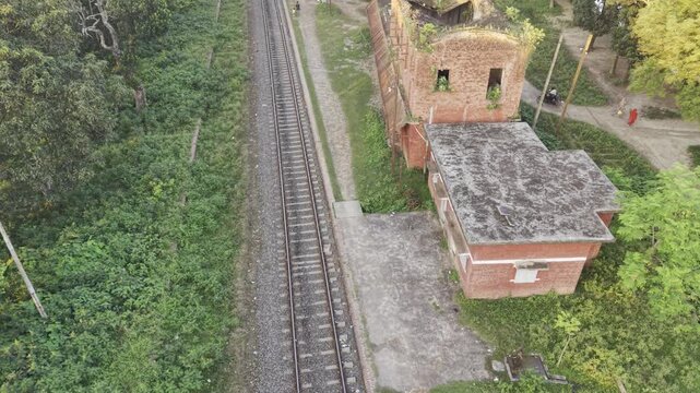
Elevated daytime view along overgrown rail beside old red service block with pedestrians in rural India
00:21
HD
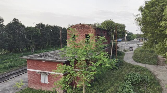
Golden hour flyover of overgrown two-storey railway signal building and office block beside single rail in Bangladesh countryside
00:05
HD
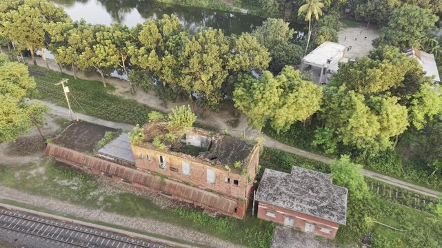
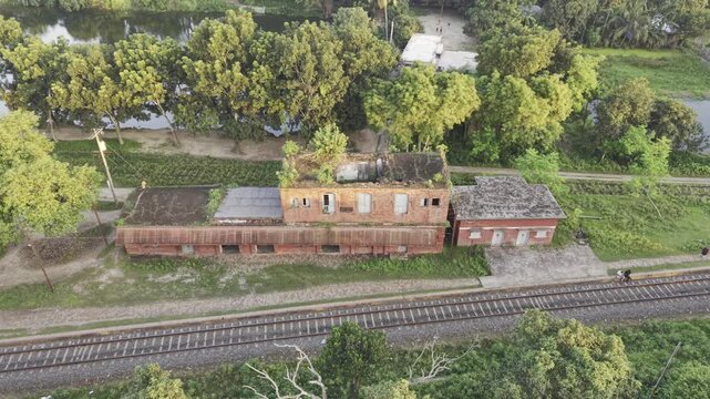
Daylight drone flyover of vegetation-filled old two-storey rail quarters by trees, canal and tracks in rural Bangladesh
00:10
HD
Drone lateral move past abandoned two-storey red railside quarters beside single track and ponds in rural Bangladesh
00:11
HD
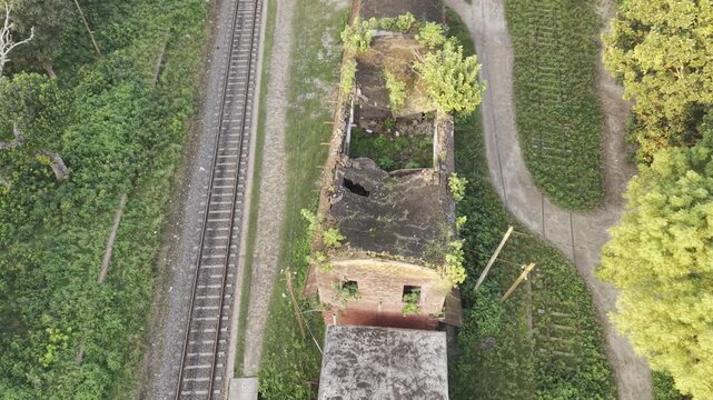
Top-down drone flyover of overgrown roofless railside brick building beside single train track and dirt road, rural Bangladesh
00:10
HD
Late afternoon drone flyover of abandoned two‑storey rail building in overgrown forested countryside Bangladesh
00:18
HD
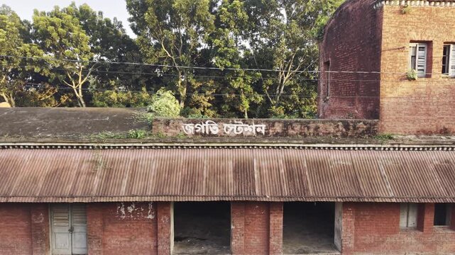
Static drone shot of Jagati Station red brick facade with faded Bengali signboard in Bangladesh
00:10
HD
Quiet old platform building beside single railway line at dusk in rural Bangladesh
00:10
HD
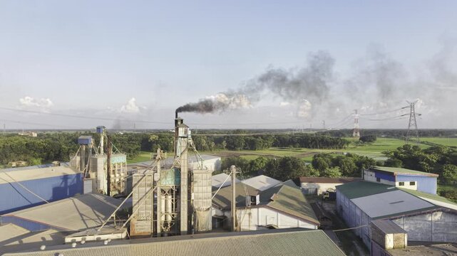
Slow aerial zoom toward Khajanagar Rice Mill in Kushtia, Bangladesh, bringing industrial structures and visible chimney smoke closer while farmland, vegetation and power infrastructure remain visible.
00:10
HD
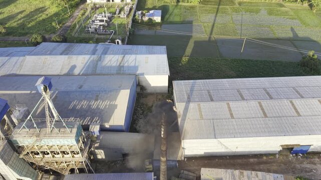
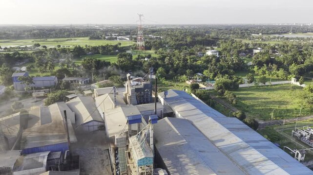
Aerial focus on Khajanagar Rice Mill in Kushtia, Bangladesh, showing industrial processing structures, visible smoke, power infrastructure, green farmland and surrounding rural landscape from above.
00:10
HD
Aerial view of Khajanagar Rice Mill in Kushtia, Bangladesh, showing industrial processing structures and visible smoke beside green farmland, power lines and rural landscape from above.
00:10
HD
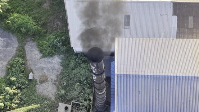
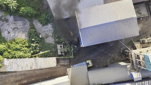
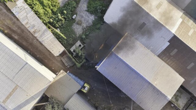
Aerial footage of Khajanagar Rice Mill in Kushtia, Bangladesh, showing a tall smokestack releasing visible smoke above the industrial facility, with green farmland and trees surrounding the site.
00:15
HD
Industrial rice processing facility in Khajanagar, Kushtia, Bangladesh, with a tall chimney emitting visible smoke above factory buildings and nearby green farmland, showing industry beside farmland.
00:10
HD
Aerial footage showing a factory smokestack releasing dense dark smoke over rural farmland, homes and green agricultural fields in Bangladesh, illustrating industrial air pollution and environmental
00:09
HD
Drone footage captures a large plume of industrial smoke spreading across green agricultural land and nearby rural homes in Bangladesh, highlighting air pollution
00:16
HD
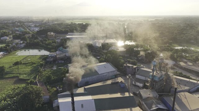
Aerial footage of Khajanagar Rice Mill in Kushtia, Bangladesh, showing heavy smoke rising from industrial chimneys above factory buildings, with farmland, trees and roads surrounding the facility.
00:16
HD
Aerial view of industrial smoke rising from a rice processing facility in Khajanagar, Bangladesh, highlighting air pollution, industrial emissions and environmental pressure within a rural agriculture
00:10
HD
Dark Industrial Smoke Cloud Over Agricultural Fields and Rural Settlement in Bangladesh
00:09
HD
Industrial Smokestack Releasing Smoke Above Green Farmland and Rural Landscape
00:09
HD
Aerial footage of an industrial smokestack releasing smoke above green farmland, trees, homes, and rural landscape,
00:08
HD
Drone footage showing an industrial smokestack and smoke plume surrounded by green fields, trees and countryside homes, suitable for environmental awareness, industry, agriculture, and sustainability
00:09
HD
Aerial industrial landscape featuring a tall smokestack, visible smoke plume, green farmland and rural buildings, offering versatile footage for industry, environment, and agriculture
00:09
HD