A link to set your password has been sent to: To access your purchases in the future you will need a password.
Get 10 Stock images with a free trial
New filters added
Sort by

3,142 results for perimeter map in all

338 results in video
Outline perimeter concept features a gear risk assessment, a magnifying glass showing detailed analysis, and a map symbolizing property or territorial boundaries in security management
00:17
HD
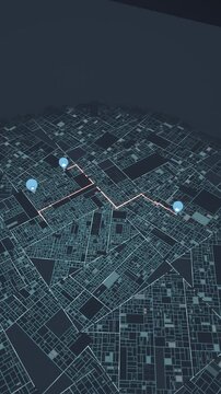
Vertical video: Drawing round map tracing route linking blue pins when top left pin lights on rim
00:16
HD
Map pin location icon animation with red marker on white background for navigation
00:12
HD
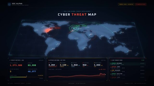
Cyber attacks contained on a global threat map as automated response secures every node
00:20
HD
Person marking a perimeter boundary using a cart while planning a land survey, studying property documents, and identifying area limits for mapping and demarcation projects
00:17
HD
Cyber security network breach and perimeter mapping digital interface loop animation
00:15
HD
A robotic hand elegantly points to a cost reduction graph over a world map backdrop, symbolizing advanced technology role in modern business strategies. Synapse
00:12
HD
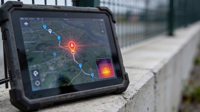
Marker flashing, rugged tablet pulsing orange alert signaling route on ledge by fence, copy space
00:05
HD
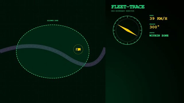
Digital monitoring of a geofence perimeter for logistics tracking showing vehicle speed and compass heading across a green motion graphics interface with a moving truck map
00:06
HD
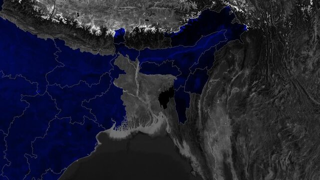
Tripura Map Animation Highlighting State Borders and Geographic Location in Northeast India Satellite View
00:09
HD
Location perimeter security monitoring system detecting activity around a warehouse, using a map interface and scanner, secure zone mapping and geofencing technology
00:17
HD
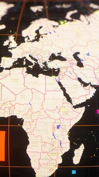
Vertical video: Panning camera moving down on vertical screen showing digital map EMEA with markers
00:05
HD
Futuristic USA map global 19 interface security symbols, numerical data glowing borders. cyber defense, identity security, threat intelligence, infrastructure resilience enterprise protection
00:20
HD
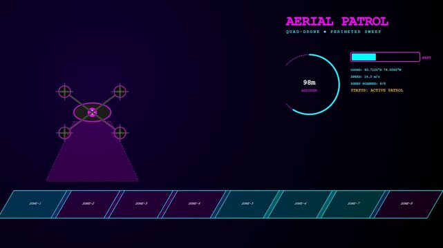
A digital geofence perimeter map interface displaying drone flight patterns and aerial status updates across multiple glowing blue sensor zones on a dark violet screen
00:06
HD
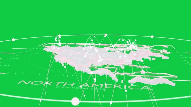
Camera orbiting, North America map showing pulsing nodes and arcs mapping cyber on transparent grid
00:12
HD
Futuristic USA network map circuit paths, digital nodes contrasting cyber defense, identity protection, infrastructure resilience, secure access, threat analysis enterprise 19 presentations.
00:20
HD
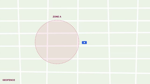
Geofencing Security Alert Interface Showing Vehicle Leaving Designated Zone Boundary with Notification
00:10
HD
indt Process Infographic Presentation Layout
Profit Model strategy layout with connected radial glowing tech symbols and bright blue light beams set on a dark world map background scene.

00:10
HD
Visual representation of cybersecurity analytics with threat detection metrics, network activity graphs, and a world map highlighting threat locations for enhanced digital security
00:05
HD
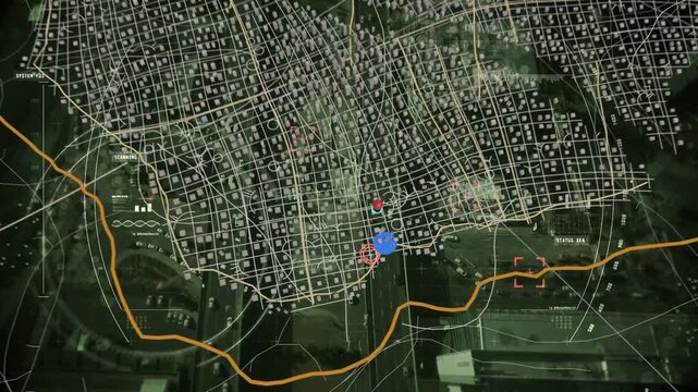
Ping initiating map HUD, showing converging markers, plotting cyan route highlighting corridor
00:12
HD