A link to set your password has been sent to: To access your purchases in the future you will need a password.
Get 10 Stock images with a free trial
New filters added
Sort by

611 results for ndvi in all

96 results in video
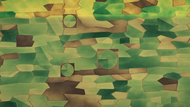
Aerial Farmland NDVI False Color Map With Drone Survey Swath And Center Pivot Irrigation Seamless Loop in deep brown tones
00:10
HD
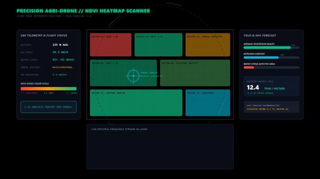
Digital Farming Interface Monitoring Crop Health with Drone NDVI Heatmap Data Analysis Dashboard
00:10
HD
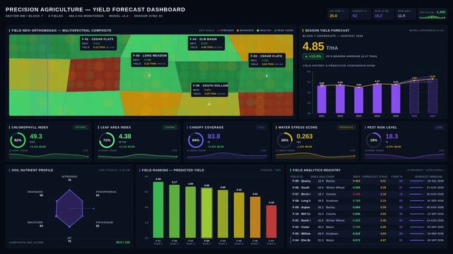
Explore the Precision Agriculture Yield Forecast Dashboard showcasing satellite imagery, NDVI gradients, and crop health metrics in a vibrant, modern design.
00:15
HD
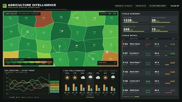
Explore a precision crop monitoring platform featuring an aerial farm topology with NDVI color-coded health indicators and a detailed twelve-stream time-series analysis for agriculture intelligence.

00:15
HD
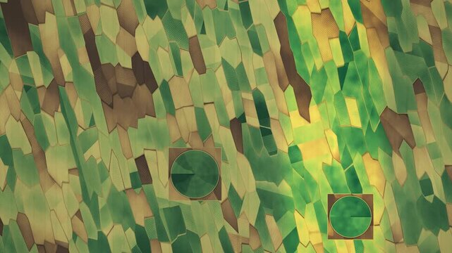
Aerial Farmland NDVI False Color Map With Drone Survey Swath And Center Pivot Irrigation Seamless Loop in bright brown tones
00:10
HD
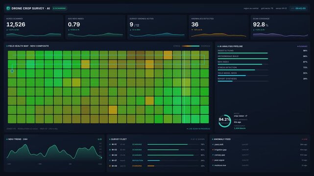
Drone crop survey dashboard with ndvi field health maps, live scan metrics, ai analysis pipeline, for precision agriculture, smart farming, 4k visualization
00:20
HD
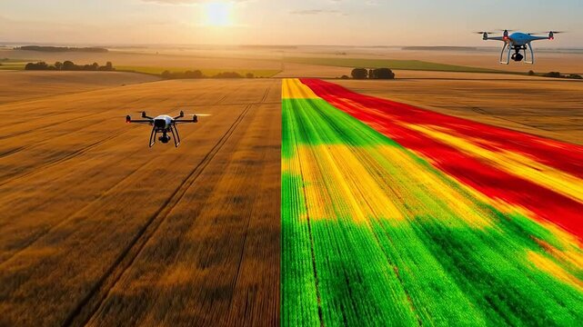
Drone NDVI Scan Over Golden Wheatfield
00:05
HD
Aerial Farmland NDVI False Color Map With Drone Survey Swath And Center Pivot Irrigation Seamless Loop in vibrant crimson tones
00:10
HD
Smart Precision Agriculture Drone NDVI Crop Health HUD
00:10
HD
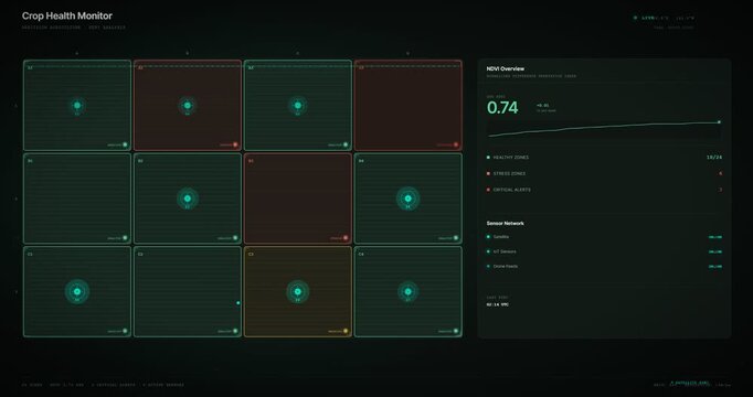
Crop Health Monitor displaying NDVI index readings on farm dashboard
00:10
HD
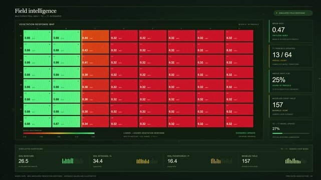
Multispectral NDVI Crop Health Analysis Dashboard
00:15
HD
Abstract animated crop health scanned across a field index drawn as green and teal lines and shapes on a deep dark background. Seamless looping 4K motion graphics video with free space for text, ideal
00:07
HD
Illustrated top-down view of agricultural fields with NDVI color palette showcasing crop health and precision farming operations, featuring data panels and charts for analysis.
00:15
HD
Multispectral Satellite NDVI Vegetation Scanner Modern Farm Technology Vector Animation
00:05
HD
Aerial Farmland NDVI False Color Map With Drone Survey Swath And Center Pivot Irrigation Seamless Loop in calm rose tones
00:10
HD
Abstract animated crop vigour scanned across a field drawn as cool blue-white lines and shapes on a deep dark background. Seamless looping 4K motion graphics video with free space for text, ideal for
00:07
HD
Aerial Spectral Vision: Precision Mapping of Wheat Health
00:05
HD
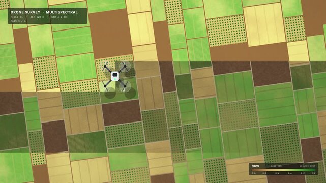
Top-down quadcopter survey of farm fields revealing an NDVI crop health strip, seamless loop
00:15
HD
Aerial Farmland NDVI False Color Map With Drone Survey Swath And Center Pivot Irrigation Seamless Loop in rich violet tones
00:10
HD
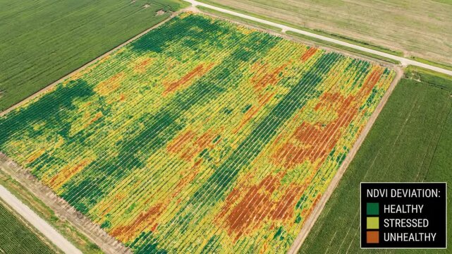
Drone based NDVI survey maps crop health variations, highlighting potential yield differences for precision agriculture
00:08
HD
Normalized Difference Vegetation Index Word Cloud
00:09
HD
Seasonal Vegetation Green Up Over Continent From Space Seamless Loop
00:15
HD
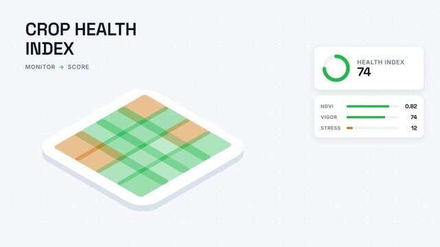
Isometric crop health index dashboard showing smart agriculture NDVI vegetation analysis with plant stress monitoring telemetry and precision farm field scoring analytics
00:17
HD
Vertical aerial farm fields switching between RGB and NDVI crop health views, seamless loop
00:15
HD
Teal crop field health heatmap detail view
00:15
HD
Process of calculating NDVI vegetation index using aerial imagery
00:30
HD
Blue crop field health heatmap angled view assembling
00:15
HD
Ndvi drone crop health maps aerial field ndvi drone crop health maps showing vegetation vigor with color zones and stressed areas visible from ndvi
00:05
HD