A link to set your password has been sent to: To access your purchases in the future you will need a password.
Create without limits — unlimited downloads, plus powerful AI editing
New filters added
Sort by

2,473 results for western border in videos

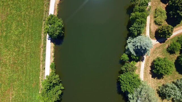
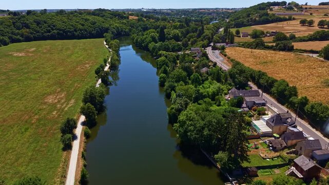
Drone top-down view above the Mayenne River bordered by trees, paths and farmland in western France.
00:09
HD
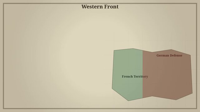
Historical map diagram illustrating western front positions during conflict
00:10
HD
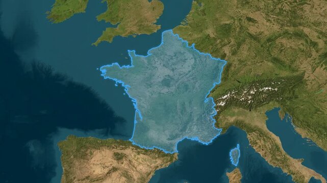
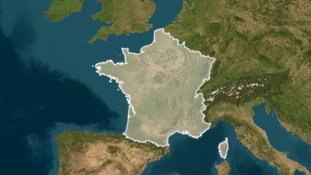
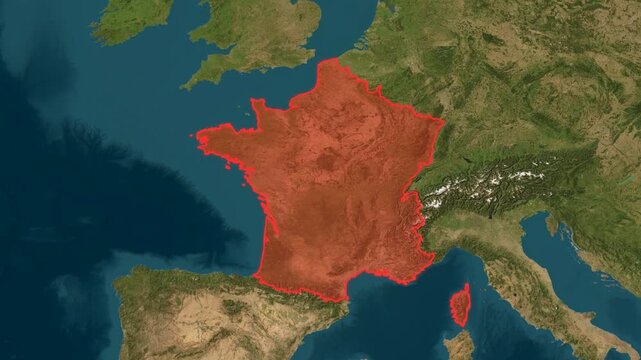
Vertical overhead view of France highlighted with a blue border on a satellite terrain map of western Europe and its surrounding countries
00:13
HD
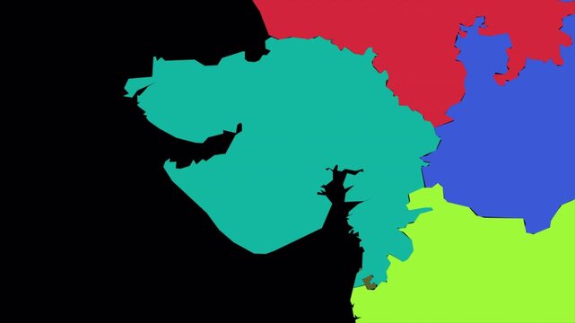
Gujarat map animation, India state geography outline, western Indian political map, regional border territory, administrative location graphic, colorful state map
00:13
HD
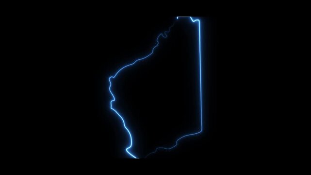
Glowing neon outline map of western australia animation on black background
00:10
HD
Glowing neon outline map of utah state, animated blue light border on black background
00:10
HD
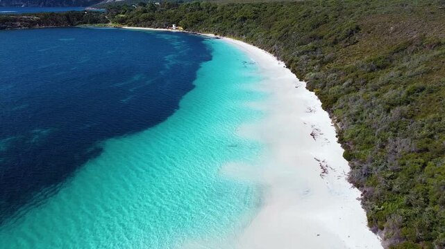
Aerial view of turquoise waters meeting white sand beach bordered by dense coastal vegetation at Frenchman Bay, Western Australia, Australia.
00:10
HD
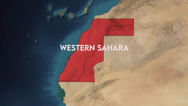
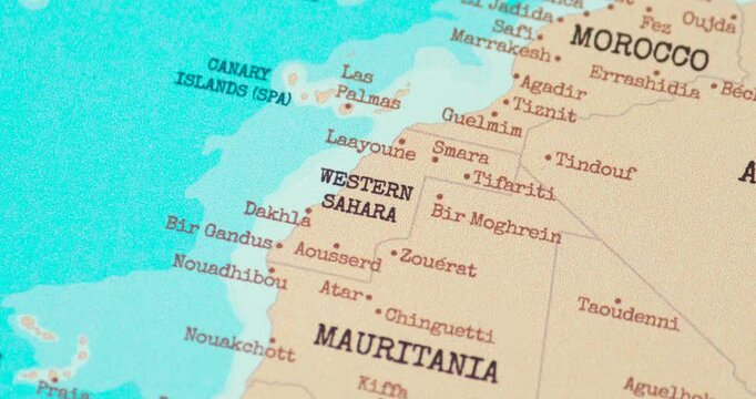
Zoom from Earth to Western Sahara. World map animation with country borders, Images from NASA
00:11
HD
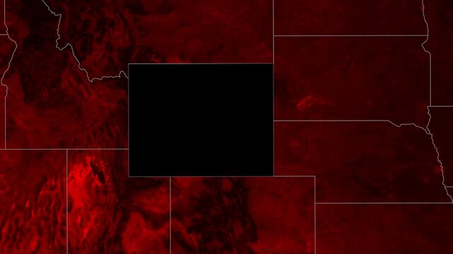
Wyoming Geographic Map Animation Featuring Illuminated State Boundaries and Dramatic Red Textures for Documentary Video Projects
00:09
HD
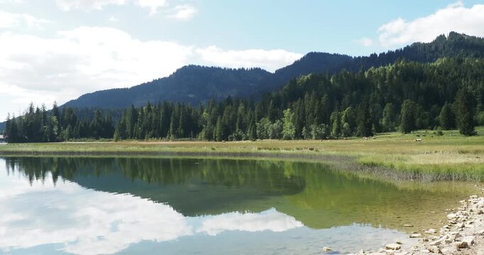
Lake Spitzingsee in the Bavarian Alps. Peninsula on the western shore. Marshes and green meadows bordered by forest
00:17
HD
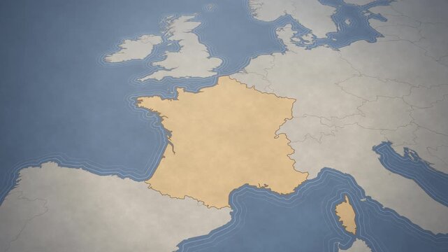
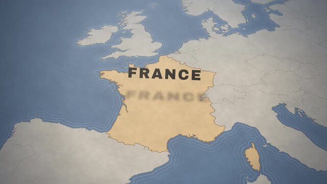
Vintage style map of France and Western Europe for travel and geography concepts.
00:12
HD
Clear forest river bordered by evergreen trees in western Canada
00:19
HD
Guinea map glowing red on detailed geographical atlas screen motion graphic video footage
00:15
HD
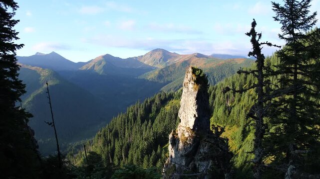
Aerial view of Dolina Juraniowa, Bobrowiecka Przełęcz, and Jamborowy Wierch shrouded in mist and clouds in summer, Western Tatras
00:10
HD
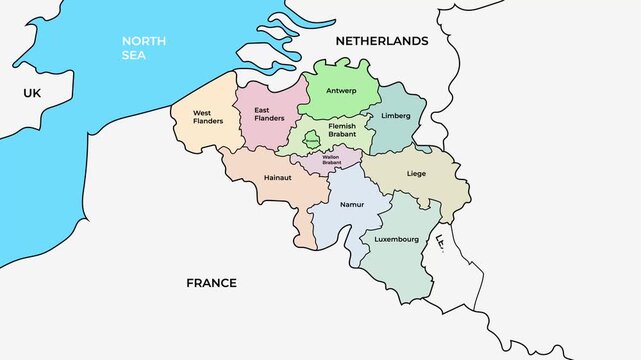
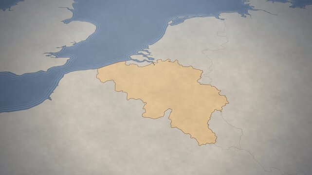
Belgium map with provinces and regions, Western Europe country administrative boundaries animation on white background
00:10
HD
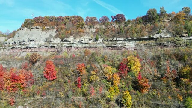
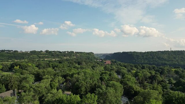
Panning shot moving right Niagara Gorge aerial from over the Niagara River in Lewiston, western New York, United States. Autumn fall foliage tree leaves during October, 2024.
00:41
HD
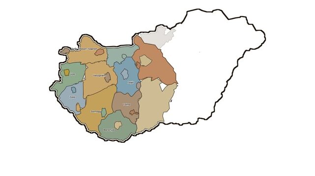
Map of hungary highlighting western counties, motion graphics of map, map of country
00:10
HD
A man wearing a cowboy hat and long black coat, standing outdoors
00:10
HD
Earth globe map. Zoom on Africa and western Asia. Earth from orbit, rotation. Country borders.
00:16
HD
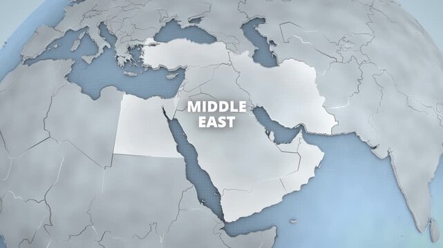
A 3D educational map of the Middle East, Western Asia, featuring a bright geographic highlight, extruded typography, and national borders, designed for a horizontal documentary graphic.
00:12
HD
Drone flying above the Mayenne River bordered by rural homes, farmland and forests in western France.
00:05
HD
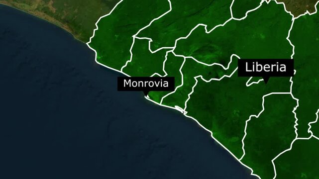
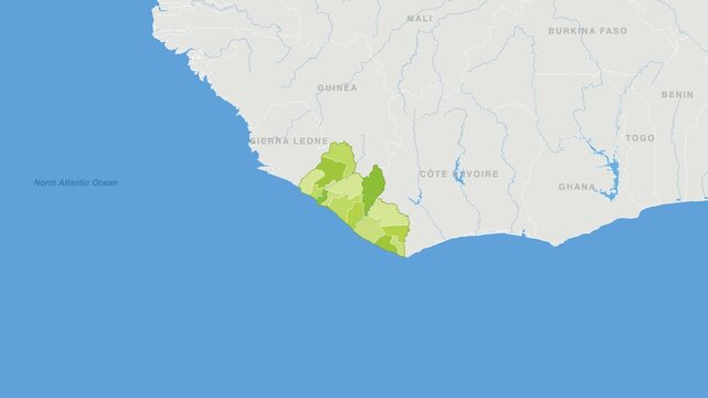
Satellite map view showing the coastline and borders of liberia with the capital city monrovia
00:15
HD
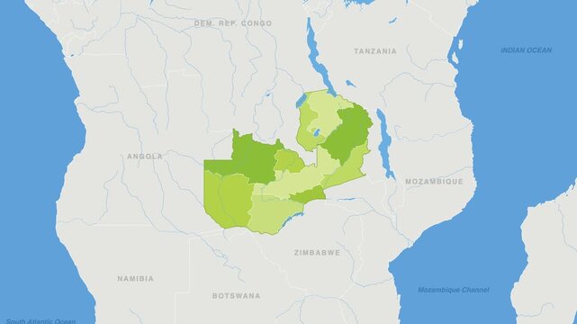
Zambia political map zoom animation over Eastern Africa 4K
00:12
HD
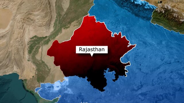
Rajasthan Map Highlight Animation, Rajasthan State Location Map, Rajasthan Map in India
00:10
HD
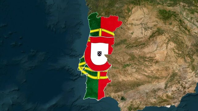
Map of portugal with national flag texture, overlaid on a satellite view of the iberian peninsula, representing european geography
00:14
HD
Glowing neon outline of montana state map on black background
00:10
HD
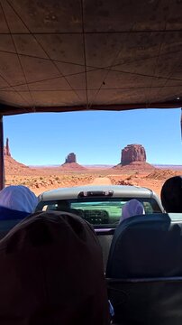
Point of view shot from a safari jeep with tourists driving on a dusty road towards the iconic mittens and buttes of monument valley, a popular destination on the arizona utah border
00:12
HD
United States map with Colorado state highlighted in green and marked with a red location
00:06
HD
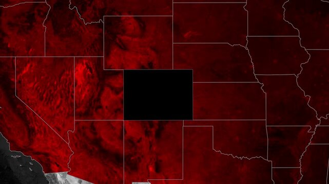
Colorado Map Outline Animation Showing Regional Borders and Fiery Red Highlights on a Cinematic Dark Background
00:09
HD
Vintage ornate number 250 illustration with decorative border on parchment background
00:08
HD
Vintage style map of Belgium highlighting the country's borders and geography within Western Europe.
00:12
HD
Birds eye satellite view of France highlighted with a minimal white outline against natural terrain and the surrounding western European geography
00:13
HD
Georgia map. Animated zoom into the country on the Globe in Pale Mint Dark Pink color palette. Country logo animation with round text and airplanes. Map with meridians, parallels. Beautiful video.
00:12
HD
Dolina Juraniowa surrounded by forest and mountain peaks shrouded in morning mist in summer, Western Tatras
00:12
HD
Farmstead access corridor off Elmer Derr Rd with barns, silo structures, open fields bordered by leafless trees across rolling western Frederick countryside highlights varied soil tones, Maryland
00:18
HD
POV of rustic barbed wire fence in dry, golden field at sunset, leading off into vast, blurred plains. Captures rural solitude & boundary.
00:10
HD
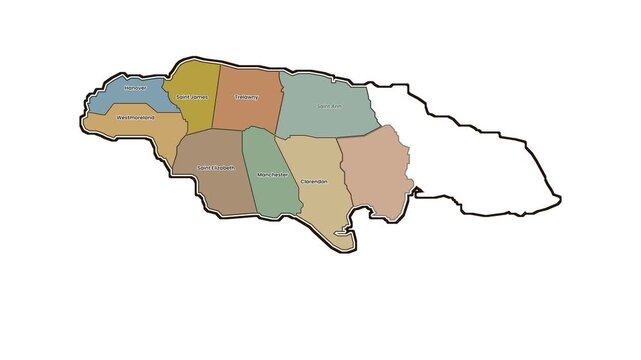
Map of jamaica highlighting western parishes, motion graphics of map, map of country
00:10
HD
Bohemian tribal ornate oval frame with feathers and arrows, hand drawn decorative border for design elements, invitation cards, and scrapbooking
00:08
HD
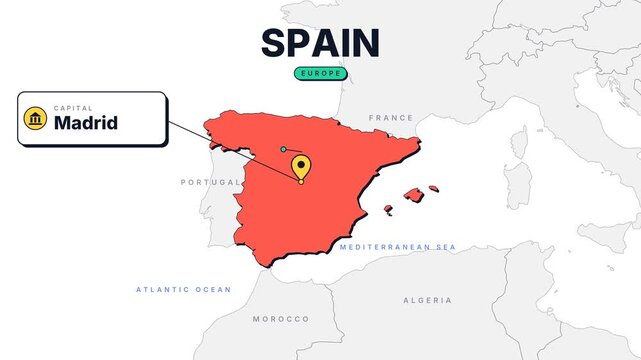
Spain Country Infographic Map Animation
00:10
HD
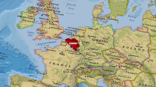
Belgium Map Zooming In Revealing Country Location in Western Europe
00:14
HD
Towering canyon cliffs border the Yampa River in dramatic western landscape, establishing pan across red rock dotted with green shrubs
00:12
HD
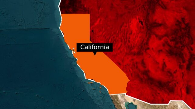
Map of california highlighted in orange on a physical north america continent
00:15
HD
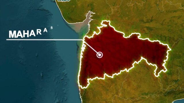
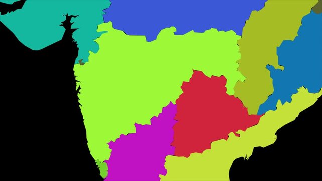
Maharashtra Location Map Motion Graphic, India Maharashtra Map Visualization
00:10
HD
Texas Flag Patriotic Border Frame on Dark Blue Background.
00:20
HD
Low altitude aerial pan left reveals traditional barn and pine forest with the stunning western crest of Bucegi and Leaota mountains at dusk
00:28
HD
Neon glowing outline map of utah state, purple led light effect on black background, digital travel and geography concept
00:10
HD
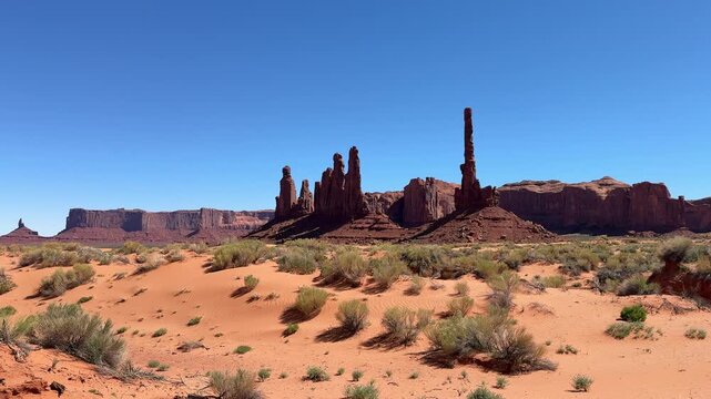
Iconic totem pole butte and yei bi chei spires standing in the vast desert landscape of monument valley navajo tribal park, a famous destination on the utah and arizona border
00:06
HD
West Mitten Butte in Monument Valley, a famous landmark located on the border of Arizona and Utah.
00:29
HD
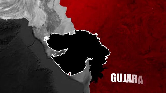
Gujarat state map animation revealing regional location, geographic boundaries, and western India positioning through smooth motion graphics
00:09
HD
Starting tilted globe view, Earth globe rotating, HUD panels sliding east showing network
00:05
HD
Russian Empire Historical Map Animation 1800 AD
00:25
HD
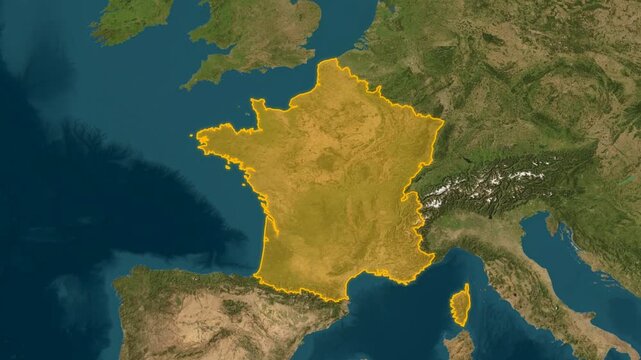
Top-down aerial satellite map of France outlined in vibrant yellow, displaying the country borders and surrounding western European terrain
00:13
HD
Vintage map of France highlighting the country as a travel destination in Western Europe.
00:12
HD
Aerial view of Dolina Juraniowa, Bobrowiecka Przełęcz, and Jamborowy Wierch shrouded in mist and clouds in summer, Western Tatras
00:21
HD
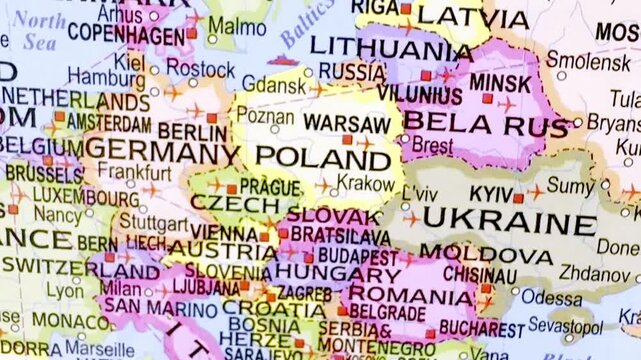
Russia map, Europe map, European countries, political map, Eurasia map, Eastern Europe, Western Europe, international borders, country boundaries and regional atlas
00:10
HD
Maharashtra map animation, India state location marker, western Indian political map, regional geography border outline, administrative territory graphic, colorful state map
00:13
HD
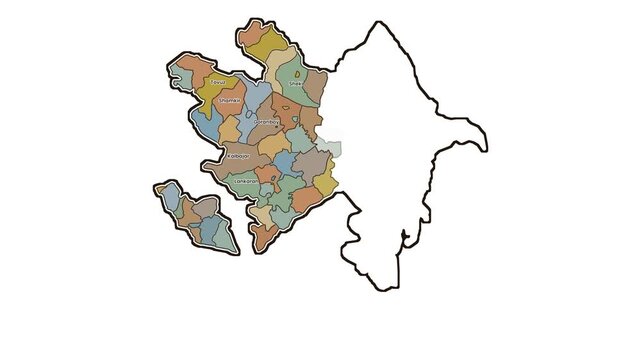
Azerbaijan map with western regions highlighted, motion graphics of map, map of country
00:10
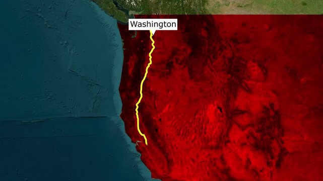
HD
Map of the pacific northwest region of the united states highlighted in red
00:15
HD
Border Village between South Australia and Western Australia, Eyre Highway, Nullarbor Plain: 4K aerial drone footage of remote roadhouse, boder control, Vehicles, outback highway and vast wilderness
00:34
HD
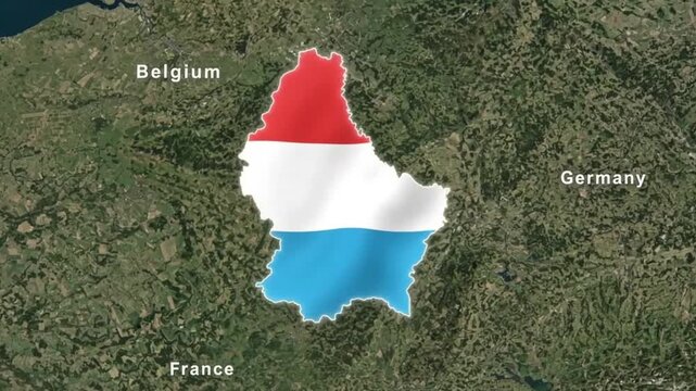
Luxembourg country map with national flag textured inside boundary on satellite topography background with neighboring countries labels
00:08
HD
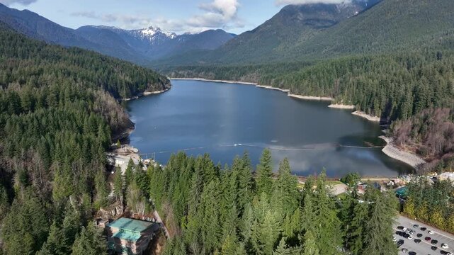
Capilano Reservoir Bordered By Lush Pine Forest And Mountain Peaks In North Vancouver, British Columbia, Canada. - aerial shot

00:14
HD
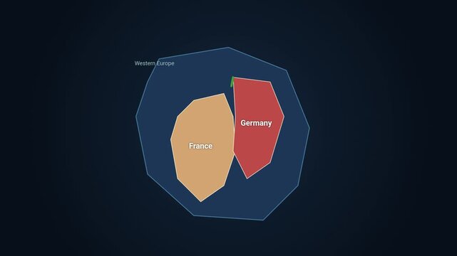
Abstract diagram showing france and germany within the region of western europe
00:10
HD
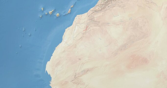
Western Sahara on Globe. Zoom into the country with Earth spinning on dark background. Physical world map with Western Sahara and label on it. Country view animation.
00:12
HD
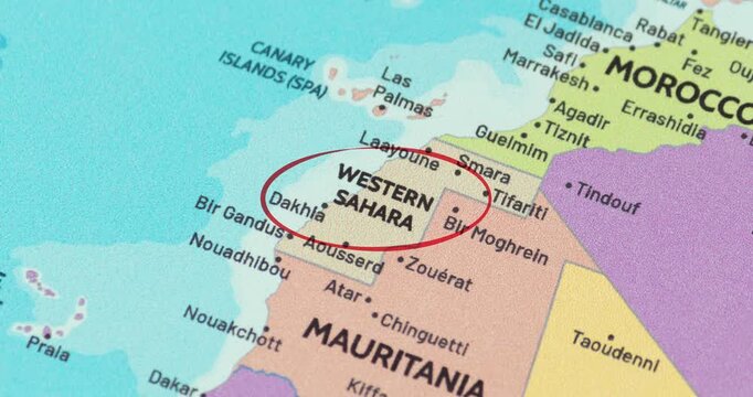
Detailed view of a red circle marking to western sahara on a modern political world map
00:10
HD
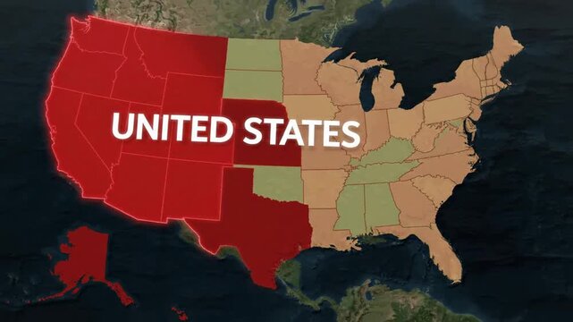
Animated map of united states highlighting western and southern regions for geographic data visualization and business analysis
00:08
HD
Glowing neon outline map of nevada state, usa, isolated on black background, for digital motion
00:10
HD
Monumental sandstone rock formation, the ear of the wind arch, standing against a bright blue sky in the iconic desert landscape of monument valley tribal park on the arizona utah border
00:10
HD
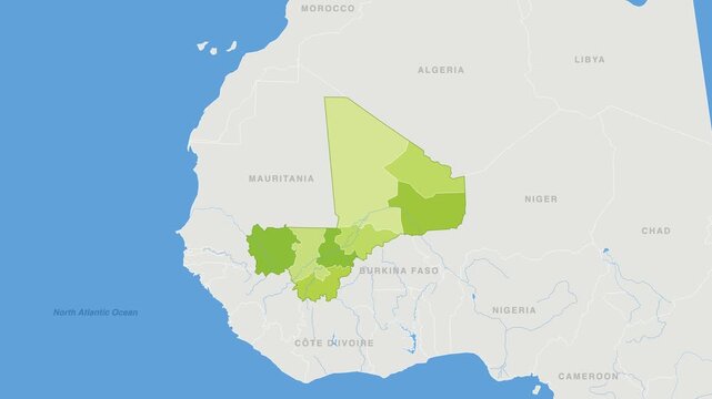
Mali political map zoom animation over Western Africa 4K
00:12
HD
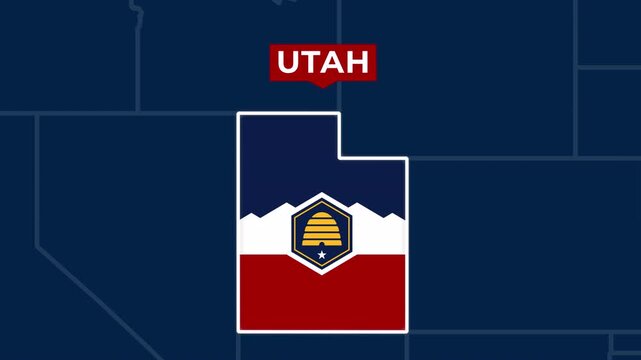
Satellite map animation of Utah, USA. Blinking territory, state flag, pinned name, animated outline of the border. Concept for broadcast, social media, education.
00:07
HD
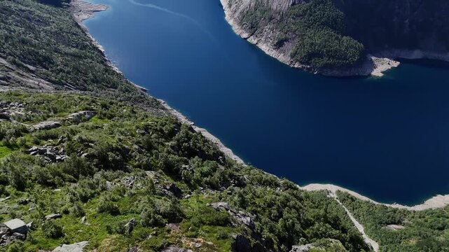
Drone perspective of deep blue fjord bordered by steep forested mountains and rocky shoreline in summer, near Trolltunga in western Norway.
00:13
HD
3D Satellite Map Animation of Hiroshima Prefecture Highlighted in Red Along the Seto Inland Sea in Western Japan
00:17
HD
Aerial top-down satellite view of France outlined in red, showing the country borders against the natural terrain of western Europe
00:13
HD
Magnificent aerial view of three giant stone monuments of Monument Valley. Famous valley in the Navajo Reservation with red sandstone outcrops, located on the border of Arizona and Utah states. 4K
00:14
HD
Mnichy Chochołowskie rock towers shrouded in morning mist and clouds in summer, Western Tatra Mountains
00:23
HD
the butchery market rack sign board with meat cutlery crossed on western fancy border over tear wood background
00:12
HD
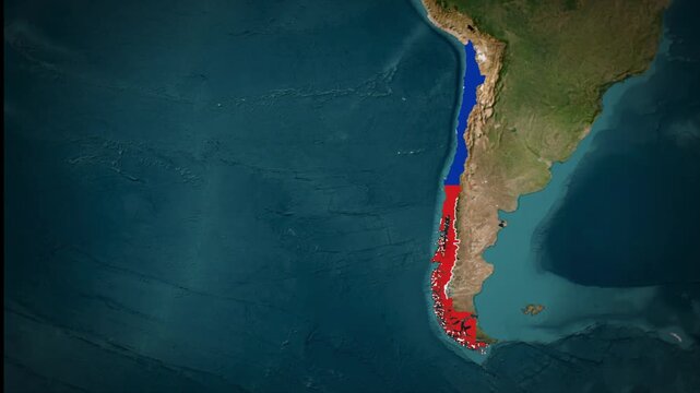
Chile Highlighted on South America Map, Chile Country Geography Animation, Western South America Location Map
00:12
HD
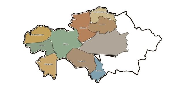
Map of kazakhstan regions with highlighted western provinces, motion graphics of map, map of country
00:10
HD
Aerial lifting up overlooking the Niagara River Escarpment from Lewiston in western New York, United States with the Queenston Lewiston international border crossing and Canada in the distance. 2024.
00:12
HD
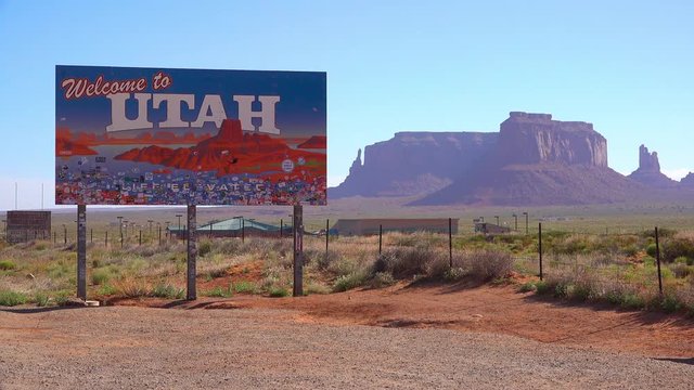
A sign welcomes visitors to Utah with Monument Valley background.
00:12
HD
Border Village between South Australia and Western Australia, Eyre Highway, Nullarbor Plain: 4K aerial drone footage of remote roadhouse, boder control, Vehicles, outback highway and vast wilderness
00:14
HD
3D orbiting globe highlighting the chronological rise of Rome and the eventual split into the Western and Eastern Roman Empires in history
00:10
HD
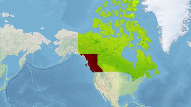
Map of Canada highlighting British Columbia province in red with province Columbia geography
00:15
HD
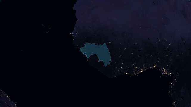
Guinea night globe. City lights, zoom, spin, outline glow, pullback, ring reveal for Guinea. Elements of the animation furnished by NASA.
00:11
HD
Zoom in view of western sahara on a vintage political world map
00:10
HD
Zoom in to the map of Indonesia, with text and textless
00:24
HD
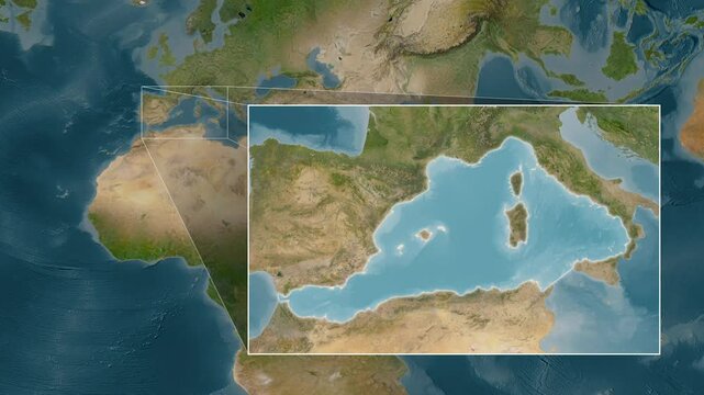
Mediterranean Sea - Western Basin. Satellite map. Location
00:08
HD
Young adventurous woman wearing a brown cowboy hat looking at the american and arizona flags waving in the wind in monument valley, a famous landmark on the border of arizona and utah
00:10
HD
Liberia political map zoom animation over Western Africa 4K
00:12
HD
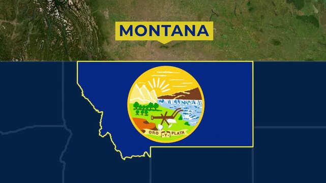
Satellite map animation of Montana USA. Blinking territory, state flag, pinned name, animated outline of the border. Concept for broadcast, social media, education.
00:07
HD
Blue Lasso icon isolated on blue background. 4K Video motion graphic animation
00:11
HD
Animated  golden vintage frame design. Antique label. For wedding or retro movie.
00:20
HD
France territory marked with a cool blue outline on a 3D satellite terrain map, animated with a smooth orbital camera rotation around western Europe
00:13
HD
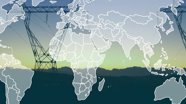
On start faint world map appearing borders tracing shifting west framing towers showing power grid
00:09
HD
Aerial view of Dolina Juraniowa, Bobrowiecka Przełęcz, and Jamborowy Wierch shrouded in mist and clouds in summer, Western Tatras
00:17
HD
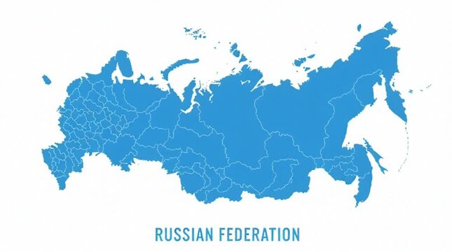
Blue Map of Russian Federation with Regions on White Background
00:05
HD
Belgium map animation, Europe country border outline, Belgian geography silhouette, national territory shape, political map graphic, Western Europe location
00:10
HD
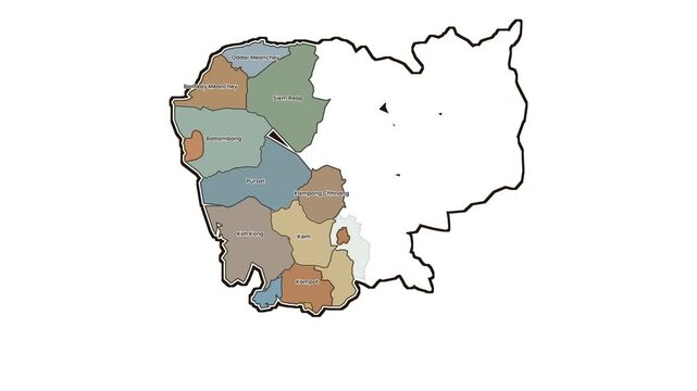
Map of cambodia with highlighted western provinces, motion graphics of map, map of country
00:10
HD
Aerial southwest red rock desert cliff cedar trees. Southwest Utah near Arizona border. Location of many western movies. Arid mountain valley landscape. Many national parks in area.
00:30
HD
A roadside sign welcomes visitors to Colorado.
00:06
HD
arid desert mountains.
Aerial view from drones to dry mountains. Vast open desert landscape. Clay mountains
Earth destroyed by erosion and global warming - concept of ecological problems 4k footage
00:09
HD