A link to set your password has been sent to: To access your purchases in the future you will need a password.
Create without limits — unlimited downloads, plus powerful AI editing
New filters added
Sort by

3,395 results for storm map in videos

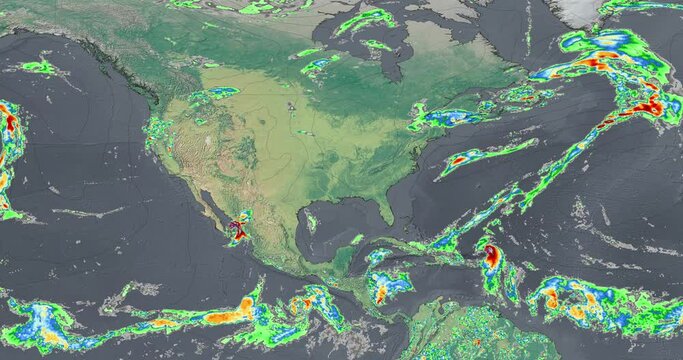
The weather map recreates intense rainfall over North America, the storms show the progress of rain patterns in the region.
00:10
HD
Falling raindrops footage animation in realtime on dark black background with fog, lightened from top, seamlessly looped rain animation, perfect for film, digital composition, projection mapping
00:36
HD
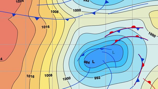
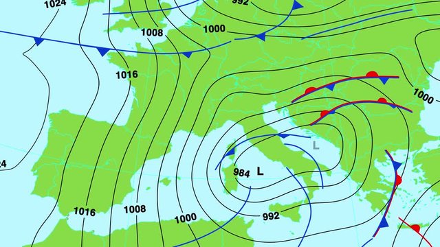
Animated weather forecast map with isobars, cold and warm fronts, high and low pressure systems and temperature color bands. In 4K and HD.
00:27
HD
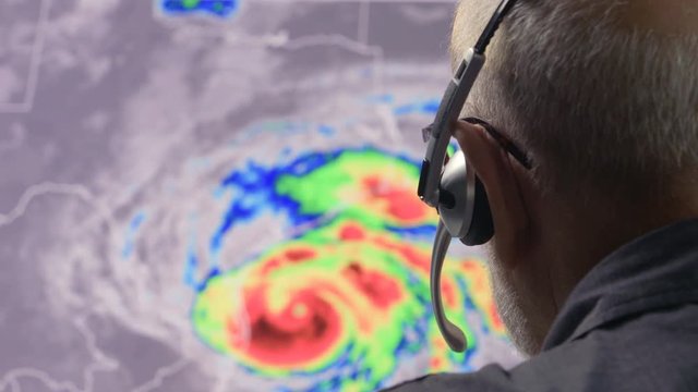
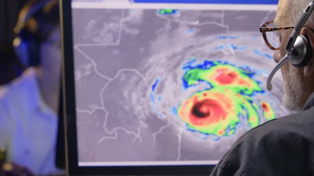
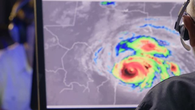
Weather man tracking a tropical storm on  computer screen
00:28
HD
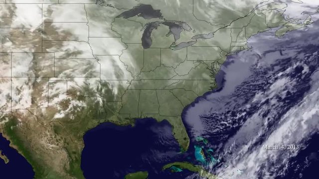
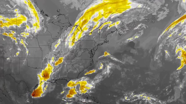
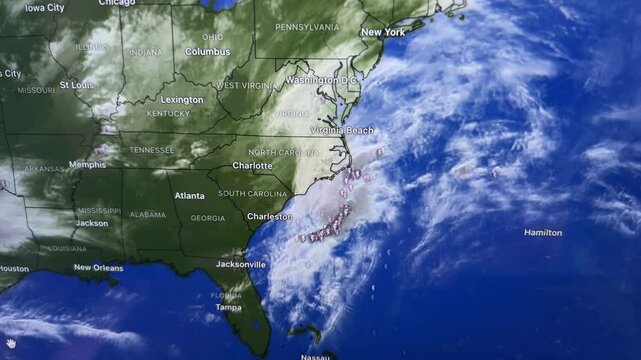
A weather map shows various storms passing the East Coast of the US.
00:19
HD
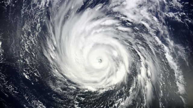
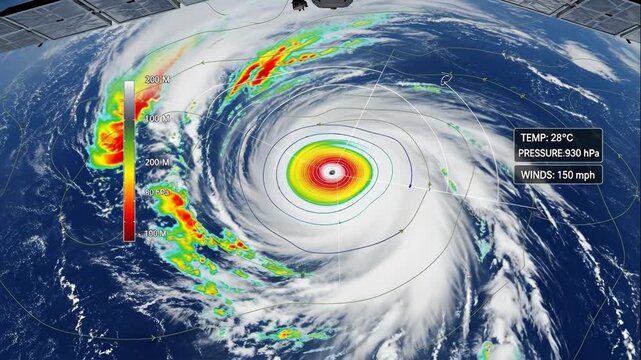
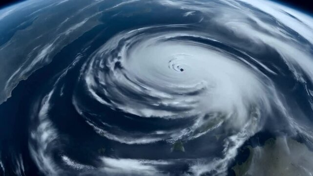
Animation of Giant hurricane seen from the space. Elements of this image furnished by NASA
00:15
HD
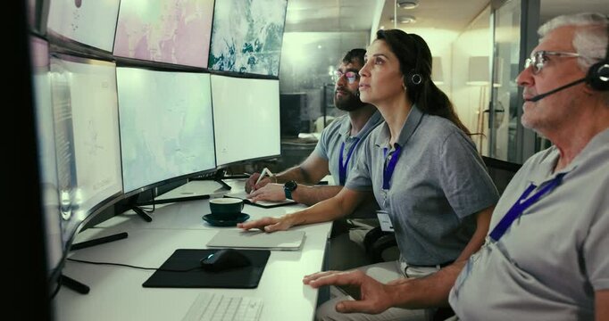
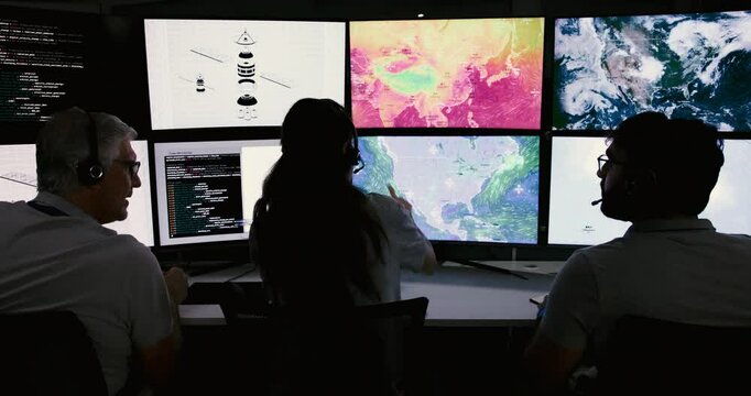
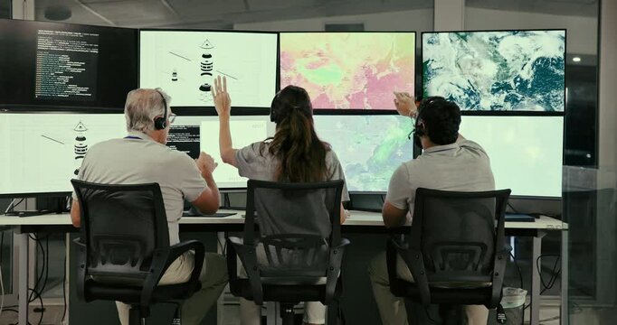
Talk, computer and screen with people in control room to monitor weather, climate change and advice. Back, information and staff with satellite update, study storm pattern and disaster surveillance
00:06
HD
Hurricane's Eye: Satellite View of a Powerful Cyclone
00:05
HD
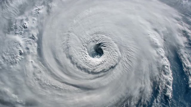
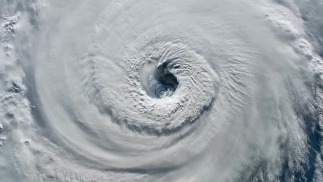
Satellite view.Timelapse animation of the eye of the hurricane Florence over the Atlantics close to the US coast . Elements of this image furnished by NASA.
00:17
HD
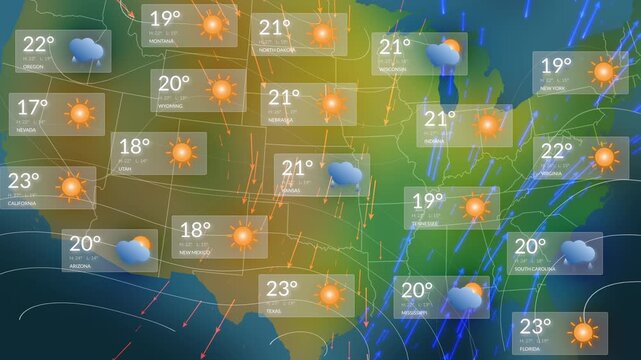
Comprehensive USA Weather Forecast Map Animation Showing All States With Temperature Readouts, Sunny and Rainy Icons, Animated Precipitation Streaks, and Directional Wind Arrows for TV Meteorology.
00:19
HD
Hurricane. 2 videos in 1 file. Huge hurricane seen from space.
00:17
HD
Map Radar South Coast USA
00:40
HD
Weather Radar Digital Satellite Map (Western US)
00:24
HD
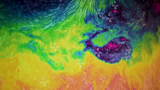
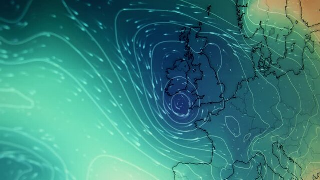
Weather visualization jet stream winds pressure lines  Europe Iceland low pressure North Atlantic computer screen Moving camera shot Weather wind satellite view map Precipitations temperature
00:17
HD
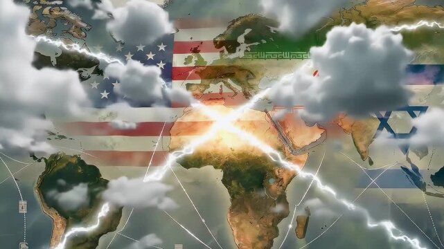
America, iran, israel flag over world map showing dark storm cloud lightning strike bright explosion representing global military conflict economic crisis geopolitical war tension middle east
00:08
HD
Weather Map and Storm - 3D Rendering
00:10
HD
Dashboard interface displaying environmental emergency stats
00:10
HD
map with storm system, thermal overlay, global warming and extreme weather.
00:11
HD
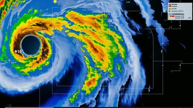
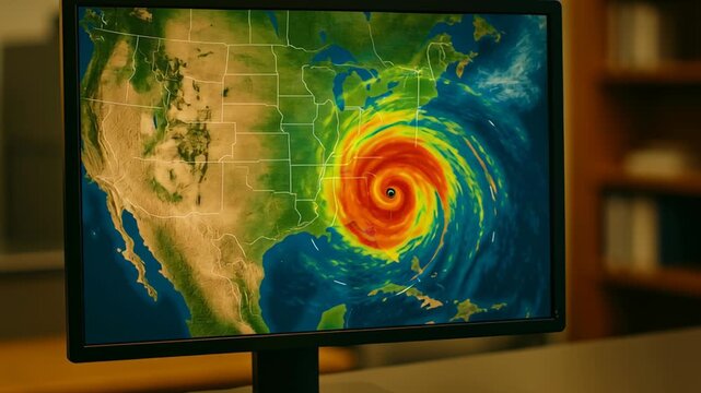
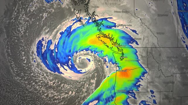
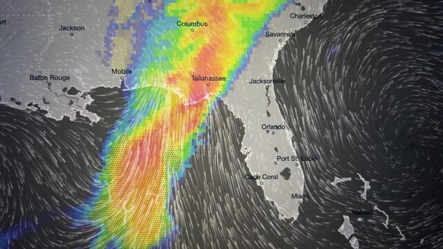
Climate data visualization. Hurricane weather map computer monitor showing storm approaching southeastern and eastern United States with vivid colors
00:05
HD
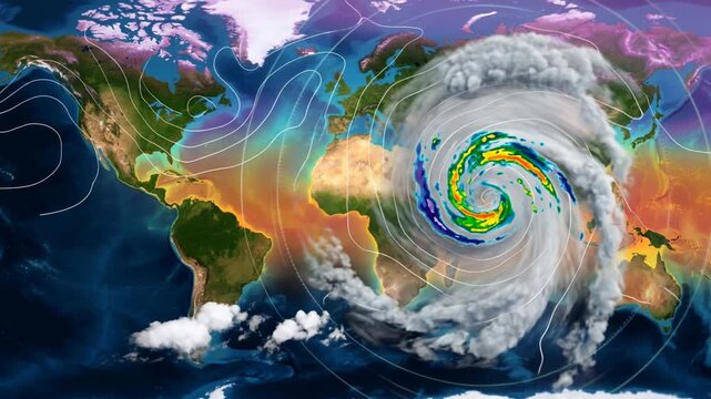
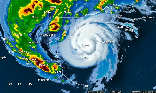
Global satellite view of a powerful hurricane with detailed weather data. Climate change and extreme weather event monitoring. Global warming footage.
00:08
HD
The weather map recreates intense rainfall over World, the storms show the progress of rain patterns in the region.
00:09
HD
Realistic falling rain on gren skin background, heavy rainfall storm effect, seamlessly looped rain animation, perfect for film, digital composition, projection mapping
00:20
HD
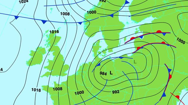
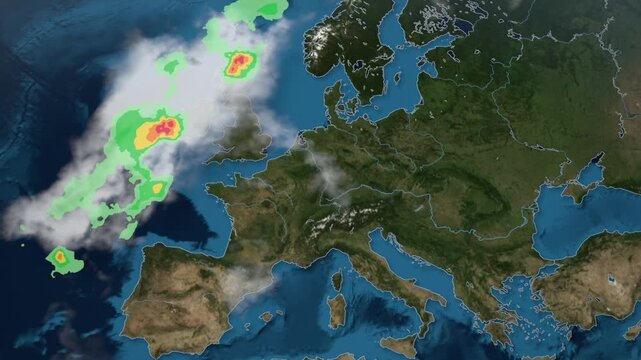
Animated weather forecast map of central and south Europe (Great Britain, Germany, France, Italy, Spain etc) with isobars, cold and warm fronts, high and low pressure systems. In 4K and HD.
00:27
HD
Weather professional monitoring hurricane activity on computer screen
00:26
HD
Multispectral storm mapping data visualization: scientific weather analysis and atmospheric research motion
00:10
HD
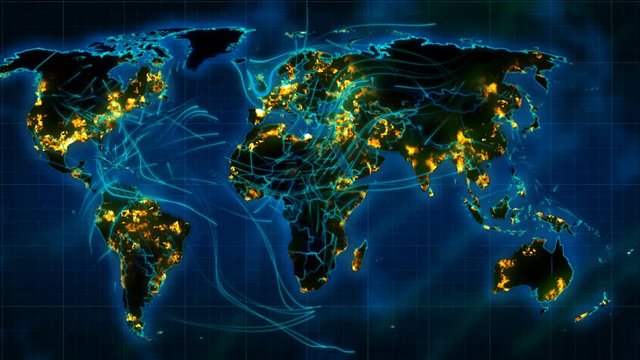
Impressive 3d rendering of the weather world map with illuminated cities, dark green forests, blue oceans and seas, moving lines of winds and hurricanes
00:30
HD
People, computer and screen with satellite in control room, monitor weather and climate change. Staff, discussion and online report for forecast update, study storm pattern and disaster surveillance
00:06
HD
Falling raindrops footage animation in slow motion on dark black background with fog, lightened from top, seamlessly looped rain animation, perfect for film, digital composition, projection mapping
00:36
HD
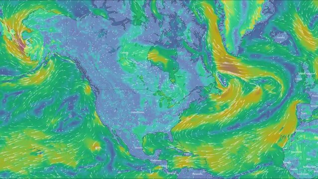
Map of the direction of wind currents on the continent of America. Color infographic. The movement of the winds. Warm and cold zones. Atlantic Ocean. Coastline. Weather forecast. Formation of storms a
00:08
HD
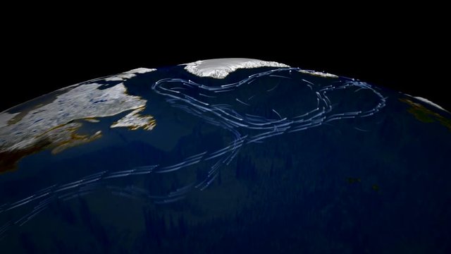
Main ocean currents of the World Ocean. Animation of currents of the World Ocean.
00:45
HD
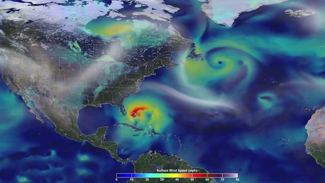
Animation of the speed wind in US. A hurricane approach to the east coast. Elements of this image furnished by NASA
00:28
HD
Wind Movement Map in Europe, Loop Video
00:33
HD
Weather Radar Digital Satellite Map (Mid-West)
00:24
HD
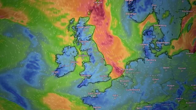
Fierce winds and heat map over Atlantic ocean. Camera shot of a computer screen.
00:21
HD
Engineer, control room and team monitor satellite maps to track storm weather pattern, problem and disaster. Meteorologist, climate scientist or people on computer for global warming and hurricane
00:07
HD
Hands use a smartphone weather map in close up. The screen shifts across Europe and Ukraine with forecast layers and location markers. Mobile climate tracking and travel planning concept..
00:15
HD
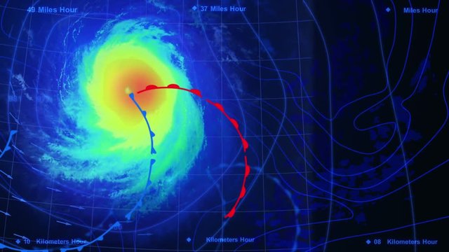
Meteorologist tracks hurricane intensity. National weather service office monitors storm data. Real time wind speed pressure maps. Emergency response team analyzes crisis situation.
00:10
HD
Satellite view of a weather radar map displaying a colorful storm system over a large geographical area — vivid colors, digital screen style
00:05
HD
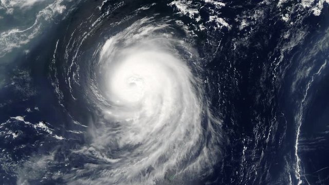
hurricane spinning in ocean from satellite from above. eye of a large typhoon. hurricane in the ocean. hurricane storm, tornado, satellite view
00:14
HD
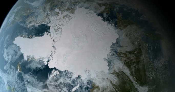
Orbiting over North Pole 3D Animation 4k
00:13
HD
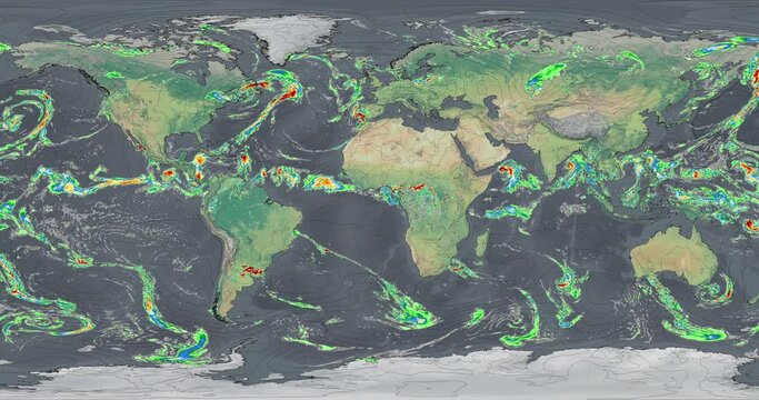
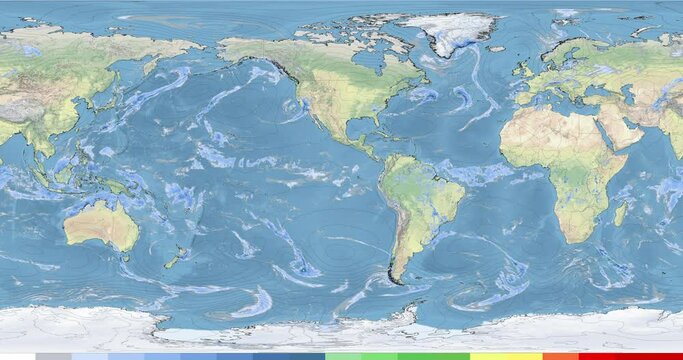
Meteorological map displays precipitation  and atmospheric pressure across the world. The precipitation data is depicted using color gradients. Atmospheric pressure is represented by contour lines.
00:12
HD
Weather Map News Intro Graphic
00:30
HD
Animated weather forecast map of central and north Europe (Great Britain, Germany, France, Scandinavia etc) with isobars, cold and warm fronts, high and low pressure systems. In 4K and HD.
00:27
HD
Weather professional monitoring hurricane activity
00:29
HD
A Nor'easter storm forms in 2012.
00:18
HD
Animated weather map showing precipitation across New York, Vermont, New Hampshire, Massachusetts, and Connecticut.
00:13
HD
Weather Forecast Report Opening Intro. HUD with Text And Videos. Breaking News, Communication, Danger Notification.  News Station Broadcasting. All videos included in my portfolio.
00:08
HD
Weather Alert Template. Weather radar, Wind, Critic Flow Patterns And Tropical Cyclone Tracks on Horizontal Red Background. Alert Notification Concept with Different UI Elements HUD. US map
00:15
HD
View from orbit of Super Typhoon Faxai, the strongest named storm of  2001. Image: NASA.
00:20
HD
Striking 3d rendering of the communication world map with illuminated towns and villages, dark green forests, blue oceans and seas, moving liason lines, connecting people
00:30
HD
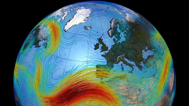
Graphic representation of winds on the surface of the planet Earth. The Polar jet stream in the north hemisphere and Europe.Elements of this image furnished by NASA
00:49
HD
Storm Clouds on the US East Coast, Loop Video
00:18
HD
Weather Radar Digital Satellite Map (Midwest - Southeast US)
00:24
HD
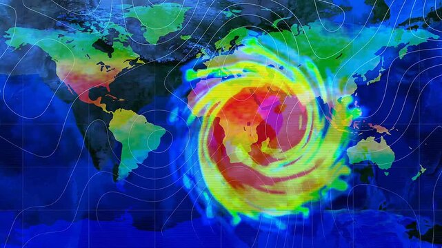
Colorful world map with hurricane vortex, isobars, and temperature gradients across oceans and continents.  Meteorology, climate risk, disaster forecasting, and weather analytics motion graphics.
00:06
HD
People, control room and group monitor satellite maps to track storm weather pattern with back. Rocket system, engineer and launch team on computer screen with ai code, data or explore space at night
00:05
HD
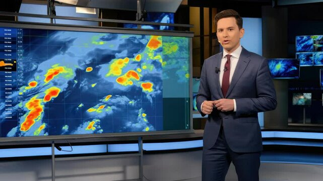
Weather forecast presentation showing meteorologist explaining storm system movements on large screen
00:10
HD
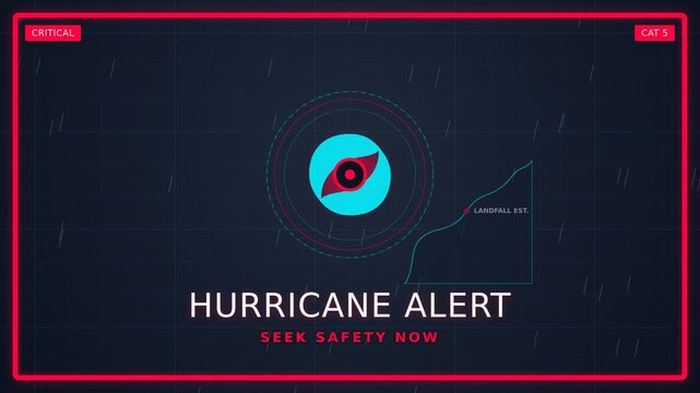
Hurricane alert animation with radar map and rotating storm spiral. Red alert frame locking coastal silhouette. Motion graphics for weather warning broadcast and social media

00:06
HD
Falling raindrops footage animation in realtime on black background, black and white luminance matte, seamlessly looped rain animation, perfect for film, digital composition, projection mapping
00:30
HD
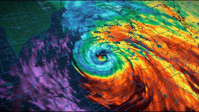
hurricane view from space. hurricane spinning in ocean from satellite from above. eye of a large typhoon. hurricane in the ocean. hurricane storm, tornado, satellite view
00:14
HD
Map of the direction of wind currents. Color infographic. The movement of the winds. Warm and cold zones. Planet Earth. Weather forecast. Formation of storms and hurricanes.
00:08
HD
The weather map recreates intense rainfall over Europe, the storms show the progress of rain patterns in the region.
00:10
HD
United States map in American flag colors with lightning strikes during a dramatic storm conceptualizing national power and energy
00:10
HD
Animated weather forecast map on light blue background with isobars, cold and warm fronts, high and low pressure systems. In 4K and HD.
00:27
HD
Weather forecast map of Europe, rain clouds and storm radar moving east as city temperatures appear
00:15
HD
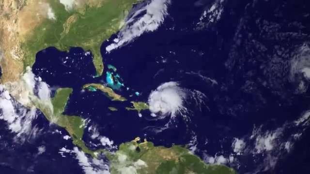
A weather map tracks Hurricane Irene as it crosses the Caribbean in 2014.
00:06
HD
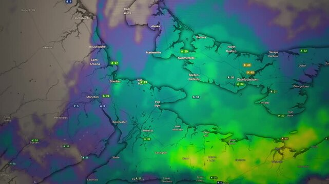
Animated Weather Map with Snow and Rain Over Eastern Canada Cities
00:35
HD
Top view animation hurricane with storm clouds from space. Tornado Storm in slow motion
00:13
HD
Weather forecast, wind, and storms on a weather map. Meteorological map showing precipitation, weather, and wind. Weather forecast.
00:11
HD
Catastrophe mapping visualization showing glowing neon spiral storm systems with digital radar interface charts and atmospheric weather metrics presented on a dark navy glowing monitor display
00:06
HD
4K Satellite view from space. Timelapse animation of the eye of the hurricane
00:10
HD
Time lapse animation simulated surface carbon monoxide concentration to study greenhouse effect. Equirectangular projection . Elements of this image furnished by NASA
00:12
HD
Hurricane Map On US Coast
00:09
HD
Weather Radar Digital Satellite Map (S. California)
00:24
HD
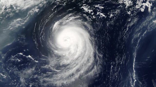
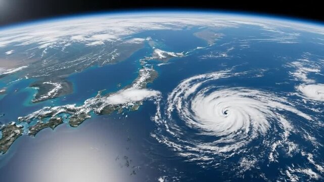
View of the Earth from space shows a large hurricane over the ocean near Japan.
00:07
HD
People, control room and group monitor weather pattern on satellite maps to track storm with back. Meteorologist, climate scientist and team on screen with data, telemetry and code for global warming
00:06
HD
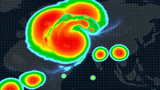
Animated weather radar interface displaying a swirling heat map storm over a dark grid, illustrating global meteorology and climate change concepts.
00:06
HD
A magical storm revealing a floating island on an ancient map
00:05
HD
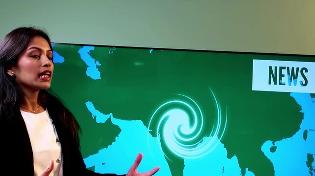
Indian female news reporter presenting a cyclone weather report beside a large LED TV displaying a map of India with cyclone formation and storm tracking graphics.
00:22
HD
Meteorologist analyzing radar forecasting data with weather screen and hurricane map showing severe weather prediction and storm tracking concept
00:05
HD
Pressure Cyclone Wind Europe. Shot of a computer screen monitor. Pixels visible. Moving camera shot of a computer screen. Weather wind satellite view map. Precipitations, temperature, air pressure.
00:21
HD
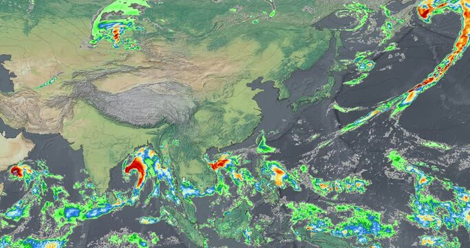
The weather map recreates intense rainfall over Asia, the storms show the progress of rain patterns in the region.
00:10
HD
Futuristic ai lightning strike prediction monitor screen with storm cell tracking grid, weather radar data, model confidence metrics for advanced meteorological analysis
00:20
HD
Animated weather forecast map on chroma key green screen background with isobars, cold and warm fronts, high and low pressure systems. In 4K and HD.
00:27
HD
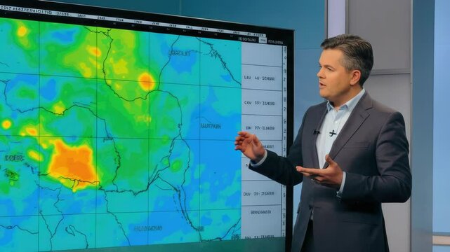
Male presents weather forecast with large digital map
00:10
HD
Satellite image showing the path and intensity of Hurricane Barbara with surrounding weather systems
00:10
HD
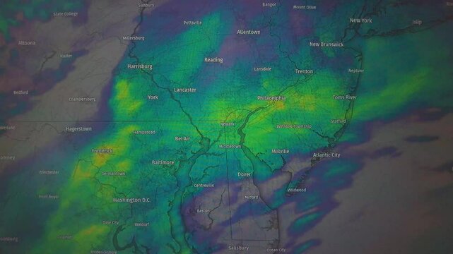
Animated weather map showing Mid-Atlantic region, color-coded precipitation. Static camera view.
00:13
HD
panorama environment dramatic cloud projection sea bright dark 360 high rendering blue black beautiful background map 3d equidistant hdri stormy resolution
00:09
HD
Meteorological map showing precipitation, weather, and wind. Weather forecast, synoptic map. Weather forecast, precipitation on the weather map, storm.
00:10
HD
Catastrophe mapping display shows multiple spinning storm vortex simulations with numerical pressure data and rotating circular graphs isolated on a dark digital interface during scientific analysis
00:06
HD
A weather map tracks Hurricane on world map. Hurricane or windstorm forecast animation on world map as seen on weather radar and satellite screen. A weather map over Europe
00:10
HD
Satellite view.Timelapse animation of the eye of the hurricane Florence over the Atlantics close to the US coast . Elements of this image furnished by NASA.
00:17
HD
Map Movement of Thunderclouds, South Coast of the United States, Loop Video
00:32
HD
Weather Radar Digital Satellite Map (Gulf)
00:24
HD
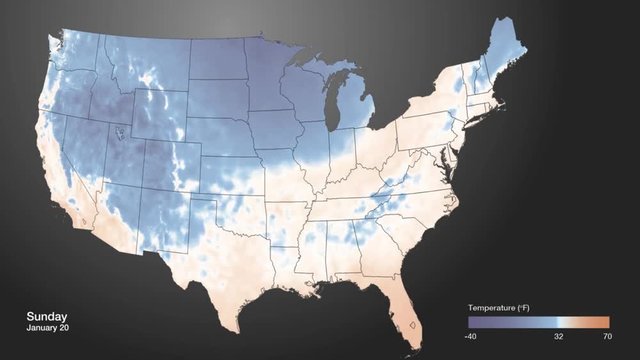
An extreme cold front moves into the American midwest.
00:38
HD
People, control room and group monitor system on satellite maps to track storm weather pattern. Rocket, engineer or launch team on computer screen with ai code, data or brainstorming to explore space
00:05
HD
A man intently watches a massive screen displaying a swirling hurricane map in a high-tech control room.
00:05
HD
Man, monitors and computer with weather analysis and hurricane tracking for research, climate and science. Data, forecasting and meteorology with screen for digital map, analysis
00:10
HD
Indian female news reporter presenting a cyclone weather report beside a large LED TV displaying a map of India with cyclone formation and storm tracking graphics.
00:25
HD
A hurricane weather tracking system shows a forming hurricane off the coast of Florida as its size increases to hit the entire eastern seaboard..
00:15
HD
Strong winds over north Europe Pixels visible Moving camera shot of a computer screen. Weather  wind satellite view map. Precipitations, temperatures, air pressure.
00:29
HD