A link to set your password has been sent to: To access your purchases in the future you will need a password.
Create without limits — unlimited downloads, plus powerful AI editing
New filters added
Sort by

1,115 results for springfield mo in videos

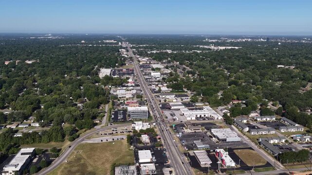
Drone footage along Historic Route 66 in Springfield, Missouri, featuring commercial businesses, traffic, and a prominent city water tower.
00:29
HD
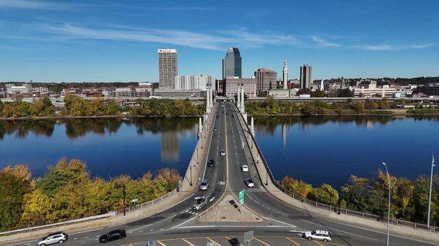
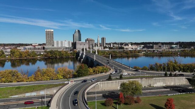
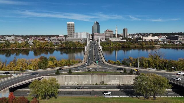
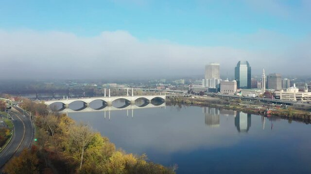
Springfield Massachusetts Downtown Skyline and River Reflection 4K Aerial Drone Video
00:16
HD
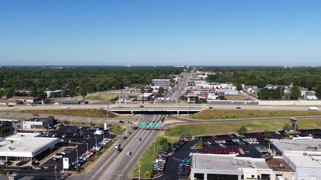
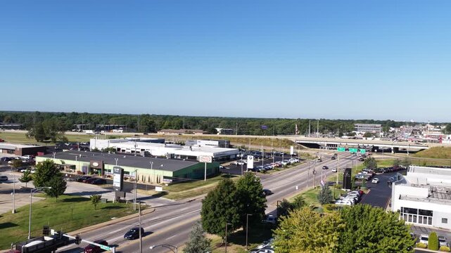
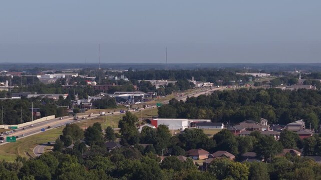
Aerial of highway 65 interchange and suburban development in Springfield Missouri with overpass and parking lots
00:12
HD
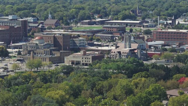
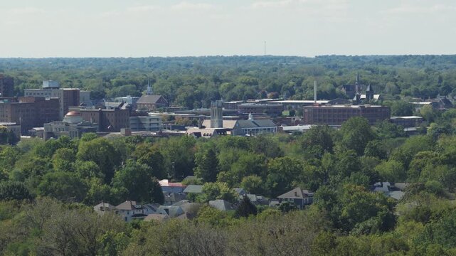
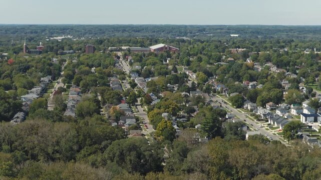
Aerial drone establishing shot of rural downtown area of Springfield, OH small town near central Ohio with city center buildings, businesses, homes, neighborhood, and country side landscape above view
00:10
HD
Springfield, Illinois, USA Downtown City Skyline
00:19
HD
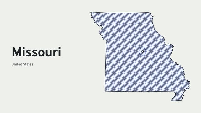
Missouri state map draws itself in ink with blue diagonal shading, county boundaries and Jefferson City marked
00:10
HD
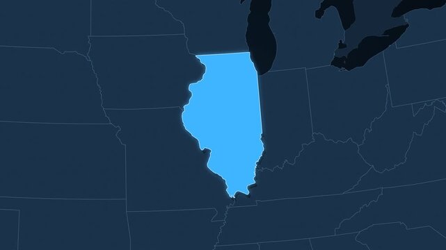
Illinois highlighted on a map of the United States with glow
00:12
HD
Earth Zoom In to Springfield Missouri United States from Space Animation
00:20
HD
Earth zoom in from space and focus on Springfield, Missouri, USA. Background for travel intro or blog. Satellite view. 3D style Animation. Images from NASA.
00:26
HD
Earth Zoom Animation to Springfield Massachusetts with Geographic Data Overlay
00:20
HD
Springfield, Massachusetts (City of Firsts & Pioneer Valley Connecticut River) Animated 4K Statistical Block Density Diffusion - Shades of Blue Choropleth Housing & Population Map
00:10
HD
Illinois Map Animation Locator Zoom 4K Motion Graphic
00:15
HD
Moving vehicle perspective entering a modern Midwest university campus past contemporary brick buildings and directional signs. Captured at University of Illinois Springfield.
00:15
HD
Illinois flag waving in the wind 4K animation background
00:13
HD
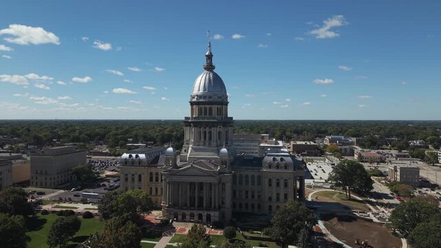
Illinois State Capitol drone clip with downtown in the background
00:43
HD
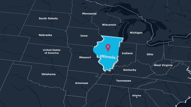
Animated Springfields blue illinois capital map, outlined in black, features a playful location pin, ideal for travel guides, maps, and presentations.
00:06
HD
Missouri state map animation, camera zooms from USA map into 3D Missouri, county borders, capital Jefferson City pinned, major cities Kansas City, St. Louis, Springfield, US state map infographic
00:10
HD
Wild yellow celandine blooming in lush green meadow during springtime
00:10
HD
Illinois Word Cloud
00:11
HD
3D looped animation of city - Springfield Massachusetts, USA
00:20
HD
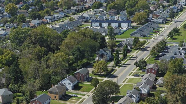
Drone footage of a residential neighborhood near the Rail Haven area in Springfield, Missouri, featuring tree-lined streets, homes, and urban greenery.
00:20
HD
Springfield Massachusetts Memorial Bridge Spire Detail 4K Aerial Drone Video
00:15
HD
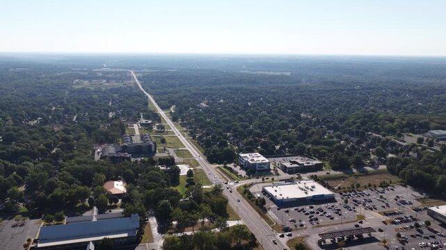
Aerial of suburban commercial and residential area in Springfield Missouri with a major road running through dense forest and commercial shopping centers
00:14
HD
Aerial drone establishing shot of rural downtown area of Springfield, OH small town near central Ohio with city center buildings, businesses, homes, neighborhood, and country side landscape above view
00:22
HD
Crime Filler Shot - Cinematic Alaska State Highway Sign - Anchorage
00:09
HD
Ink outline of Illinois between Lake Michigan and the Mississippi, cobalt hatching, county grid and Springfield pin
00:10
HD
silhouette of springfield illinois city view
00:11
HD
Earth Zoom In to Springfield United States Satellite Map Animation
00:20
HD
High angle establishing aerial of the Illinois state capitol in Springfield, Illinois.
00:14
HD
Digital Animation Zooming into Springfield Illinois on a Rotating Earth Globe
00:20
HD
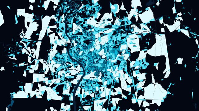
Springfield, Illinois (Land of Lincoln Capital & Lake Springfield Basin) Animated 4K Demographic Block Mosaic Expansion - Blue Choropleth Spatial Data Science & City Grid
00:10
HD
Aerial of Springfield, Massachusetts, United States with beautiful soft light 4K
00:12
HD
Vehicle point of view shot driving along a paved access road approaching a small university campus in the distance. Captured at University of Illinois Springfield.
00:15
HD
Illinois Supreme Court Building in Springfield, IL on a Snowy Day
00:59
HD
Illinois State Capitol drone shot
00:27
HD
Earth zoom in from outer space to city. Zooming on Springfield, Illinois, USA. The animation continues by zoom out through clouds and atmosphere into space. Images from NASA
00:31
HD
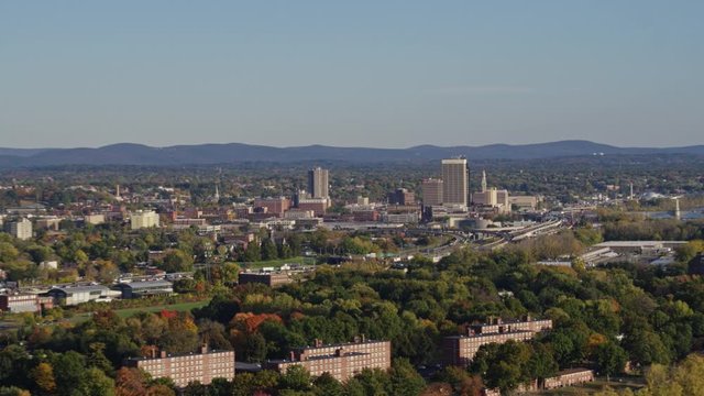
Springfield Massachusetts Aerial v10 Panning around West Side and Brightwood neighborhoods with Connecticut River view - October 2017
00:18
HD
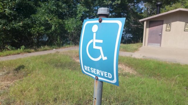
Reserved sign for handicap parking at Fellows Lake
00:10
HD
Traffic along I-91 in Springfield Massachusetts
00:18
HD
Drone close view of Springfield clock tower with skyline and river
00:14
HD
Drone footage of commercial development along Historic Route 66 in Springfield, Missouri, featuring businesses, traffic, warehouses, and urban growth.
00:30
HD
Springfield Massachusetts Downtown Skyline and Memorial Bridge 4K Aerial Drone Video
00:10
HD
Aerial of commercial strip mall and intersection in Springfield Missouri with multiple parking lots and traffic stop
00:13
HD
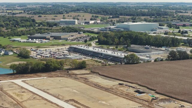
Drone aerial establishing view of large white data center construction being built in central Ohio by Springfield, OH near countryside rural country landscape of tech data building for AI hardware 4k
00:21
HD
Crime Filler Shot - Cinematic Springfield Massachusetts Highway Sign at Night
00:09
HD
Aerial view of multicolored flower fields with long parallel rows in pink, green, white red orange and yellow tones irrigation canals rural farmland, and distant town under clear daylight conditions
00:16
HD
Lincoln Home National Historic Site Springfield Illinois
00:11
HD
Earth Zoom In to Springfield United States Satellite Map Animation
00:20
HD
Aerial of the Illinois state capitol building in Springfield, Illinois.
00:51
HD
3D Earth Zoom Animation to Springfield Missouri with Geographic Data Overlay
00:20
HD
Springfield (MO) 4K High-Detail Census Block Spreading Time-Lapse | Queen City of the Ozarks & Southwest Missouri Plateau Ice-Blue & Cyan Statistical Boundaries Motion Map
00:10
HD
Ruins of Crawford Priory
00:18
HD
Low Angle View of University Stone Colonnade Arch on Campus Quad. Ground-level shot of stone arch on college quad with modern buildings and dynamic clouds behind. At University of Illinois Springfield
00:15
HD
aerial panorama of porters pass in canterbury, new zealand south island; state highway 73 connecting westland with Christchurch; mountain pass in Southern Alps
00:16
HD
Illinois State Capitol drone shot - the drone is backlit by the sun
00:43
HD
Timelapse of the Springfield, Massachusetts downtown 4K
00:08
HD
Springfield Massachusetts Aerial v1 Panoramic view of Springfield cityscape from Brightwood vantage with water views - October 2017
00:12
HD
Springfield at Sunrise, Time Lapse  with Fast Clouds and Dark Silhouette of State Capitol Building of Illinois, USA
00:14
HD
Springfield Lakes in Ipswich City, Queensland, Australia during the day.
00:20
HD
Illinois, state with its capital, zoomed and extruded on the administrative map of United States in the conformal Stereographic projection. Animation 3D
00:08
HD
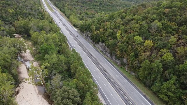
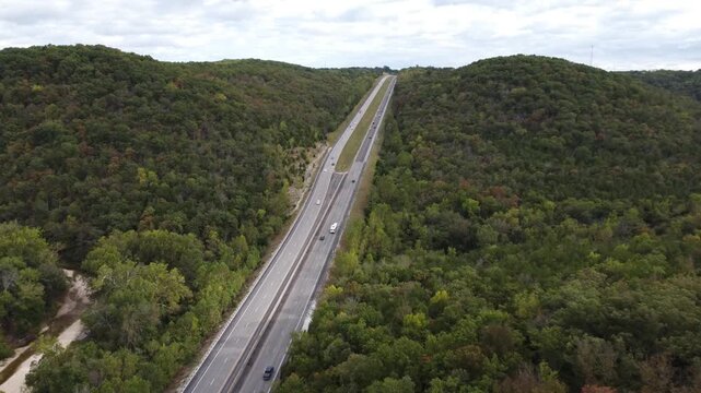
Cinematic drone footage following a major highway as it cuts through the dense forests of Busiek State Forest and Wildlife Area in southwest Missouri
00:29
HD
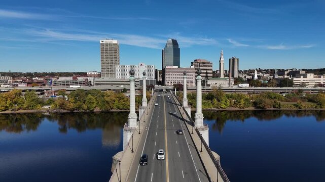
Springfield Massachusetts Memorial Bridge Approach and Skyline 4K Aerial Drone Video
00:15
HD
Aerial of suburban commercial strip and intersection in Springfield Missouri with dense forest canopy surrounding the major thoroughfare
00:14
HD
Drone aerial view of suburban rural neighborhood homes, houses,  neighbors, and family residential units in housing market by central Ohio city town Springfield, OH by countryside roads and streets 4k
00:17
HD
 Crime Filler Shot - Cinematic Alaska State Highway Sign - Fairbanks
00:09
HD
Aerial view of bright red flowering field with parallel rows, green crop lines, geometric agricultural pattern, and expansive rural farmland under clear daylight conditions
00:18
HD
Driving on road near wind farm at sunset
00:18
HD
Earth Zoom In to Springfield United States Satellite Map Animation
00:20
HD
2022 - rising aerial over the burial site of Abraham Lincoln at Oak Ridge Cemetery in Springfield, Illinois, in winter with snow.
00:28
HD
A small rural farming community with barns, homes, and fields under bright blue skies, capturing agricultural life.
00:10
HD
Election Day in Missouri – American Voting, Democracy and Patriotic Background Video
00:15
HD
railway in winter
00:31
HD
Vehicle point of view shot driving along a university campus road past student housing dormitories and directional signage, coming to a stop sign. Captured at University of Illinois Springfield.
00:15
HD
Nature and sunlight at Fellows Lake
00:06
HD
 Illinois State Capitol drone close up
00:39
HD
Earth zoom in from space to Springfield, Massachusetts, USA. Followed by zoom out through clouds and atmosphere into space. Satellite view. Travel intro. Images from NASA
00:20
HD
Springfield Massachusetts Aerial v5 Panoramic scenic view of golf course greens and surrounding residential neighborhood - October 2017
00:14
HD
4K footage of fresh young corn plants growing in a healthy spring field.
00:12
HD
Springfield. Airplane Landing City Skyscraper with Welcome Sign on Bus
00:08
HD
Illinois state map rotating in three dimensional space
00:20
HD
Cinematic drone footage capturing a divided highway passing through a scenic valley within the Missouri Ozarks near Busiek State Forest and Wildlife Area. Surrounded by densely forested hillsides
00:29
HD
Springfield Massachusetts Downtown Skyline and Bridge Approach 4K Aerial Drone Video
00:15
HD
Aerial of suburban highway and commercial area in Springfield Missouri with forest urban areas in summer
00:13
HD
Drone aerial view of suburban rural neighborhood homes, houses,  neighbors, and family residential units in housing market by central Ohio city town Springfield, OH by countryside roads and streets 4k
00:10
HD
 Crime Filler Shot - Cinematic Alaska State Highway Sign - Juneau
00:09
HD
Aerial view of multicolored flower rows with pink, white, purple, red, and green stripes, canal, farming equipment, and rural landscape under clear daylight conditions
00:18
HD
Young green wheat fields evoke spring growth
00:10
HD
Aerial of Springfield, Massachusetts, United States in early morning 4K
00:12
HD
Aerial of the Illinois state capitol building in Springfield, Illinois.
00:47
HD
Missouri Flag in wind
00:24
HD
Old Paper Map of Illinois
00:15
HD
Close-up of the Illinois state flag waving in the wind on a clear day
00:10
HD
Sidewalk View Across Campus Quad. Ground-level shot looking across a grassy quad toward university buildings and colonnade with grass moving in breeze. Captured at University of Illinois Springfield.
00:15
HD
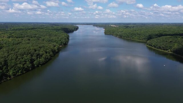
Fellows Lake in Springfield, Missouri
00:10
HD
Illinois State Capitol sunny day
00:39
HD
Illinois State Capitol Close Up Springfield Illinois
00:07
HD
Springfield Missouri Downtown
00:07
HD
silhouette of springfield illinois city view
00:11
HD
Springfield: Time Lapse at Twilight with Colourful Sky and Dark Silhouette of State Capitol Building of Illinois, USA
00:16
HD
Beautiful summer meadow with pink flowers, sun rays and fog, A tranquil springtime meadow in the early morning covered in dew and flower buds, AI Generated
00:08
HD