A link to set your password has been sent to: To access your purchases in the future you will need a password.
Create without limits — unlimited downloads, plus powerful AI editing
New filters added
Sort by

13,035 results for population density in videos

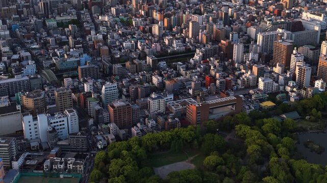
Aerial view of the Sumida River and Tokyo skyline at sunset in Sumida Ward, Central Tokyo, Japan.
00:10
HD
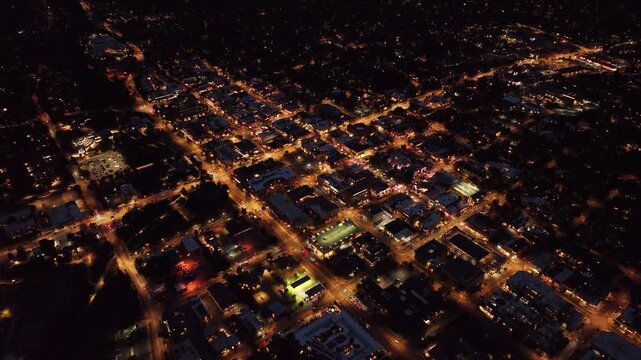
Aerial view of Boulder, Colorado at night
00:09
HD
Wide, comprehensive aerial view showing multi-family apartment complexes, houses, and local utility infrastructure in central Iqaluit.
00:19
HD
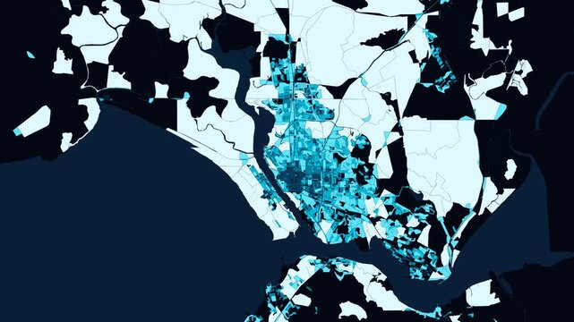
New Bedford, Massachusetts (Whaling City & Buzzards Bay Acushnet Harbor) Animated 4K Demographic Block Mosaic Expansion - Blue Choropleth Metropolitan Growth & GIS Analytics
00:10
HD
Asia, China, Hong Kong, cityscape time lapse of busy shipping cargo container port, with cranes unloading and loading cargo at night
00:23
HD
High angle aerial view of a vast, dense sprawling city with colorful buildings spreading across a wide valley.
00:15
HD
population density dots 3d map scattered people dots assembling into glowing stacked dot towers with migration arcs
00:15
HD
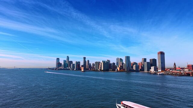
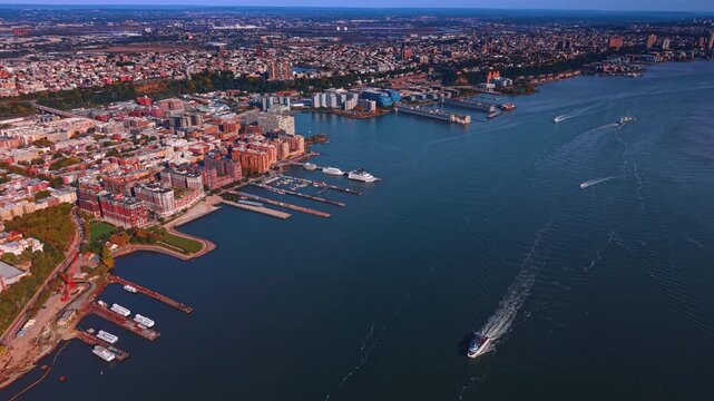
Horizon with modern high-rise skyline between the blue sky and riverscape. A cruise boat appears leaving white wake on the water. Jersey City from the above the waterscape.
00:15
HD
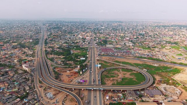
Aerial view of N1 highway interchange crossing a densely populated urban landscape in ghana
00:15
HD
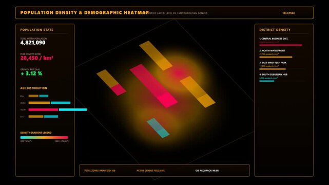
Futuristic Digital Population Density and Demographic Heatmap Interface Displaying Urban Statistics
00:10
HD
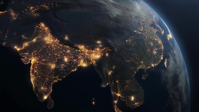
Satellite view of South Asia and Southeast Asia at night showing illuminated cities and population density
00:05
HD
Aerial drone view of a densely populated residential area featuring tightly packed houses and narrow spaces between buildings, highlighting high urban density and
00:19
HD
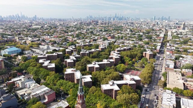
Drone tilts down over Brooklyn apartments and streets
00:23
HD
Isometric 3D data visualization of urban population growth, city density bars rising from the center outward on dark background, demographics and urbanization motion graphic
00:12
HD
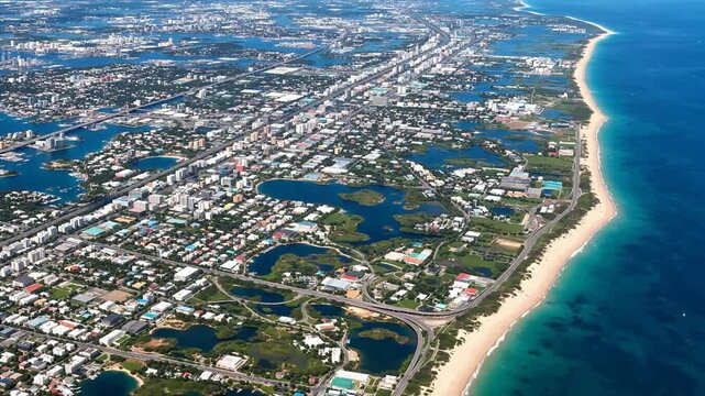
Aerial view of coastal city with beach
00:10
HD
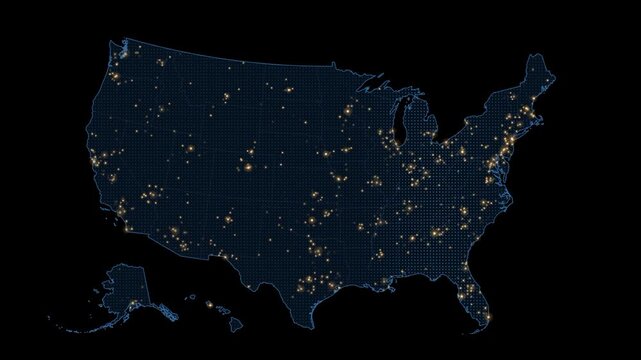
Glowing lights on digital country map representing population density
00:08
HD
Earth Zoom Animation to Maoming China with Population Data Overlay
00:15
HD
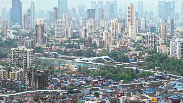
Aerial drone shot tilts down from Mumbai's high-rise skyline and railway station to crowded Dharavi slums and busy roads, showing urban congestion, dense housing and the rich-poor divide
00:25
HD
Slow motion blurred view of people and office workers walking at busy Nathan Road during lunchtime on sunny day. Defocused shot ensures no recognizable faces, clip suitable for commercial usage
00:19
HD
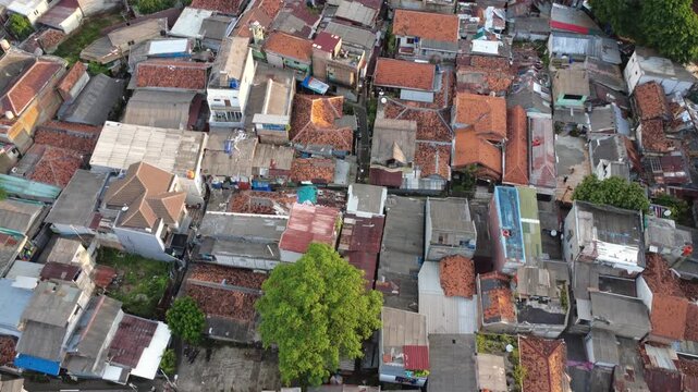
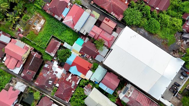
Aerial Drone View of Indonesian Village, Colorful Rooftops, Borneo
00:12
HD
Aerial tilt up shot revealing the Skytree and sprawling Tokyo cityscape, Sumida Ward, Tokyo, Japan.
00:35
HD
Aerial view of downtown Boulder, Colorado at night
00:09
HD
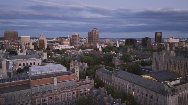
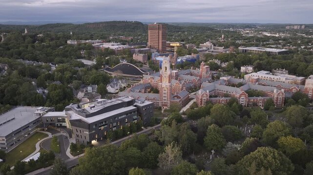
Aerial view of New Haven on an overcast day. Shot in Connecticut during the summer
00:14
HD
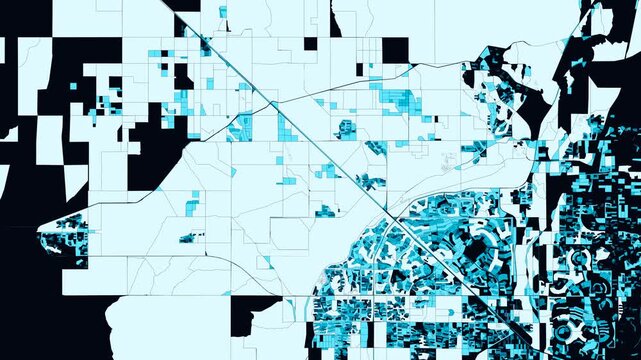
Surprise, Arizona - Northwest Valley Maricopa & White Tank Foothills: Animated 4K GIS Census Subdivision Propagation & Blue Gradient Population Density & Smart City GIS
00:10
HD
Asia, Malaysia, day to night transition time lapse of the Kuala Lumpur skyline and financial district at dusk, showing skyscrapers and the Petronas towers, high angle view
00:22
HD
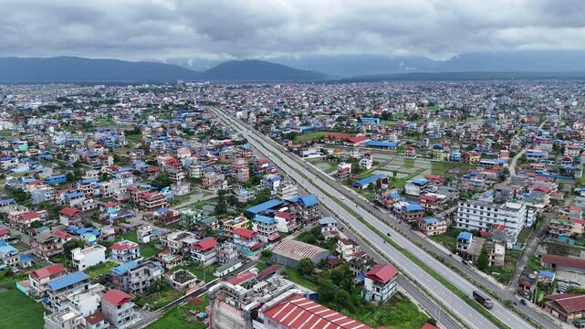
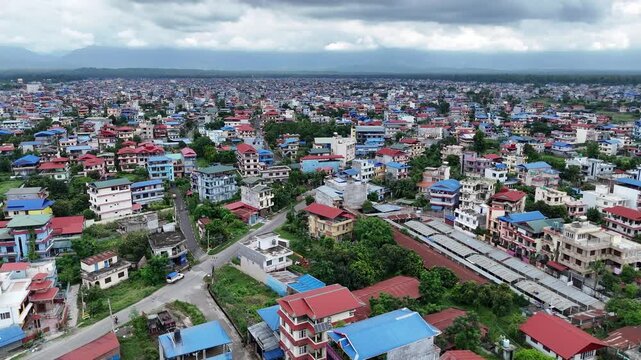
High angle aerial view of a major divided highway cutting diagonally through dense colorful residential neighborhoods in a Nepalese metropolitan basin
00:14
HD
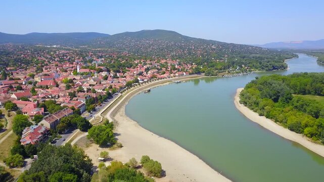
Drought summer of 2022, very low water level at Danube in Hungary, Szentendre with yellow burnt grass and withered trees
00:24
HD
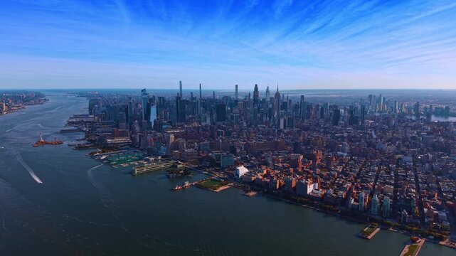
Vast panorama of New York City from above the Hudson River waterscape. Famous Manhattan skyscrapers against blue sky with light cirrus clouds.
00:18
HD
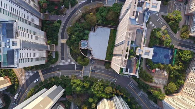
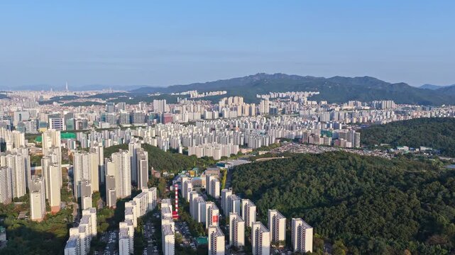
Drone Shot Of Seoul Metropolitan Area Residential and Commercial Districts
00:33
HD
Low Angle Close Up of a 3D Europe Heat Map With Rising Data Bars Cyber Attacks Across European Countries EU Statistics Energy Crisis and Network Hotspots
00:20
HD
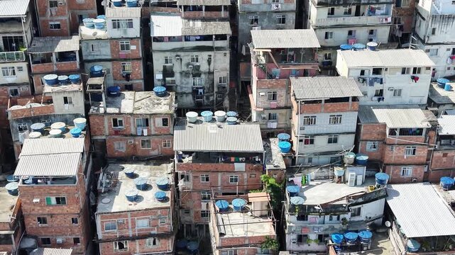
Aerial View of Rocinha Favela in Rio de Janeiro, Brazil
00:24
HD
aerial video of population density and housing conditions of city residents in the highlands
00:19
HD
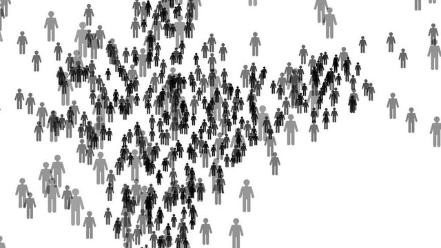
India country population map made up of people figure icons
00:10
HD
Futuristic Digital Global Population Density Interface HUD Motion Graphics
00:10
HD
An orbital view of Africa, Europe, and the Middle East at night, illuminated by city lights and animated glowing lines representing global networks.
00:06
HD
World population day concept. Infographic of human population changes across continents. Overpopulation animation. Population growth. Human population on the planet. World population density map. 4K
00:15
HD
Large urban crowd moving through city street during daytime, symbolizing modern society, daily rush hour, human flow, anonymity, metropolitan rhythm and high population density in public space
00:05
HD
Brooklyn aerial panorama with distant Manhattan skyline
00:20
HD
Aerial View of Dharavi Slums in Mumbai India
00:11
HD
Aerial drone shot tilts up from green mangroves to crowded Dharavi homes and Mumbai's high-rise skyline, showing the contrast between dense settlements, luxury buildings and urban development
00:29
HD
Aerial panning shot of the Sumida River and Tokyo cityscape, Sumida Ward, Central Tokyo, Japan.
00:30
HD
Aerial view of Hampden, Baltimore at night
00:11
HD
Kathmandu, Nepal, drone shot of the densely populated city valley with vibrant house decorations and colorful urban lights during the annual Tihar festival of lights.
00:23
HD
Boulder, Colorado: 4K Census Block Spatial Propagation Across Flatirons Foothills & Boulder Valley Tech Hub - Glowing Cyan Urban Footprint & Population Distribution
00:10
HD
Cityscape day to night transition zoom in time lapse of Nanpu bridge illuminated at night with, with evening time rush hour commuters
00:19
HD
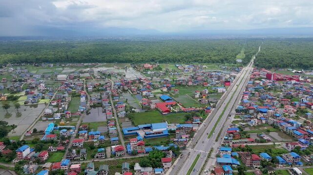
Elevated aerial perspective of a long straight multi-lane highway cutting through a vibrant urban settlement toward a dense green forest in Nepal.
00:13
HD
Aerial drone view of a densely populated residential area featuring tightly packed houses and narrow spaces between buildings, highlighting high urban density and
00:14
HD
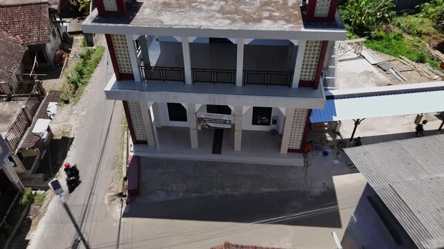
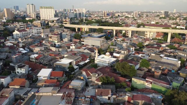
Aerial View of a Large Mosque Surrounded by Dense Residential Houses in a Busy Urban Neighborhood
00:12
HD
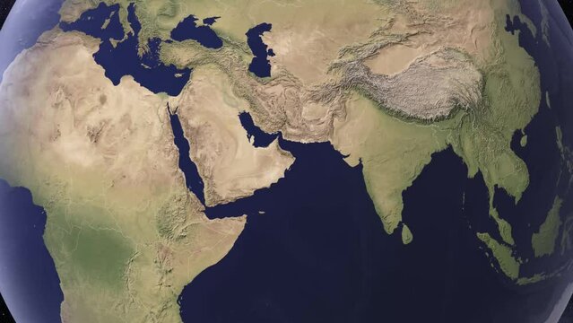
India Map Globe Earth From Space
00:15
HD
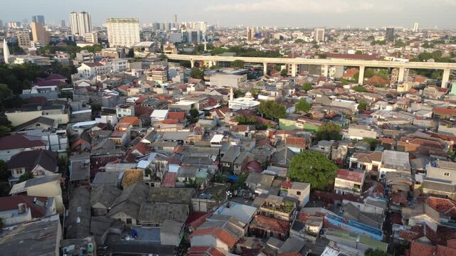
Wide Aerial Drone View of Urban Residential Area and City Skyline 4K
00:12
HD
Multi-storied blocks of flats surrounded by skyscrapers. Aerial perspective on the cityscape of New York crossed by the long straight highway.
00:12
HD
Aerial view of a densely populated coastal slum in the philippines
00:15
HD
United Kingdom country population map made up of people figure icons
00:11
HD
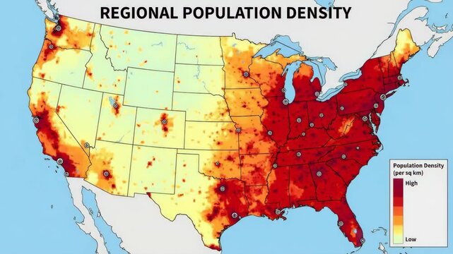
United states population density heat map showing urban concentration and coastal clusters with color key indicating people per square kilometer for regional planning and analysis
00:08
HD
Aerial view of informal housing and shacks in the Du Noon settlement outside Cape Town showing population density and poverty. Table Mountain in back.
00:38
HD
World population day concept. Infographic of human population changes across continents. Overpopulation animation. Population growth. Human population on the planet. World population density map. 4K
00:15
HD
Colorful human icons form and transform the shape of Usa map
00:07
HD
Earth facing overpopulation and environmental strain
00:10
HD
Blurred defocused view of a people walking to work down the Tokyo street, with everyone moving in unison towards their destination. A birds eye view of density of population is overwhelming on city
00:24
HD
Planet Earth surrounded by an immense, dense crowd of people symbolizing overpopulation and human impact on the world. A powerful visual of global population growth
00:10
HD
Aerial view of the Sumida River and Tokyo cityscape, Sumida Ward, Central Tokyo, Japan.
00:29
HD
Aerial view of homes in Long Beach, New York at sunrise
00:14
HD
Telephoto shot revealing downtown Los Angeles behind a glass skyscraper in Southern California. 4K
00:20
HD
Yonkers, New York: 4K High-Detail Census Block Spreading Time-Lapse Across City of Hills & Lower Hudson Riverfront - Blue Gradient Population Density & Smart City GIS
00:10
HD
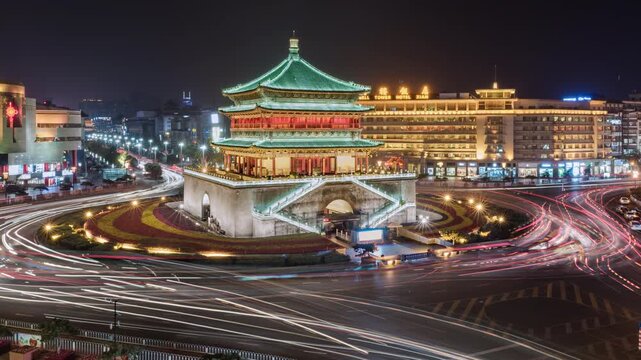
 Asia, China, Xian, zoom out cityscape time Lapse of Xian skyline and Bell tower situated in middle of busy road intersection, with rush hour traffic and commuters at night
00:26
HD
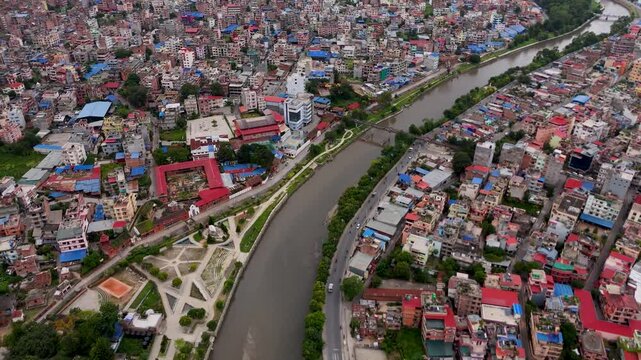
Aerial drone view of a walled river corridor cutting through the dense urban sprawl of a Nepalese city.
00:15
HD
Aerial drone view of a densely populated residential area featuring tightly packed houses and narrow spaces between buildings, highlighting high urban density and
00:19
HD
A high-resolution photo featuring a meticulously detailed map of the entire world, displayed on a dark background, A world map showing global cyber attacks, AI Generated
00:08
HD
Global Connectivity: A Satellite View of Earth at Night Showcasing Urban Lights
00:10
HD
Over Populated World. Human Overpopulation. Growth of the Population. Overpopulation Crisis.
00:30
HD
Germany  Map Background Cities Connections 4K. This project includes a map of the USA with the animated background. There are also animated glowing round connections in different cities on the map.
00:20
HD
Virtual map highlighting Western Europe's contribution to global cyber law frameworks,
00:04
HD
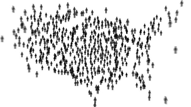
USA country population map made up of people figure icons
00:07
HD
Bokeh view of people at Andheri railway station, Mumbai, India. Blurred background footage.
00:10
HD
Drone Shot Of Seoul Metropolitan Area Residential and Commercial Districts
00:30
HD
World population day concept. Infographic of human population changes across continents. Overpopulation animation. Population growth. Human population on the planet. World population density map. 4K
00:15
HD
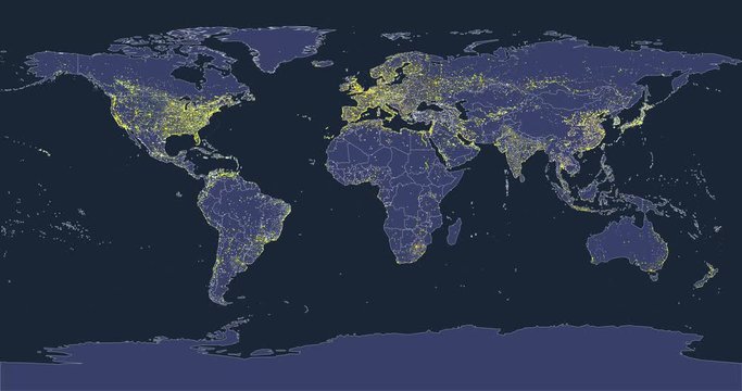
world city lights map animation with silhouettes of continents and country borders
00:14
HD
The map shows illuminated cities across the world at night, highlighting global connections and geographic details
00:10
HD
Aerial view of a densely populated northeastern region at night, highlighting city lights and roadways
00:05
HD
A population density world map focusing on Asia and Europe, highlighting the most populated regions with bright red markers. Clean global visualization with clear geographic detail
00:08
HD
Aerial view of Tokyo cityscape, Sumida Ward, Central Tokyo, Japan.
00:16
HD
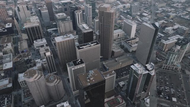
Aerial view of Denver at night
00:07
HD
Drone shot of Yale University. Shot in New Haven, Connecticut on a summer day
00:11
HD
Vallejo (CA) 4K Cadastral & Census Block Outward Propagation | Carquinez Strait Naval Port & North Bay Waterfront Glowing Cyan Urban Footprint & Population Distribution
00:10
HD
Asia, Malaysia, day to night transition zoom in time lapse of the Kuala Lumpur skyline and financial district at dusk, showing skyscrapers and the Petronas towers, high angle view
00:22
HD
Wide aerial view over a densely populated vibrant urban neighborhood featuring colorful rooftops and a paved parking station
00:16
HD
Underwater animation showing kelp forest decline due to purple sea urchin overpopulation density rising to 120k per square meter creating barren and ecosystem collapse loop
00:59
HD
Graphic showing overpopulation around the globe .
00:14
HD
Descend over the Hudson River waterscape with some boats on. Sunny view on vast panorama of New Jersey from drone.
00:11
HD
Flying over Tehran night lights view from space satellite view based on Nasa imagery
00:20
HD
Increasing crowd density walking on a wide city street
00:05
HD
Argentina population density map. Argentina map with an animation camera, glowing round connections in different places and other visual effects.
00:20
HD
Australia country population map made up of people figure icons
00:11
HD
A detailed representation of the world map showcasing bright lights that highlight urban areas and population density. This nighttime view reveals the interconnectedness of global cities.
00:10
HD
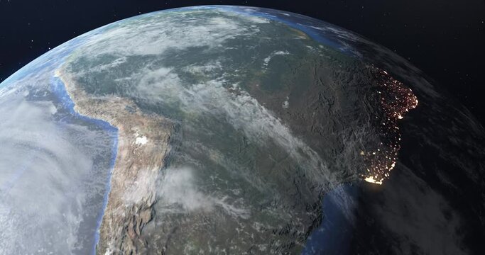
Flight in low Earth orbit at twilight, view from space. The lights of South American cities glow at night to show the concentration and density of population. 3D animation. Contains NASA images.
00:11
HD
infographic, heat map, population, usa - 3D animation
00:15
HD
Overhead defocused view of crowded Nathan Road sidewalk in Hong Kong, filled with walking pedestrians along its entire visible length. This motion emphasizes busy city rhythm
00:28
HD
Thriving urban crowd in busy city street during rush hour with diverse pedestrians and vibrant metropolitan lifestyle forming dynamic social environment
00:10
HD
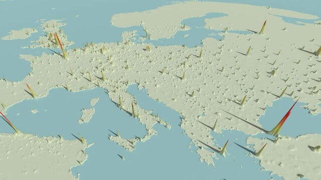
3D Europe Population Density Map (2020)
00:22
HD
A population density map highlighting the region from Australia to Indonesia, with the most populated areas marked in bright red.
00:06
HD