A link to set your password has been sent to: To access your purchases in the future you will need a password.
Create without limits — unlimited downloads, plus powerful AI editing
New filters added
Sort by

1,248 results for noaa in videos

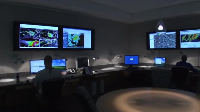
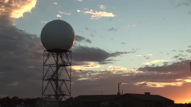
The National Weather Center in Norman Oklahoma.
00:09
HD
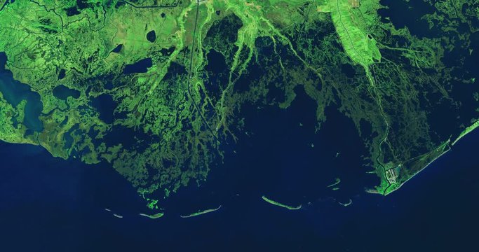
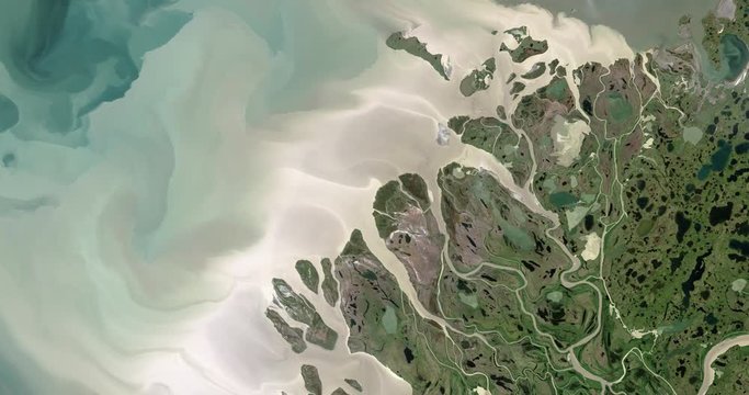
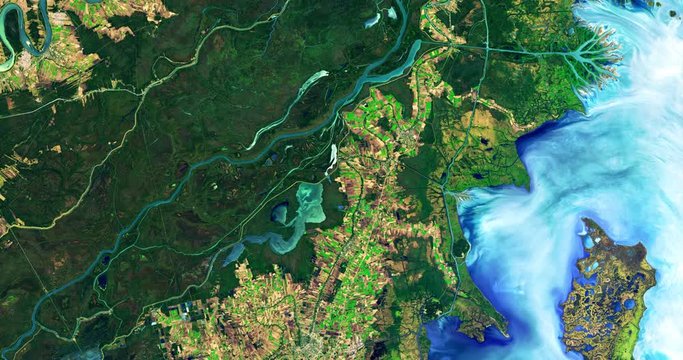
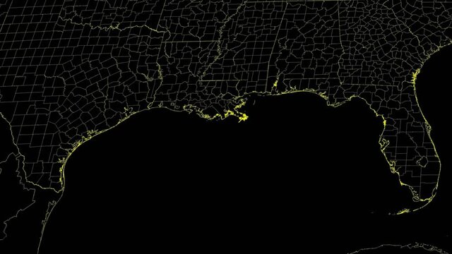
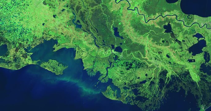
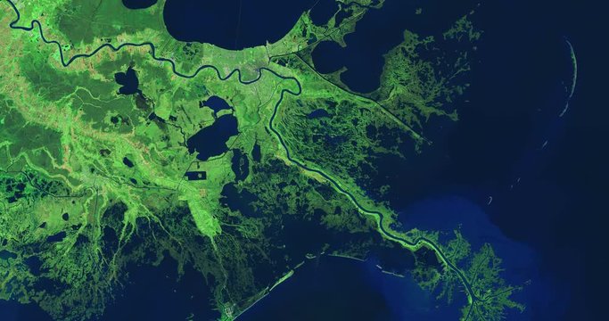
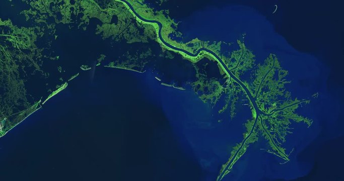
High-altitude overflight aerial of lower Mississippi River and deltas, Louisiana (infrared/green light enhanced). Clip loops and is reversible. Elements of this image furnished by USGS/NASA Landsat
00:31
HD
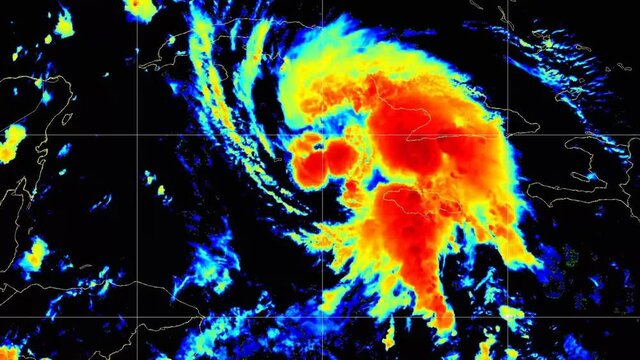
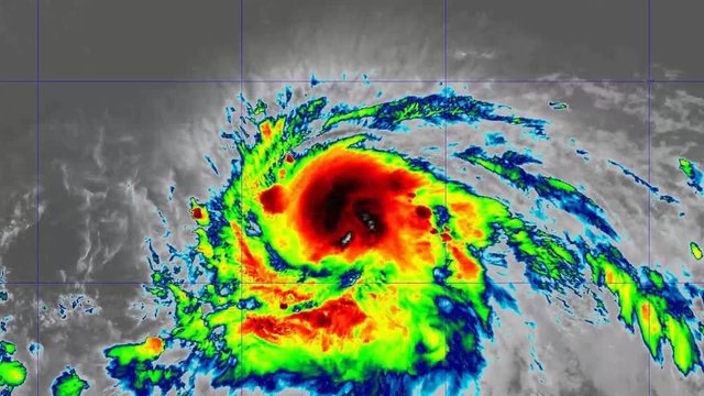
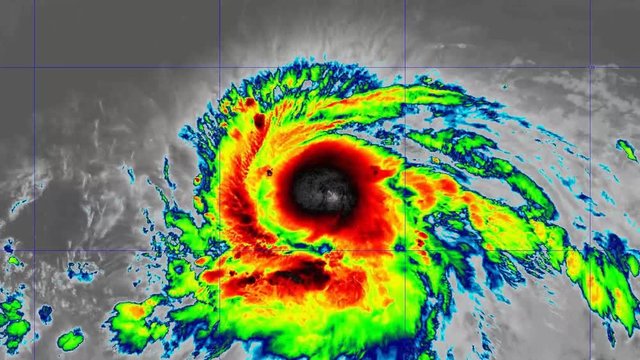
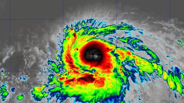
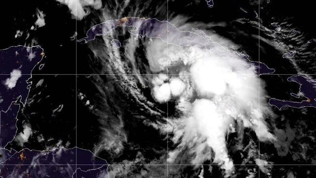
2021 Hurricane Ida time lapse satellite imagery. ("Floater Sandwich" band)
This work was created using data provided by NOAA (NESDIS STAR) which is not subject to copyright protection.
00:35
HD
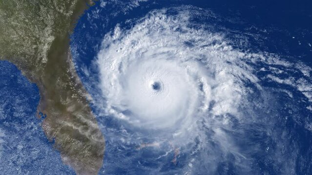
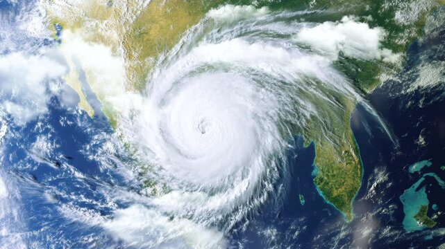
A fictional satellite view of a large hurricane near America's east coastal region, including Florida, Georgia, and the Carolinas. Modified hurricane image courtesy of NOAA.GOV.
00:15
HD
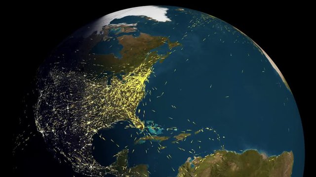
Data/information/traffic/people moving from country to country.  Imagery used with permission from NOAA, Mapping and Animation by Rebus_Prod.
00:07
HD
Command center, all system ready. Situation center.
00:09
HD
NOAA Weather Balloon Radiosonde Ascending
00:10
HD
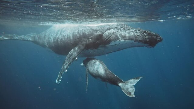
Full Body Shot Of A Humpback Whale Mom Nursing Baby Calf Underwater; Crystal Clear 4K Footage.
00:31
HD
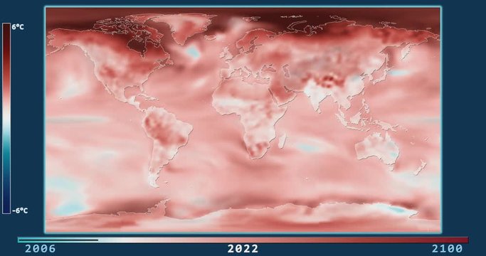
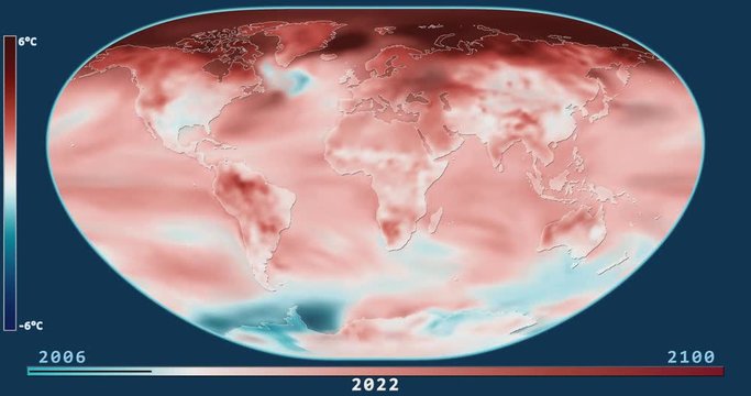
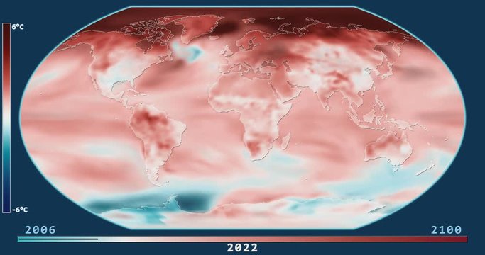
Climate Model: Surface Temperature Compared to 20th Century Average - 2006-2100 (Representative Concentration Pathways 2.6). Patterson projection. NOAA/GFDL dataset ID: 438
00:28
HD
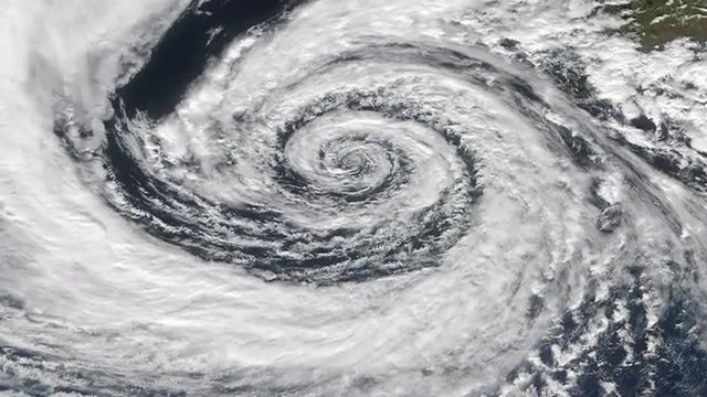
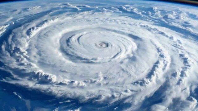
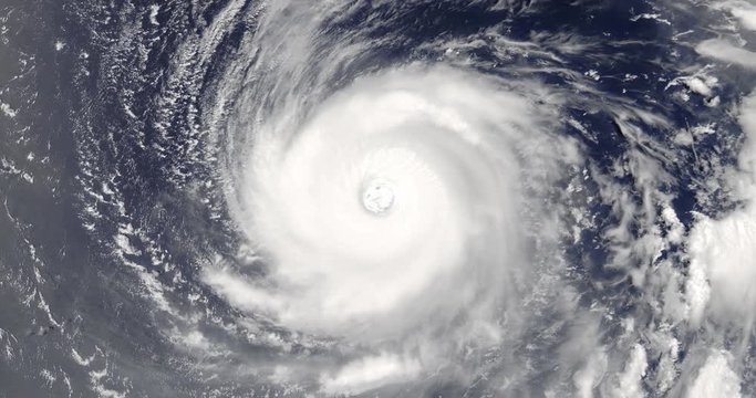
View From Orbit Of Cyclone/Hurricane/Typhoon.
00:12
HD
A large hurricane heads toward the Gulf Coast, bringing potential severe weather and impacts
00:12
HD
AI-generated meteorological video clip of a hurricane spiraling over open sea
00:08
HD
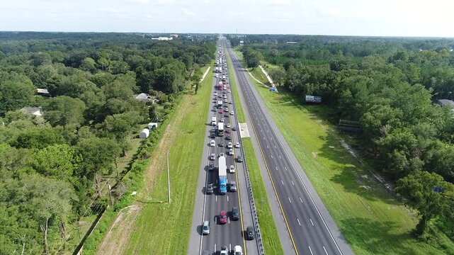
Vehicles leaving Florida as hurricane is on the way. One lane packed while lanes heading towards the area being hit are mostly empty.
00:32
HD
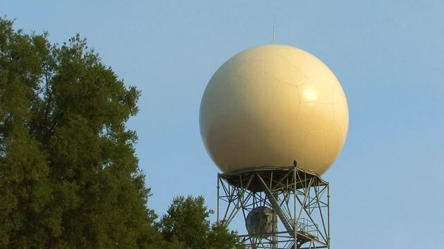
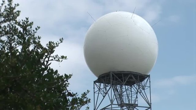
A doppler weather radar dome on a metal tower, sited in among pine trees near the top of Sulphur Mountain in Ventura County, California.
00:11
HD
Hurricane Storm approaches the coastline, showcasing powerful winds and heavy clouds
00:10
HD
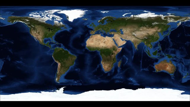
Animated map of the earth showing the snow/ice throughout the year. Seamlessly loops.
00:12
HD
Time lapse of a vibrant red and orange sky as the clouds light up with color during sunset. Over a beach on Long Island New York.
00:09
HD
waters surface from underwater static
00:15
HD
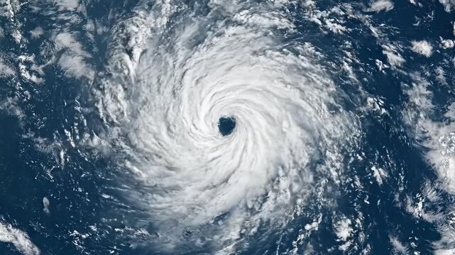
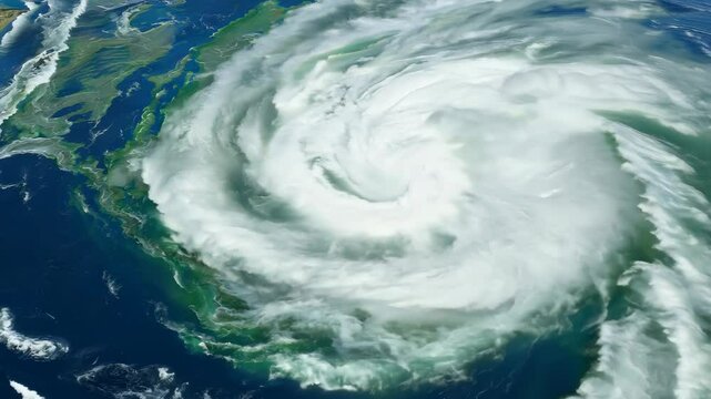
Powerful hurricane swirls in the Pacific Ocean off the coast of North America during the storm season
00:10
HD
Lightning Safety Awareness Week colorful motion graphics seamless loopable text animation on white or black background for awareness about lightning safety awareness week
00:12
HD
A weather map shows various storms passing the East Coast of the US.
00:19
HD
Top view of Earth-observing CloudSat spacecraft in orbit above a major hurricane. Data: NASA/JPL.
00:20
HD
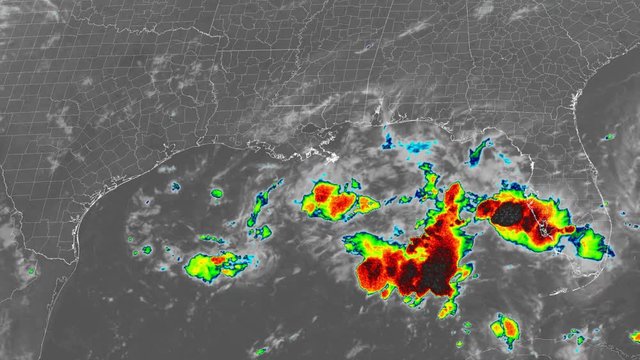
2021 Hurricane Ida time lapse satellite imagery. (Gulf of Mexico "Sandwich")

This work was created using data provided by NOAA (NESDIS STAR) which is not subject to copyright protection.
00:29
HD
A fictional hurricane background animation. Hurricane image courtesy of NOAA.GOV.
00:20
HD
Global Travel/Communication/Data Transfer  Data/information/traffic/people moving from country to country.  Imagery used with permission from NOAA, Mapping and Animation by Rebus_Prod.
00:25
HD
Disaster at a space base,footage,hd,4k
00:06
HD
NOAA Hurricane Hunter Plane
00:10
HD
Adorable Humpback Whale Calf Looking Directly At The Camera; Underwater Red Digital Cinema; 4K.
00:34
HD
Climate Model: Surface Temperature Compared to 20th Century Average - 2006-2100 (Representative Concentration Pathways 8.5). Loximuthal projection. NOAA/GFDL dataset ID: 438
00:28
HD
Cyclone - Hurricane - Typhoon isolated on black with alpha matte
00:30
HD
technical diving Rebreather scuba diver
00:11
HD
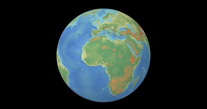
Earth planet rotation isolated over a black background. 4k video. Elements of this image furnished by NOAA (ETOPO1 Global relief model)
00:10
HD
4K video of a car windshield during a rain storm with cars passing by in CA
00:10
HD
Satellite Time-Lapse of Hurricane Ida: "Floater Sandwich" Band Imagery
00:06
HD
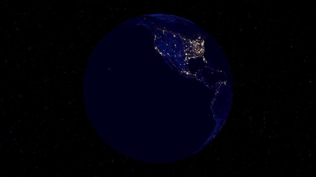
Satellite view of Earth at night.
00:30
HD
Northern Lights illuminating icy landscape at dusk with vibrant colors
00:05
HD
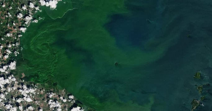
High-altitude overflight aerial of an algae bloom in Lake Erie. Clip loops and is reversible. Elements of this image furnished by USGS/NASA Landsat
00:31
HD
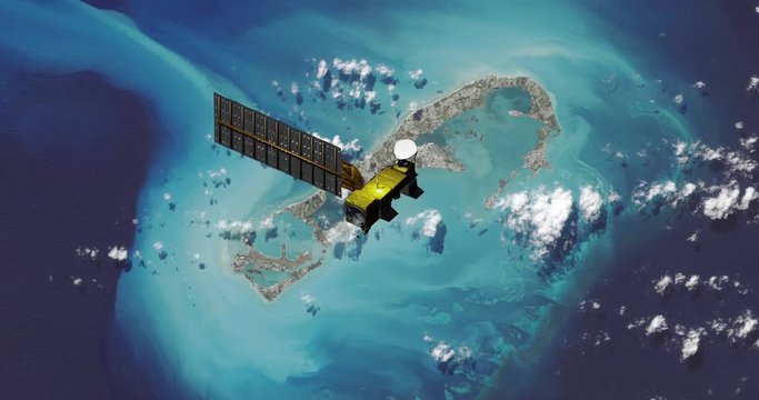
Top view of Earth-observing Aqua spacecraft in orbit above Bermuda. Data: NASA/JPL.
00:20
HD
Very high-altitude overflight aerial of the Mackenzie River delta at the Beaufort Sea. Clip loops and is reversible. Elements of this image furnished by USGS/NASA Landsat
00:31
HD
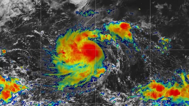
2019 Hurricane Barbara time lapse satellite imagery. Floater Band 11  This work was created using data provided by NOAA / NESDIS / STAR which is not subject to copyright protection.
00:26
HD
2019 Hurricane Jerry Band: Sandwich This work is created using GOES satellite imagery provided by NOAA / NASA that is not subject to copyright protection.
00:53
HD
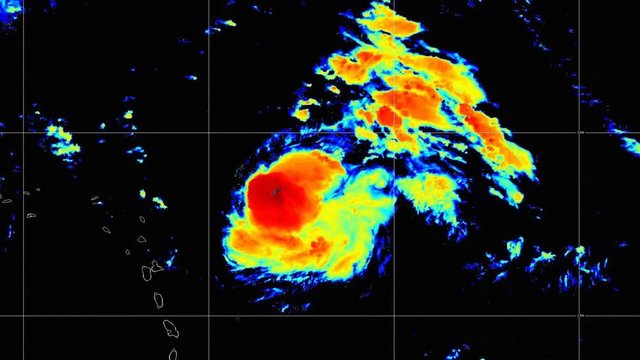
2021 Hurricane Felicia time lapse satellite imagery. (Band "Sandwich")

This work was created using data provided by NOAA (NESDIS STAR) which is not subject to copyright protection.
00:51
HD
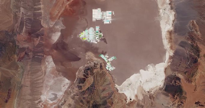
Very high-altitude overflight aerial of lithium evaporation ponds in Chiles' Salar de Atacama. Reversible, seamless loop. Elements of this image furnished by NASA.
00:30
HD
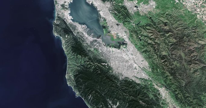
High-altitude overflight aerial of San Francisco, California. Clip loops and is reversible. Elements of this image furnished by NASA
00:31
HD
Very high-altitude enhanced color aerial of the Mississippi delta. Clip loops and is reversible. Elements of this image furnished by USGS/NASA Landsat
00:31
HD
2019 Hurricane Barbara time lapse satellite imagery. Floater Band 15  This work was created using data provided by NOAA / NESDIS / STAR which is not subject to copyright protection.
00:25
HD
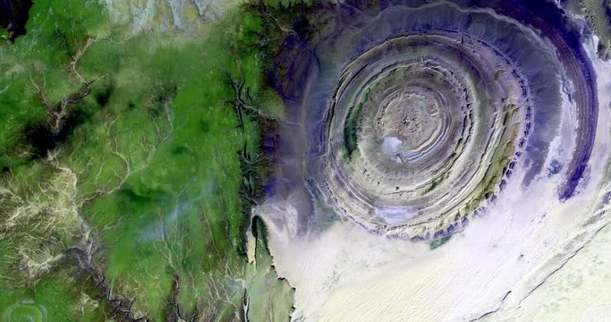
Very high-altitude overflight aerial of the Richat Structure in the Maur Adrar Desert, Mauritania. Clip loops and is reversible. Elements of this image furnished by USGS/NASA Landsat
00:30
HD
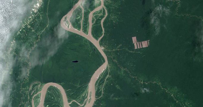
High-altitude overflight aerial of tropical deforestation near the Amazon river in northeastern Peru. Clip loops and is reversible. Elements of this image furnished by USGS/NASA Landsat
00:31
HD
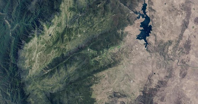
High-altitude overflight aerial of the Snowy Mountains, New South Wales, Australia. Clip loops and is reversible. Elements of this image furnished by USGS/NASA Landsat
00:31
HD
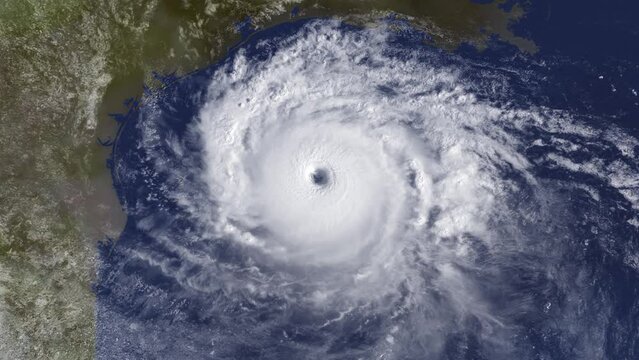
A fictional satellite view of a large hurricane near America's Gulf coastal region, including Texas, Louisiana, and Mexico. Modified hurricane image courtesy of NOAA.GOV.
00:15
HD
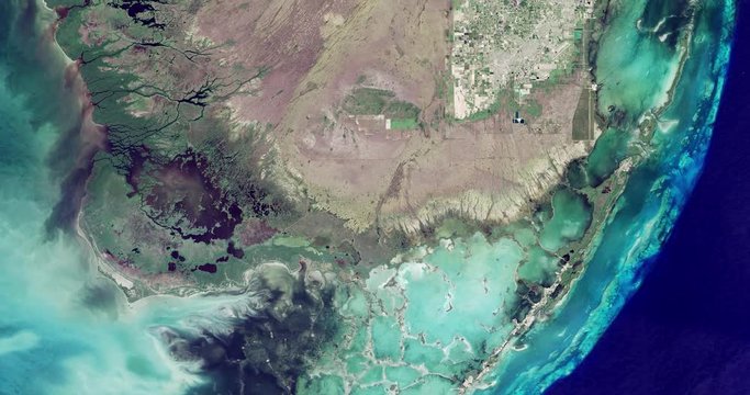
High-altitude overflight aerial of coastal marshland in the Florida everglades. Clip loops and is reversible. Elements of this image furnished by NASA
00:31
HD
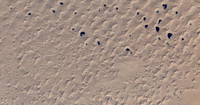
High-altitude overflight aerial of dunes in the Badain Jaran Desert, China. Clip loops and is reversible. Elements of this image furnished by NASA
00:31
HD
Very high-altitude overflight aerial of the Florida peninsula. Clip loops and is reversible. Elements of this image furnished by USGS/NASA Landsat
00:30
HD
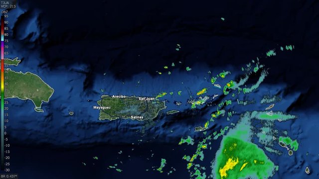
2019 Hurricane Dorian Puerto Rico Pass Doppler Radar Time Lapse. This work was created using data provided by the National Weather Service that is not subject to copyright protection.
00:31
HD
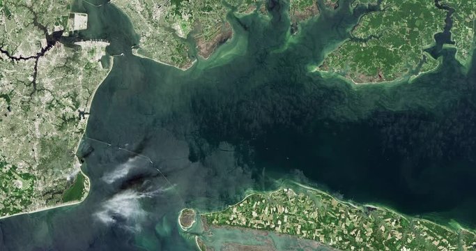
High-altitude overflight aerial of cities and coastland of the South Chesapeake Bay, VA. Clip loops and is reversible. Elements of this image furnished by USGS/NASA Landsat
00:31
HD
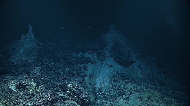
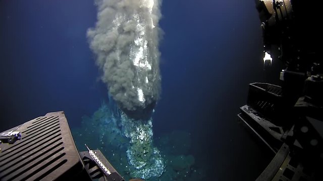
Discovery of the Chamorro Vent in the Mariana Trench, 2016
00:58
HD
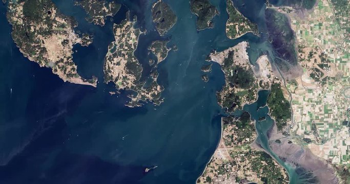
High-altitude overflight aerial of the San Juan Islands and NW Washington. Clip loops and is reversible. Elements of this image furnished by USGS/NASA Landsat
00:31
HD
2020 Hurricane Laura time lapse satellite imagery. IR Band

This work was created using data provided by NOAA / NESDIS / STAR which is not subject to copyright protection.
00:30
HD
Nexrad doppler radar forecasts weather.
00:19
HD
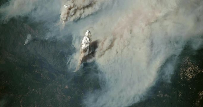
Very high-altitude overflight aerial of the Ferguson fire near Yosemite National Park, 2018. Clip loops and is reversible. Elements of this image furnished by USGS/NASA Landsat
00:30
HD
Weird ocean sponges are found by NOAA in the deep ocean, 2017
01:25
HD
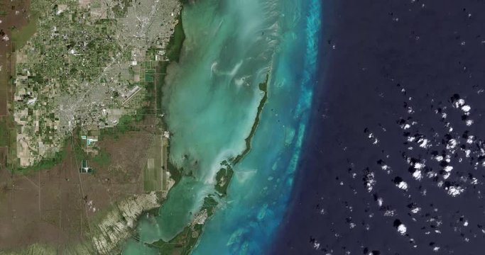
High-altitude overflight aerial of Biscayne National Park and nearby Homestead, Florida. Clip loops and is reversible. Elements of this image furnished by USGS/NASA Landsat
00:31
HD
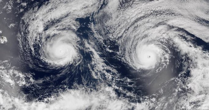
View from orbit of side-by-side Hurricanes Lester and Madeline, in late summer 2016. Elements of this image furnished by NASA.
00:20
HD
High-altitude overflight aerial of lower Mississippi River and deltas, Louisiana (infrared/green light enhanced). Clip loops and is reversible. Elements of this image furnished by USGS/NASA Landsat
00:31
HD
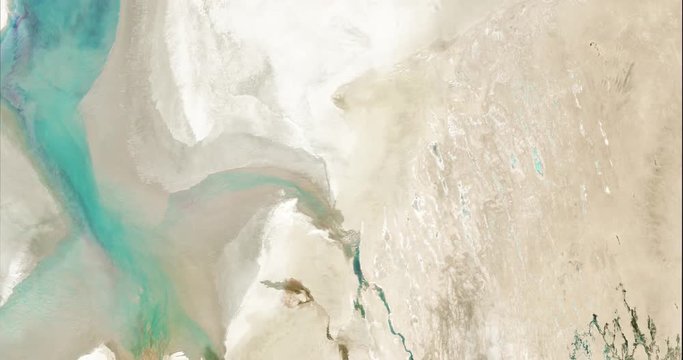
High-altitude overflight aerial of a nearly empty Aral Sea in Central Asia. Clip loops and is reversible. Elements of this image furnished by USGS/NASA Landsat
00:31
HD
Very high-altitude circular tracking shot of a small city green belt. Reversible, seamless loop.
00:59
HD
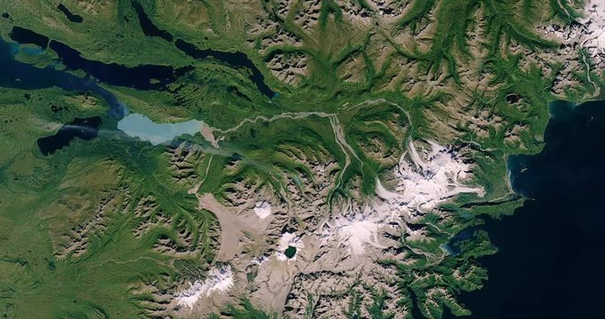
High-altitude overflight aerial of the mountains of Katmai National Park, Alaska. Clip loops and is reversible. Elements of this image furnished by USGS/NASA Landsat
00:31
HD
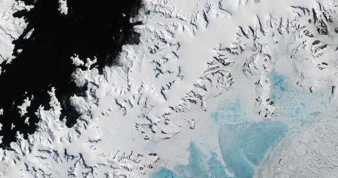
Very high-altitude overflight aerial of Antarctic glaciers, ice sheets, nunataks and sea ice. Clip loops and is reversible. Elements of this image furnished by USGS/NASA Landsat
00:30
HD
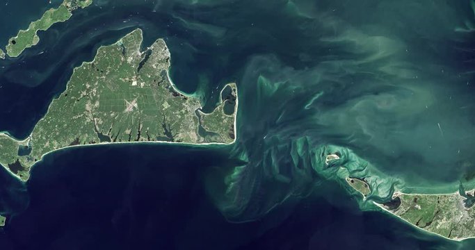
High-altitude overflight aerial of Martha's Vineyard and SW Cape Cod, MA. Clip loops and is reversible. Elements of this image furnished by NASA
00:31
HD
High-altitude overflight aerial of Ross Island on the McMurdo Ice Shelf, Antarctica. Clip loops and is reversible. Elements of this image furnished by USGS/NASA Landsat
00:31
HD
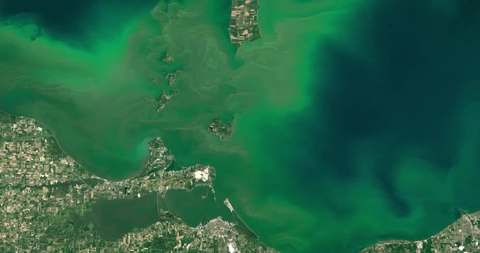
Very high-altitude overflight aerial of severe bloom of blue-green algae, western half of Lake Erie. Clip loops and is reversible. Elements of this image furnished by NASA
00:31
HD
High-altitude overflight aerial of Todhia Arable Farm and surrounding land, Saudi Arabia. Clip loops and is reversible. Elements of this image furnished by USGS/NASA Landsat
00:31
HD
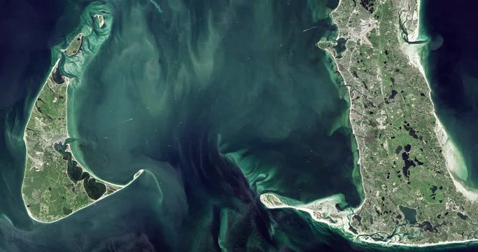
High-altitude overflight aerial of Nantucket and Nantucket Sound, MA. Clip loops and is reversible. Elements of this image furnished by NASA
00:31
HD
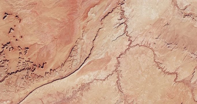
Very high-altitude overflight aerial of rocky desert, Monument Valley, Arizona and Utah. Clip loops and is reversible. Elements of this image furnished by USGS/NASA Landsat
00:30
HD
High-altitude overflight aerial of lower Mississippi River and deltas, Louisiana (infrared/green light enhanced). Clip loops and is reversible. Elements of this image furnished by USGS/NASA Landsat
00:31
HD
2019 Hurricane Dorian time lapse satellite imagery. Bahamas Landfall Band GEOCOLOR  This work was created using data provided by NOAA / NESDIS / STAR which is not subject to copyright protection.
00:59
HD
View from orbit of Super Typhoon Noru, 2017. Data: NASA/USGS Landsat.
00:20
HD
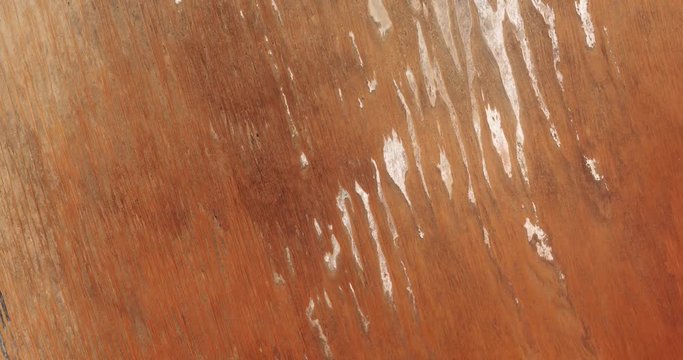
High-altitude overflight aerial of rock formations in the Simpson Desert, Australia. Clip loops and is reversible. Elements of this image furnished by USGS/NASA Landsat
00:31
HD
High-altitude overflight aerial of the Mauna Loa volcano, Hawaii. Clip loops and is reversible. Elements of this image furnished by USGS/NASA Landsat
00:31
HD
High-altitude overflight aerial of lower Mississippi River and deltas, Louisiana (infrared/green light enhanced). Clip loops and is reversible. Elements of this image furnished by USGS/NASA Landsat
00:31
HD
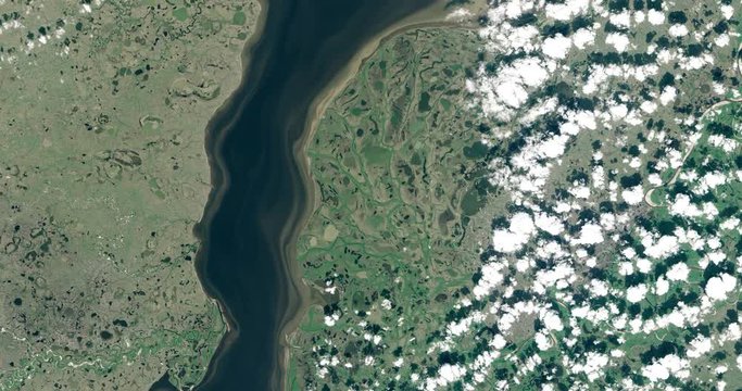
High-altitude overflight aerial of the Taz River, western Siberia, Russia. Clip loops and is reversible. Elements of this image furnished by USGS/NASA Landsat
00:31
HD
2021 Hurricane Ida Landfall Doppler Radar Time Lapse.
This work was created using data provided by the National Weather Service that is not subject to copyright protection.
00:42
HD
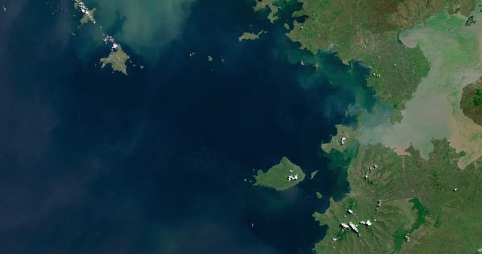
High-altitude overflight aerial of Lake Victoria, Zimbabwe. Clip loops and is reversible. Elements of this image furnished by NASA
00:31
HD
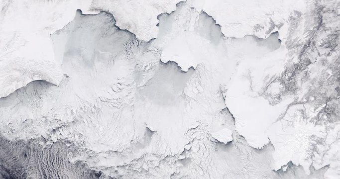
Very high-altitude overflight aerial of ice sheets and sea ice, northern Bering Sea coast. Clip loops and is reversible. Elements of this image furnished by USGS/NASA Landsat
00:30
HD
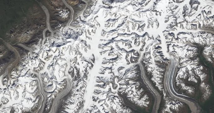
High-altitude overflight aerial of Denali, and the heart of the Alaska Range. Clip loops and is reversible. Elements of this image furnished by USGS/NASA Landsat
00:31
HD
Nexrad doppler radar forecasts weather.
00:31
HD
2019 Tropical Storm Imelda time lapse satellite imagery. Gulf Of Mexico Band 07  This work was created using data provided by NOAA / NESDIS / STAR which is not subject to copyright protection.
00:56
HD
Climate Model: Surface Temperature Compared to 20th Century Average - 2006-2100 (Representative Concentration Pathways 8.5). Wagner VI projection. NOAA/GFDL dataset ID: 438
00:28
HD
High-altitude overflight aerial of Long Beach. Clip loops and is reversible. Elements of this image furnished by NASA
00:31
HD
2019 Hurricane Barbara time lapse satellite imagery. Floater Band 13  This work was created using data provided by NOAA / NESDIS / STAR which is not subject to copyright protection.
00:26
HD
Aerial zoom out over the 2014 King fire, Eldorado National Forest, California. Data: USGS/NASA Landsat.
00:20
HD
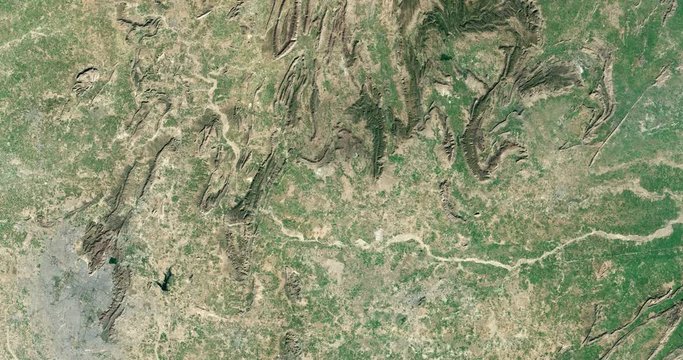
High-altitude overflight aerial of the Aravalli range and surrounding land, India. Clip loops and is reversible. Elements of this image furnished by USGS/NASA Landsat
00:31
HD
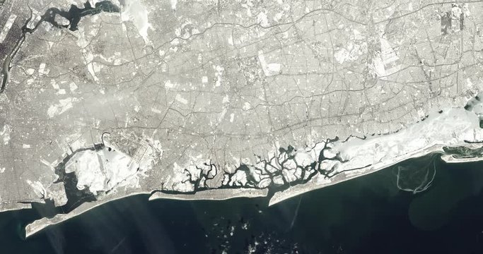
High-altitude overflight aerial of Long Island. Clip loops and is reversible. Elements of this image furnished by NASA
00:31
HD
Aerial zoom out over the 2013 fires in western Quebec, Canada. Data: USGS/NASA Landsat.
00:20
HD
Top view of Earth-observing Aqua spacecraft in orbit above the Himalayas. Data: NASA/JPL.
00:20
HD
High-altitude overflight aerial of a portion of the Suez Canal adjacent to Al Qantara. Clip loops and is reversible. Elements of this image furnished by USGS/NASA Landsat
00:31
HD
2021 Hurricane Ida time lapse satellite imagery. (Floater "GEOCOLOR")

This work was created using data provided by NOAA (NESDIS STAR) which is not subject to copyright protection.
00:34
HD
Aerial zoom out over the December 2017 Ventura California fires. Data: USGS/NASA Landsat
00:20
HD
High-altitude overflight aerial of the Aravalli range and surrounding land, India. Clip loops and is reversible. Elements of this image furnished by USGS/NASA Landsat
00:31
HD
Footage of life and volcanic activity taken from a deepwater exploration of the Mariana Trench, 2016
00:56
HD