A link to set your password has been sent to: To access your purchases in the future you will need a password.
Create without limits — unlimited downloads, plus powerful AI editing
New filters added
Sort by

28 results for mareograph in videos


Did you mean: aerograph ,  aerography
AI tide gauge and sea level forecast climate close-up
00:10
HD
Close?up view of reinforced tsunami barrier wall with energy?absorbing panels and access walkway under gray sky symbolizing engineered coastal defense system in  Photo Stock  Concept  and empty space
00:10
HD
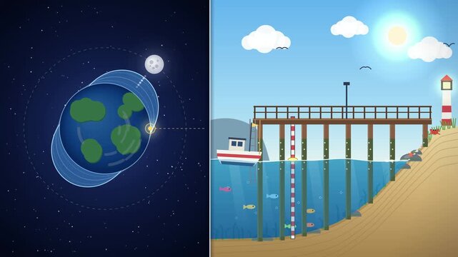
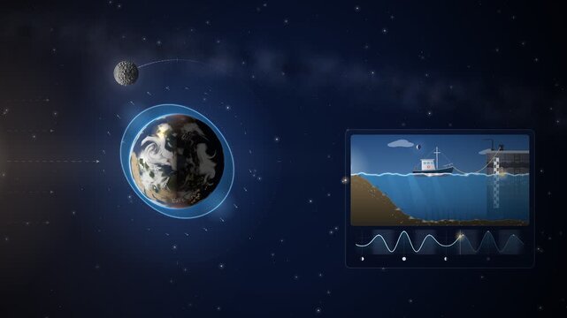
Ocean tides explained, moon orbits the earth and pulls the water bulge, sea level rises and falls at the pier animation
00:16
HD
AI tide gauge and sea level forecast climate full scene endless loop
00:09
HD
Tide Gauges Word Cloud
00:11
HD
Moon Tides Gravity Cycle Diagram Seamless Loop
00:15
HD
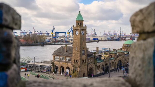
4k timelapses at the Landungsbrücken Hamburg with tide gauge tower at the St. Pauli Landungsbrücken, Stintfang, Hamburg, Germany
00:10
HD
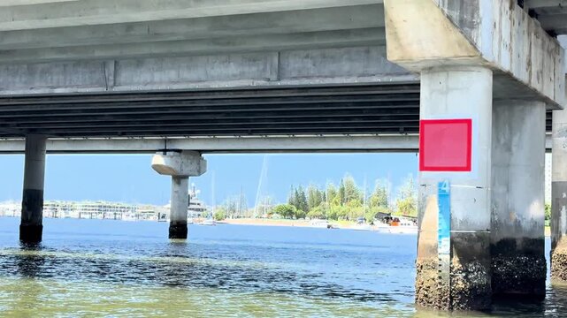
Camera Moving Under Concrete Bridge Structure Across Waterway in Southport
00:20
HD
Tide gauge glowing waves moon rise overflow droplet burst drain loop
00:15
HD
Abstract animated tides tracked as a repeating waveform drawn as cool blue-white lines and shapes on a bright, clean light background. Seamless looping 4K motion graphics video with free space for tex
00:07
HD
Melting Earth Globe with Glowing Cracks and Dripping Water into Rising Sea - Animated Climate Change Background with Copy Space
00:10
HD
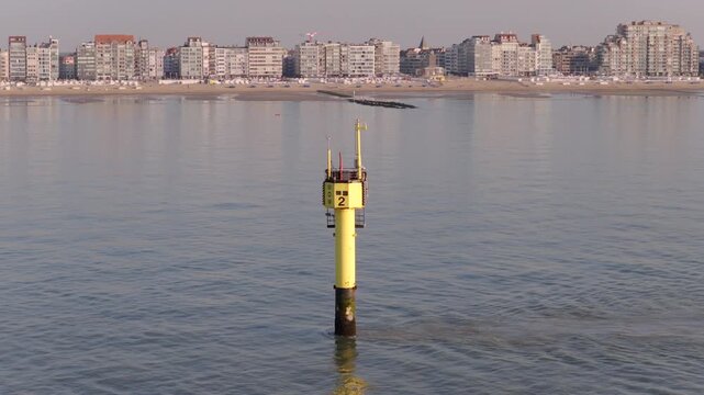
Meetpaal MOW 2 hydrometeorological measuring platform off Knokke coast. Aerial
00:12
HD
Œuvre artistique dessinée avec un traceur au stylo bille bic bleu
00:31
HD
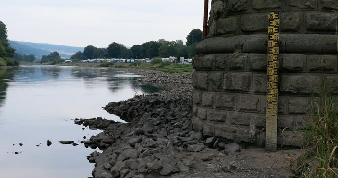
Tide gauge at Weser river at low water level at dry summer in northern hesse at village Gieselwerder. Gauge on the stone pillar of a bridge and a campsite in the background.
00:15
HD
The water in the river falls quickly after the flood. Water levels of previous days are visible. Sandy beach as a kind of water gauge rail (water level scale)
00:12
HD
Professional GIS rendering of tsunami path map showing colored inundation corridors sensor network locations and evacuation routes for emergency planners in  Photo Stock  Concept  and empty space on t
00:10
HD
Time?lapse style visualization of rapidly rising sea level fast inundating coastal streets and eroding protective dunes highlighting urgent climate impact in  Photo Stock  Concept  and empty space on
00:10
HD
Aerial view of chaotic ocean disaster scene with overturned vessels debris field and emergency response boats navigating turbulent waters under stormy sky in  Photo Stock  Concept  and empty space on
00:10
HD
Emotive still of tragic wave moment with colossal water wall approaching coastal town and terrified residents desperately seeking higher ground in  Photo Stock  Concept  and empty space on the left si
00:10
HD
Drone panorama of serene beach with warning signs indicating tsunami risk horizon emphasizing coastal evacuation planning and hazard preparedness measures in  Photo Stock  Concept  and empty space on
00:10
HD
Abstract animated float gauge charting the tide drawn as cyan and teal lines and shapes on a bright, clean light background. Seamless looping 4K motion graphics video with free space for text, ideal f
00:07
HD
High?contrast image of storm surge confusion with water rushing through urban barriers submerged streets and emergency crews coordinating rescue operations in  Photo Stock  Concept  and empty space on
00:10
HD
Emotive still of tragic wave moment with colossal water wall approaching coastal town and terrified residents desperately seeking higher ground in  Photo Stock  Concept  and empty space on the left si
00:10
HD
Time?lapse style visualization of rapidly rising sea level fast inundating coastal streets and eroding protective dunes highlighting urgent climate impact in  Photo Stock  Concept  and empty space on
00:10
HD
Seamless 4K looping animation of a flat tide gauge icon measuring level, centred on a clean light background with plenty of copy space. Bold outlined vector shapes in orange and amber and smooth repea
00:06
HD
Close?up view of reinforced tsunami barrier wall with energy?absorbing panels and access walkway under gray sky symbolizing engineered coastal defense system in  Photo Stock  Concept  and empty space
00:10
HD
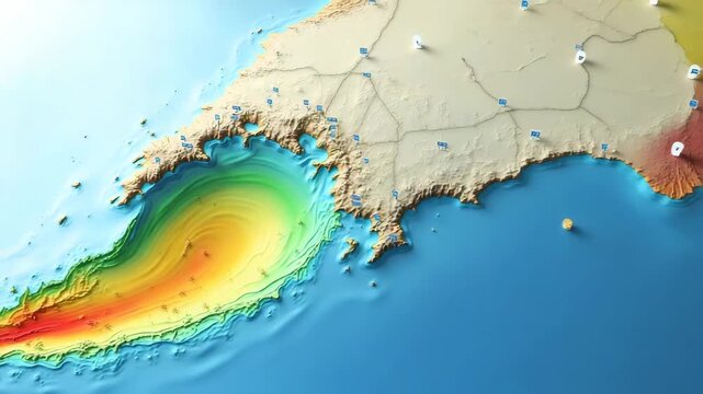
Interactive style tsunami path map infographic overlaying seismic epicenter predicted wave trajectories and coastal impact zones with clear legend in  Photo Stock  Concept  and empty space on the left
00:10
HD
brave ocean on a sunny day with tide gauge and cliff´s on the background, Slow motion
00:12
HD