A link to set your password has been sent to: To access your purchases in the future you will need a password.
Create without limits — unlimited downloads, plus powerful AI editing
New filters added
Sort by

718,791 results for maps in videos

Did you really mean: mapusa
Global Blue World Map Loop. This animated World map with visual effects and glowing connections in different places on the map.
00:10
HD
3D rendering GPS map navigator with direction path, different color of a route for transport concept, select focus shallow depth of field
00:20
HD
gps map navigator system animation. route destination 3d city streets. searching direction, track or address. pin location detection. mapping technology and locate position high tech motion background
00:10
HD
Motion history map
00:21
HD
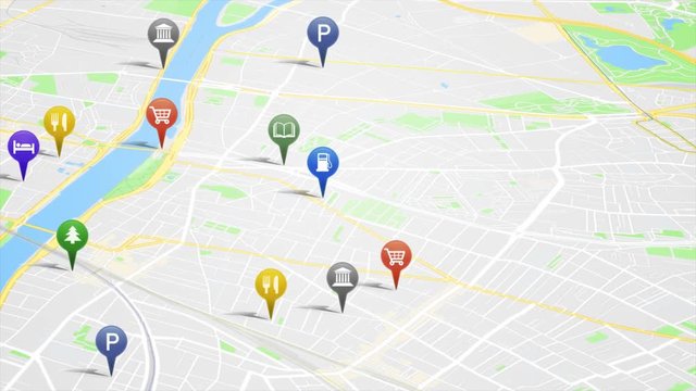
City Map With GPS Pins Animation Loop/ 4k animation of an app screen of traveling city map background with gps pins and icons rising
00:16
HD
Cuba on a detailed political map of the Caribbean and Central America. Smooth camera movement focuses on the island, Havana, surrounding seas, nearby coastlines and regional geography.
00:24
HD
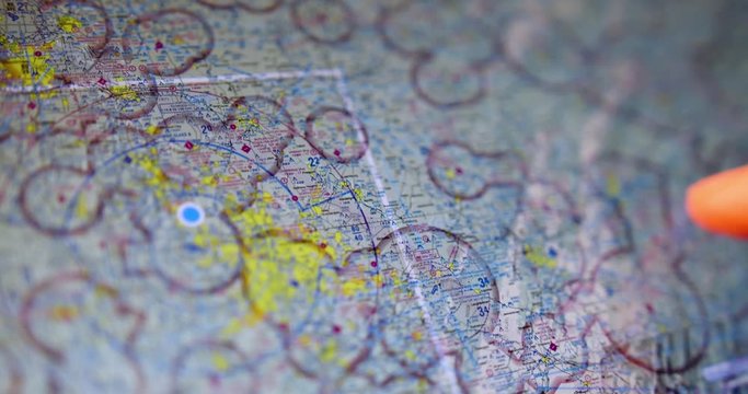
An extreme closeup shot of a pilot examining VFR maps of the North American east coast on a tablet PC before a flight.
00:16
HD
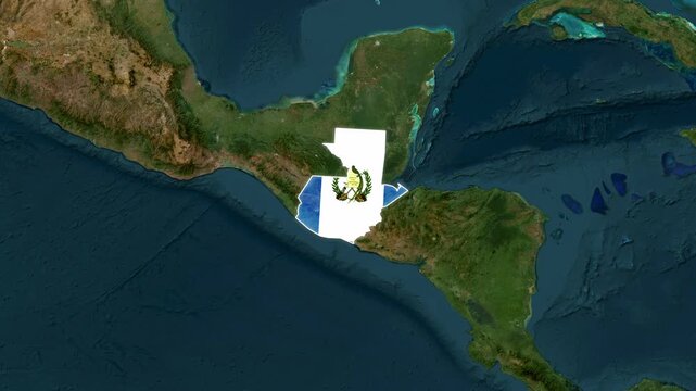
Guatemala Country Map and National Flag Satellite Earth Zoom Animation
00:14
HD
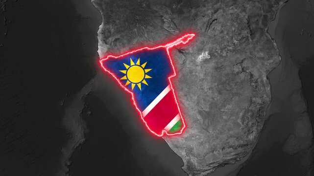
The animated nation map outline glows with flag motion video clip
00:25
HD
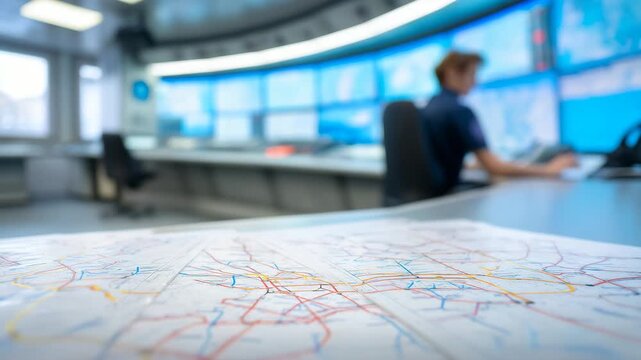
Transport control room with route maps in foreground and operator monitoring screens, traffic management, logistics coordination, public transport and dispatch concept. transport
00:10
HD
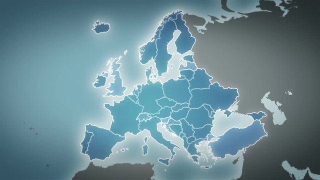
World map with European country maps.
00:49
HD
3D Animation - Virtual street map with a route to reach the place marked with the location symbol
00:10
HD
World map animation. Animation of connecting all continents into a whole world map with borders in the background with an alpha channel. Motion design.
00:05
HD
Animation of an old dark world map in two tones, blue and sepia, with continents, oceans and countries, representing the adventure and historical travels oround the planet. Vintage atlas in motion
00:12
HD
Using a map on a tablet touchscreen device to navigate
00:13
HD
Digital map city of travel by taxi. Gps navigation 4K
00:10
HD
Animation of statistical and stock market data processing over world map against blue background
00:15
HD
Image photo animation maps purple digital world networks. Cosmic image photo animation glows on abstract galaxy backdrops. Global image photo animation links international servers.
00:05
HD
Pop up animation of red location pin with circle wave on the bottom, GPS maps location pointer animated icon on white screen and black screen, motion graphic element
00:20
HD
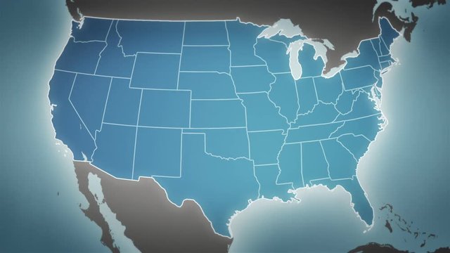
Map of United States of America showing different states. Animated usa contiguous lower 48 u.s. state map on an isolated chroma key background.
00:40
HD
Connection Blue World Map Loop.  This animated World map with visual effects and flying glowing connections in different places on the map.
00:10
HD
3D Rendering globe with network line spinning and orbit in the universe with lighting effect and dark grain processed world map image source from NASA
00:25
HD
Aerial view above suburban waterfront ocean residential homes rooftops estate. Aerial wide left orbit across neighbourhood.

00:21
HD
Closeup of a man using GPS and Google maps navigation in his phone in a car
00:06
HD
City Map With GPS Pins Animation Loop/ 4k animation of an app screen of traveling city map background with gps pins and icons rising
00:16
HD
Dolly shot of man's hand drawing on map by finger
00:30
HD
Close up of a vintage old map
00:17
HD
Motion graphic of a 3D location pin on a blurred city map symbolizing navigation, GPS, and location tracking in bright daylight.
00:05
HD
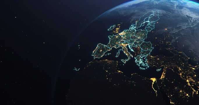
Planet Earth from Space EU European Countries highlighted, state borders and counties animation, city lights, 3d illustration, elements of this image courtesy of NASA
00:30
HD
Male IT employee is looking at computer screens with maps and data on display in a dark office room. Shot on RED Cinema Camera.
00:10
HD
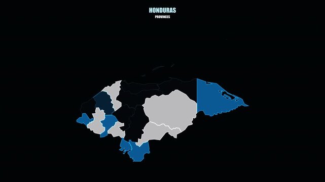
Glowing Honduras Regions Assemble into Country Shape on World Map
00:08
HD
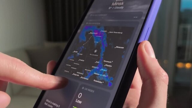
Hands swipe smartphone weather app in a home interior. Forecast maps and temperatures scroll on the screen. Mobile climate checking for daily planning and travel..
00:12
HD
GPS navigation pointer showing destination on digital map route
00:10
HD
USA map connections
00:10
HD
location pin animation, map marker icon, navigation pointer effect, gps tracking overlay, alpha channel background
00:10
HD
Aerial View of City Buildings 3D Render With Point Map
00:12
HD
GPS Tracking. GPS navigation concept. Navigation map and red checkpoints icon Navigation map.
00:15
HD
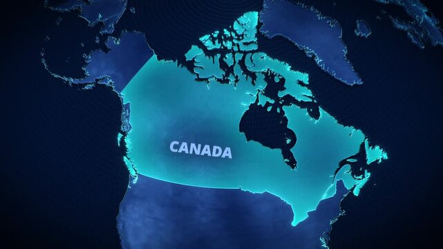
3D digital globe map highlighting Canada with glowing cyan borders and text, futuristic holographic cartography for corporate presentation backgrounds and broadcast news graphics.
00:12
HD
The process of choosing a travel point on the map on a summer vacation a young couple chooses a place to stay on a hot summer day, searching for a point on the maps Fingers pointing a place on the map
00:19
HD
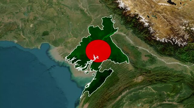
Bangladesh map animation video 4k, South Asia map view
00:15
HD
hands opens rolled old world map
00:06
HD
3D rendering GPS map navigator with direction path, different color of a route for transport concept, select focus shallow depth of field
00:20
HD
Unusual and unique map animation of aerial timelapse of traffic around roundabout. Digital art concept
00:20
HD
Data Privacy Manager Reviews Compliance Dashboard On Laptop
00:25
HD
Animated digital map featuring interconnected location pins, symbolizing global network connectivity and geographic information technology. Animation concept of geolocation maps for business.
00:10
HD
Location map pin pointer on GPS Map tracker animation. Appearing pointer for a map. Point of interest. Sign and pin to indicate the route and location on the video maps
00:20
HD
A hand touching an interactive tablet map with glowing city streets and location pins, emphasizing real time traffic updates, navigation, and digital road tracking
00:05
HD
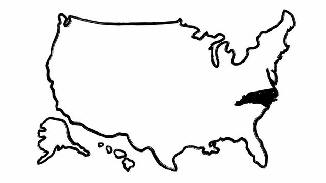
Full stack of animated maps of America and North Carolina made in black scribble style. Isolated view of the USA and one state borders with written names on theme filmed against white background

00:57
HD
Planet Earth from Space European Union Countries highlighted teal glow, 2020 political borders and counties, city lights, animation 3d illustration, elements of this image courtesy of NASA
00:30
HD
World map with US state maps.
00:59
HD
Vintage map showing travel route and exploration journey
00:09
HD
Ocean topographic map with depth markings, dark blue background
00:30
HD
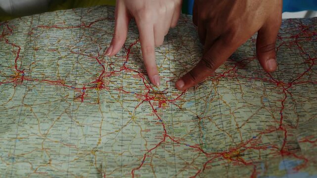
Two pairs of hands (a man's and a woman's) are pointing to and tracing a location on a paper road map (focusing on the Hannover area and its surroundings in Germany).
00:16
HD
World map connections
00:10
HD
Countries Connected
00:20
HD
Futuristic digital supply chain analytics dashboard with graphs, maps and KPIs on multiple screens - logistics technology
00:10
HD
Exploring ancient parchment maps revealing historical borders and trade routes in a warm candlelit atmosphere
00:05
HD
A military operations center with a soldier monitoring multiple digital displays showing world maps and data analytics
00:10
HD
Earth Zoom In Zoom Out argentina Elements of this image furnished by NASA
00:15
HD
Stylized vintage political map of EU European Union and Europe. 3d animation
00:20
HD
News Background Red Globe Loop
00:15
HD
3D rendering GPS map navigator with direction path, different color of a route for transport concept, select focus shallow depth of field
00:20
HD
Explore ancient maps and the stories they tell about forgotten lands
00:05
HD
Rolled brown parchment paper creates a detailed antique texture background, conveying concepts of history, vintage documents, crafting, and old maps with its aged surface
00:08
HD
Glowing digital map highlighting Chile, South America with a neon outline and typography, ideal for a broadcast news segment or corporate presentation background.
00:12
HD
Global network connection and data connections World map technology background, Blockchain web 3.0 defi and crypto currency NFT concept. Bitcoin mining big data grid business Virtual reality
00:20
HD
Assembling black and grey pixel map of USA seamless loop
00:15
HD
Indigo passport card and payment card merging centered view appearing
00:15
HD
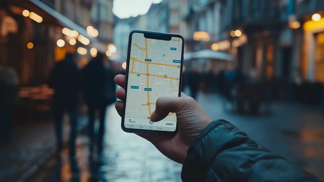
Close-up of hand holding smartphone with digital map navigation application in city street, modern technology, urban lifestyle, GPS navigation, travel, mobility, direction and digital innovation.
00:10
HD
Command post scene showing military officer briefing soldiers with digital displays and global maps emphasizing teamwork and strategy planning.
00:06
HD
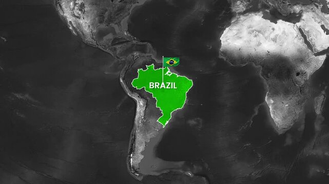
Brazil map animation featuring a waving flag in motion video footage
00:15
HD
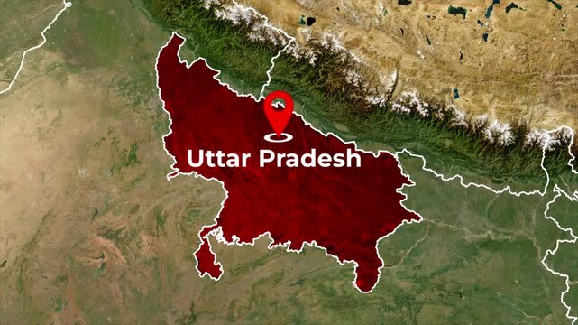
Zoomed in satellite terrain map animation of India highlighting Uttar Pradesh state in red with a red location pin icon and blinking target dot
00:06
HD
Ancient cartographic maps on old and weathered papers spread across a wooden table, with a star chart on top. Exploration, adventures, and astrology for the background of a banner or wallpaperr
00:19
HD
4K animation of gps map of Aventure
00:03
HD
Close up of a vintage map with a red thread marking a route, highlighting the concept of travel and exploration.
00:10
HD
united states of america map with pin point
00:10
HD
Airspace operational global flight tracking world map dashboard
00:15
HD
Person exploring a city map on a tablet touchscreen. Close up, slow motion.
00:10
HD
Russia map animation with Russia flag highlighted border color, 3d Animated map of Russia, Russia maps zooming from top Space view, World Map Zoom In To Russia, Detailed map Russia
00:10
HD
neon glowing world map animation with location pointers. GPS location services motion graphics. location markers indicating world maps 4k video footage.
00:10
HD
Close up of a old vintage map with countries and continents. Retro style. Concept of geography or global history and cartography.
00:18
HD
3D Rendering Top view City map with navigator line and destination GPS Technology transportation, Futuristic user interface, HUD Head-up display. Technology and futuristic concept
00:20
HD
Motion graphic video of a red circle marking to denmark on a vintage political map
00:10
HD
Military personnel in camouflage uniforms study printed maps on a glowing digital table during a tactical planning briefing.
00:11
HD
Animated zoom from a world map into a stylized blue digital map of Mexico highlighting the country with glowing outlines and a name label for a futuristic news and travel graphic template.
00:13
HD
Glowing blue neon map of Brazil with state borders on a dark digital background
00:08
HD
India map highlighted outline animation on world map, marking New Delhi the capital of india
00:07
HD
USA state map color contour Massachusetts MA
00:07
HD
Planning meeting where survivors design long-term reconstruction strategies maps and blueprints rebuilding civilization
00:10
HD
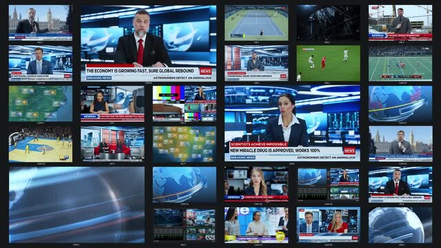
Multi screen Broadcast Monitoring Wall Screens Display Various Network TV Channels Streaming like: News Headlines, Economic Forums, Tennis, Football, Basketball, Weather Maps, Lifestyle Programs Live
00:20
HD
Soldier’s hand operating a holographic touchscreen showing military technology icons such as satellite surveillance, cyber defense, and tactical AI maps
00:05
HD
Holographic representations of world maps highlight the regions currently experiencing the strongest currency movements.
00:07
HD
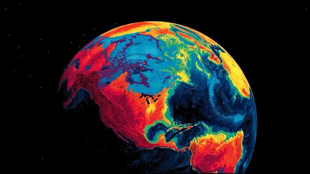
Abstract colorful Earth globe with heat map style visualization, vibrant data-driven planet concept representing climate, temperature and global analytics
00:05
HD
A woman in military uniform wears a headset while facing monitors displaying world maps in a dimly lit room, emphasizing technology and security operations.
00:07
HD
Ancient medieval map of the world with continents, countries and decorative drawings of ships, with parallels and meridians in the background on weathered paper. Discovery intro animation for a movie
00:20
HD
A military command center with soldiers and digital screens displaying maps
00:05
HD
Camera passing over top secret classified looking documents on black background. Various official government and intelligence agency reports and memos photos and maps with censorship redacted lines
00:20
HD
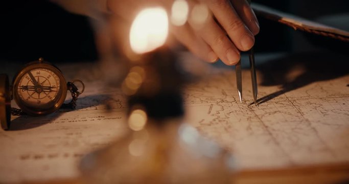
Different views of a vintage 1850 mapmaker using a compass divider going over a map taking notes
00:12
HD
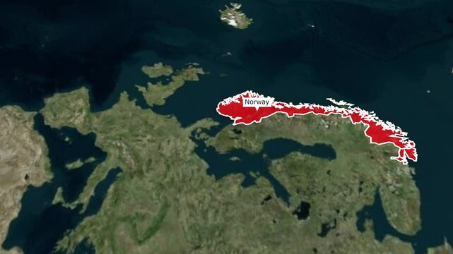
Norway map animation with highlighted color, 3d Norway map of Norway, Norway maps zooming from top Space view, World Map Zoom In To Norway
00:15
HD
Seamless video loop, view from space of the night planet Earth with the lights of the world's evening cities. Globe rotation day to night skyline. Realistic repeatable animation. 4k footage

00:59
HD