A link to set your password has been sent to: To access your purchases in the future you will need a password.
Create without limits — unlimited downloads, plus powerful AI editing
New filters added
Sort by

36,166 results for location data in videos

Digital city map with glowing location pins and data lines over a night cityscape
00:05
HD
Glowing USA map visualized bright nodes, regional boundaries modern data interface connectivity, cyber monitoring, location analysis, government technology, enterprise research digital transformation.
00:20
HD
Looped Sci-fi HUD robot visor overlay with crosshair, GPS coordinates and telemetry, drone POV interface with active scanning on a black background for Screen mode overlay.
00:15
HD
Neon red restricted zone warning sign with dynamic digital data coordinates and cyber security interface overlay for high-tech surveillance, military access control, and futuristic science fiction
00:10
HD
Digital world map with users worldwide connections. Global social media network and web 3.0 communication on earth background. Cloud storage and blockchain technology concept. Internet vpn location
00:12
HD
Engineer, computer and man on screen with map for wind turbine location or renewable research. Monitor, worker and global planning in office for sustainable project, data and clean energy analyst
00:14
HD
Digital map with glowing blue location pins, futuristic city grid, abstract technology background, GPS navigation, geolocation, data connectivity, network visualization, urban communication
00:10
HD
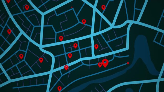
4K UHD Animated city map with location pins and navigation routes. Modern GPS tracking concept for smart city
00:20
HD
Aerial view drone flight above business park warehouse district factory units data centre quantum computing on a sunny day in the UK logistics and transport of goods economics.
00:16
HD
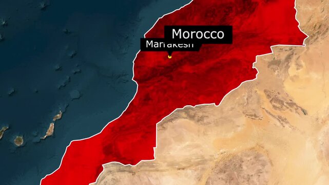
Satellite view map of morocco highlighting the country and the location of marrakesh
00:15
HD
Middle East map big data visualization. Futuristic digital map infographic of Arabian Peninsula region. Visual global trade data complexity routes in modern blue and orange colors.
00:10
HD
World map warning data theft global, computer hacking and coding, cybersecurity location danger notifications cyberspace sign and digital network data threat
00:19
HD
Two location point connection with lines arrow direction animation on white background.4k animation video .
00:10
HD
Geolocation and navigation technology concept digital map interface with glowing green location pin and tracking path motion overlay for logistics and urban transport analysis.
00:10
HD
Smart city network connection with glowing location pin markers and data transfer lines
00:06
HD
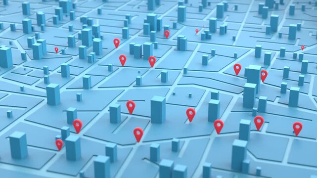
Urban Digital Map Location Pins 3D animation tracking data points for logistics delivery services, smart city planning, and commercial real estate market analysis
00:13
HD
gps, location information, network, map, navigation, pinning, drone, aerial view, city, society, sns, pin, spot, tourism, travel, communication, internet, online, web, blue sky, region, area, icon, sy
00:20
HD
Abstract representation of multiple black map pin icons against a bright chroma key background, symbolizing digital mapping and global positioning concepts for modern interfaces
00:06
HD
IP address internet protocol identification concept, digital network security location tracking graphic, global data routing process banner design.
00:16
HD
Secret satellite tech used by the police forces. Modern satellite technology collects secret information about vehicle location. Satellite tech gathers secret gps data on a city map.
00:35
HD
Futuristic digital world map interface with radar scanning and data visualization elements on a dark blue background
00:13
HD
Global network connection and data connections World map technology background, Blockchain web 3.0 defi and crypto currency NFT concept. Bitcoin mining big data grid business Virtual reality
00:20
HD
Planet, earth and virtual map of continents with global network, population connection and spin. Digital world, satellite location and worldwide data for communication, travel and white background
00:15
HD
Digital permission request interface with camera location data notifications toggle switch settings. Suitable for mobile app development and cybersecurity concepts.
00:10
HD
Animated screen showing the processing of data related to space mission
00:20
HD
High altitude UAV telemetry dashboard analyzing drone flight coordinates and sensor data
00:16
HD
Last mile delivery dashboard: animated logistics tracking interface with route map, order status timeline and real-time dispatch performance metrics
00:10
HD
4K UHD Animated city map with location pins and navigation routes. Modern GPS tracking concept for smart city
00:20
HD
Digitally mark the position on the map with two pins. gps tracking by coordinates in maps. location point. Generative AI
00:04
HD
A focused shot on a computer screen showing a live feed of data being transmitted from a remote location highlighting the instantaneous connection of 5G.
00:07
HD
Smart city network concept with 5g, wifi, location pins and building data panels over aerial city view. Digital transformation and internet of things technology. High quality 4k footage
00:21
HD
World map warning data theft global, computer hacking and coding, cybersecurity location danger notifications cyberspace sign and digital network data threat
00:19
HD
A hand touching an interactive tablet map with glowing city streets and location pins, emphasizing real time traffic updates, navigation, and digital road tracking
00:05
HD
An illuminated globe displays network connections between cities with glowing markers signifying key locations in the dark
00:10
HD
Red glowing location pin pulsing on digital map surface for navigation and technology content
00:07
HD
Digital holographic commercial jet flying over a dotted grid with a location pin, data signals, and glowing outlines, ideal for a technology presentation backdrop.
00:12
HD
network, city, app, drone, aerial view, society, dx, location information, gps, future, system, internet, online, web, data, cloud, navigation, map, region, tourism, travel, guide, information, resear
00:20
HD
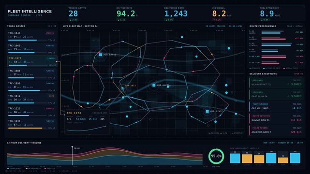
A dynamic fleet intelligence command center visualizes live truck locations, route performance, and delivery exceptions with vibrant colors and interactive data panels.
00:15
HD
Smart city network connecting urban landscape at dusk. Aerial view of modern metropolis with glowing location pins and data lines.
00:07
HD
Central data signal moving along glowing sine wave, weaving through bar charts and network mesh
00:12
HD
Glowing location pins on digital city network, GPS navigation, smart mobility, geolocation technology, route tracking, connected transportation, data mapping
00:10
HD
A luminous digital globe coded world graphics creates premium technology global networks, data exchange, business, cyber security, cloud computing, communication, logistics international innovation.
00:25
HD
Digital Navigation Map: A dynamic, futuristic illustration showing a glowing digital map with location pins, highlighting connectivity and data flow.
00:05
HD
Birmingham, United Kingdom - 31 December 2025: Aerial view of the ATOS Longbridge data centre exhibiting a blend of industrial architecture and verdant surroundings.
00:24
HD
Animated high-tech interface for location tracking via satellite
00:20
HD
Central America map big data visualization. Futuristic digital map infographic of Middle America region. Visual global trade data complexity routes in modern blue and orange colors.
00:10
HD
High tech aerial city map with glowing blue location pin over satellite view, holographic wireframe buildings and radial targeting grid, digital navigation overlay pinpointing urban district with
00:08
HD
Cybersecurity risk atlas dashboard animation with global threat map and behavioral analytics data
00:15
HD
A hacking software activates tracking satellites over the USA to detect any the suspicious activites via Radio signals. User interface. Searching satellites. Active satellites. Earth orbits. USA
00:16
HD
Futuristic digital city map with glowing routes and location markers.
00:10
HD
Smart city network concept with 5g, wifi, location pins and building data panels over aerial city view. Digital transformation and internet of things technology. High quality 4k footage
00:25
HD
Rotating digital globe with glowing location nodes and connected data lines, representing global internet connectivity, digital communication, and worldwide network technology
00:08
HD
red map location pin bouncing on chroma key background, location icon animation, Location map pin pointer on GPS Map tracker animation, 3d Animation of Red location pin, Location Pin.
00:10
HD
Cyber security alert warning sign with corrupted data system error message featuring glowing neon red digital interface and abstract mathematical coordinates for high-tech network failure concepts
00:10
HD
Three location pins connected by a dashed line animated. Transparent background. 4K resolution
00:20
HD
Female emergency dispatcher working in a high-tech control room. 911 operator with headset monitoring digital maps and data on multiple screens. Public safety and emergency response concept
00:07
HD
Uttar Pradesh map highlight animation video, India state location marker with pinpoint and label, geographic region infographic overlay on white background
00:11
HD
Digital world map with users worldwide connections. Global social media network and web 3.0 communication on earth background. Cloud storage and blockchain technology concept. Internet vpn location
00:12
HD
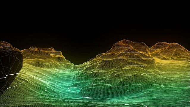
GIS wireframe flyover of a surveyed digital terrain
00:12
HD
Blue glowing digital world map looping with location data pins. 4K Video
00:20
HD
Top down view of glowing blue world map with interactive GPS location pins and data lines
00:08
HD
Glowing blue world map displays connection points continents digital grid. global business, communication, data network, logistics, cybersecurity, travel technology, news , worldwide connectivity.
00:20
HD
Military, man and typing on computer screen in control room, battle location and monitor war. Soldier, feedback or global surveillance of satellite warning, government protection and secret services
00:10
HD
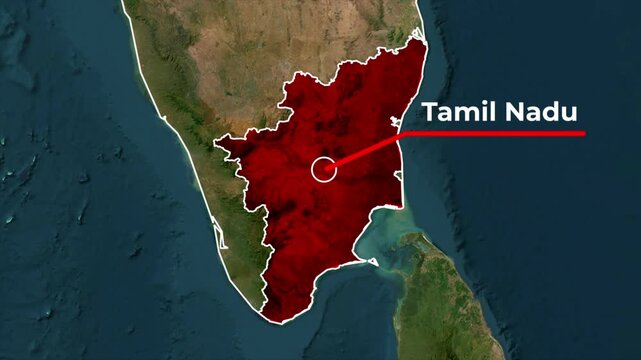
Zoomed in satellite terrain map animation of India highlighting Tamil Nadu state in red with a white outline, red callout pointer line, and blinking target location dot
00:05
HD
Prioritizing user data protection in all processes.
00:26
HD
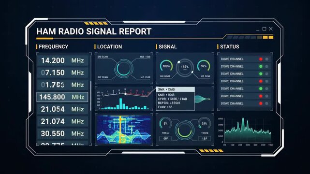
digital ham radio signal report interface displaying frequency location and status metrics with interactive wave charts and glowing data visualizations over dark tech background
00:06
HD
A futuristic digital map displaying neon location pins on a dark background, representing navigation, GPS, and modern technology.
00:10
HD
Animated blue gradient progress bar with a rounded outline, circular endpoint, location pin accent, and processing status text on a soft pastel background, ideal for data processing, software interfac
00:06
HD
Spy scanner tracking the location of the target gps signal on the night map. Gps scanner searching for the criminals location. Gps scanner analyses the specific location on a town map
00:15
HD
Scrolling digital world map background with blinking data lights and location markers of the world's major financial centres. Suitable for global technology and business and finance and concepts.
00:30
HD
Experience the dynamic Enterprise Digital Twin Operations Center with a comprehensive command view showcasing global facilities, live KPIs, and real-time data visualization in a sleek interface.

00:15
HD
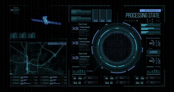
Futuristic tracking interface displays a digital satellite, city map, circular scanner and data processing indicators.
00:15
HD
Futuristic radar display, Glowing screen scanning with light rays beam on earth technology background. An air traffic control tower equipped with radar. High-tech radar scanner for flight coordinates
00:10
HD
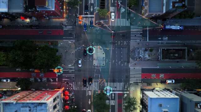
Aerial top down view of a city intersection with a digital overlay. Autonomous cars identified and tracked, showing data connection lines
00:10
HD
Digital network map with location pins and glowing data lines
00:07
HD
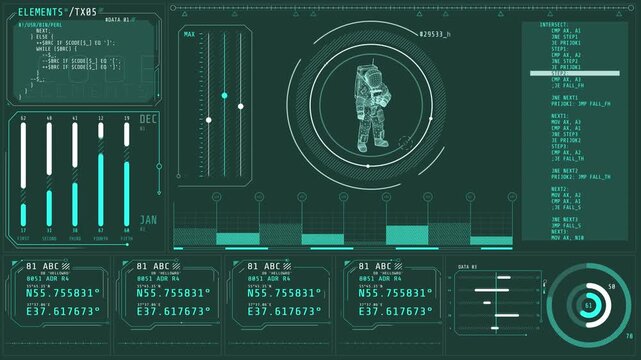
Futuristic HUD interface displaying location analytics, AI icons, and business metrics for digital data visualization.
00:30
HD
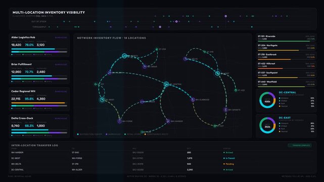
Explore a multi-location inventory visibility dashboard showcasing warehouses, stores, and distribution centers with animated data visualizations in a dark mode theme.
00:15
HD
Machine learning drives innovation with advanced digital navigation interface tablet enhancing data insight and hand interaction for optimized
00:05
HD
Aerial view of location pins connecting vast farmlands and a glowing urban city skyline at sunset, concept for smart agriculture system, logistics management and geospatial business analysis
00:05
HD
Black location pin with a dotted line connecting to the text VISAKHAPATNAM on a clean white background, representing a geographical marker for a specific place or destination
00:10
HD
Global network connecting continents with data flow and information exchange
00:15
HD
Map of India. Wire frame 3D polygonal network line Cyber digital India country global tech and innovation, Concept stock market economy. satellites program track location virtual space Indian Rupee
00:20
HD
Advanced HUD frame coordinates complex database networking files. Advanced HUD frame overlays digital user interface graphics. Creative technology with professional HUD frame.
00:11
HD
Glowing digital city map interface showing moving navigation routes and traffic data
00:20
HD
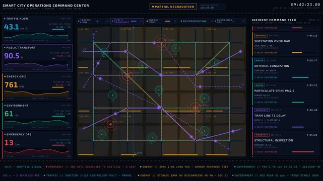
A futuristic Smart City Operations Command Center interface featuring a dynamic city map with data layers for traffic, transport, energy, environment, and emergency incidents.
00:15
HD
Business professional analyzing global market dashboard with location markers and data charts, representing geographic intelligence, market tracking and business analytics for infographic video and co
00:10
HD
A neon map of the United States featuring glowing location pins across major cities. The vibrant pink and blue tones create a modern visual representing travel, data points, and nationwide connectivit
00:10
HD
Smart city network concept with 6g, wifi, location pins and building data panels over aerial city view. Digital transformation and internet of things technology. High quality 4k footage
00:19
HD
Syria is a country found on the map of the planet. Global searching advanced system for location tracking. Satellite camera data for the modern spy technology. Earth on computer screen, UI
00:17
HD
A 3D rendered map illustration with a red location marker pin on a cityscape with roads and parks
00:05
HD
Social media networks with search and location services technology
00:16
HD
A wide futuristic control screen shows a scanned truck, route maps, and glowing violet analytics across multiple panels.
00:25
HD
Location pin bounce up  on street map .futuristic technology design.
00:11
HD
Aerial Drone Shot: Autonomous Self Driving Cars Moving Through City. Concept: Artificial Intelligence Scans Cars and Pedestrians, Following Movement and Showing Data.
00:10
HD
Aerial smart city. Localization icons in a connected futuristic city.  Technology concept, data communication, artificial intelligence, internet of things. London skyline.
00:12
HD
Port in Malaga, Spain is a transportation, business, and data center - graphic concept
00:15
HD
location icon stock animation video
00:10
HD
Men, map and computer screen with discussion for weather, environment and point for risk of wild fire. People, meteorology and planning with review of location for pattern at climate research agency
00:07
HD
Indian shipping agency employee gathering data on traffic via surveillance footage, helping delivery trucks with cargo for shipment. Operator uses gps coordinates for tracking orders. Camera A.
00:13
HD
Holding a mobile phone not receiving any wifi signal. the screen is showing the wifi icon not functioning.
00:13
HD