A link to set your password has been sent to: To access your purchases in the future you will need a password.
Create without limits — unlimited downloads, plus powerful AI editing
New filters added
Sort by

6,481 results for gises in videos

Drone topographic surveying, holographic terrain scanning and remote sensing mapping 3D animation
00:40
HD
GIS Analysts Using Computer
00:17
HD
Autonomous Vehicle LiDAR Sensor 3D Point Cloud City Street Scanning and Object Detection Loop Animation 4K
00:15
HD
China and India map animation with national flags overlay glowing borders and Chinese provinces
00:20
HD
The screen displays a contour cartography interface showing survey data, gain values, and various parameters with interactive controls. It highlights graphical representation of terrain data
00:30
HD
Abstract 3d digital map topographic elevation geographic data and terrain geography network overlay
00:06
HD
Global network connecting continents with data flow and information exchange
00:15
HD
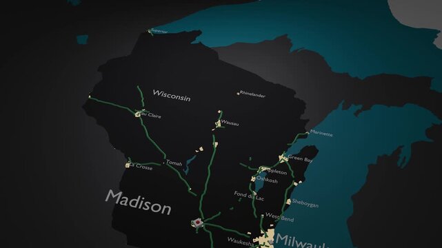
Wisconsin, USA 3D Digital Map Animation - Reveal of Roads, Cities & Boundaries, 4K Orbiting View & Zoom Out Reveal
00:18
HD
Futuristic digital globe Earth rotating on a blue HUD background, technology and global communication concept video loop.
00:20
HD
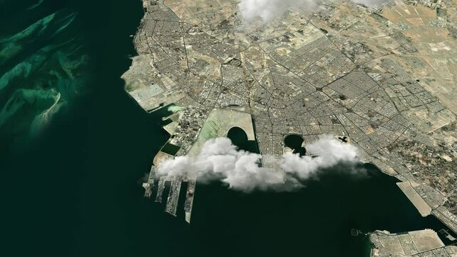
Dammam, Saudi Arabia 3D Satellite Map – Aerial Animation with Realistic Clouds
00:20
HD
Futuristic radar display, Glowing screen scanning with light rays beam on earth technology background. Futuristic tactical HUD interface tracking and eliminating an aerial threat, drone or plane.
00:20
HD
Data Heatmap Pixel Matrix Background for Big Data Analytics Visualization
00:14
HD
Earth Zoom In to Cuttack India Satellite Map Animation
00:20
HD
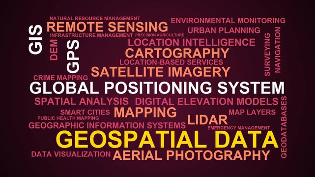
Geospatial Data Word Cloud
00:11
HD
Geographic Information System Visualization Layered Data Representation and Analysis
00:08
HD
Animated hexagon heatmap showing tiles pulsing in traveling waves with glowing accents. Geographic data pattern for analytics videos. 4K animated background.

00:15
HD
Devices interconnected by nodes on a flat map. 3D animation.
00:26
HD
Motion graphics concept demonstrating geographic information system with routing pins on a digital map
00:07
HD
A sophisticated user interface featuring an AI Generated Caption displays complex geospatial data analytics and urban foot traffic monitoring across a dark digital dashboard environment
00:06
HD
Satellite Zoom Animation From World Map To Nagpur Maharashtra India
00:10
HD
Drone surveying and terrain mapping, UAV scanning mountain forest with holographic digital sensor effect, low-altitude economy concept
00:30
HD
Urban Planner And Engineer Discuss Land Zoning
00:19
HD
Futuristic 3d hologram world map global network connections and topographic data visualization
00:15
HD
Animated Grayscale 3D Satellite Map of Panama Canal Shipping Route with Glowing Red Path and Green Cargo Ships
00:20
HD
Aerial View of New York City, New York USA — Camera Scanning a Photorealistic Detailed Map of NYC, Showing City Streets, Neighborhoods, Landmarks and Geographic Features From Above
00:12
HD
Soldier in a dimly lit military control room, intensely focused on multiple computer screens displaying crucial operational drone data.
00:18
HD
City Traffic Flow Animation with Urban Roads and Transportation Network
00:15
HD
Indiana, USA 3D Digital Map Animation - Reveal of Roads, Cities & Boundaries, 4K Zoom In Reveal
00:17
HD
Animated white pin marker pointer typing delaware on black background, for location mapping, travel directions and, geographic presentation motion
00:10
HD
World Map Global Blue Loop. This Animated World Map With Visual Effects And Glowing Connections In Different Places On The Map. Digital Technology World Map Animation. Glowing Connection
00:19
HD
Japan map animation showcasing economy, infrastructure, technology, population, energy, trade, and national development data for presentations, films, documentaries, and motion graphics.
00:25
HD
Photogrammetry 3D Model of Construction Site with Riprap, Excavation and Drone Survey – Point Cloud and Textured Mesh
00:52
HD
Location pin on digital city map with glowing roads, GPS navigation, geolocation technology, smart urban mapping, route planning, delivery tracking and travel destination
00:10
HD
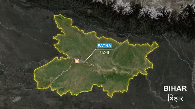
Bihar India State Map Animation with Patna Capital Location Marker, Satellite View, Glowing Border Outline, Geographic Political Map, GIS Navigation, Motion Graphics 4K
00:10
HD
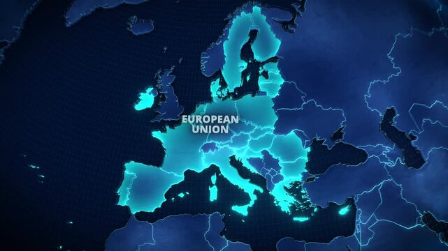
3D Map of the European Union with Glowing Cyan Member States on Dark Blue Background, Modern Geopolitical Infographic for Corporate Presentations and Broadcast News Graphics.
00:12
HD
Stratified 3D topographic lattice and telemetry mapping background
00:12
HD
Strait of Hormuz Maritime Navigation Visualization, Geospatial Data Mapping, Ocean Current Flow Animation, Seamless Loop, Topographic Contours, Maritime Traffic Monitoring, Geographic Information
00:12
HD
Digital map pins appear over dark blue terrain, connected by cyan and amber route lines to visualize geolocation and route planning.
00:08
HD
Satellite Zoom from Earth Orbit to Bouira Algeria
00:20
HD
3D Earth Animation Zooming into Calais France with Geographic Data Overlay
00:20
HD
Data visualization of a world map with a digital overlay
00:09
HD
Municipal Manager Reviews Online Permit Application Using Laptop
00:25
HD
Last Mile Delivery Urban Map Route Optimization And Autonomous Fleet Dispatch Loop Animation
00:15
HD
Nepal administrative zones map animation with India, Tibet, and Bhutan regional reveal
00:25
HD
Digital wireframe Earth globe animation with glowing communication satellites orbiting over dotted world map grid against dark space background for global network concept video
00:10
HD
Field Notes Word Cloud
00:11
HD
Futuristic blue global scanner UI analyzing planet data, planetary telemetry, and digital atmosphere metrics in a sci-fi interface.
00:20
HD
Wisconsin, USA 3D Digital Map Animation - Reveal of Roads, Cities & Boundaries, 4K Zoom In Reveal
00:18
HD
Lidar Point Cloud City Scan Rotating Sensor Sweep Seamless Loop
00:15
HD
Animated Dark Green Topographic Map with Glowing Contour Lines
00:20
HD
Business Professional Analyzing Interactive Map Data on a Laptop. A business professional uses a laptop with an interactive map interface, illustrating data analysis, digital technology, business inte

00:13
HD
Oscillating green grid landscape with emerging wireframe cube signal
00:12
HD
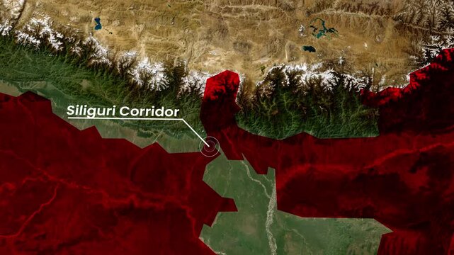
Siliguri Corridor Map Animation 4K | Strategic Land Corridor Between India and Northeast Region
00:15
HD
Glowing Global Business Map with Digital Grid Lines on a Dark Background
00:20
HD
Satellite Farming Data - technology minimalist background
00:13
HD
Virtual Tour panoramic walkthrough HUD interface animation with waypoint markers
00:15
HD
Strait of Hormuz Nightwatch Navigation Visualization, Dark Sea Map Animation, Maritime Traffic Monitoring, Seamless Loop, Geospatial Data, Topographic Lines, Nighttime Shipping Route
00:12
HD
Map pins appear over dark blue terrain, connected by cyan and amber route lines to visualize geolocation and route planning.
00:08
HD
Earth Zoom In to Al Fallujah Iraq Satellite View
00:20
HD
Earth Zoom Animation Focusing on Guwahati India with Population Data
00:15
HD
California agriculture on open data satellite video
00:19
HD
Young Woman Studies Crime Patterns On Laptop
00:17
HD
Futuristic 4K Global World Map with Real Time Statistics HUD Telemetry and Network Data
00:15
HD
Animated 3D Satellite Map Zoom of Spain with Waving National Flag Pin and Glowing Yellow Territory Borders
00:12
HD
futuristic ai geospatial data processing dashboard loop. data analytics dashboard with geospatial software interface. corporate technology background for geospatial intelligence.
00:15
HD
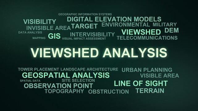
Viewshed Analysis Word Cloud
00:09
HD
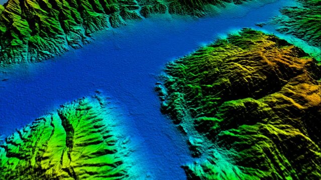
Fly over a surveyed Geographic Information System digitally rendered elevation model with isolines
00:12
HD
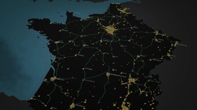
France 3D Digital Map Animation - Reveal of Roads, Cities & Boundaries, 4K Orbiting View & Zoom Out Reveal
00:18
HD
Fly-Through Experience: A Vibrant 3D Terrain Visualization - The Confluence of GIS, Cartography, Topological Modeling, Environmental Analysis, and Digital Altitude Modeling Techniques
00:20
HD
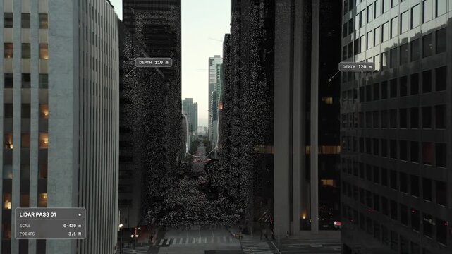
Elevated aerial push in over Los Angeles at dusk: deep street canyon between office high rises, LiDAR scan point cloud overlay with scan front and distance labels. Concept visualization
00:18
HD
The Impact of Geographic Information Systems (GIS) on Global Decision Making, Person Holding Tablet With World Map.
00:08
HD
Fiery yellow and red wireframe terrain with rhythmic oscillating waves
00:12
HD
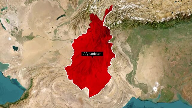
Afghanistan Map Animation with Country Border, 4K Geographic Motion Graphic
00:13
HD
Futuristic Radar Scanner Interface with geospatial data analysis for technology
00:20
HD
Military command center with soldiers at desks monitoring a curved wall of screens showing mountainous terrain maps and satellite data.
00:10
HD
Abstract Breathing Topographic Contour Lines Animated Technology Background
00:15
HD
Professional drone equipped with a lidar sensor scanning a forest path, collecting 3d spatial data for mapping and surveying, demonstrating advanced remote sensing technology
00:06
HD
A detailed topographic map with contour lines indicates elevation changes in rugged terrain. Various colors highlight different altitudes, and labels identify geographical features.
00:19
HD
3D Animation Zooming From Outer Space Into New Zealand
00:30
HD
3D Earth Animation Zooming into Bodrum Turkey with Demographic Data Overlay
00:15
HD
Military soldier operating advanced technology in a command center.
00:28
HD
Municipal Permit Manager Reviews Online Application Using Laptop
00:23
HD
A digital 3D map terrain highlighting intricate topography, with elevation contours and spatial data layers visible for advanced geographic analysis
00:10
HD
Depth map of a car engine bay showing color-coded distance data and structural geometry of internal components in a technical, abstract visualization.
00:17
HD
The globe rotates on its axis, depicting the Earth's natural features such as continents, oceans, and mountains. As it spins, it gives a sense of the Earth's movement and helps us visualize the planet
00:12
HD
A futuristic digital map with a glowing location pin, representing navigation and technology in an urban environment.
00:10
HD
4K Animation of Multiple Location Pins on Futuristic Digital Map
00:10
HD
Belarus 3D Digital Map Animation - Reveal of Roads, Cities & Boundaries, 4K Zoom Out Reveal
00:18
HD
3D earth map blue digital hologram display Generative AI
00:08
HD
Tropical Cyclone Weather Radar Map Animation, Meteorological Visualization, Weather Forecasting Technology, Rainfall Intensity Mapping, Geographic Information Systems, Climate Monitoring, Data
00:15
HD
Close-up of analyst highlighting terrain features and environmental changes on digital satellite overlays, highlighting data-driven military research, AI-assisted geospatial analytics, and
00:10
HD
Digital Map with Location Markers, Advanced GPS Navigation, Futuristic Global Positioning Technology, Virtual Geographic Data
00:10
HD
Discover an intricate digital map highlighting global connections and data flow across various regions and networks
00:10
HD
A digital map featuring interconnected location pins, symbolizing global network connectivity and geographic information technology. 4K Animation concept of geolocation maps for business.
00:10
HD
pulsing location signals and geospatial telemetry 4k map data visualization animation
00:15
HD
Vibrant city map visualization highlighting data points and connections
00:07
HD
Information model of an infrastructure area in a dense point cloud obtained by laser scanning
00:20
HD
A digital representation showcases a global network with user icons connected by lines, emphasizing real-time data points across various regions, illustrating interconnectivity
00:10
HD
Earth Zoom In to Clermont-Ferrand France Satellite View
00:20
HD
Earth Zoom Animation Focusing on Guayaquil Ecuador with Population Data
00:15
HD