A link to set your password has been sent to: To access your purchases in the future you will need a password.
Create without limits — unlimited downloads, plus powerful AI editing
New filters added
Sort by

8,395 results for continental in videos

Radar screen animation sweeps tracking beams across continental terrain. Global monitoring data routes on radar screen. Planetary detection systems use the screen.
00:12
HD
Members of the Continental Congress representing the different states. Fragment of the back side of the two-dollar bill with The process of signing the US Declaration of Independence July 4, 1776
00:34
HD
Document versions and hash tiles share continental links
00:11
HD
Glowing globe slowly enlarges with illuminated continental outlines and cascading light trails against dark purple background, revealing curved blue rim and bright white flares
00:05
HD
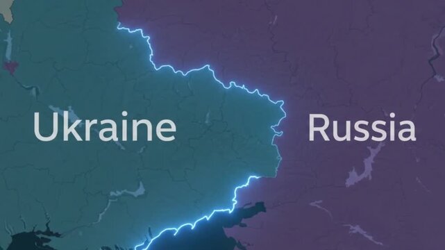
Ukraine and russia border highlighted on a digital continental map
00:10
HD
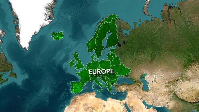
Detailed satellite map of Europe highlighting continental borders
00:12
HD
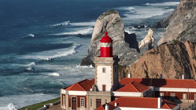
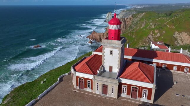
View of Lighthouse at Cabo da Roca, the westernmost point of continental Europe in Portugal, the Sintra. Aerial View.
00:15
HD
Animated scientific diagram showing formation of royal amethyst geode from continental flood basalt vesicular void through silica infiltration agate priming and iron quantum transition
00:59
HD
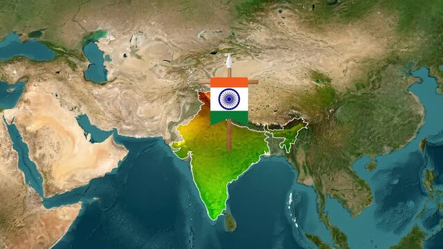
India national flag animation waving over continental map video footage
00:15
HD
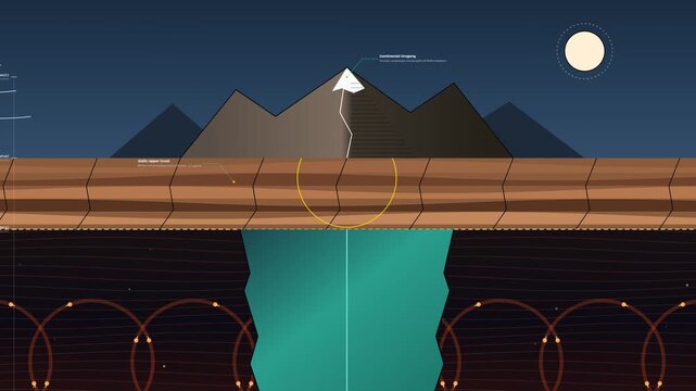
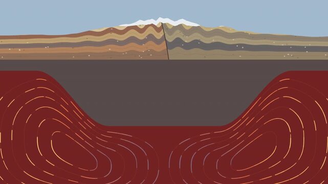
Flat design animation showing continental isostasy principle with mountain peg root floating on viscous mantle and mantle convection circulation
00:59
HD
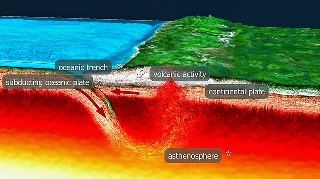
Oceanic–continental plate collision causes the denser oceanic plate to subduct beneath continental crust.
00:33
HD
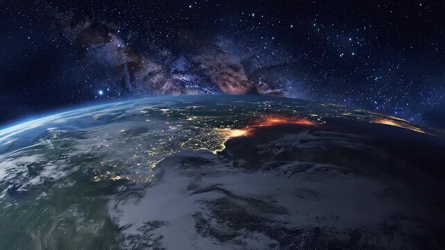
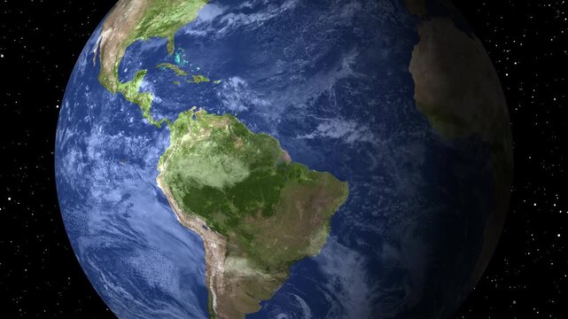
Visible details include continental surfaces, the Pacific Ocean, atmospheric clouds, and city lights glowing on the night side of the planet.
00:30
HD
World map composed of small gray circles gently changing brightness across fixed continental shapes, with a minimal dotted pattern isolated on white background animated illustration
00:30
HD
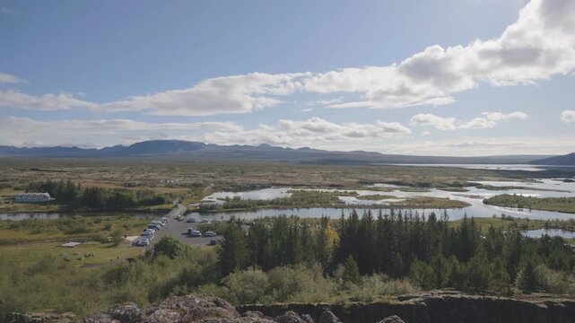
Iceland - August  31, 2026: Continetal Lift or Valley between the mid atlantic ridge at Þingvellir in Iceland
00:19
HD
Map outline animation displays continental territory boundaries across screen space. Geographic waypoint navigation telemetry routes on map outline. Consoles use it.
00:12
HD
Peanut plant bushes growing in garden. Cultivation of groundnuts in open ground in temperate continental climate. Organic monkey nut sprout. Summer. Agriculture

00:16
HD
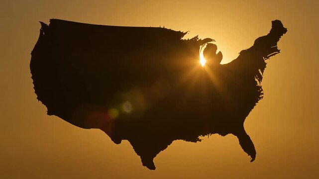
Golden sunrise glowing behind the dark silhouette of the continental United States with lens flare, new beginning and hope concept for America
00:05
HD
Aerial view of Pointe Corsen, a cape at the westernmost point of continental France on the Breton coast, on the right the beach Plage de Corsen, on the left the beach Plage des Charettes, on the hori
00:33
HD
Outline drawing animation of Australia map showing continental borders in black line art.
00:16
HD
Glowing world map animation showcasing illuminated continental borders
00:06
HD
Interface overlay animation displays digital continental telemetry readouts. Telecom network telemetry routes on interface overlay. Surveillance consoles use overlay.
00:12
HD
Radar map animation displays continental territory terrain with scanning signal beams. Geographic surveillance tracking telemetry routes across active radar map online.
00:12
HD
Global expansion showing Earths orbiting in space with atmospheric glow and continental detail during night
00:06
HD
Luminous digital Earth rotates steadily against dark blue technology interface, showing bright continental outlines, fine map grids, data panels, and layered cyan light
00:05
HD
Continental Army Soldiers Marching in Formation on a Grassy Field Under a Partly Cloudy Sky
00:06
HD
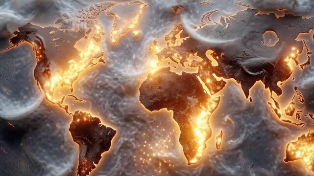
Glowing Africa Earth view from space showing immense geothermal energy and fiery continental heat on the planet
00:10
HD
Digital globe animation displays continental territories linked to a central chip. Global telecommunication network telemetry routes on digital globe. Consoles use it.
00:12
HD
Global supply chain logistics network with golden cargo flight arcs and maritime transport routes connecting continental trade hubs on dot map in seamless loop
00:10
HD
Futuristic world regions interface displaying glowing continental overview maps
00:15
HD
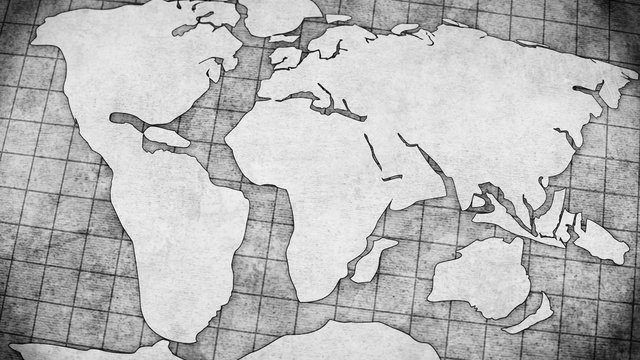
Illustration of continental drift simulation. 3D globe reveals supercontinent Pangea in vast primeval ocean
00:10
HD
Hotel buffet counter with assorted pastries and croissants. Fresh baked goods displayed for continental breakfast in a restaurant. Hospitality concept
00:05
HD
Pangaea Breakup Animation: A digital visualization showing the separation of the supercontinent into modern landmasses through continental drift
00:07
HD
World map concept formed from tiny gray squares with subtle changes in brightness across recognizable continental silhouettes, maintaining a fixed layout isolated on white animated illustration
00:30
HD
A delicious and healthy continental breakfast spread featuring yogurt parfait, fresh fruit, toast with honey, and orange juice.
00:06
HD
Glowing continental combine numeric figures, chart lines bar columns financial interface. market monitoring risk analysis, banking presentations, economic research international investment overviews.
00:20
HD
Glowing red 3D globe with raised continental relief on a black background
00:05
HD
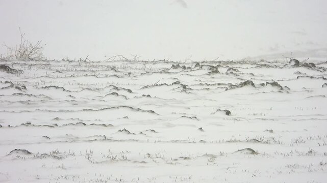
Winter blizzard sweeps treeless snowy plain under harsh continental climate conditions.
00:14
HD
Planet earth's dynamic internal structure reveals glowing molten core, convective mantle, solid crust, active volcano, moving tectonic plate, geological process, planetary formation, geosphere.
00:08
HD
A glowing neon map showing interconnected points across a vast continental landmass
00:08
HD
Professional animated collection of European continental national flag stickers featuring smooth floating, scaling, and seamless looping motion. Perfect for geography education, travel documentaries
00:12
HD
Circuitry animation overlays motherboard paths on continental terrain. Regional telecom network data routes on circuitry. Consoles operate with circuitry online.
00:12
HD
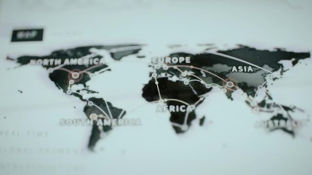
World map animation displays continental borders on dark space. Global telecom network data routes across map. Cartography monitoring consoles use active map online.
00:12
HD
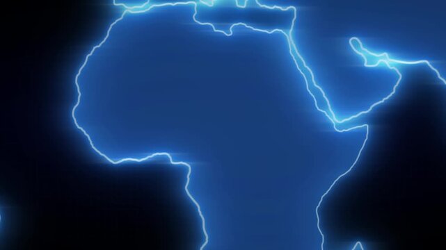
Africa map revealing with fiery gradient showing continental outline and text label video african continent world geography reveal gradient yellow glow orange
00:23
HD
Glowing blue globe rotates against dark background, revealing illuminated continental outlines, radiant edge flares, and fine network lines across a centered spherical world visualization
00:05
HD
Woman serving herself at a hotel breakfast buffet with a selection of fresh breakfast foods. Travel concept of hospitality, self-service dining, accommodation, and continental breakfast.
00:13
HD
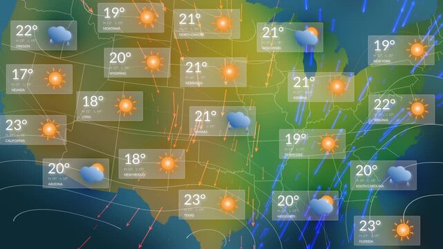
Comprehensive USA Weather Forecast Map Animation Showing All States With Temperature Readouts, Sunny and Rainy Icons, Animated Precipitation Streaks, and Directional Wind Arrows for TV Meteorology.
00:19
HD
Satellite view of Africa and South America showing continental drift resemblance, Realistic and educational satellite view, Great for geography and educational projects.
00:06
HD
World network map pulses across linked continental nodes
00:11
HD
Woman's hand using tongs to pick up a slice of fresh melon from a self service buffet in a hotel restaurant, choosing healthy food for a balanced continental breakfast on vacation
00:07
HD
Illustration of continental drift simulation. Australia detaches from Antarctica drifting into warm waters
00:10
HD
Planet Earth is formed from thousands of shimmering gold and orange digital particles that trace continental outlines and a global data network.
00:30
HD
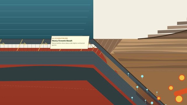
Educational geological animation showing the subduction zone process where heavy oceanic basalt plate subducts under continental crust creating magma that rises to form a stratovolcano eruption
00:59
HD
Peanut plant bushes growing in garden. Cultivation of groundnuts in open ground in temperate continental climate. Organic monkey nut sprout. Summer. Agriculture

00:15
HD
A continental breakfast stack of golden pancakes topped with melting butter and dripping maple syrup.
00:08
HD
International market research matrix identifying overseas business opportunities and continental trade corridors
00:20
HD
Tectonic plates movement animation: geological earth science concept geology continental drift seismic activity
00:10
HD
Winter blizzard sweeps treeless snowy plain under harsh continental climate conditions.
00:20
HD
Radar scope animation sweeps tracking beams over continental terrain. International territory surveillance telemetry routes on radar scope. Consoles use active scope.
00:13
HD
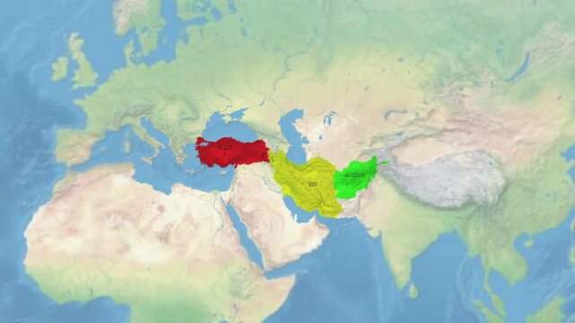
Map view highlighting turkiye iran and afghanistan on a continental background with geography
00:15
HD
Cyan continental outlines central digital globe, concentric rings fine light trails. futuristic world broadcast titles, global connectivity explainers, mapping concepts, international technology video
00:20
HD
Digital globe animation displays continental coordinates in cosmic space. Telecom network data routes on digital globe. Surveillance systems operate with globe.
00:12
HD
World map animation formats digital network connections. Global world map animation interfaces continental land graphics. Corporate world map animation tracks international commerce.
00:12
HD
Abstract continental plates shifting position on spinning globe in dark cosmic space animation.
00:10
HD
Planet globe animation projects continental geographic land mass profiles on black. Global communication network dashboards implement a planet globe animation backdrop loop.
00:13
HD
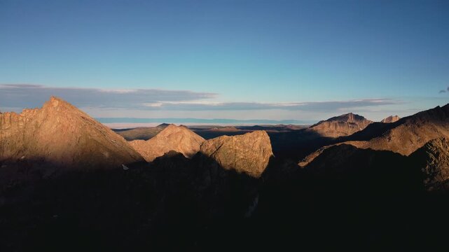
Aerial drone footage sweeping over the Wind River Range in Wyoming, revealing jagged alpine peaks along the Continental Divide Trail region.
00:27
HD
Radar interface animation displays continental map details in rings. Target surveillance data guides active radar interface. Sonar detection tracking monitors it.
00:11
HD
View of Cabo da Roca, the westernmost point of continental Europe in Portugal, the Sintra Region. Aerial Ocean View.
00:26
HD
Worldwide payment routes connect labeled continental hubs
00:10
HD
4K horizontal clip of a fresh stack of round breakfast pancakes topped with melting butter and syrup honey. Clean animation depicting continental breakfast dining options for landscape video.
00:10
HD
Illustration of continental drift simulation. Tectonic cracks fracture crust over glowing red magma pulses
00:10
HD
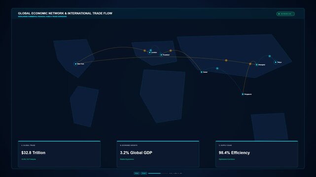
Sophisticated global economic network visualization featuring accurate continental silhouettes, 7 major financial hubs, curved international trade corridors, moving cargo shipments, and global trade d
00:08
HD
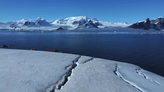
Aerial view of cracked glacier in Antarctica. Forward drone flight captures fractured ice shelf moving toward distant continental mountain range under bright natural daylight.
00:12
HD
Peanut plant bushes growing in garden. Cultivation of groundnuts in open ground in temperate continental climate. Organic monkey nut sprout. Summer. Agriculture
00:18
HD
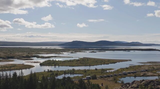
Reykjavik,Iceland - August 31, 2026: Gjá or continental life in 	Þingvellir National Park
00:15
HD
Map of Africa animation outlines continental terrain on dark space. Global geographic cartography data guides map of Africa. Worldwide surveys frame map of Africa.
00:12
HD
Glowing blue neon outline map of the continental United States appearing on a dark navy background, USA map reveal animation
00:05
HD
Winter blizzard sweeps treeless snowy plain under harsh continental climate conditions.
00:18
HD
Planet globe animation projects illuminated continental nighttime city light meshes. International environmental monitoring systems apply a planet globe animation track. Loop.
00:13
HD
concept of continental drift animation 4k (4096x2304)
00:11
HD
Rotating planet earth revealing continental city lights against dark oceanic expanse, starry cosmic backdrop highlighting global nighttime illumination and planetary movement
00:09
HD
Stamp animation imprints alert text over continental borders. Counterfeit security detection data routes on stamp. Authentication consoles use active stamp online.
00:10
HD
World map animation displays illuminated continental territory borders. Global telecom routing data streams along world map. Tracking consoles operate with map online.
00:12
HD
American Revolutionary War soldiers, possibly Continental Army, rallying triumphantly in battle.
00:08
HD
Digital globe animation displays continental landmasses. Telecommunication networks route across digital globe. Planetary satellite data infrastructure powers digital globe.
00:13
HD
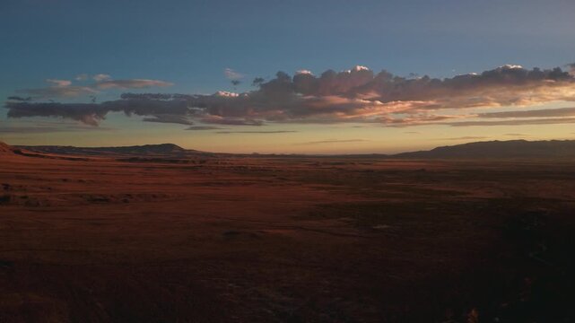
Aerial drone footage capturing vast desert landscapes along the Continental Divide Trail in New Mexico, showcasing arid plains, mesas, and rugged terrain under expansive skies.
00:30
HD
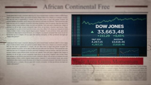
African Continental Free Trade Area Gains Momentum Newspaper Style Headline Titles
00:10
HD
Lighthouse on Cabo da Roca, the westernmost point of continental Europe in Portugal, the Sintra Region. Aerial View.
00:19
HD
Flying over mountain stream runs down slope through roots, fallen trees, stones. Cold creek mossy rocks. Green moss on cold creek rocks. Forest subtropical and continental climate
00:07
HD
Close up shot of a luxurious breakfast with various fruits, snacks and champagne served on terrace with beautiful view on winter mountains - luxury lifestyle concept 4k footage
00:16
HD
Illustration of tectonic collisions. Deep mantle currents drive a continental collision folding the crust
00:10
HD
A geologic section animation depicting one of the processes of Plate Tectonics where two continents collide creating Mountains over millions of years.
00:12
HD
Landscape of Humid continental climate zone. View from car
00:07
HD
Peanut plant bushes growing in garden. Cultivation of groundnuts in open ground in temperate continental climate. Organic monkey nut sprout. Summer. Agriculture
00:17
HD
Satellite orbiting above a glowing continental landmass displayed inside a futuristic circular radar display.
00:10
HD
Tectonic Plates Grind Beneath Surface, Cracking Text Into Jagged Rock Segments – Earthquake And Geology Animation
00:08
HD
Soft watercolor texture map of the continental United States in pastel blue and beige tones with slow gentle zoom, USA silhouette background
00:05
HD
Winter blizzard sweeps treeless snowy plain under harsh continental climate conditions.
01:00
HD
Global network infrastructure lines bridge continental communication nodes across maps. International logistics transport platforms utilize global network infrastructure lines.
00:09
HD
Lisbon Panorama. Aerial view. Lisbon is the capital and the largest city of Portugal. Lisbon is continental Europe's westernmost capital city and the only one along the Atlantic coast.
00:28
HD
Tourists watching humpback whale lunge feeding over the continental shelf off of Spitzbergen in Svalbard, Norway.
00:15
HD