A link to set your password has been sent to: To access your purchases in the future you will need a password.
Create without limits — unlimited downloads, plus powerful AI editing
New filters added
Sort by

1,667 results for bicol in videos

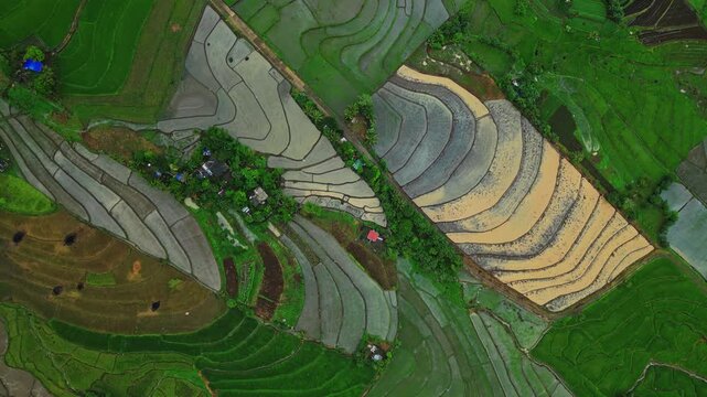
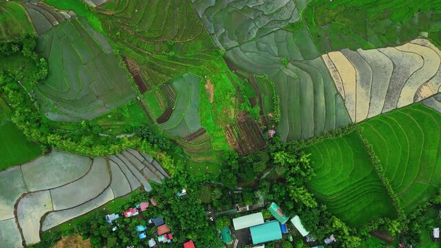
Wide drone view over flooded rice paddies in Salvacion, Tigaon, where golden sunlight creates bright reflections across the agricultural landscape.
00:28
HD
Aerial drone view of a road bridge with cars and lights in Sorsogon City Coastal Road West, Bicol, Philippines
00:16
HD
Earth Orbit Zoom In to Legazpi City Philippines Pin Map Animation
00:20
HD
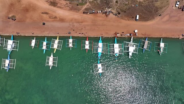
Aerial view of a long row of traditional outrigger boats moored in turquoise water along the white sand shore of Subic Beach on Calintaan Island, Matnog, Sorsogon, Philippines
00:17
HD
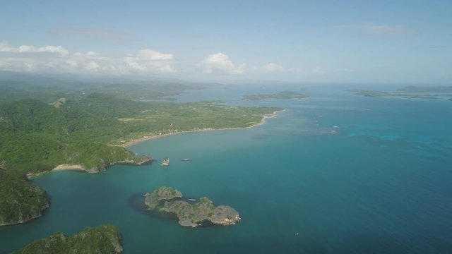
Aerial view islands with sand beach and turquoise water in blue lagoon among coral reefs, Caramoan Islands, Philippines. Landscape with sea, tropical beach.
00:14
HD
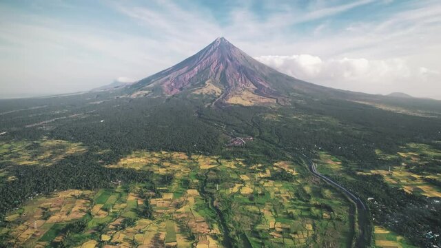
Aerial Mayon Volcano in Legazpi City Albay, Philippine. Camera go dowm, making vertical panorama. Nature background. Travel, outdoor tourism, holiday, journey. Beautiful wild landscape. Cinematic shot

00:10
HD
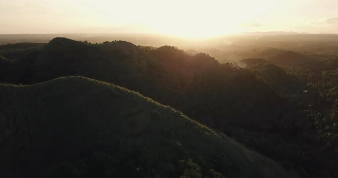
Aerial view of green hills at sunset, Bicol, Philippines
00:22
HD
Aerial views the ruins of Cagsawa church, showing Mount Mayon erupting in the background. Cagsawa church. Philippines.
00:17
HD
Timelapse view of historical landmark Cagsawa Ruins and Mount Mayon volcano near Legazpi City, Albay, Philippines.
00:15
HD
Close up of the volcano Mount Mayon, Legazpi, Philippines
00:19
HD
Airplane Landing Bicol Region
00:08
HD
Bicol Philippines region map outline animation
00:07
HD
Time lapse of clouds moving around  symmetrical stratovolcano cone against blue sky
00:29
HD
Bicol express, close-up of a spicy coconut pork stew with chili, served with rice, vibrant colors, and rich textures in a Filipino kitchen
00:10
HD
Manlawi Sandbar floating cottages in Caramoan Islands. A floating native cottage on a sandbar in the tourist island of Caramoan in the Philippines
00:16
HD
Laing is a Filipino dish of shredded or whole taro leaves with meat or seafood cooked in thick coconut milk spiced with labuyo chili, lemongrass, garlic, shallots, ginger, and shrimp paste
00:08
HD
Aerial Drone Bird's Eye Top Down View of multiple Filipino Outrigger Bangka Boats moored to a quaint dock, revealing tropical village town and settlers inland. Vacation shot from the Philippines
00:20
HD
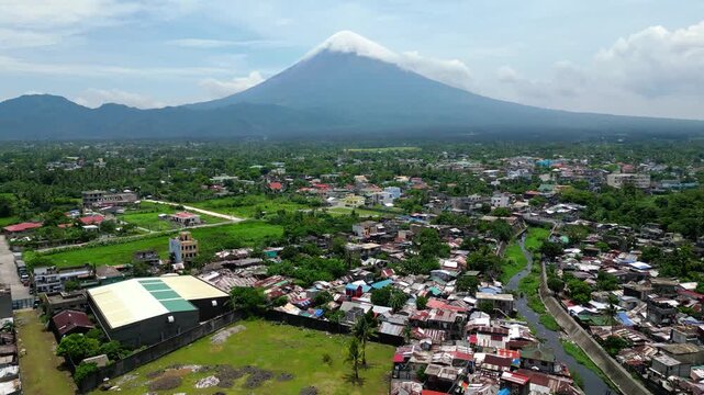
The majestic Mayon Volcano rising above lush tropical jungles in Albay, Philippines
00:30
HD
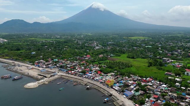
Aerial view of Mayon Volcano, iconic mount and popular tourist destination - Legazpi City, Albay province, Philippines, Pacific Ocean
00:14
HD
Seascape of Caramoan Islands, Camarines Sur, Philippines.
00:15
HD
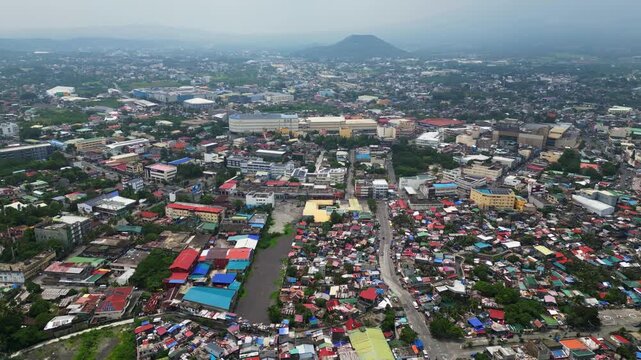
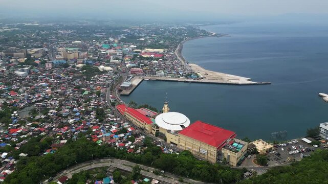
Aerial footage of Legazpi City, Albay, Philippines, flying inland from the Legazpi Port District towards Pacific Mall and Rizal Avenue
00:25
HD
Aerial drone view of a road bridge with cars and lights in Sorsogon City Coastal Road West, Bicol, Philippines
00:13
HD
Philippines islands, in the western Pacific Ocean, in planet earth, aerial view from outer space
00:30
HD
Aerial view of a long row of traditional outrigger boats moored in turquoise water along the white sand shore of Subic Beach on Calintaan Island, Matnog, Sorsogon, Philippines
00:17
HD
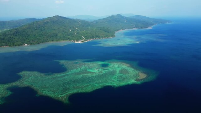
Aerial view Matukad island with sand beach and turquoise water in blue lagoon among coral reefs, Caramoan Islands, Philippines. Landscape with sea, tropical beach.
00:16
HD
Magayon volcano of perfect symmetric conical shape by sea with boats under orange morning sky time lapse. Concept travel paradise tourism. Exotic landscape. Bicol Region Luzon island Philippines. 4K
00:08
HD
Aerial view of Cagsawa ruins and Mayon volcano, Legazpi, Philippines
00:24
HD
The ruins of Cagsawa church, showing Mount Mayon erupting in the background. Cagsawa Albay Philippines. Shooting in motion.
00:33
HD
Timelapse view of historical landmark Cagsawa Ruins and Mount Mayon volcano near Legazpi City, Albay, Philippines.
00:12
HD
A lot of fresh fish are in the ice on the counter in the market ocean sea Pomfret Mackerel Sardine Tuna Seer Fish Anchovy Barracuda Snapper Grouper Trevally
00:33
HD
Airplane Take off Bicol Region during a wonderful sunrise
00:08
HD
White ash clouds emit from Mayon volcano crater on a clear day. selective focus
00:08
HD
a small house in the woods
00:55
HD
Filipino bicol express, spicy pork stew cooked with coconut milk and chili, served in a traditional bowl
00:10
HD
Tropical island with trees and rocks. Summer and travel vacation concept. Seascape with beautiful sky and islands.
00:18
HD
Laing is a Filipino dish of shredded or whole taro leaves with meat or seafood cooked in thick coconut milk spiced with labuyo chili, lemongrass, garlic, shallots, ginger, and shrimp paste
00:12
HD
Aerial Drone Bird's Eye Top Down View of multiple Filipino Outrigger Bangka Boats moored to a quaint dock, revealing tropical village town and settlers inland. Vacation shot from the Philippines
00:16
HD
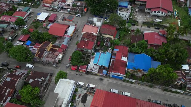
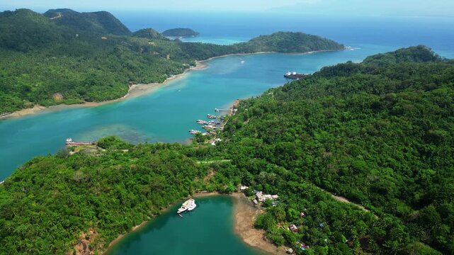
Drone Aerial View of the town of Bulawit,near Coron in the Philippines.
00:21
HD
Aerial view of coast of Albay Gulf - Legazpi City, Albay province, Philippines, Pacific ocean
00:16
HD
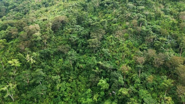
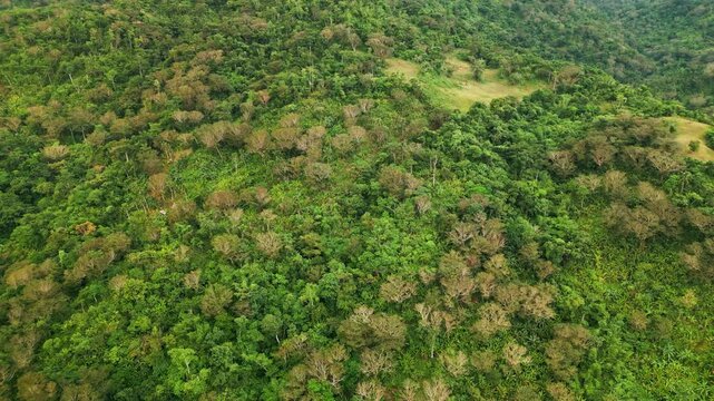
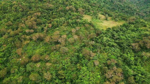
Panoramic aerial view over dense jungle canopy rich with abaca and narra trees - Catanduanes, Bicol, Philippines
00:19
HD
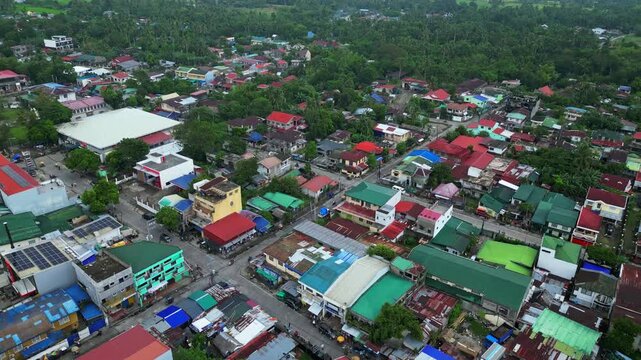
Goa Town Aerial View Along Governor Jose T. Fuentebella National Highway, Philippines
00:29
HD
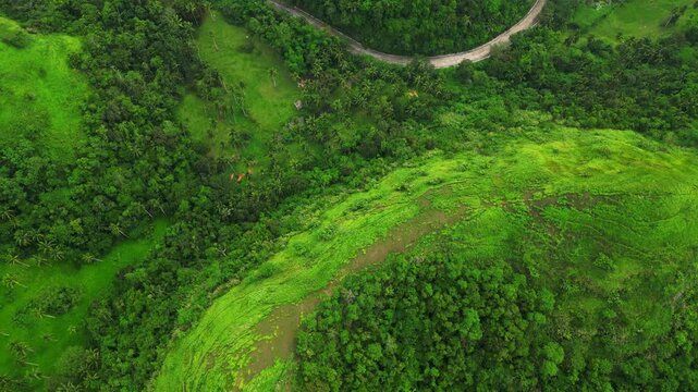
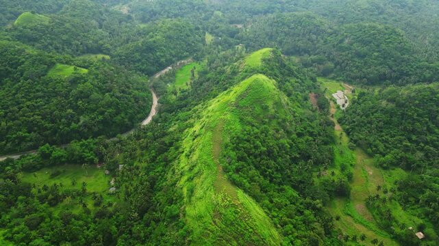
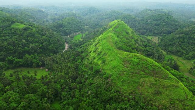
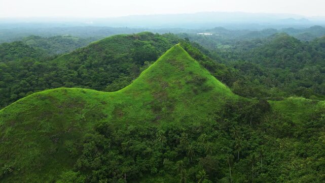
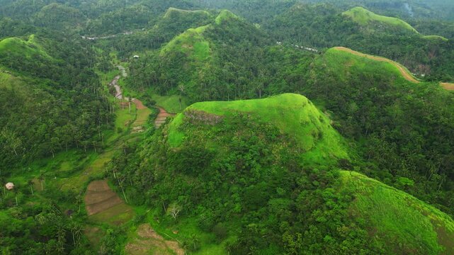
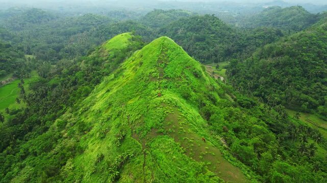
Scenic drone view of the Quitinday hill landscape in Camalig, Albay, highlighting the lush vegetation, rounded hills and expansive rural setting.
00:15
HD
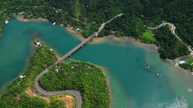
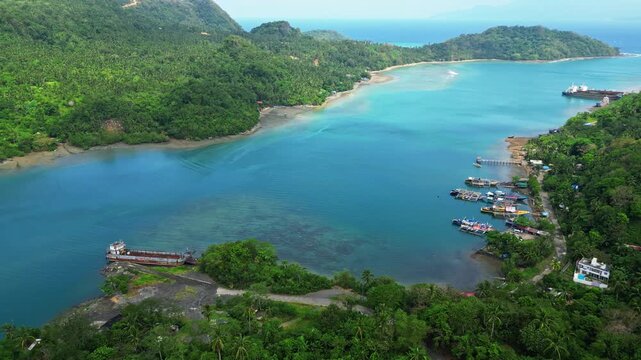
Aerial view from Cagraray View Deck overlooking the tropical coastline and islands of Albay, with Nagtaquin Island and surrounding waters visible under soft cloudy light.
00:23
HD
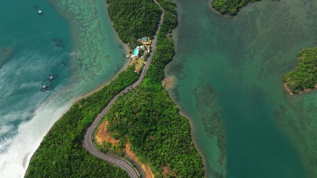
Elevated drone perspective over Cagraray Pass and its roadside guardrail, capturing the dramatic transition from the viewpoint to blue coastal waters and distant Liguan and Cawayan Islands.
00:11
HD
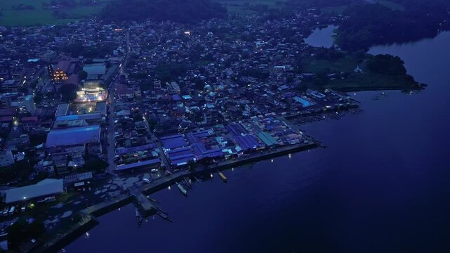
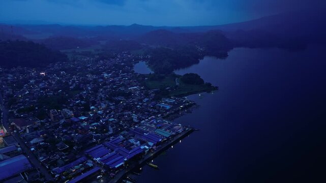
Aerial view over Buhi town and Lake Buhi at dusk in Camarines Sur, Philippines, with Mount Asog, also known as Mount Iriga, in the background. Santa Cruz barangay is visible in the distant landscape.
00:19
HD
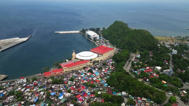
Aerial footage of the waterfront surrounding Embarcadero de Legazpi in the Legazpi Port District, Albay, Philippines. The coastal landscape along Albay Gulf features harbor-side development, roads, co
00:35
HD
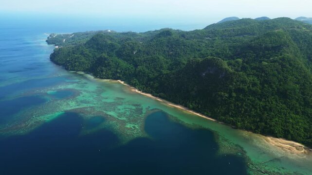
Aerial overhead shot of Virac, Catanduanes with lush tropical forest, rocky coastline, and clear coastal water along the shoreline
00:14
HD
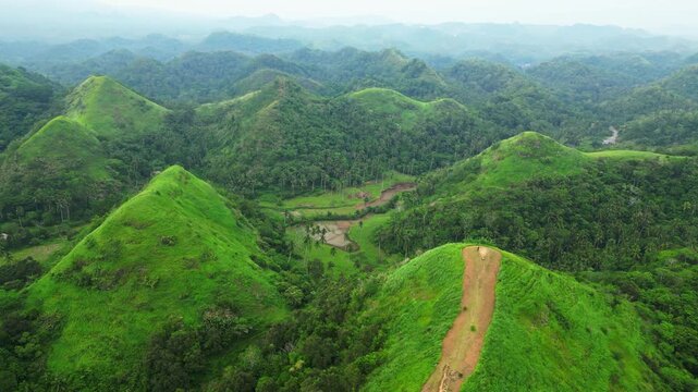
Drone aerial view of the natural green hills of Quitinday, Camalig, revealing a dramatic tropical landscape shaped by rounded hills and open grassland.
00:43
HD
Aerial view over Buhi town and Lake Buhi at dusk in Camarines Sur, Philippines, with Mount Asog, also known as Mount Iriga, in the background. Santa Cruz barangay is visible in the distant landscape.
00:37
HD
Daytime drone footage of the rolling hills of Quitinday in Camalig, Albay, showcasing the area's distinctive green landscape and natural hill formations from above.
00:16
HD
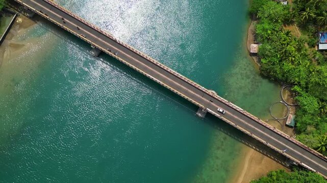
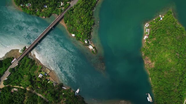
Overhead drone view of the Sula Bridge area on Cagraray Island, revealing Angel's Corner, Misibis Road and a vivid blue tropical lagoon near Bacacay, Albay.
00:40
HD
Sunny top-down aerial view of Sula Bridge and Angel's Corner along Misibis Road on Cagraray Island, Bacacay, Albay, revealing vivid blue lagoon waters and tropical scenery.
00:39
HD
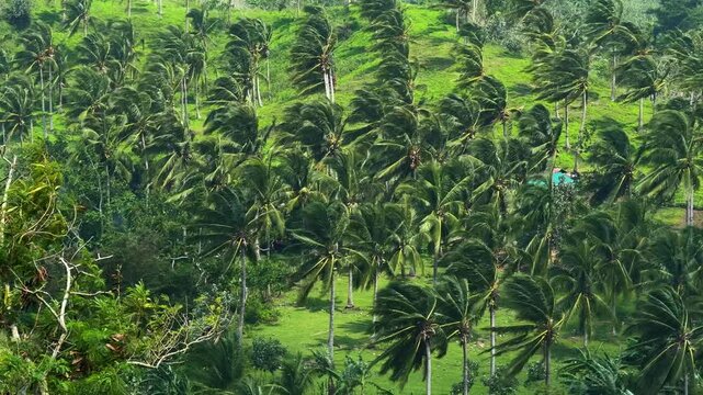
Strong Wind Blowing Through Palm Trees
Ground-level footage of tall palm trees swaying intensely in strong winds along the Sagrada to San Ramon road near Iriga City, Camarines Sur, Philippines. The pa
00:14
HD
Blue hour footage of Mayon Bypass Road in Albay, Philippines, as the sky turns deep blue after sunset. The fading daylight creates a calm evening atmosphere along this road in the Bicol Region.
00:45
HD
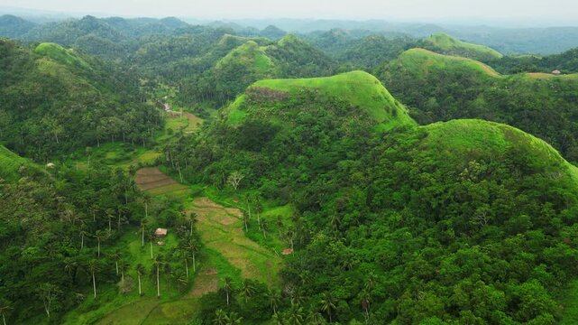
High-altitude aerial view of Quitinday Hills in Camalig, Albay, revealing the unique pattern of rounded green hills across the tropical countryside.
00:25
HD
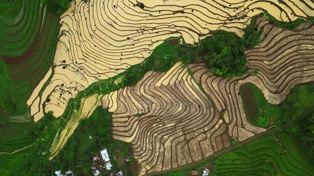
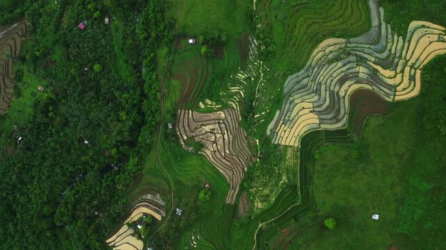
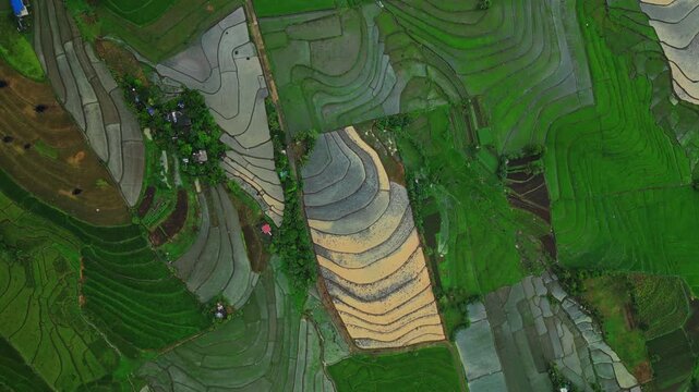
High-quality aerial drone footage revealing abstract patterns formed by yellow and green rice paddies in Cam Sur, Philippines. Curved field boundaries, agricultural pathways and contrasting vegetation
00:47
HD
Drone perspective sweeping across Quitinday Hills in Camalig, Albay, revealing a sea of rounded green ridges and open grasslands shaped across the Bicol landscape.
00:21
HD
Drone footage of Baltog Bridge crossing the Macabalo River in Legazpi City, Albay, Philippines. The bridge connects nearby urban areas and forms part of the local road network serving surrounding resi
00:16
HD
Daytime aerial view over Quitinday Green Hills Formation Reserve in Camalig, Albay, showing the distinctive rolling terrain and lush landscape of this Bicol tourist attraction.
00:24
HD
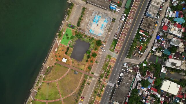
Drone view of Sawangan Park along the waterfront of Legazpi City, Albay, Philippines. The footage reveals the layout of the public park, access roads, landscaped areas, and nearby urban infrastructure
00:39
HD
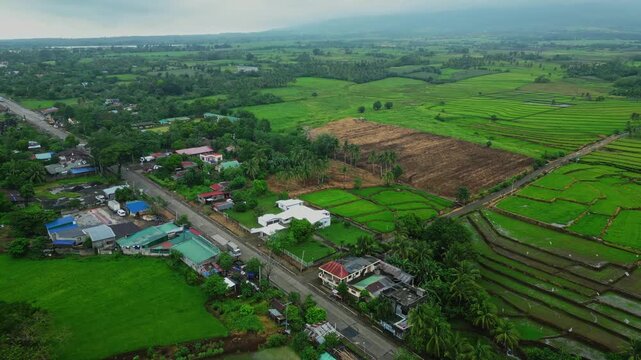
Aerial shot of the agricultural countryside surrounding Salvacion, Tigaon, where rice fields extend around La Salvacion National High School.
00:19
HD
Aerial landscape view of Quitinday Hills in Albay, Philippines, capturing layers of green rolling hills and the surrounding countryside of the Bicol Region.
00:33
HD
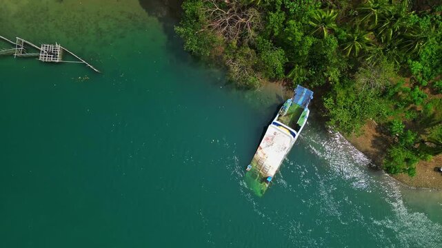
Abandoned boat resting near the coastline of Cagraray Island close to Sula Bridge, captured from above with tropical vegetation, coastal waters and the surrounding island landscape.
00:15
HD
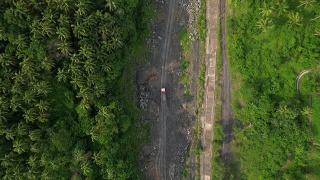
Wide Aerial of Quarry Truck Operations
Wide aerial establishing shot of construction trucks working across a gravel and sand quarry in Quirangay, Albay, Philippines. The vehicles move through an exten
00:23
HD
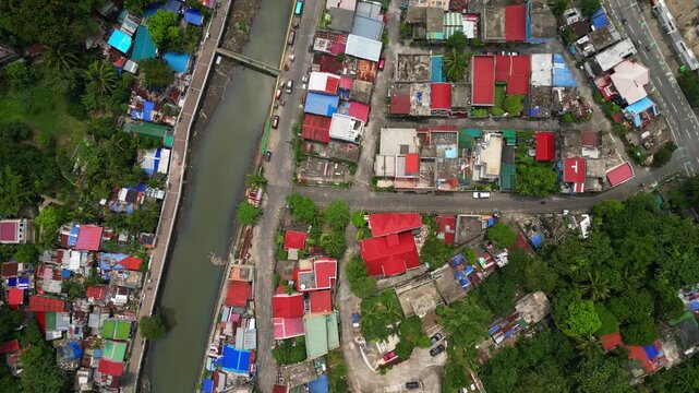
Aerial view of the Macabalo River in Legazpi City, Albay, Philippines, flowing through residential neighborhoods and developed urban areas. The footage captures the river corridor, surrounding houses,
00:16
HD
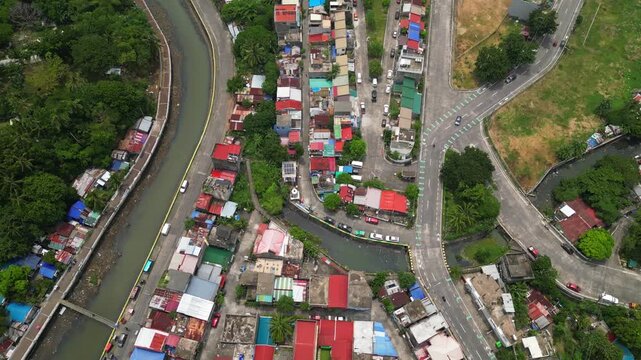
San Roque Boulevard Along Tabaco Waterfront, Tabaco City, Philippines
00:28
HD
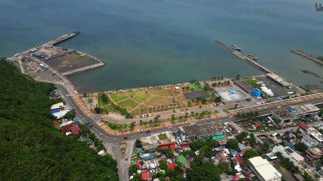
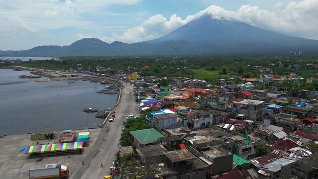
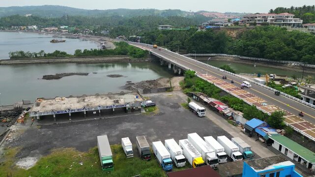
Aerial footage of Legazpi City Fishport in Legazpi City, Albay, Philippines. The coastal fishing port serves the local fishing industry and maritime economy of the Bicol Region. Drone footage captures
00:20
HD
Drone footage flying above an intricate landscape of green and yellow rice paddies in San Jose, Camarines Sur. The fields form flowing lines, geometric divisions and contrasting textures of nature.
00:24
HD
San Roque Boulevard and Tabaco Port Waterfront, Albay, Philippines
00:16
HD
Wide aerial view from Sula Angling Spot showing a wrecked tanker in the blue coastal waters of Cagraray Island, with lush tropical scenery and surrounding coastline revealed from above.
00:26
HD
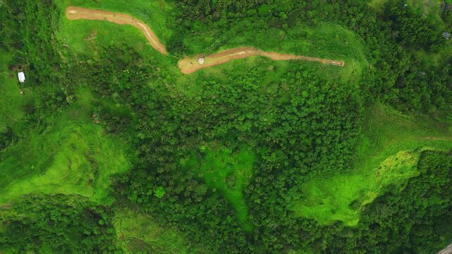
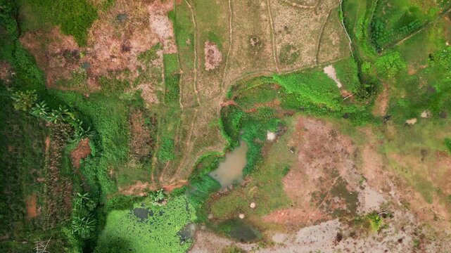
Aerial reveal from wet farmland and a narrow creek to hillside homes, gardens, and winding dirt roads - Obo, San Miguel, Catanduanes, Philippines
00:20
HD
Bird's-eye aerial view of Quitinday Hills in Camalig, Albay, revealing the scale and unique shape of the green hill formations surrounded by tropical countryside.
00:23
HD
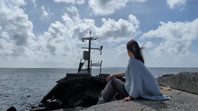
Wide static shot of a young Asian woman in loose clothing sitting on a breakwater and gazing across the ocean beneath stormy clouds - Virac, Catanduanes, Philippines
00:14
HD
Tropical Palm Trees in Gusty Weather
Daytime footage of tropical palm trees moving vigorously in powerful gusts of wind near Iriga City, Camarines Sur, Philippines. Long palm fronds whip and sway agai
00:14
HD
Aerial view of Sawangan Park along Legazpi Boulevard in Legazpi City, Albay, Philippines. The public waterfront park sits beside Albay Gulf, offering views of the coastline, landscaped open spaces, an
00:44
HD
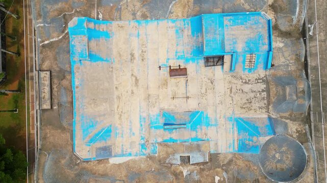
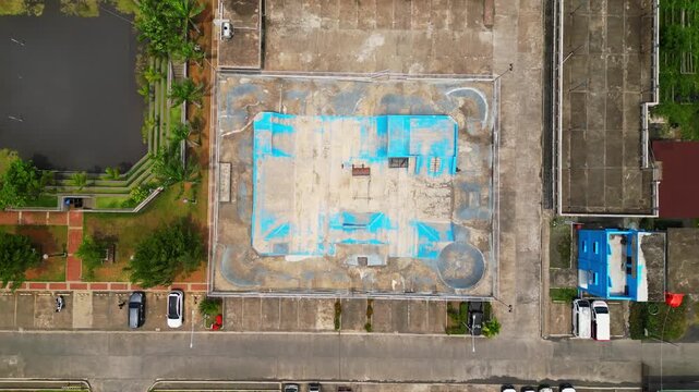
Drone footage of Legazpi City Skate Park in Albay, Philippines, showing a dedicated outdoor space for skateboarding and urban action sports. The facility adds to the public recreation infrastructure o
00:16
HD
Aerial view of golden rice fields in Salvacion, Tigaon, Camarines Sur, with warm reflections shimmering across water-filled paddies.
00:15
HD
Aerial perspective of Ragay town in Camarines Sur, Philippines, with Andaya Park and the central municipal area leading toward Ragay Bridge, capturing the town's roads, buildings and surrounding tropi
00:18
HD
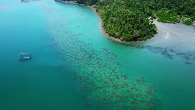
Aerial pullback over a rural coastal village, shallow reefs, lush hills, and clear waters - Magnesia Del Norte, Catanduanes, Philippines
00:14
HD
Sunny top-down aerial view of Sula Bridge and Angel's Corner along Misibis Road on Cagraray Island, revealing a vivid blue lagoon and tropical coastal waters.
00:06
HD
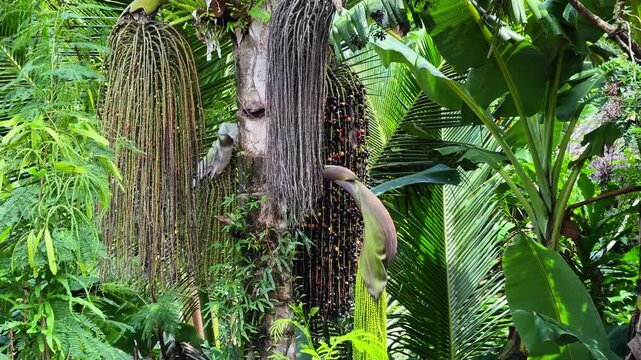
Close-up footage of clusters of wild berries hanging from a tree in Cagraray Island, Bacacay, Albay, Philippines. Natural tropical vegetation and fruit growing in a rural island environment.
00:07
HD
Aerial view of Legazpi City Skate Park along Legazpi Boulevard in Legazpi City, Albay, Philippines. The public skateboarding facility forms part of the city's outdoor recreational spaces near the coas
00:17
HD
Overhead drone view of the Sula Bridge area on Cagraray Island, revealing Angel's Corner, Misibis Road and a vivid blue tropical lagoon under sunny skies.
00:24
HD
Aerial pullback revealing dense tropical forest canopy, layered hills, and a natural clearing - Catanduanes, Bicol, Philippines
00:15
HD
Small provincial lakefront town in camarines sur bicol philippines
00:10
HD
aerial landscape of Sula Angling Spot with a wrecked tanker standing out against vivid blue tropical waters and the lush coastline of Cagraray Island.
00:13
HD
Drone footage ascending from the coastal waters of Sula Angling Spot to reveal a wrecked tanker and the expansive blue seascape surrounding Cagraray Island, Albay.
00:27
HD
Cinematic drone flight approaching Palanca Warehouse in the San Roque area of Tabaco City, with surrounding buildings, roads and urban landscape visible from above.
00:20
HD
Drone view over the rural landscape around La Salvacion National High School, with expansive rice fields extending across Salvacion, Tigaon.
00:34
HD
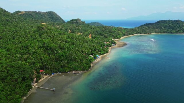
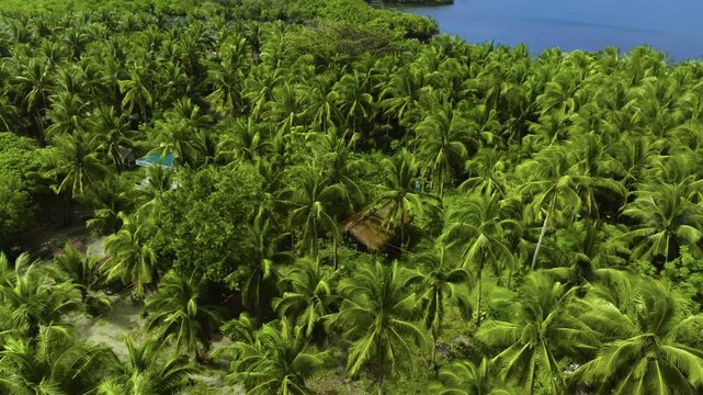
Aerial view over a lush coconut palm grove with a small nipa hut flying toward white sand, outrigger boats and a calm blue bay at Subic Beach on Calintaan Island, Matnog, Sorsogon, Philippines
00:21
HD
High aerial landscape from the Cagraray View Deck showing deep-blue tropical waters between Cagraray, Liguan and Cawayan Islands under clear sunny skies.
00:27
HD
Sunny aerial landscape of Sula Bridge and Angel's Corner along Misibis Road, capturing the contrast between the road, tropical vegetation and bright blue lagoon waters of Cagraray Island, Bacacay.
00:11
HD
Aerial footage of St. Padre Pio Chapel at Embarcadero de Legazpi in the Legazpi Port District, Legazpi City, Albay, Philippines. The Catholic chapel is situated within the waterfront commercial comple
00:12
HD
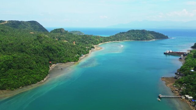
Aerial view gliding over a dense coconut palm forest toward a calm blue bay with small green islets and mountains on Calintaan Island near Subic Beach, Matnog, Sorsogon, Philippines
00:21
HD
Aerial view of the Libmanan River and surrounding farmland near Sipocot, Camarines Sur, captured at dawn with the bridge toward Yunice Farm and rural agricultural fields visible across the landscape.
00:33
HD
Aerial drone view of the rolling green hills of Quitinday in Camalig, Albay, Philippines, showcasing the distinctive rounded hill formations and lush tropical landscape of the Bicol Region.
00:27
HD
Movement of the clouds on Buhi Lake, Camarines Sur, Philippines
00:26
HD
Crane shot of Nagsipit Falls in Bicol, Philippines
00:12
HD
Panoramic aerial pullback revealing dense tropical jungle canopy across a forested island hillside - Catanduanes, Bicol, Philippines
00:15
HD
Panoramic aerial pullback revealing tropical mountains with dense narra, coconut palm, and abaca forest canopy - Catanduanes, Bicol, Philippines
00:15
HD