Se ha enviado un vínculo para establecer tu contraseña a: Para acceder a tus compras en el futuro, necesitarás una contraseña.
Consigue 3 vídeos o 25 imágenes con una versión de prueba gratuita
Se han añadido nuevos filtros
Ordenar por

6.877 resultados para uk map en vídeos

Realistic Earth Orbit and Zoom Glowing Borders United Kingdom
00:14
Alta definición
United Kingdom Map Showing Up Intro With Regions/ 4k animated UK map intro background with administrative regions appearing and fading one by one and camera movement
00:10
Alta definición
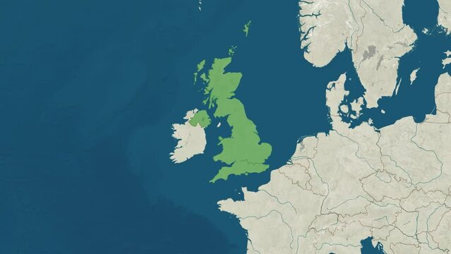
3D map of the United Kingdom highlighted with the UK flag on a greyscale world map
00:14
Alta definición
3d rendering o fan United Kingdom map in White color on black background. 4K Animation
00:16
Alta definición
Night to day - rotating Earth. Zoom in on United Kingdom outlined
00:10
Alta definición
Professionally animated 3D route map of the HS2 fast train service in the United Kingdom. The animation shows the construction of the route from London Euston to the North of England and Scotland.
00:09
Alta definición
United Kingdom map animation, UK country highlight, location pin United Kingdom, Europe map motion, geographic UK highlight, London location marker, country border animation, travel map background
00:10
Alta definición
Earth zoom in from outer space to city. Zooming on London, England. The animation continues by zoom out through clouds and atmosphere into space. View of the Earth at night. Images from NASA. 4K
00:21
Alta definición
United Kingdom map with Administrative Units, Airports and Roads. Blue. This video is entirely loopable and also has 2 loopable sequences from frame 80 to 460 and from  frame 461 to 804.
00:29
Alta definición
Ireland on the world map. Smooth map rotation. 4K animation.
00:11
Alta definición
United Kingdom - Blue tone animated country map
00:05
Alta definición
United Kingdom map with with animation camera, glowing round connections in different places and other visual effects.
00:20
Alta definición
Europe and Africa Digital Map
00:14
Alta definición
cinematic glide over road map showing highway network toward glasgow, uk
00:09
Alta definición
Vintage map showing UK, United Kingdom, Great Britain, England, Scotland, Wales, Northern Ireland. From above zooming in.
00:20
Alta definición
United Kingdom on Globe. Zoom into the country with Earth spinning on dark background. Physical world map with United Kingdom and label on it. Country view animation.
00:12
Alta definición
great britain united kingdom map background video
00:20
Alta definición
Breat Britain map animation. Animation of Connecting all areas into a complete map of United kingdom with borders in the background with an alpha channel. Motion design.
00:16
Alta definición
Three-dimensional map of England. 3d
00:11
Alta definición
Animated Map of England
00:14
Alta definición
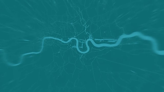
London, United Kingdom city map zoom out
00:12
Alta definición
UNITED KINGDOM LONDON ZOOM IN FROM SPACE
00:11
Alta definición
Graphic animation - red people symbols in shape of map of United Kingdom , COVID-19 pandemic in United Kingdom , infection spread around United Kingdom country map
00:12
Alta definición
Great Britain, UK and Ireland, View From Space
00:10
Alta definición
United Kingdom, glide over the satellite map, outlined
00:10
Alta definición
Abstract  geometric futuristic concept 3d Map of United Kingdom with borders as scribble,  blue neon style.
00:10
Alta definición
Zoom to Europe. The European states from space. Clip contains earth, europe, zoom, space, map, globe, satellite, planet, european, european union. Images from NASA.
00:10
Alta definición
Map of United Kingdom, United Kingdom map white outline, Animated close up map of Uk
00:08
Alta definición
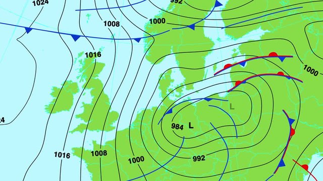
Animated weather forecast map of central and north Europe (Great Britain, Germany, France, Scandinavia etc) with isobars, cold and warm fronts, high and low pressure systems. In 4K and HD.
00:27
Alta definición
Zoom from Earth to United Kingdom. (No Border) World map animation with highlighted borders of UK. Images from NASA
00:11
Alta definición
United Kingdom - London - Zooming from space to earth
00:08
Alta definición
United Kingdom on the world map. Smooth map rotation. 4K animation.
00:11
Alta definición
uk map network glow, digital connections across great britain
00:08
Alta definición
4K macro footage of Ireland on a world map with shallow depth of field. Focus on word Ireland and nearby regions. Travel geography footage
00:12
Alta definición
UK, United Kingdom, Britain, digital map animation stock footage. Showing innovation in tech, technology AI sector.
00:08
Alta definición
United Kingdom digital map. Map of United Kingdom in dotted style. Shape of the country filled with rectangles. Radiant video.
00:06
Alta definición
Camera panning close up on a map focusing on motorways heading into London
00:12
Alta definición
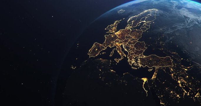
Europe at night from space, Italy, Spain, Portugal, United Kingdom. Slow zoom into a slow rotating planet Earth.
00:16
Alta definición
Wind Movement Map in Europe, Loop Video
00:33
Alta definición
United Kingdom and Ireland on a vintage political world map. Slow motion, tracking arc shot.
00:21
Alta definición
United Kingdom country population map made up of people figure icons
00:11
Alta definición
Flashing highlighted United Kingdom Map with glowing areas and interstate light connections. Scanning of Great Britain through hi-tech futuristic sight and visuals with connecting light points and lin
00:20
Alta definición
Abstract map of United Kingdom. High quality 4k footage
00:27
Alta definición
Earth zoom in from outer space to city. Zooming on United Kingdom, Manchester. The animation continues by zoom out through clouds and atmosphere into space. Images from NASA. 4K
00:25
Alta definición
Futuristic map of Great Britain. Networked tech map with glowing neon lines, dots. Abstract concept of British island interconnected in digital network video
00:10
Alta definición
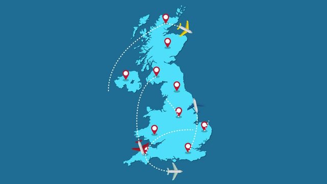
Planes routes flying over United Kingdom map, tourism and travel concept, Graphic animation
00:12
Alta definición
Europe, the European states from space. Clip contains earth, europe, rotation, space, map, globe, satellite, planet, european, european union. Images from NASA.
00:15
Alta definición
Earth in Space. Blue Lines connect London, UK with Cities across the World. Worldwide Travel or Business Concept.
00:06
Alta definición
Animated weather forecast map of central and south Europe (Great Britain, Germany, France, Italy, Spain etc) with isobars, cold and warm fronts, high and low pressure systems. In 4K and HD.
00:27
Alta definición
Zoom from Earth to United Kingdom, UK. World map animation with country borders, Images from NASA
00:11
Alta definición
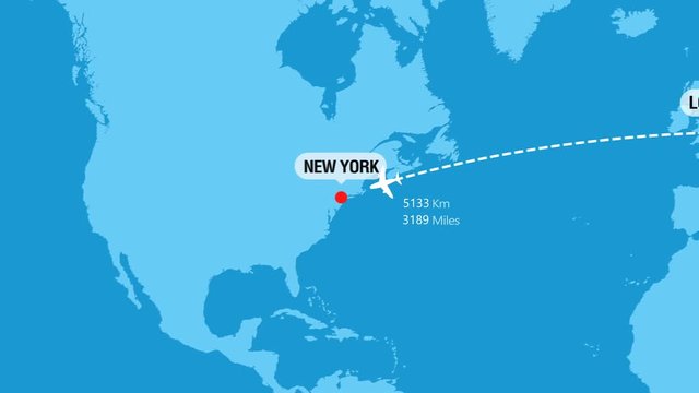
London to New York Flight Travel Route
00:08
Alta definición
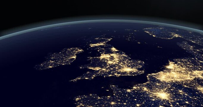
United Kingdom at night in earth planet
00:14
Alta definición
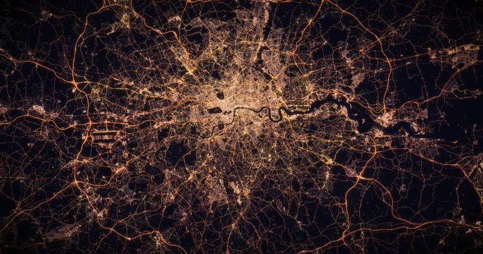
Aerial night view of city of London, UK. Traffic and street light glowing. Camera flying high above, moving closer and rotating from space filming cinematic straight down. 3d animation rendering.
00:29
Alta definición
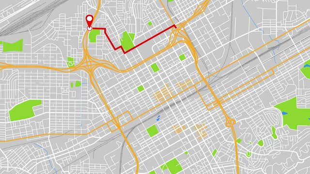
This is a modern map city of Birmingham. If you need to travel from dot A to dot B then use this animation.
00:12
Alta definición
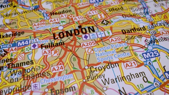
Zoom out of Uk, England through clouds to see the Earth from space. Also showing global growth network.
00:21
Alta definición
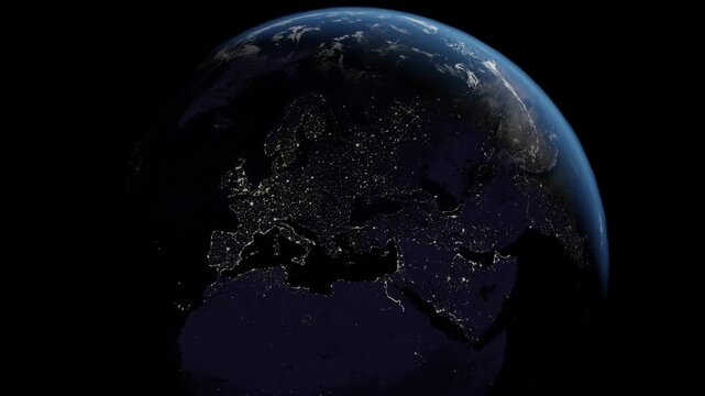
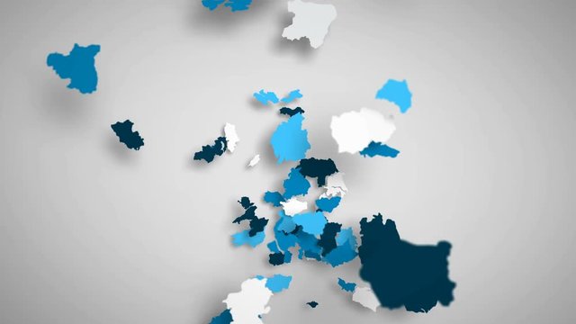
Blue digital map of Europe network map. Information wireless data technology. Generative video AI technology.
00:10
Alta definición
Stylized vintage political map of EU European Union and Europe. 3d animation
00:20
Alta definición
England map from particles, dots. Digital silhouette United Kingdom. Abstract animation background.
00:10
Alta definición
Digital Map Scan
00:28
Alta definición
Wind Movement On The Map Of UK, Loop Video
00:31
Alta definición
United Kingdom country population map made up of people figure icons
00:11
Alta definición
This animated blue Greit Britain map with connections between important centers of cities or other indicators. Perfect For: hi-tech promotion, dynamic slideshows,, trailers, sci-fi openers and etc.
00:20
Alta definición
Vintage style map animation focused on Europe with smooth zoom toward Eastern Europe and the Baltic region. Warm sepia tones and antique atlas design create a classic historical aesthetic
00:20
Alta definición
Animated map of European Union countries combining to form EU flag after Brexit
00:10
Alta definición
United Kingdom London England Wales Scotland Ireland Global Map of Earth Nighttime
00:05
Alta definición
City map
00:07
Alta definición
Graphic animation - People symbols in shape of map of United Kingdom , overpopulation concept
00:12
Alta definición
Dark blue 3D map animated video highlighting the United Kingdom borders with a modern geographic look and detailed satellite-based visualization
00:15
Alta definición
European Flight Connections. Global Communications - Destinations all over the World. Global Communications through the Network of Connections over Europe.
00:30
Alta definición
Futuristic UK Network System Digital Communication Map
00:18
Alta definición
Zoom from Earth to United Kingdom. (Highlighted) World map animation with highlighted borders of UK. Images from NASA
00:11
Alta definición
United Kingdom - Birmingham - Zooming from space to earth
00:08
Alta definición
United Kingdom map zoom animation 4K, Europe, world geography, high detail
00:10
Alta definición
Self drawing animation of continuous line drawing - map of Britain and Ireland
00:10
Alta definición
UK map digital background loop 4k
00:20
Alta definición
Map showing UK, Britain, Europe, from space to see the region from above from space. Detailed map Showing area, HD and 4K. Animation.
00:13
Alta definición
Animated infographics map with country's flag and profile. United Kingdom
00:20
Alta definición
Global worldwide network connected over Europe. Concept of internet and global communication technology with glowing connection lines. View from space of a rotating planet. Data transfer exchange. 4k
00:24
Alta definición
England country blinking red highlighted in map of Europe
00:10
Alta definición
world map waving white flag
00:20
Alta definición
cinematic road map route from Belfast to Dublin crossing Ireland border
00:15
Alta definición
This is a modern map city of Groningen. If you need to travel from dot A to dot B then use this animation.
00:11
Alta definición
Map of the UK. Night view from space
00:30
Alta definición
Zooming on Glasgow, Scotland. Earth zoom in from outer space to city. The animation continues by zoom out through clouds and atmosphere into space. View of the Earth at night. Images from NASA. 4K
00:21
Alta definición
Animated map of European Union countries combining to form EU flag before Brexit
00:10
Alta definición
Planet Earth, seen from space, zooming in and centering on London, UK. 3D computer generated animation.
00:15
Alta definición
United Kingdom map made of people symbol on white background
00:08
Alta definición
London zoom in -  Greenish tone world map animation
00:06
Alta definición
Planet Earth from Space EU European Countries highlighted, state borders and counties animation, city lights, 3d illustration, elements of this image courtesy of NASA
00:30
Alta definición
Zoom in to the map of United Kingdom with text, textless, and with flag
00:30
Alta definición
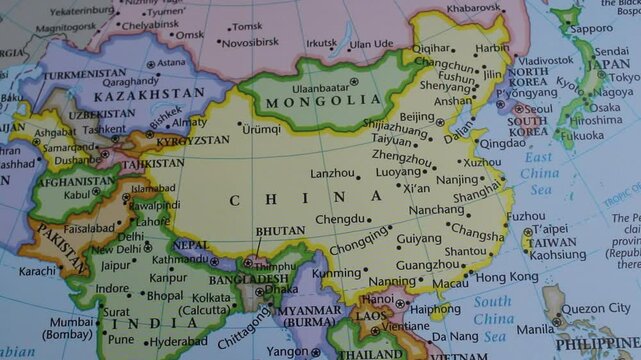
close up of the country of China viewed on a wold map as a travel concept. China on a map. Political map of China
00:29
Alta definición
New Delhi to London Flight Travel Route
00:08
Alta definición
British Isles from Space at Night. Night City Lights. Earth From Space Orbit. England, United Kingdoms, Wales, Ireland, Scotland. 4K, 29,97 fps.
00:15
Alta definición
Light blue map of United Kingdom with cities, roads and railways on a dark blue background. 4K Animation with alpha channel
00:24
Alta definición
United kingdom region map with flag animation
00:25
Alta definición
Map view of UK, Britain, England, Scotland, Wales, Ireland from above the clouds from space.
00:20
Alta definición
View of Europe from Space Satellite. Cities at Night. 3d Animation Modern Business and Technology Concept.
00:26
Alta definición
United Kingdom Counties Combine D
00:15
Alta definición
Real-Time Flight Traffic Over English Channel and Western Europe, Live map view of dense air traffic over southern UK, the English Channel, and northern France
00:17
Alta definición
London, United Kingdom city map zoom out
00:12
Alta definición