Se ha enviado un vínculo para establecer tu contraseña a: Para acceder a tus compras en el futuro, necesitarás una contraseña.
Consigue 3 vídeos o 25 imágenes con una versión de prueba gratuita
Se han añadido nuevos filtros
Ordenar por

700 resultados para uganda map en vídeos

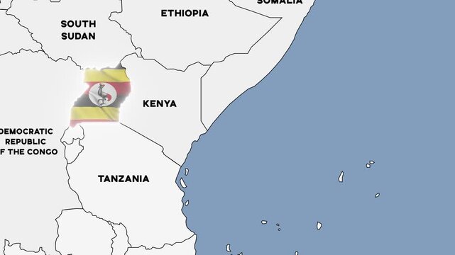
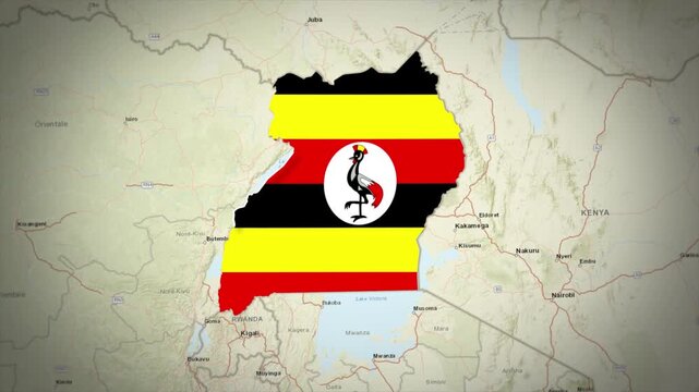
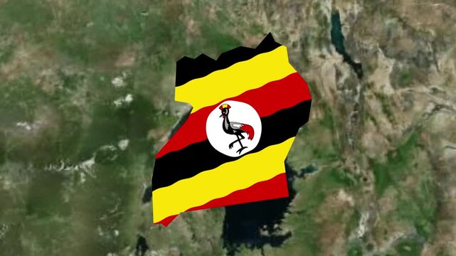
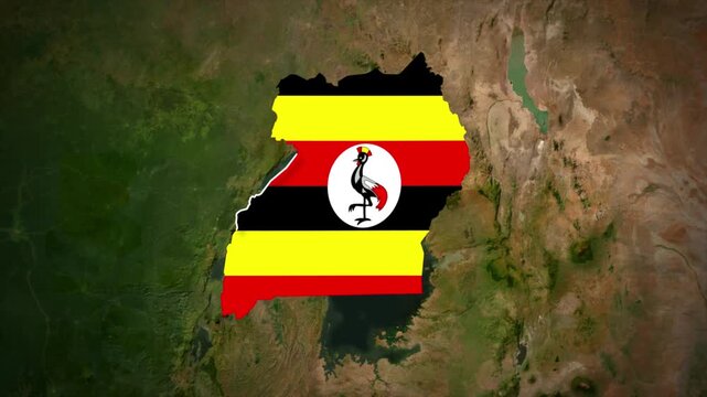
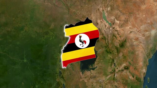
4K animation of a political map of Uganda highlighted with the colors of the Ugandan national flag
00:14
Alta definición
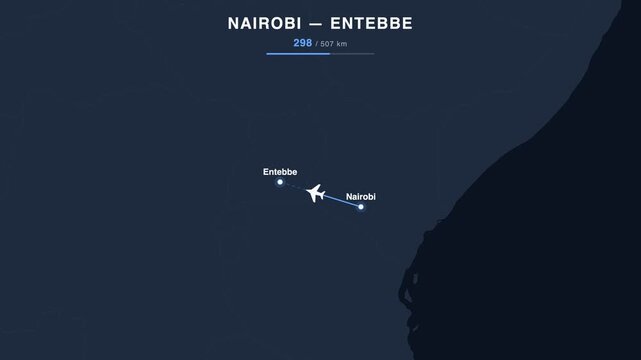
Flight route from Nairobi to Entebbe animated on a world map. Seamless looping 4K travel animation, 507 km.
00:18
Alta definición
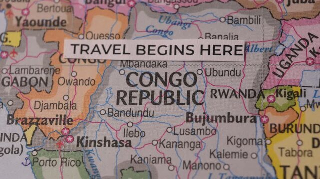
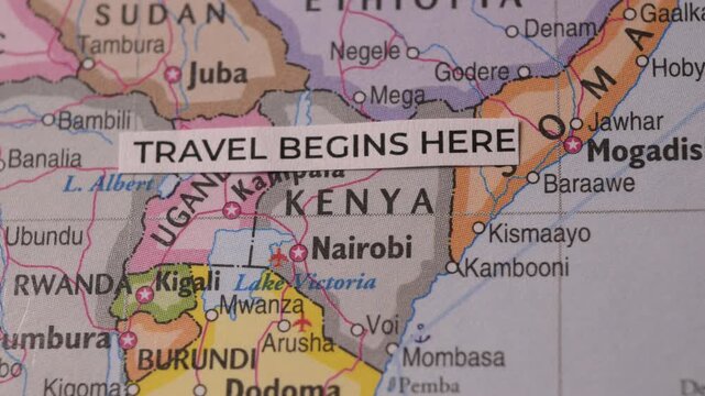
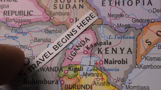
Map of Central Africa with Travel Begins Here Text Label
00:11
Alta definición
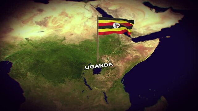
Motion graphic video of the uganda flag waving inside the country on a world map
00:10
Alta definición
Earth Zoom In to Uganda Animated Globe Map
00:26
Alta definición
Uganda country map with waving national flag digital motion footage
00:15
Alta definición
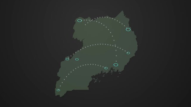
Uganda Map Showing Data Signal Transfer Lines Between Locations
00:17
Alta definición
Uganda highlighted on a 3D Earth globe. Floating terrain map against stars. Uganda in circular text. Elements of the animation furnished by NASA.
00:15
Alta definición
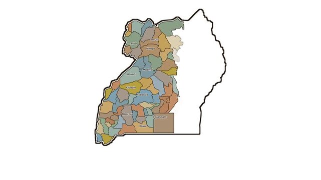
Outline map of uganda appears on white background with animated drawing motion.
00:16
Alta definición
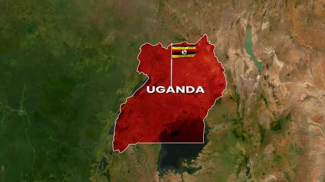
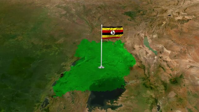
3D Dark Satellite Map Animation Highlighting Uganda with Flag Texture and Waving National Flag
00:25
Alta definición
Flight From Mogadishu SOMALIA to Kampala UGANDA with flag pins
00:10
Alta definición
Animated Location Pin Pointer Showing Uganda on Black Background | GPS Map Marker Motion Graphics
00:06
Alta definición
Uganda country map zoom animation with national flag overlay and satellite earth background, africa geography
00:18
Alta definición
Uganda map with national flag on minimal digital world map background, global political, geographic border for international news concept with white background
00:14
Alta definición
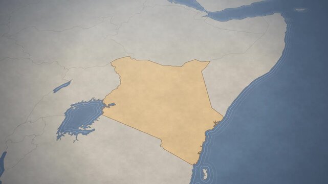
Vintage style map of Kenya highlighting geographic borders and the East African coastline.
00:12
Alta definición
Luminous uganda digital map revealing borders
00:11
Alta definición
Uganda Map Flag 4K Loop
00:09
Alta definición
Neon Location Pin Icon with Uganda Text on Black Background map marker navigation
00:09
Alta definición
Uganda Country Line Map Self Drawing Animated Overlay, Alpha 4K
00:05
Alta definición
uganda location marker animation on transparent on transparent background.uganda gps location with 4k video animation.
00:10
Alta definición
4K Resolution, Uganda Country Digital Electric Futuristic Technology Map, Suitable for Tech events, Science, Politics, Elections, News and Sports Events
00:10
Alta definición
Uganda political map zoom animation over Eastern Africa 4K
00:12
Alta definición
Travel Begins Here Text Paper Strip On Map Of East Africa Kenya
00:10
Alta definición
A motion graphic animation of the democratic republic of the congo with the ebola disease outbreak and a biohazard logos into a dark grey politic map
00:15
Alta definición
Satellite Zoom In to Lira Uganda from Space Orbit
00:20
Alta definición
Uganda map and national flag waving motion video footage
00:15
Alta definición
Red location pin icon with white circle and text on  UGANDA white background map marker navigation. Location or map pin icon symbol set. Location pointer.
00:10
Alta definición
Binary animation of Uganda map forming from scattered digits on dark blue grid background
00:12
Alta definición
Uganda on Globe. Zoom into the country with Earth spinning on dark background. Physical world map with Uganda and label on it. Country view animation.
00:12
Alta definición
Uganda 4K Tech Map Beside Globe On White Background.
00:14
Alta definición
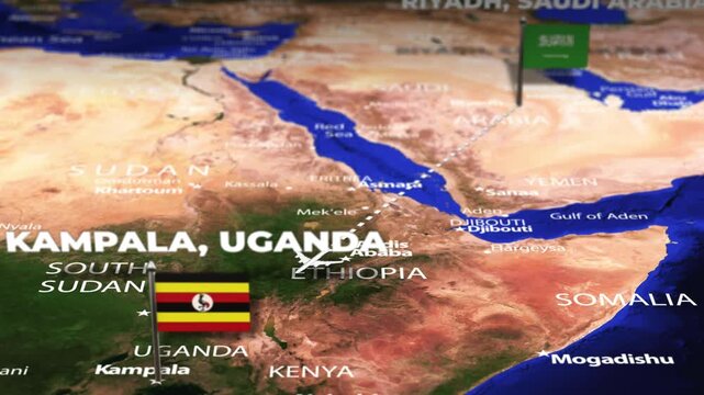
Flight From Riyadh SAUDI ARABIA to Kampala UGANDA with flag pins
00:10
Alta definición
Uganda map location pin animation with pulsing radar waves on white background, for travel navigation, geographic mapping, global, business logistics, and international
00:10
Alta definición
Uganda map with national flag texture, satellite view of East Africa, country borders and geography concept for travel and politics
00:18
Alta definición
Uganda map animation showcasing economy, infrastructure, technology, population, energy, trade, and national development data for presentations, films, documentaries, and motion graphics.
00:25
Alta definición
Uganda Map Highlight, Uganda Location Map, East Africa Country Geography Animation, Uganda Territory Map, Uganda Flag Map Graphic, East Africa Geography, Uganda Location Highlight
00:12
Alta definición
Cinematic 3D Earth Globe Orbital Zoom into Uganda Borders
00:10
Alta definición
lake victoria on detailed atlas map, gliding close up over
00:09
Alta definición
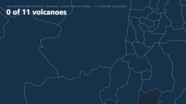
Western Rift: Tanzania, Uganda and DR Congo volcano map: Nyiragongo
00:46
Alta definición
Uganda map location pin animation on black background, for travel and, business mapping navigation
00:10
Alta definición
Uganda map with national flag on digital world map background, geographic border, global political and international news concept
00:14
Alta definición
Uganda Flag on its Country Map, 3D Map Flag Opener Suitable for Politics, Elections, Travel, News and Sports Events and Presentations
00:12
Alta definición
Detailed 3D Terrain and Elevation Map of Uganda
00:10
Alta definición
Digital Globe Search for Uganda Location
00:15
Alta definición
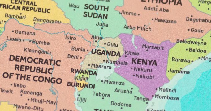
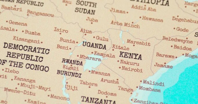
Zoom out view of uganda on a modern political world map
00:10
Alta definición
Satellite Zoom In from Orbit to Jinja Uganda
00:20
Alta definición
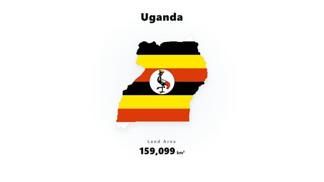
Uganda map silhouette filled with horizontal flag stripes and circular emblem graphic centered on white background with soft drop shadow
00:10
Alta definición
Uganda Provinces Form National Outline on World Map
00:08
Alta definición
Animated fingerprint pattern morphing into Uganda map with text reveal on dark blue background
00:08
Alta definición
Uganda wiggle animation map loop green background
00:15
Alta definición
Magnifying glass over heart shape with Uganda map inside, love for Uganda concept.
00:08
Alta definición
Flight From Seoul SOUTH KOREA Kampala UGANDA with flag pins
00:10
Alta definición
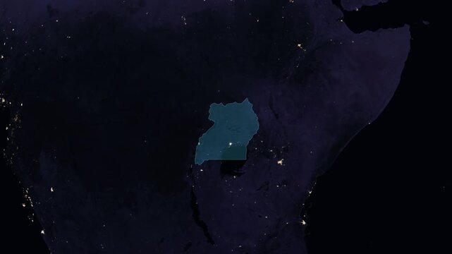
Uganda night globe. City lights, zoom, spin, outline glow, pullback, ring reveal for Uganda. Elements of the animation furnished by NASA.
00:11
Alta definición
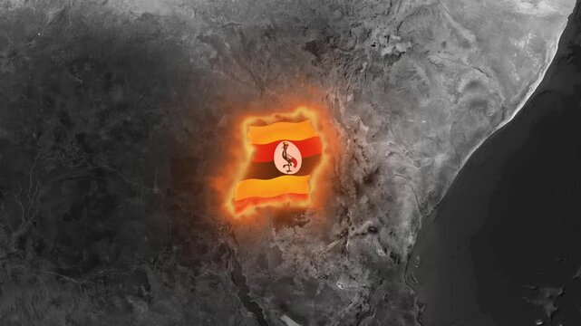
Uganda map with glowing national flag texture overlay on a dark monochrome satellite background representing geopolitical news and concepts
00:18
Alta definición
Digital glowing map of Uganda with administrative regional boundaries.
00:10
Alta definición
Uganda Map with Connected Highlighted Regions and Digital Signals
00:18
Alta definición
Uganda location pin animation on black background, travel and mapping concept marker
00:06
Alta definición
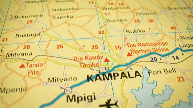
Smooth flyover toward Kampala, Uganda – close-up view of atlas map
00:11
Alta definición
Travel Begins Here Text Tag on Africa Map Tourism Travel Concept
00:11
Alta definición
Uganda country map digital animation visualization
00:20
Alta definición
Kampala Uganda city map zoom animation 4K
00:12
Alta definición
Generative Art Diagonal Lines Assemble Uganda Shape
00:20
Alta definición
Uganda technology map with animated charts, graphs, statistics, and analytics showcasing economy, infrastructure, innovation, population, trade, energy, and national development
00:19
Alta definición
Uganda map flag animation flying over realistic aerial landscape video footage
00:10
Alta definición
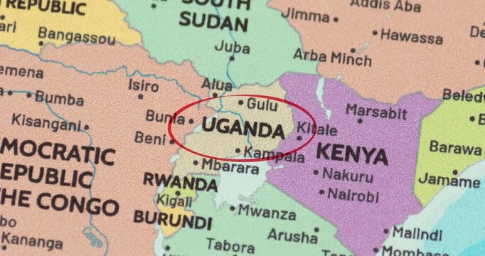
Detailed view of a red circle marking to uganda on a modern political world map
00:10
Alta definición
Satellite Zoom into Mbale Uganda from Outer Space
00:20
Alta definición
Satellite map animation of Uganda with moving clouds, growing ink-shape waving flag of the country, gradient outline indicating the border. Highlighted territory.
00:12
Alta definición
Uganda Country Map and National Flag Satellite Earth Zoom Animation
00:14
Alta definición
Red location pin icon with Uganda text on black background image photo 4k video...
00:10
Alta definición
Zoom in on a Country from a Stylised World Map Uganda
00:08
Alta definición
Digital World Map Displaying A Regional Air Connection From Tanzania Northwest To Uganda With Highlighted Route Tracking, National Flags, And Geographic Markers
00:10
Alta definición
Flight From Ankara TURKEY to Kampala UGANDA with flag pins
00:10
Alta definición
Malawi on Globe. Zoom into the country with Earth spinning on dark background. Physical world map with Malawi and label on it. Country view animation.
00:12
Alta definición
Uganda map with glowing national flag animation on dark textured background, africa country
00:18
Alta definición
Uganda map flag highlight animation, red yellow black Ugandan flag overlay on aerial satellite terrain background, East Africa country geography 4K
00:12
Alta definición
Uganda Country Map Chipset Technology Opener, Suitable for Tech Events, Science Programs, News and Artificial Intelligence Presentations
00:10
Alta definición
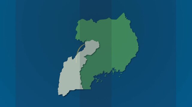
Map of uganda with highlighted western districts, motion graphics of map, map of country
00:10
Alta definición
Detailed close-up map view of Lake Victoria and surrounding East Africa region
00:11
Alta definición
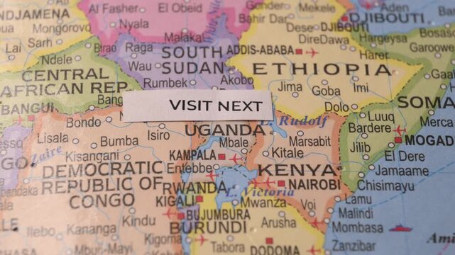
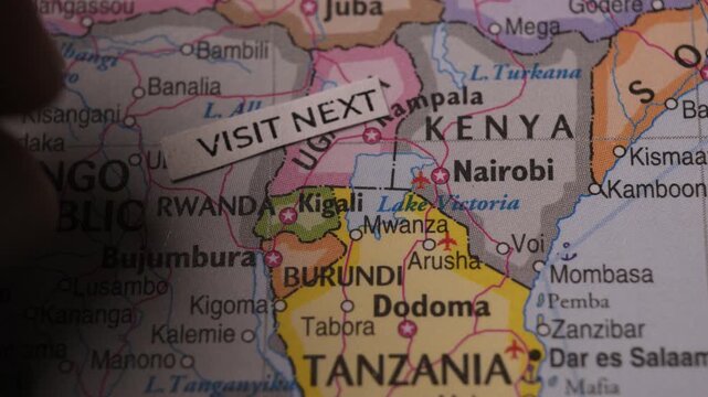
Paper Note with Visit Next Text on East Africa Map Concept
00:11
Alta definición
Earth Zoom Animation to Kasese Uganda in Sub-Saharan Africa
00:20
Alta definición
Uganda Map Signal Transmission Animation for Communication and Connectivity
00:15
Alta definición
Animated Appearing UGANDA Map Filled with Flag Isolated on Vintage Background
00:10
Alta definición
3D Satellite Map Animation Highlighting Uganda with Flag Texture and Waving National Flag
00:25
Alta definición
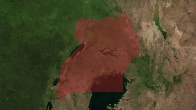
Map animation zoom to Uganda, country highlighted in red
00:10
Alta definición
Zoom in view of uganda on a vintage political world map
00:10
Alta definición
Earth Zoom In to Kampala Uganda Satellite Map Animation
00:20
Alta definición
East Africa Travel Route on Dark Map, Addis Ababa Nairobi Zanzibar Madagascar Animated Motion Graphics Seamless Loop, 4K
00:10
Alta definición
Magnifying glass over person thinking about Uganda map illustration.
00:08
Alta definición
Closing in on Uganda on political 3D globe with topography. 3D illustration.
00:20
Alta definición
nigeria map. Group of people walk and create a map of nigeria.
00:17
Alta definición
Realistic 3d animated earth showing the borders of the country Uganda and the capital Kampala in 4K resolution at nighttime
00:30
Alta definición
Flight From Asmara ERITREA to Kampala UGANDA with flag pins
00:10
Alta definición
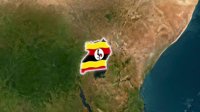
Uganda national flag on map outline, waving animation. 4K alpha channel graphic footage of country shape
00:24
Alta definición
ウガンダの位置がアップになって赤く表示されます。ヨーロッパ中心地図
00:05
Alta definición
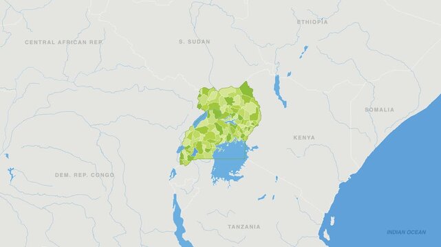
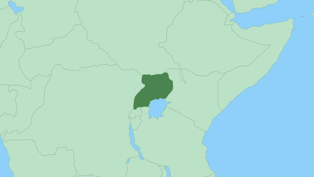
Map of Uganda with pin of country capital. Uganda Map with neighboring countries in green color.
00:10
Alta definición
The Flag of Uganda on the World Map, Uganda map with flag 3d animation
00:38
Alta definición
Uganda map with flag overlay on grayscale satellite terrain with travel airplane route concept 4k animation
00:10
Alta definición
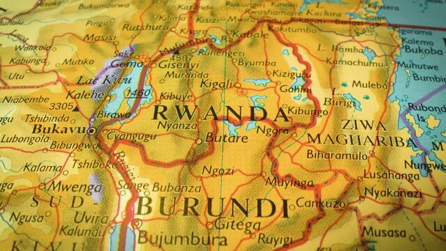
Gliding view to Rwanda, Africa – sliding camera movement over a printed map
00:10
Alta definición
Visit Next paper tag on East Africa map travel destination concept close up
00:12
Alta definición
Zoom from Earth to Uganda. (Highlighted) World map animation with highlighted borders of countries. Images from NASA
00:11
Alta definición
Uganda Emerging from World Map Animation East Africa Geography Reveal Concept Motion Background
00:12
Alta definición