Se ha enviado un vínculo para establecer tu contraseña a: Para acceder a tus compras en el futuro, necesitarás una contraseña.

Consigue 3 vídeos o 25 imágenes con una versión de prueba gratuita
Se han añadido nuevos filtros
Ordenar por

7,023 resultados para gises en vídeos

California agriculture on open data satellite video
00:19
Alta definición
Autonomous Vehicle LiDAR Sensor 3D Point Cloud City Street Scanning and Object Detection Loop Animation 4K
00:15
Alta definición
GIS Analysts Using Computer
00:17
Alta definición
China and India map animation with national flags overlay glowing borders and Chinese provinces
00:20
Alta definición
City Traffic Flow Animation with Urban Roads and Transportation Network
00:15
Alta definición
Stratified 3D topographic lattice and telemetry mapping background
00:12
Alta definición
The screen displays a contour cartography interface showing survey data, gain values, and various parameters with interactive controls. It highlights graphical representation of terrain data

00:30
Alta definición
A sophisticated user interface featuring an AI Generated Caption displays complex geospatial data analytics and urban foot traffic monitoring across a dark digital dashboard environment
00:06
Alta definición
Global network connecting continents with data flow and information exchange
00:15
Alta definición
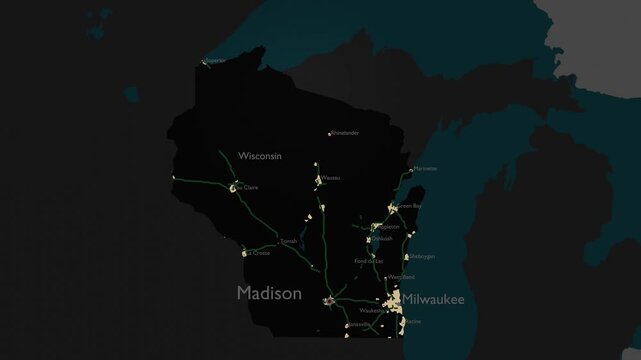
Wisconsin, USA 3D Digital Map Animation - Reveal of Roads, Cities & Boundaries, 4K Orbiting View & Zoom Out Reveal
00:18
Alta definición
Futuristic digital globe Earth rotating on a blue HUD background, technology and global communication concept video loop.
00:20
Alta definición
Abstract 3d digital map topographic elevation geographic data and terrain geography network overlay
00:06
Alta definición
Dammam, Saudi Arabia 3D Satellite Map – Aerial Animation with Realistic Clouds
00:20
Alta definición
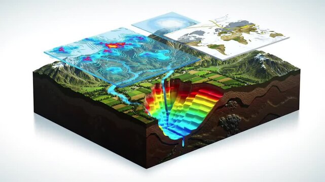
Geographic Information System Visualization Layered Data Representation and Analysis
00:08
Alta definición
Devices interconnected by nodes on a flat map. 3D animation.
00:26
Alta definición
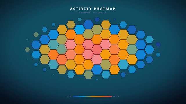
Animated hexagon heatmap showing tiles pulsing in traveling waves with glowing accents. Geographic data pattern for analytics videos. 4K animated background.
00:15
Alta definición
Data Heatmap Pixel Matrix Background for Big Data Analytics Visualization
00:14
Alta definición
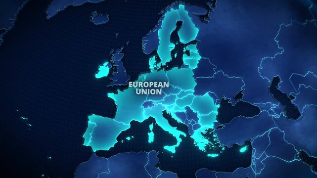
3D Map of the European Union with Glowing Cyan Member States on Dark Blue Background, Modern Geopolitical Infographic for Corporate Presentations and Broadcast News Graphics.
00:12
Alta definición
Vibrant cyber map of Latin America, holographic effects showing technology infrastructure, glowing connectivity lines between urban centers
00:10
Alta definición
Earth Orbit Zooming In to Oran Algeria Location Pin
00:20
Alta definición
Drone surveying and terrain mapping, UAV scanning mountain forest with holographic digital sensor effect, low-altitude economy concept
00:30
Alta definición
Futuristic 3d hologram world map global network connections and topographic data visualization
00:15
Alta definición
Municipal Manager Reviews Online Permit Application Using Laptop
00:25
Alta definición
Nepal administrative zones map animation with India, Tibet, and Bhutan regional reveal
00:25
Alta definición
Satellite Zoom Animation From World Map To Nagpur Maharashtra India
00:10
Alta definición
Japan map animation showcasing economy, infrastructure, technology, population, energy, trade, and national development data for presentations, films, documentaries, and motion graphics.
00:25
Alta definición
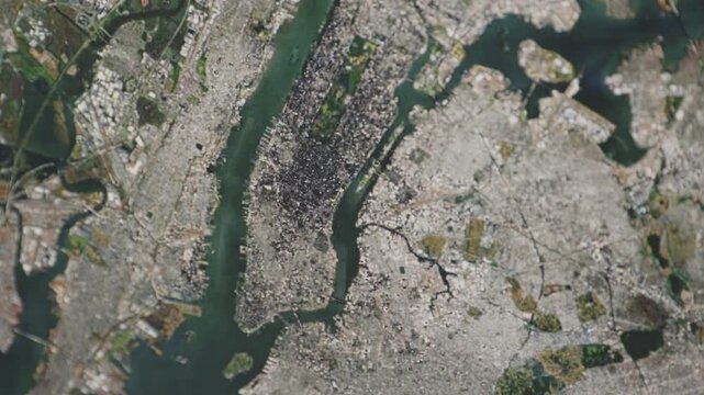
Aerial View of New York City, New York USA — Camera Scanning a Photorealistic Detailed Map of NYC, Showing City Streets, Neighborhoods, Landmarks and Geographic Features From Above
00:12
Alta definición
Animated white pin marker pointer typing delaware on black background, for location mapping, travel directions and, geographic presentation motion
00:10
Alta definición
World Map Global Blue Loop. This Animated World Map With Visual Effects And Glowing Connections In Different Places On The Map. Digital Technology World Map Animation. Glowing Connection
00:19
Alta definición
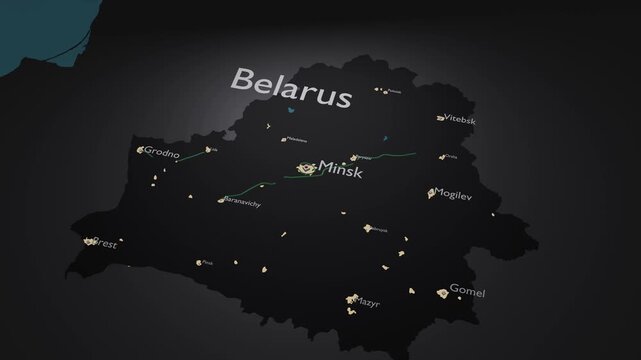
Belarus 3D Digital Map Animation - Reveal of Roads, Cities & Boundaries, 4K Zoom Out Reveal
00:18
Alta definición
Location pin on digital city map with glowing roads, GPS navigation, geolocation technology, smart urban mapping, route planning, delivery tracking and travel destination
00:10
Alta definición
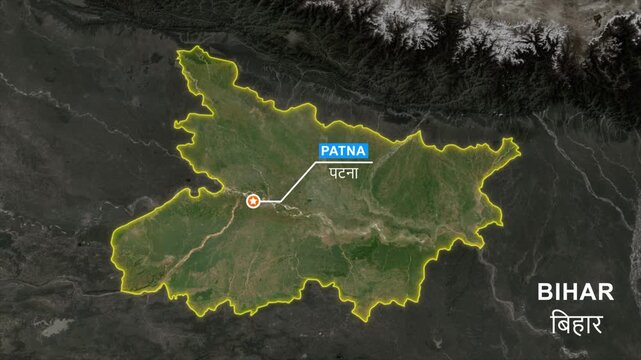
Bihar India State Map Animation with Patna Capital Location Marker, Satellite View, Glowing Border Outline, Geographic Political Map, GIS Navigation, Motion Graphics 4K
00:10
Alta definición
黒背景に激しいかすれ感のある白いグランジフレームが動くループ飾り枠素材 | White heavy grunge rough frame loop background
00:10
Alta definición
Animated Dark Green Topographic Map with Glowing Contour Lines
00:20
Alta definición
Rotating Holographic Earth Globe with Data Arcs and Digital Dot Matrix Continents
00:15
Alta definición
Strait of Hormuz Maritime Navigation Visualization, Geospatial Data Mapping, Ocean Current Flow Animation, Seamless Loop, Topographic Contours, Maritime Traffic Monitoring, Geographic Information
00:12
Alta definición
白い背景に細い青いデジタル線で継続的に生成される地形メッシュの3Dモデリング
00:05
Alta definición
緑の黒板に白いチョークの線が上下に開く背景
00:10
Alta definición
Oscillating green grid landscape with emerging wireframe cube signal
00:12
Alta definición
Satellite Zoom from Earth Orbit to Bouira Algeria
00:20
Alta definición
Drone topographic surveying, holographic terrain scanning and remote sensing mapping 3D animation
00:40
Alta definición
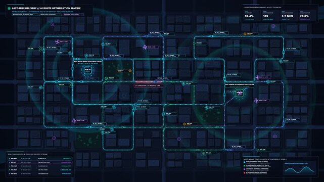
Last Mile Delivery Urban Map Route Optimization And Autonomous Fleet Dispatch Loop Animation
00:15
Alta definición
Young Woman Studies Crime Patterns On Laptop
00:17
Alta definición
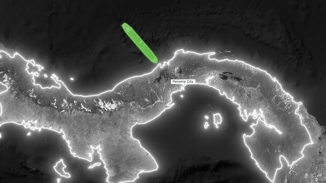
Animated Grayscale 3D Satellite Map of Panama Canal Shipping Route with Glowing Red Path and Green Cargo Ships
00:20
Alta definición
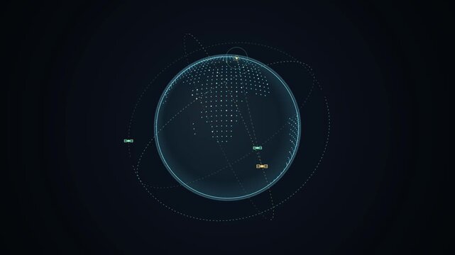
Digital wireframe Earth globe animation with glowing communication satellites orbiting over dotted world map grid against dark space background for global network concept video
00:10
Alta definición
Animated Globe Zooming into Sedona Arizona with Geographic Data Overlay
00:20
Alta definición
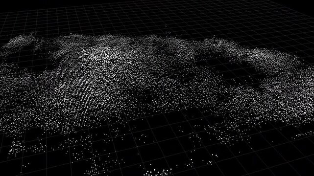
A high-tech point cloud terrain visualization featuring a digital grid. Ideal for scientific titles, high-tech background art, and cinematic data processing sequences.
00:20
Alta definición
Business Professional Analyzing Interactive Map Data on a Laptop. A business professional uses a laptop with an interactive map interface, illustrating data analysis, digital technology, business inte
00:13
Alta definición
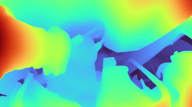
Depth map of a car engine bay showing color-coded distance data and structural geometry of internal components in a technical, abstract visualization.
00:17
Alta definición
Wisconsin, USA 3D Digital Map Animation - Reveal of Roads, Cities & Boundaries, 4K Zoom In Reveal
00:18
Alta definición
Lidar Point Cloud City Scan Rotating Sensor Sweep Seamless Loop
00:15
Alta definición
Virtual Tour panoramic walkthrough HUD interface animation with waypoint markers
00:15
Alta definición
Abstract Breathing Topographic Contour Lines Animated Technology Background
00:15
Alta definición
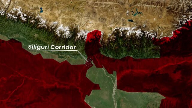
Siliguri Corridor Map Animation 4K | Strategic Land Corridor Between India and Northeast Region
00:15
Alta definición
Satellite Farming Data - technology minimalist background
00:13
Alta definición
Strait of Hormuz Nightwatch Navigation Visualization, Dark Sea Map Animation, Maritime Traffic Monitoring, Seamless Loop, Geospatial Data, Topographic Lines, Nighttime Shipping Route
00:12
Alta definición
Futuristic Radar Scanner Interface with geospatial data analysis for technology
00:20
Alta definición
Digital animation displaying global data and analytics over world map interface
00:10
Alta definición
Fly over a surveyed Geographic Information System digitally rendered elevation model with isolines
00:12
Alta definición
3D Animation Zooming From Outer Space Into New Zealand
00:30
Alta definición
A detailed topographic map with contour lines indicates elevation changes in rugged terrain. Various colors highlight different altitudes, and labels identify geographical features.
00:19
Alta definición
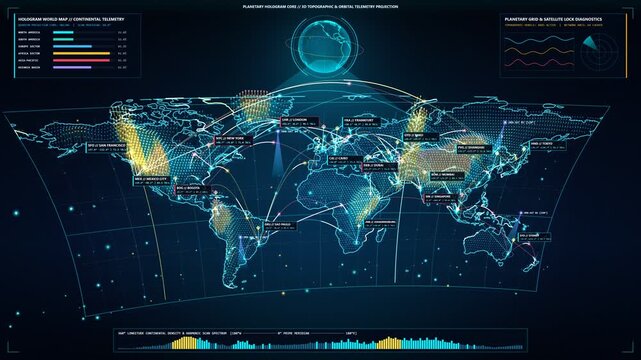
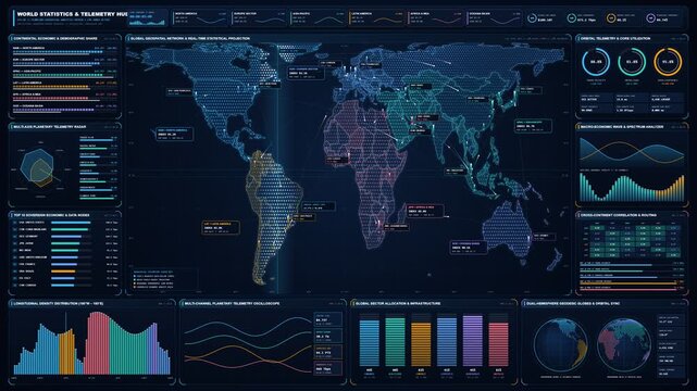
Futuristic 4K Global World Map with Real Time Statistics HUD Telemetry and Network Data
00:15
Alta definición
Land Use Planning: GIS Technology
00:26
Alta definición
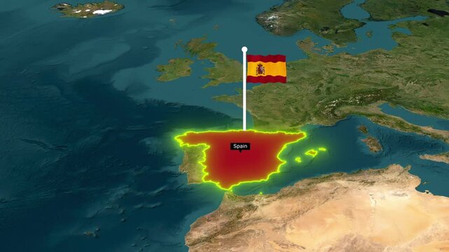
Animated 3D Satellite Map Zoom of Spain with Waving National Flag Pin and Glowing Yellow Territory Borders
00:12
Alta definición
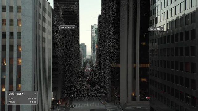
Elevated aerial push in over Los Angeles at dusk: deep street canyon between office high rises, LiDAR scan point cloud overlay with scan front and distance labels. Concept visualization
00:18
Alta definición
3D Earth Animation Zooming into Calais France with Geographic Data Overlay
00:20
Alta definición
Child Drawing A Smiling Face With Sidewalk Chalk in natural daylight
00:08
Alta definición
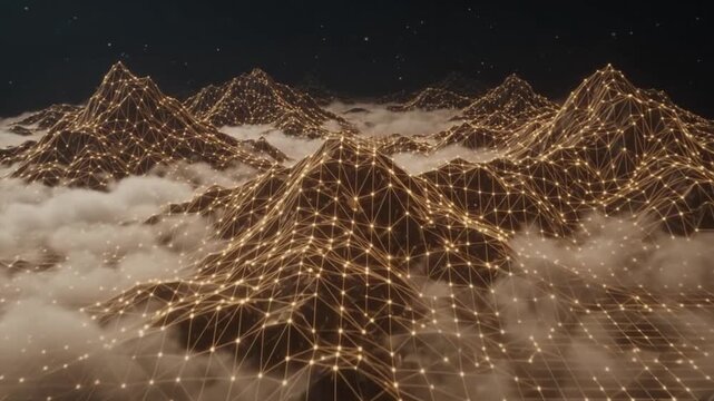
Aerial drone flight over golden digital wireframe mountain terrain with glowing grid lines and clouds in futuristic landscape animation
00:10
Alta definición
Animated digital map featuring interconnected location pins, symbolizing global network connectivity and geographic information technology. Animation concept of geolocation maps for business.
00:10
Alta definición
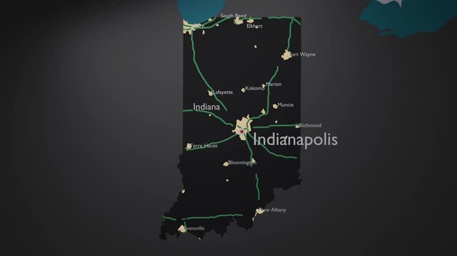
Indiana, USA 3D Digital Map Animation - Reveal of Roads, Cities & Boundaries, 4K Zoom In Reveal
00:17
Alta definición
A futuristic digital map with a glowing location pin, representing navigation and technology in an urban environment.
00:10
Alta definición
Glowing Global Business Map with Digital Grid Lines on a Dark Background
00:20
Alta definición
Geospatial data scientists analyzing geographical data for urban planning and resource management
00:10
Alta definición
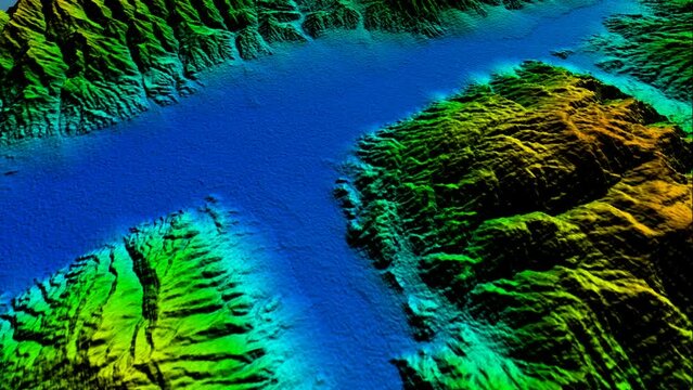
Fly-Through Experience: A Vibrant 3D Terrain Visualization - The Confluence of GIS, Cartography, Topological Modeling, Environmental Analysis, and Digital Altitude Modeling Techniques
00:20
Alta definición
Military soldier operating advanced technology in a command center.
00:28
Alta definición
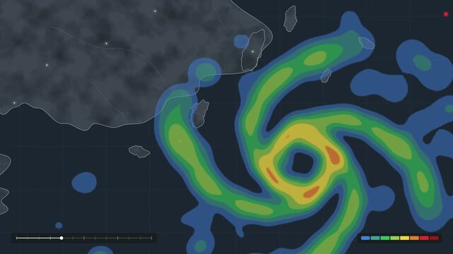
Tropical Cyclone Weather Radar Map Animation, Meteorological Visualization, Weather Forecasting Technology, Rainfall Intensity Mapping, Geographic Information Systems, Climate Monitoring, Data
00:15
Alta definición
A digital map with glowing routes and location markers.
00:05
Alta definición
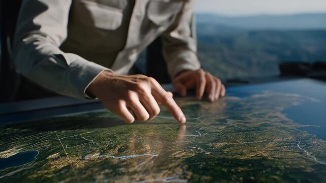
Close-up of analyst highlighting terrain features and environmental changes on digital satellite overlays, highlighting data-driven military research, AI-assisted geospatial analytics, and
00:10
Alta definición
Intricate vector UK map showcasing global connectivity through communication arcs, satellite coverage, and international fiber links.
00:10
Alta definición
Earth Zoom In to Shwedagon Pagoda in Yangon Myanmar
00:26
Alta definición
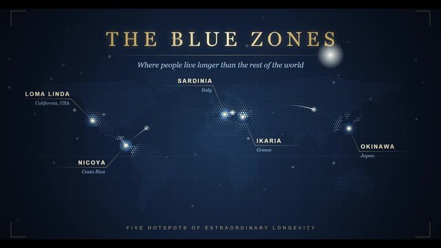
World map graphic displays the blue zones with geographic locations marked on a dark background.
00:05
Alta definición
pulsing location signals and geospatial telemetry 4k map data visualization animation
00:15
Alta definición
Construction Project Inspection Using GIS Software
00:35
Alta definición
Nepal map animation tracking Himalayan mountain peaks including Mount Everest and Annapurna
00:30
Alta definición
A detailed digital map illustrates city streets with glowing red markers, highlighting key locations and demonstrating advanced navigation technology in an urban setting.
00:10
Alta definición
Earth Zoom Animation Focusing on Guwahati India with Population Data
00:15
Alta definición
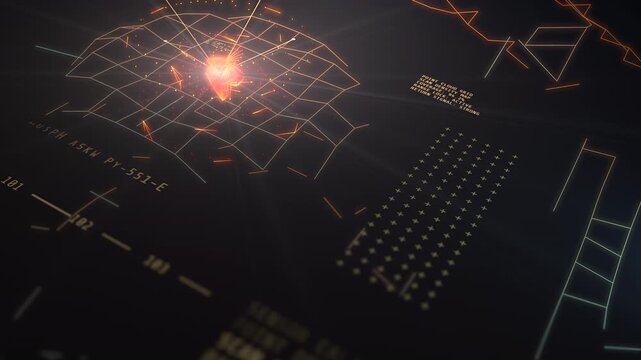
Angled HUD display showing a glowing orange point cloud lattice scanning terrain topography and sensor telemetry data for drone surveying
00:20
Alta definición
Topography Contour Map Animation Moving Across Screen for Cartography and Navigation Background
00:10
Alta definición
Aerial Drone Mapping Interface with Geospatial Grid
00:30
Alta definición
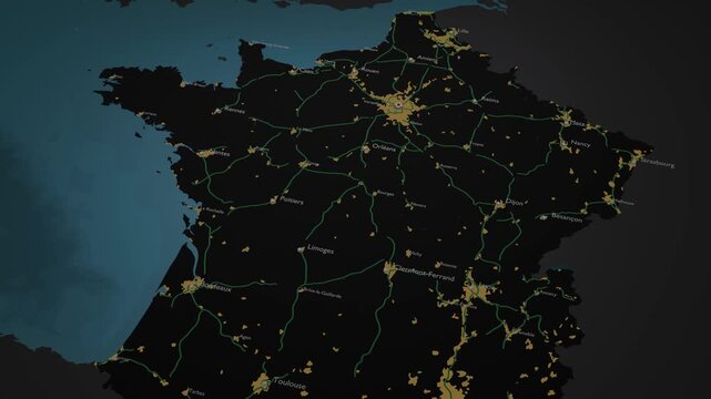
France 3D Digital Map Animation - Reveal of Roads, Cities & Boundaries, 4K Orbiting View & Zoom Out Reveal
00:18
Alta definición
3D earth map blue digital hologram display Generative AI
00:08
Alta definición
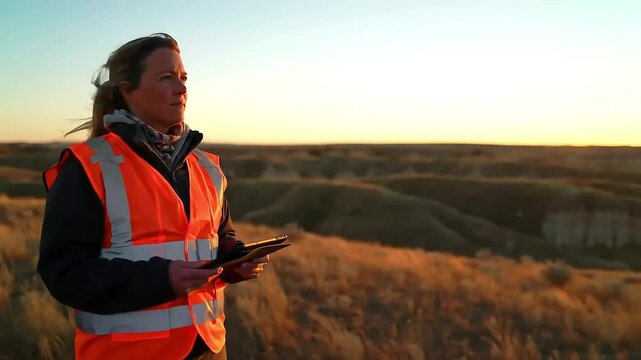
Female Surveyor with Tablet and Drone at Sunset Hilltop
00:08
Alta definición
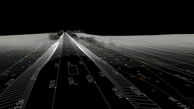
Information model of an infrastructure area in a dense point cloud obtained by laser scanning
00:20
Alta definición
Vibrant city map visualization highlighting data points and connections
00:07
Alta definición
Man interacting with large digital map, modern technological, in blue and grey with white information, urban data visualization or smart city concept
00:10
Alta definición
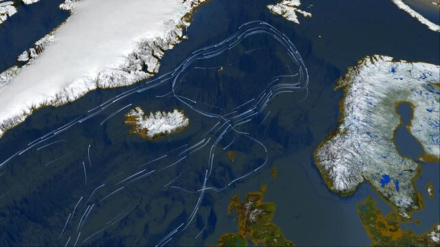
Greenland and Gulf Stream. System of warm currents in the North Atlantic
00:20
Alta definición
Futuristic Holographic HUD Global Telemetry Globe with Wireframe Rotation and Planetary Data Points 4K 60fps Motion Graphic Video
00:09
Alta definición
Dark Business Intelligence Dashboard with Animated Charts and Map
00:10
Alta definición
A digital 3D map terrain highlighting intricate topography, with elevation contours and spatial data layers visible for advanced geographic analysis
00:10
Alta definición
Satellite Zoom into Budaun India from Space Orbit
00:20
Alta definición