Se ha enviado un vínculo para establecer tu contraseña a: Para acceder a tus compras en el futuro, necesitarás una contraseña.
Consigue 3 vídeos o 25 imágenes con una versión de prueba gratuita
Se han añadido nuevos filtros
Ordenar por

205,830 resultados para 7 continents en vídeos

Zoom in from space and focus on Palm Coast, Florida, USA. 3D Animation. Background for travel intro. Elements of this image furnished by NASA

00:31
Alta definición
Animated video of a gray world map separated by connecting continents falling from above on a white background
00:20
Alta definición
turning earth background , loop-able 3d animation
01:00
Alta definición
North America Map. World map animation connecting all continents into a single world map with zoom in map of North America with country borders in the background with alpha channel.
00:08
Alta definición
3D animation of the map of africa continent
00:25
Alta definición
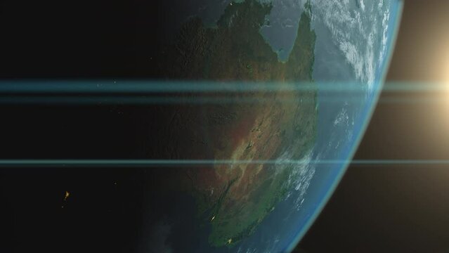
Australia or the Australian continent Planet Earth from space animation
00:15
Alta definición
The animated nation map outline glows with flag motion video clip
00:25
Alta definición
Earth and sun. The camera flies around the planet. The earth is approaching. A view from space.  Realistic atmosphere. Starry sky. All continents are visible. White clouds envelop the planet.
00:30
Alta definición
Bosnia & Herz Map Video, highlighted in the world map with national flag and borders, perfect for presentations, travel, education, geography, and global studies.
00:09
Alta definición
Stunning earth image showing continents and city lights at night. Planet earth with visible details of landmasses and ocean.  This detailed earth image is perfect for videos promoting space exploratio
00:10
Alta definición
Planet Earth view from space, countries borders highlighted, loop able repeatable animation perfect for time remapping, 3d illustration, elements of this image courtesy of NASA
00:40
Alta definición
Realistic Earth spinning around its axis, with stars in the background. Seamlessly loopable animation.
00:30
Alta definición
Africa map revealing with fiery gradient showing continental outline and text label video african continent world geography reveal gradient yellow glow orange
00:23
Alta definición
Africa continent in world map
00:15
Alta definición
Breathtaking View of the Planet. Rising Sun Illuminates Our Blue Planet's Clouds, Oceans and Peaceful Cities. Scientifically Accurate 3D Graphical Animation
00:10
Alta definición
Pixel 3D planet Earth with big data animation. Rotating globe, shining continents with floating numbers. Abstract cyber animation with depth of field and glow. 4K, loop, UHD ProRes
00:15
Alta definición
Aerial of bridge between continents in Iceland covered in white snow
00:19
Alta definición
Zoom out of Australia continent through clouds to see the Earth from space.
00:14
Alta definición
Global AI-powered digital network ecosystem connecting data, finance, analytics, ecommerce, communication, and automation across continents through technology and cloud Marrow
00:10
Alta definición
Africa continent shape with blurred people walking
00:09
Alta definición
continental drift 12
00:16
Alta definición
Global digital network connection connecting continents with glowing data lines and futuristic internet telecommunication concept
00:05
Alta definición
Australian outback in the center of the continent
00:27
Alta definición
World map animation. Animation of connecting all continents into a whole world map with borders in the background with an alpha channel. Motion design.
00:05
Alta definición
4K animation in space with the Earth rotating and a zoom in on the African continent map
00:18
Alta definición
Closeup of ancient map of Africa continents with compass
00:14
Alta definición
Digital network connections and supply chain analytics visualize global data flow and technology driven connections across continents with advanced
00:05
Alta definición
Cuba on a detailed political map of the Caribbean and Central America. Smooth camera movement focuses on the island, Havana, surrounding seas, nearby coastlines and regional geography.
00:24
Alta definición
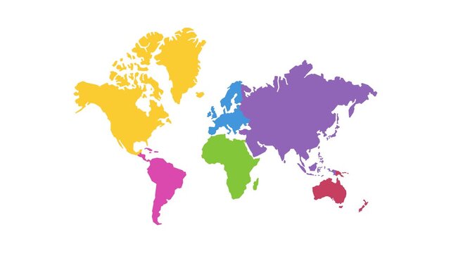
Vibrant multicolored world map highlighting continents with gradient tones.
00:05
Alta definición
A realistic 3D rendering of planet Earth with detailed continents and oceans on a green abstract background.
00:10
Alta definición
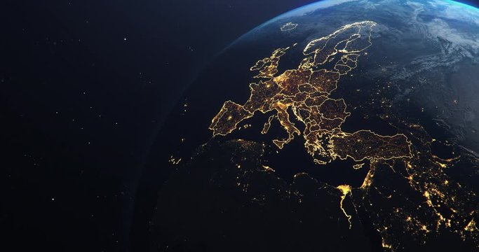
Planet Earth from Space EU European Countries highlighted, state borders and counties animation, city lights, 3d illustration, elements of this image courtesy of NASA
00:30
Alta definición
Earth zoom in from outer space until white clouds fill the screen. Elements of this image furnished by NASA.
00:10
Alta definición
India Map Glowing Neon Outline Progression Over Satellite View indian subcontinent country nation geography aerial illumination border coastline asia south region territory
00:23
Alta definición
Detailed world map in blue color showing continents and oceans on a light background
00:10
Alta definición
Travel globe earth technology digital abstract, geography web concept illustration blue continent
00:13
Alta definición
Sunrise above earth
00:18
Alta definición
Global unity and connection puzzle globe forming with colorful continents and interlocking pieces representing international collaboration
00:08
Alta definición
Zoom out of Africa continent through clouds to see the Earth from space.
00:14
Alta definición
Vibrant future vision Earth illuminated by dynamic championship-style light beams, promoting global unity for WORLD ENVIRONMENT DAY and spirit of WORLD CUP 2026
00:06
Alta definición
Earth continents lighting up, countries cities turning on power electric grid, chain reaction economy opening up after Coronavirus COVID-19 pandemic lockdown quarantine
00:15
Alta definición
Satellite view from space of orbiting planet earth; continent of North America
00:20
Alta definición
A majestic satellite view of Earth from space highlighting continents and oceans
00:08
Alta definición
Document Magnified Panama Map Search Research Investigation.
00:08
Alta definición
World map animation. Outline world map with continent borders in the background with alpha channel. Motion design.
00:12
Alta definición
Beautiful Sunset over Asia. City Lights at Night. Planet Earth from Space. View from Space Satellite. 4k 3d Rendering. Images from NASA.
00:47
Alta definición
Glowing particles form the shape of the African continent
00:10
Alta definición
Africa continent shape with silver back gorilla approaching
00:20
Alta definición
Rotating planet Earth from space. Seamless loop animation. Textures from the NASA website
01:00
Alta definición
animation of theory continental drift 4k (4096x2304)
00:11
Alta definición
Global connectivity and data flow across continents and oceans
00:05
Alta definición
new bridge connecting two continents 1915 canakkale bridge (dardanelles bridge), Canakkale, Turkey
00:14
Alta definición
Breaking News Template intro for TV broadcast news show program with 3D breaking news text and badge, against global spinning earth cyber and futuristic style
00:20
Alta definición
Seamless animation world map continents of America Asia Europe Africa Australia in  computer hologram. Scanning world map continent in business internet network or satellite technology concept loop
00:18
Alta definición
Global network connecting cities across the world, depicting globalization, communication, and technology reaching every continent on Earth.
00:10
Alta definición
A visual metaphor of global cooling showing planet Earth completely freezing over into a solid white ice ball. Oceans and continents disappear beneath a thick layer of snow and glaciers in deep space.
00:10
Alta definición
Sunrise above planet earth and the european continent
00:21
Alta definición
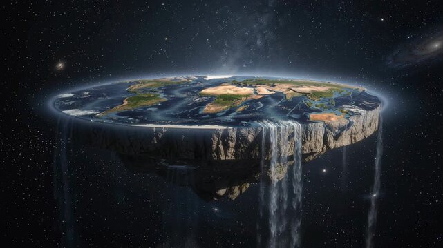
Surreal flat earth concept with continents and waterfalls in outer space under starry sky
00:05
Alta definición
Glowing blue world map displays connection points continents digital grid. global business, communication, data network, logistics, cybersecurity, travel technology, news , worldwide connectivity.
00:20
Alta definición
Zooming on New York, US. Earth zoom in from outer space to city. The animation continues by zoom out through clouds and atmosphere into space. View of the Earth at night. Images from NASA. 4K
00:20
Alta definición
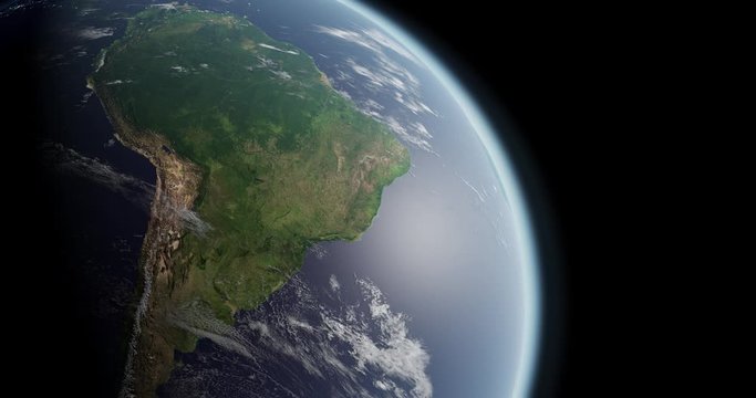
South American seen from space during daytime. Earth rotating slowly. Satellite view from earth orbit. Blue marble. Great for background. Brazil, Argentina. Elements of this image furnished by NASA.
00:40
Alta definición
Classic antique map Europe continent detailed historical cartographic illustration
00:10
Alta definición
Planet Earth from Space European Union Countries highlighted teal glow, 2020 political borders and counties, city lights, animation 3d illustration, elements of this image courtesy of NASA
00:30
Alta definición
World Map Night Lighting. Animation of the night lighting on different continents and countries of the planet. Perfect for social, scientific, research and promotional projects.
00:20
Alta definición
Europe Map. World map animation connecting all continents into a single world map with zoom in map of Europe with country borders in the background with alpha channel. Motion design.
00:08
Alta definición
Stylized golden planet Earth with illuminated continents and connecting lines symbolizing global communication and data exchange
00:10
Alta definición
Rotating earth in space zoom in on North America continent
00:17
Alta definición
Glowing hologram Earth highlights geopolitical borders blue orange lines creating futuristic digital globe dark background sense global connection hologram globe highlighted continent borders showing
00:05
Alta definición
Digital world map with glowing continents gently pulsating, as the camera slowly pans across the vibrant, futuristic scene, ideal for technology, innovation, and global connectivity concepts.
00:10
Alta definición
Detailed panning animation view of the african continent on a vintage political map
00:15
Alta definición
Realistic Earth Orbit and Zoom Glowing Borders Germany
00:14
Alta definición
continuous one line art drawing of world map 4k motion graphic video on white background
00:10
Alta definición
Europe continent map outline animation
00:07
Alta definición
Photorealistic motion background: generic conceptual healing and recovering composition. Green grass growing over the Earth. Nature recovering, being healed, continents coming to live with green herbs
00:10
Alta definición
Glowing blue light world map with continent outline on dark background digital global map
00:10
Alta definición
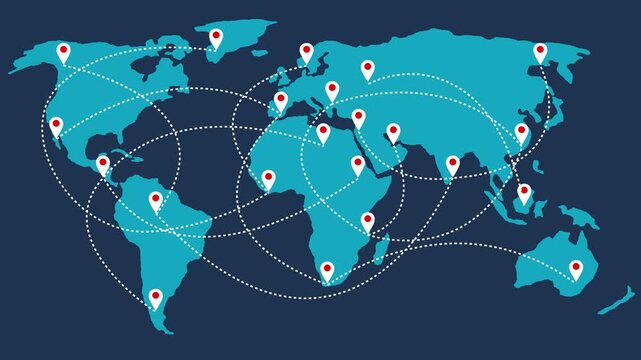
World map illustration with red location pins on continents in a blue grid background design
00:05
Alta definición
A breathtaking view of Earth from space, showing the sun's rise over a continent with lit-up cities below.
00:05
Alta definición
Global network connections over Earth with glowing lines.
00:08
Alta definición
Blue illuminated planet Earth continents energetic horizontal pulse visualizes global connectivity, satellite geography, climate, international trade, navigation, data networks digital transformation.
00:20
Alta definición
Animated world map with a dark blue route line crossing oceans and continents on beige. Global travel and trade route concept for shipping and logistics intros
00:15
Alta definición
Visualizing digital globalization through interconnected trade routes across major continents and countries using a cargo ship on vast ocean
00:10
Alta definición
A breathtaking view of planet Earth from space as the sun rises, casting warm golden rays across the continents and illuminating cities below
00:05
Alta definición
Aerial view of a continent at night with city lights
00:10
Alta definición
4K motion graphic of World continents map with alpha channel transparency. 2D cartoon animation of Global education, America, europe, Asia, Africa boundaries. Geographic landmass on white background.
00:10
Alta definición
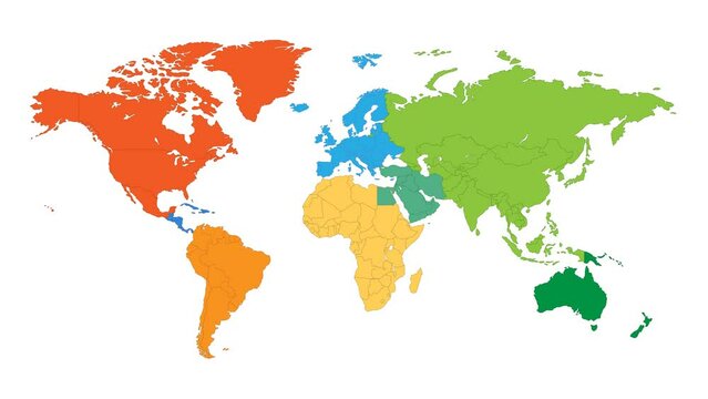
World map animation. Animation of connecting all continents into a whole color world map with borders in the background with an alpha channel. Motion design.
00:05
Alta definición
A brightly glowing and iridescent yellow outline of the African continent with the island of Madagascar
00:10
Alta definición
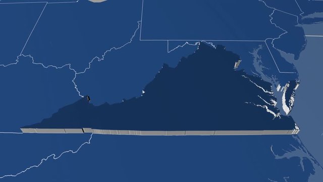
Virginia - United States, region extruded. Solids
00:05
Alta definición
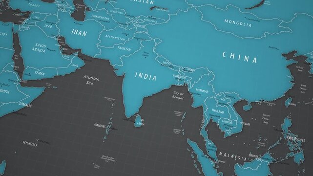
Animated political map showing the location of India in Asia. The camera gradually approaches the country, bringing New Delhi, neighboring states, national borders, the Arabian Sea, the Bay of Bengal,
00:18
Alta definición
Timelapse of Sunrise Over Rotating Earth Seen From Space, Golden Dawn Illuminating Glowing Urban Lights at Night. Opener Graphics for Broadcast News Intro on Communication, Connectivity, Future
00:12
Alta definición
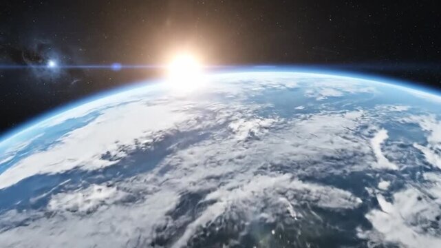
View of planet Earth from space shows the sunrise over the continents and the atmosphere, creating a beautiful
00:07
Alta definición
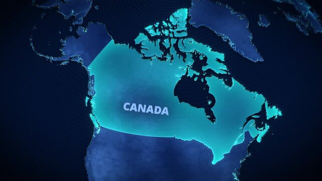
3D digital globe map highlighting Canada with glowing cyan borders and text, futuristic holographic cartography for corporate presentation backgrounds and broadcast news graphics.
00:12
Alta definición
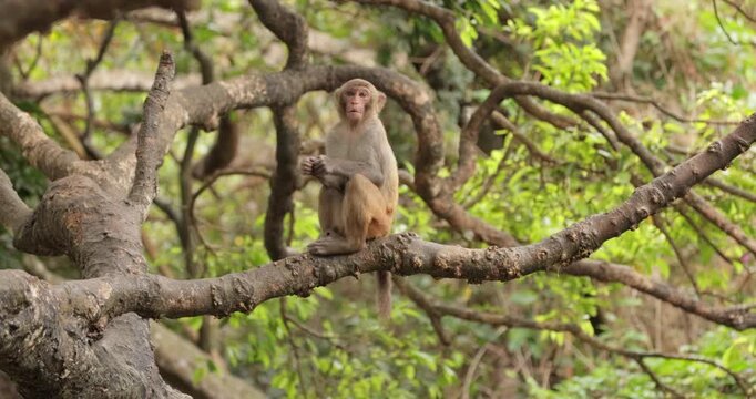
Macaques in nature. Macaques constitute a genus (Macaca) of gregarious monkeys. Macaques are found in a variety of habitats throughout the Asian continent and are highly adaptable.
00:28
Alta definición
Ocean and continents from outer space
00:14
Alta definición
4k .Animation of the world map with delivery points and routes. World map with travel routes and delivery of goods on all continents of the world.
00:10
Alta definición
Pushing towards planet Earth floating in space and zeroing in on the continent of Africa.
00:10
Alta definición
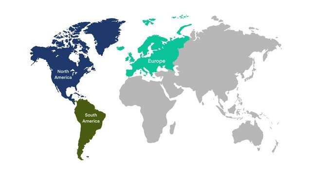
world map illustrating the continents with clear labels for North America, South America, Europe, Africa, Asia, and Oceania, educational and visually engaging map is ideal for geography lessons
00:10
Alta definición
A stunning view of the world from space, showing continents with city lights at night.
00:05
Alta definición
Hands holding a green earth globe with visible continents and foliage in a natural setting outdoors
00:05
Alta definición
Futuristic Earth with glowing network connections data lines across continents for technology global communication, AI systems blockchain visuals, cybersecurity themes, digital transformation projects
00:20
Alta definición
3D Earth with all continents (Europe, Asia, North America, South America, Australia, Greenland).
00:33
Alta definición
Earth Zoom out from Paris France to see the Earth from space Texture map courtesy of NASA.
00:12
Alta definición