암호 설정을 위한 링크가 다음으로 전송됨: 나중에 구매 기능을 이용하려면 암호가 필요합니다.
스톡 이미지 10개와 AI 편집 도구를 사용해 보세요
새 필터 추가됨
정렬 기준

전체에서 lro에 관한 115개 결과

보기: lro 비디오에서 (51)
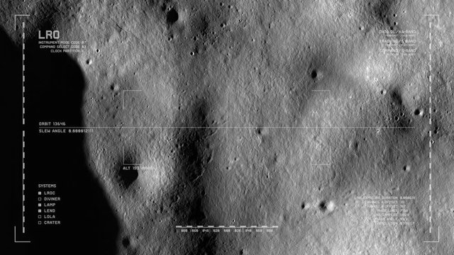
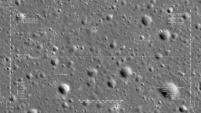
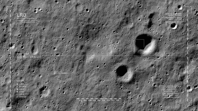
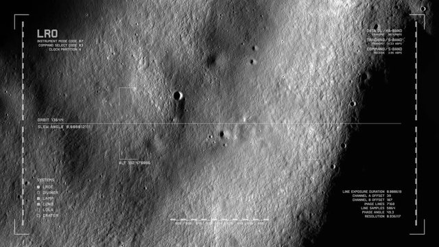
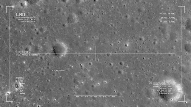
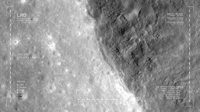
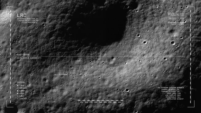
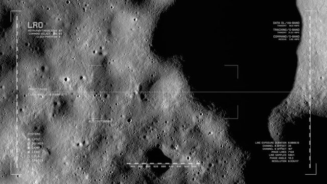
LRO imaging flyover: floor, Milankovic crater, north polar highlands, moon's far side. LAT 77.27 LONG 165.47. Looping, reversible. Scientifically accurate HUD. Elements of this image furnished by NASA
00:40
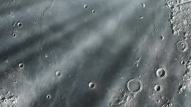
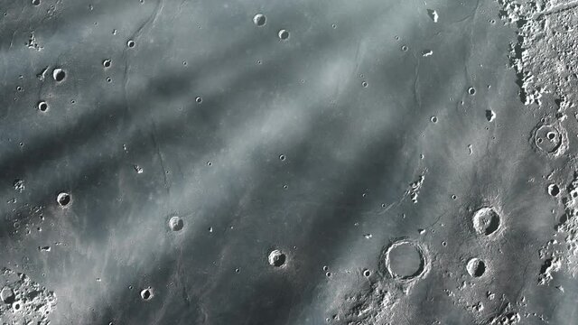
Flying over Mare Imbrium in the Moon. Elements of this Video furnished by NASA. 4K Resolution.
00:09
Moon surface scanned by orbital space sattelite
00:20
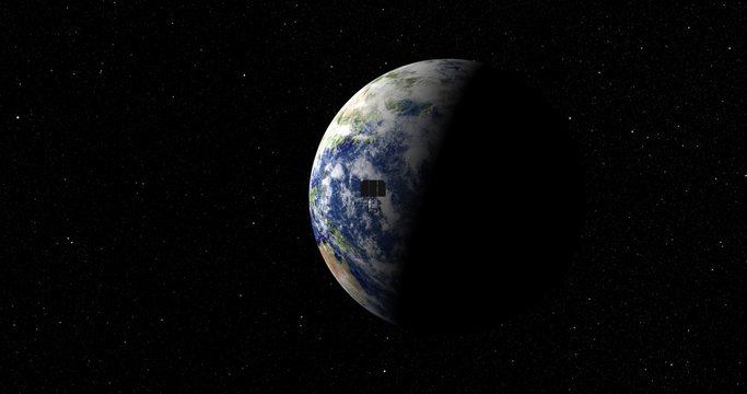
LRO spacecraft zips past camera as it departs Earth. Data: NASA/JPL
00:15
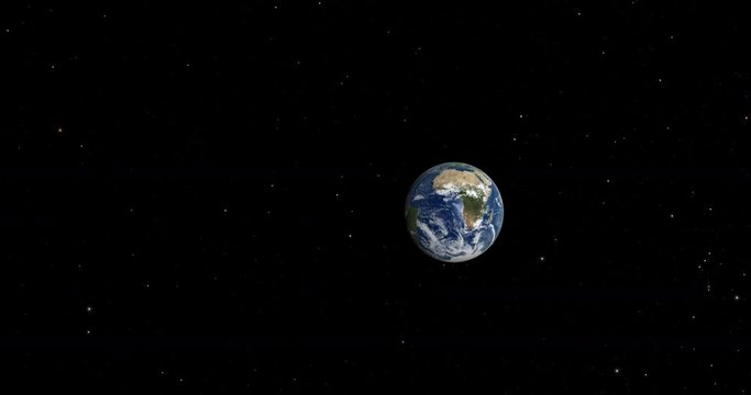
Fly To Earth From Moon
00:09
Mare Imbrium, one of the larger craters in the Solar System, on the Surface of the Moon. Elements of this video furnished by NASA.
00:09
Earth surface scanned by orbital space sattelite
00:20
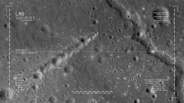
LRO imaging flyover: fields of new craters and ejecta, Mare Insularum. LAT 13.61 LONG 325.61. Clip loops and is reversible. Scientifically accurate HUD. Elements of this image furnished by NASA
00:40
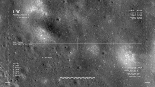
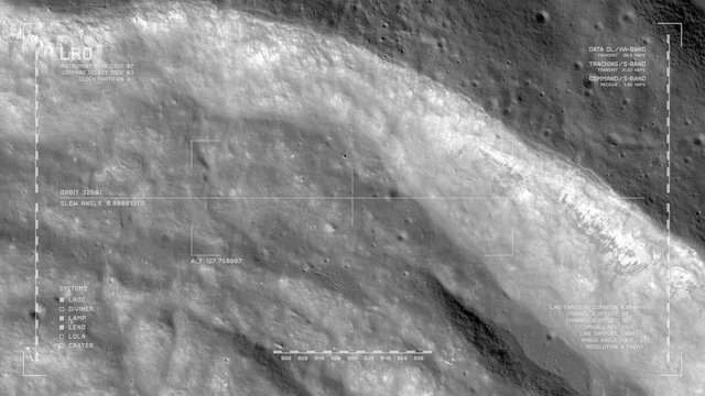
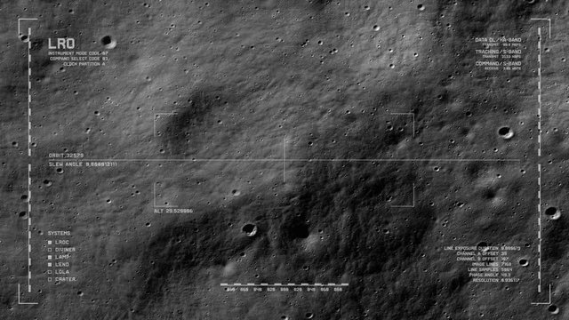
LRO imaging flyover: foothills of the western Montes Jura range. LAT 44.51 LONG 323.7. Clip loops and is reversible. Scientifically accurate HUD. Elements of this image furnished by NASA
00:40
LRO imaging flyover: foothills meet plains, western Montes Jura range. LAT 44.51 LONG 323.7. Clip loops and is reversible. Scientifically accurate HUD. Elements of this image furnished by NASA
00:40
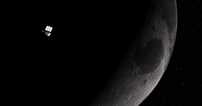
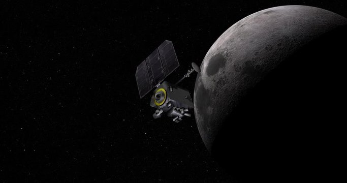
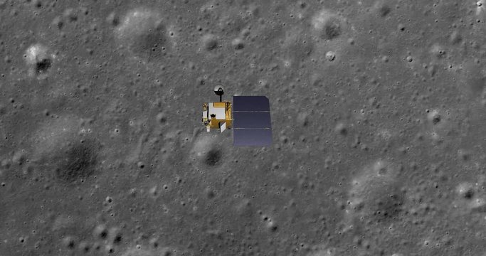
Long shot: the LRO spacecraft in orbit around Earth's Moon. Reversible, can be rotated 180 degrees. Elements of this image furnished by NASA.
00:29
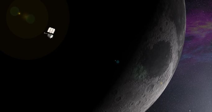
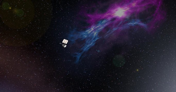
Long shot with lens effects and nebulae: the LRO spacecraft travelling through empty space . Reversible, can be rotated 180 degrees. Elements of this image furnished by NASA.
00:14
LRO imaging flyover: cratered plains of Sinus Iridum. LAT 42.45 LONG -34.32. Clip loops and is reversible. Scientifically accurate HUD. Elements of this image furnished by NASA
00:40
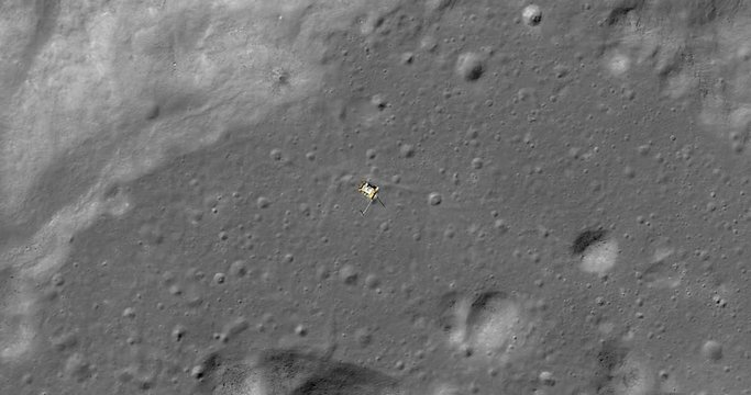
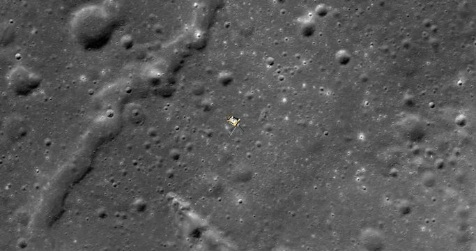
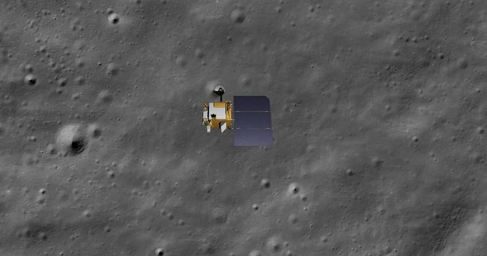
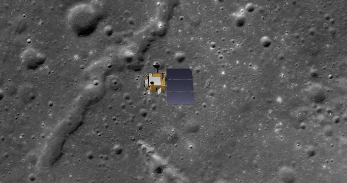
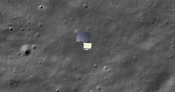
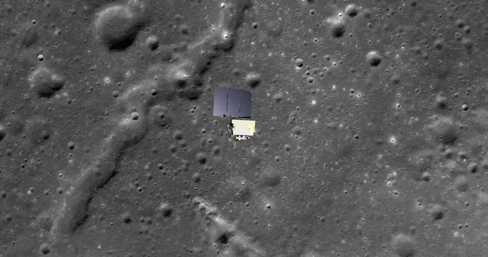
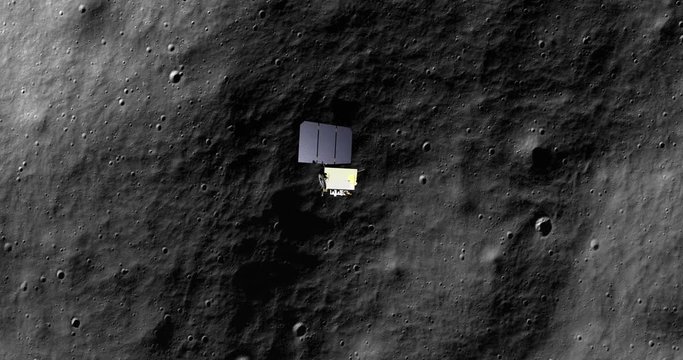
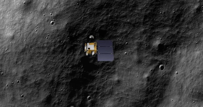
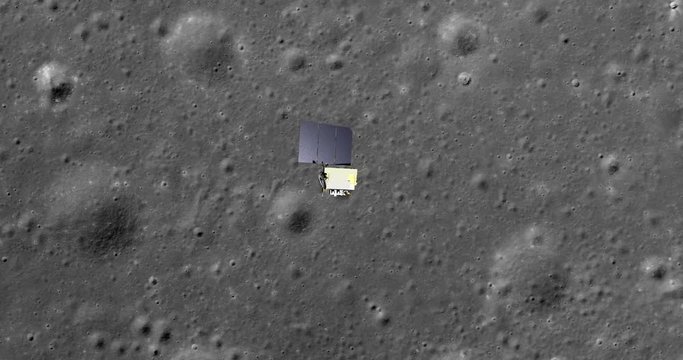
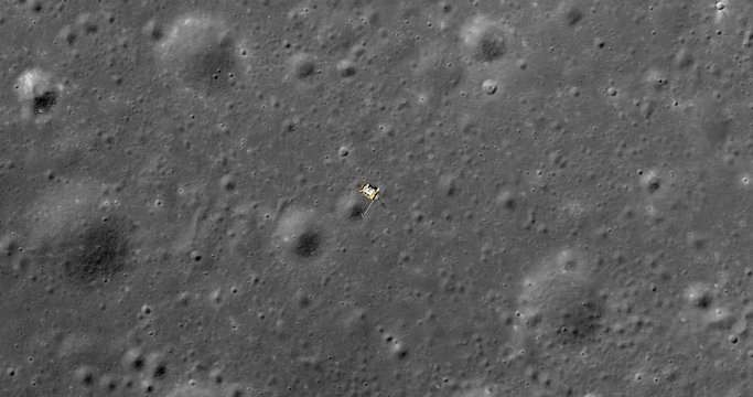
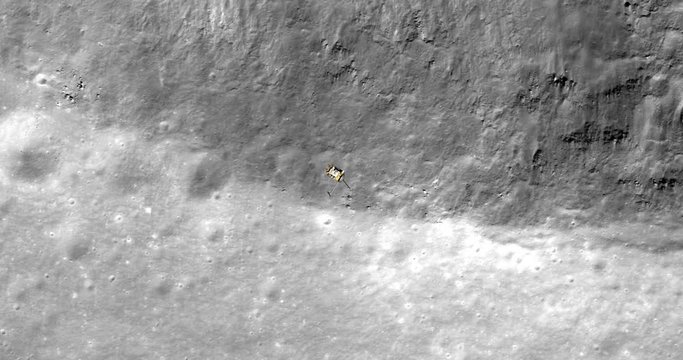
Top-down view, with snap zoom, of LRO positioning itself for a data gathering pass above cratered terrain, Mare Insularum. Elements of this image furnished by NASA
00:30
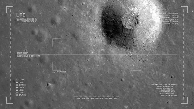
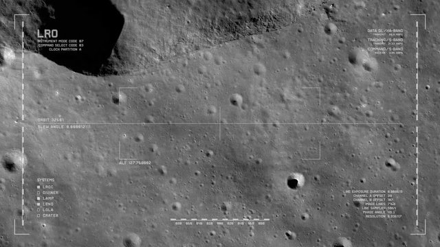
LRO imaging flyover: unnamed impact crater south of Dorsum Zirkel, Mare Imbrium. LAT 26.94 LONG 336.77. Clip loops. Reversible. Scientifically accurate HUD. Elements of this image furnished by NASA
00:40
LRO imaging flyover: cratered terrain, Mare Insularum. LAT 18.63, LONG 331.8   . Clip loops and is reversible. Scientifically accurate HUD. Elements of this image furnished by NASA
00:40
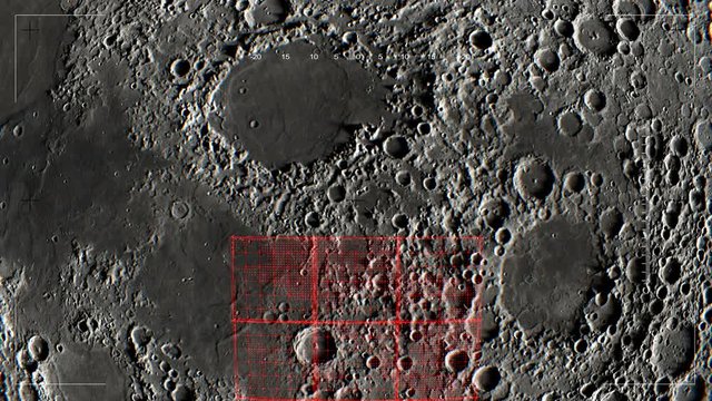
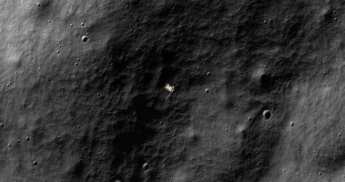
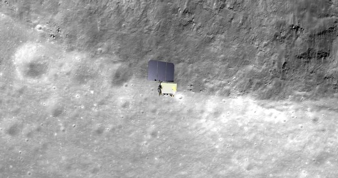
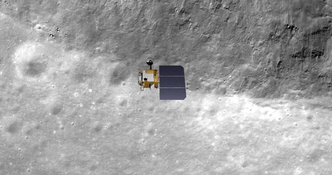
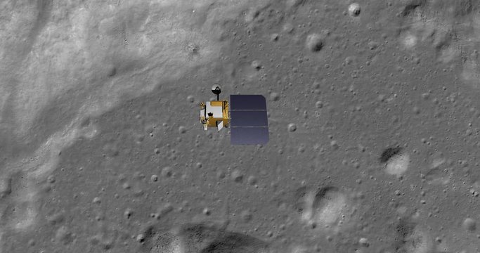
Top-down view, with snap zoom, of LRO positioning itself for a data gathering pass above floor of Moretus Crater, south polar highlands. Elements of this image furnished by NASA
00:30
LRO imaging flyover: South polar terrain, near Casatus. LAT -75.45 LONG -18.08. Clip loops and is reversible. Scientifically accurate HUD. Elements of this image furnished by NASA
00:40
LRO imaging flyover: Harpalus Crater, Sinus Roris. LAT  53.02 LONG 316.27. Clip loops and is reversible. Scientifically accurate HUD. Elements of this image furnished by NASA
00:40
Top-down view, with snap zoom, of LRO positioning itself for a data gathering pass above Harpalus Crater, Sinus Roris. Elements of this image furnished by NASA
00:30
LRO imaging flyover: south polar highlands, southeast of Casutus crater. LAT -76.96 LONG 341.28. Clip loops and is reversible. Scientifically accurate HUD. Elements of this image furnished by NASA
00:40
LRO imaging flyover: rolling terrain NNE of Chaplygin Crater. LAT -1.73 LONG 149.15. Clip loops and is reversible. Scientifically accurate HUD. Elements of this image furnished by NASA
00:40
Top-down view of LRO positioning itself and then making a data gathering pass above floor of Moretus Crater, south polar highlands. Elements of this image furnished by NASA
00:30
Long shot with lens effects and nebulae: the LRO spacecraft in orbit around Earth's Moon. Reversible, can be rotated 180 degrees. Elements of this image furnished by NASA.
00:29
LRO imaging flyover: south floor of Moretus Crater, south polar highlands. LAT -72.5 LONG 351.96. Clip loops and is reversible. Scientifically accurate HUD. Elements of this image furnished by NASA
00:40
Top-down view, with snap zoom, of LRO positioning itself for a data gathering pass above Harpalus Crater, Sinus Roris. Elements of this image furnished by NASA
00:30
LRO imaging flyover: SE edge, Montes Carpatus range, Mare Insularum. LAT 13.28 LONG 328.84. Clip loops and is reversible. Scientifically accurate HUD. Elements of this image furnished by NASA
00:40
LRO imaging flyover: Harpalus Crater, Sinus Roris. LAT  53.02 LONG 316.27. Clip loops and is reversible. Scientifically accurate HUD. Elements of this image furnished by NASA
00:40
LRO imaging flyover: ridged terrain due south of Mairan Crater. LAT 38.43 LONG 316.64. Clip loops and is reversible. Scientifically accurate HUD. Elements of this image furnished by NASA
00:40
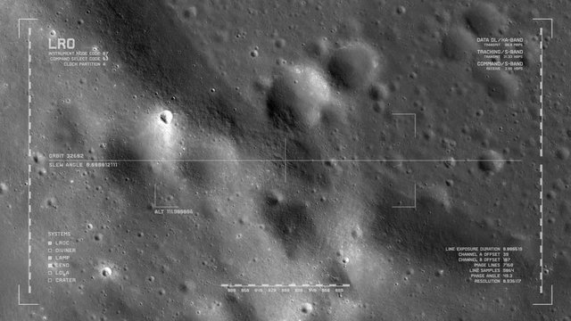
LRO imaging flyover: floor, Milankovic crater, north polar highlands, moon's far side. LAT 77.28 LONG 167.7. Looping. Reversible. Scientifically accurate HUD. Elements of this image furnished by NASA
00:40
Top-down view of LRO positioning itself for a data gathering pass above floor of Moretus Crater, south polar highlands. Elements of this image furnished by NASA
00:30
Long shot: the LRO spacecraft travelling through empty space . Reversible, can be rotated 180 degrees. Elements of this image furnished by NASA.
00:14
Top-down view, with snap zoom, of LRO positioning itself for a data gathering pass above new craters and ejecta, Mare Insularum. Elements of this image furnished by NASA
00:30
Top-down view of LRO positioning itself and then making a data gathering pass above cratered terrain, Mare Insularum. Elements of this image furnished by NASA
00:30
Top-down view of LRO positioning itself and then making a data gathering pass above new craters and ejecta, Mare Insularum. Elements of this image furnished by NASA
00:30
Top-down view of LRO positioning itself for a data gathering pass above new craters and ejecta, Mare Insularum. Elements of this image furnished by NASA
00:30
Top-down view of LRO positioning itself for a data gathering pass above Harpalus Crater, Sinus Roris. Elements of this image furnished by NASA
00:30
Lunar Reconnaissance Orbiter (LRO)  making a close pass of Earth's Moon. Data: NASA/JPL.
00:15
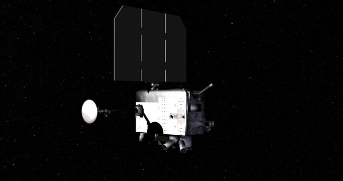
Flyby of Lunar Reconnaissance Orbiter spacecraft as it travels through empty space. Data: NASA/JPL.
00:16
Top-down view of LRO positioning itself and then making a data gathering pass above Harpalus Crater, Sinus Roris. Elements of this image furnished by NASA
00:30
Top-down view of LRO positioning itself and then making a data gathering pass above SE edge, Montes Carpatus range, Mare Insularum. Elements of this image furnished by NASA
00:30
LRO imaging flyover: edge of crater northwest of Montes Riphaeus. LAT -3.1 LONG -30.52. Clip loops and is reversible. Scientifically accurate HUD. Elements of this image furnished by NASA
00:40
Top-down view of LRO positioning itself for a data gathering pass above Harpalus Crater, Sinus Roris. Elements of this image furnished by NASA
00:30
Flyby of Lunar Reconnaissance Orbiter spacecraft on its final approach toward Earth's moon. Data: NASA/JPL.
00:16
Top-down view of LRO positioning itself and then making a data gathering pass above Harpalus Crater, Sinus Roris. Elements of this image furnished by NASA
00:30
Top-down view of LRO positioning itself for a data gathering pass above SE edge, Montes Carpatus range, Mare Insularum. Elements of this image furnished by NASA
00:30
Top-down view of LRO positioning itself for a data gathering pass above XTARGET. Elements of this image furnished by NASA
00:30
Flyby of Lunar Reconnaissance Orbiter spacecraft travelling toward a distant Earth's moon. Data: NASA/JPL.
00:16
Top-down view, with snap zoom, of LRO positioning itself for a data gathering pass above SE edge, Montes Carpatus range, Mare Insularum. Elements of this image furnished by NASA
00:30
Retimed, matrix-style flyby of Lunar Reconnaissance Orbiter spacecraft travelling through space. Data: NASA/JPL.
00:20
Flyby of Lunar Reconnaissance Orbiter spacecraft as it departs Earth and heads into space. Data: NASA/JPL.
00:16