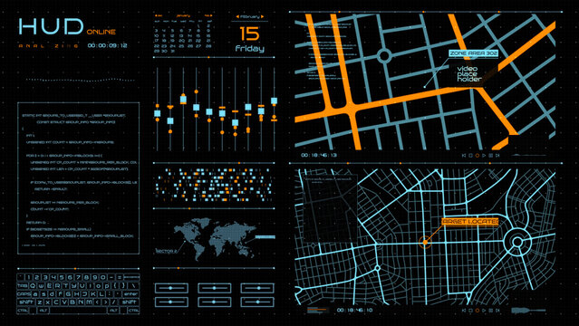
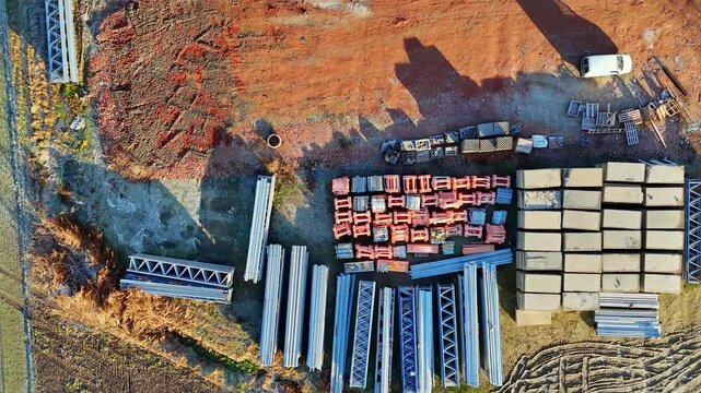
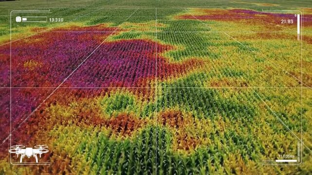
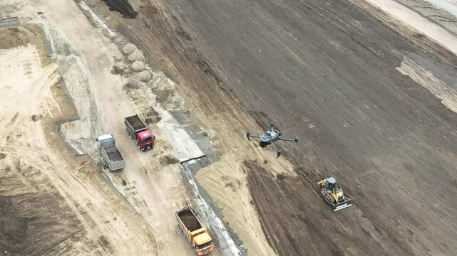
암호 설정을 위한 링크가 다음으로 전송됨: 나중에 구매 기능을 이용하려면 암호가 필요합니다.
스톡 이미지 10개와 AI 편집 도구를 사용해 보세요
새 필터 추가됨
정렬 기준

전체에서 drone mapping에 관한 88,707개 결과

보기: drone mapping 비디오에서 (18132)
Smart agriculture drone scanning corn field with thermal mapping technology monitoring plant health for precision farming efficiency
00:08
Engineer comparing digital elevation models from drone and LiDAR sources to enhance the accuracy of topographic mapping in complex environments.
00:05
Aerial view of a drone flying over a construction site.
00:09
A drone flies over a forest, mapping terrain with a digital grid overlay for surveillance or environmental monitoring. Climate innovation lab.
00:05
Drone Mapping River Delta with 3D LiDAR Visualization and Realistic Shadows
00:08
A drone soars through the clear blue sky, showcasing picturesque views of an expansive landscape below. The sun illuminates the scenery, enhancing the vibrant colors.
00:12
aet Hud Maps
Medium shot showing drone inspecting highaltitude mining area highlighting realtime data collection and terrain mapping technology.
00:06
Man piloting drone from boat on the ocean using tablet device.
00:08
A drone capturing wide-area thermal footage of farmland, mapping soil temperature variations that guide precision irrigation and crop health decisions. cinematic color correction, natural uneven
00:10
A modern tractor drives through a lush green field with a drone flying overhead at sunrise with digital graphs overlay
00:08
aet Hud Drones
Overhead drone view of crude oil pipelines running across vast land, showcasing energy infrastructure, petroleum transport systems, and the connection between extraction and global consumption. 4k.
00:11
Digital agriculture aerial farm field sensor soil crop yield mapping smart farm network connected fields sunset precision monitoring golden light
00:05
A modern grey quadcopter drone with a mounted camera, orange indicator lights, and spinning propellers on a white background
00:08
aet Hud Data Server
Futuristic Drone Network. Aerial Drone Fleet Displays Glowing Connections In Advanced Night Setting
00:05
Aerial view of construction site with excavator stacked building materials and service vehicles captured by drone
00:14