암호 설정을 위한 링크가 다음으로 전송됨: 나중에 구매 기능을 이용하려면 암호가 필요합니다.
무제한 다운로드와 강력한 AI 편집 기능으로 제약 없이 창작해 보세요
새 필터 추가됨
정렬 기준

비디오에서 coverage map us에 관한 2,960개 결과

Glowing blue coastlines fine light rays define Earth, leaving for text on the right. telecom promotions, global economy stories, corporate presentations, geography explainers, and broadcast graphics.
00:20
HD
Smart toothbrush coverage map of both dental arches blueprint loop

00:10
HD
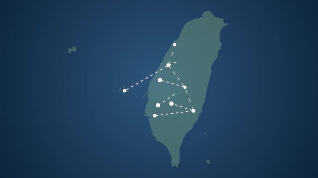
Taiwan Map Showing Data Signal Transfer Lines Between Locations
00:17
HD
Accountant Carefully Reviews Financial Audit Trail On Laptop
00:26
HD
Breaking news broadcast background with globe, world map silhouettes and lower third placeholder animation
00:19
HD
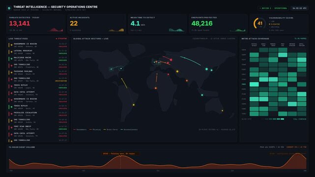
A high-stakes cybersecurity SOC dashboard displays real-time threat intelligence with a world map and live incident feed, illustrating a cold, precise monitoring atmosphere.
00:15
HD
Breaking News Template intro for TV broadcast news show program with 3D breaking news text and badge, against global spinning earth cyber and futuristic style. virtual news studio screen background
00:10
HD
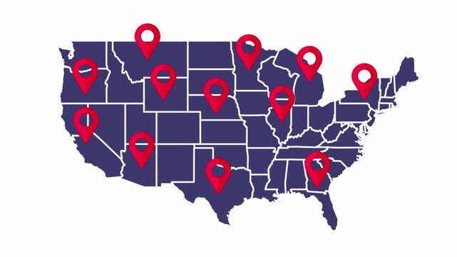
Animated USA Map with Multiple Red Location Pins on White Background
00:10
HD
Cellular Coverage Prediction Map With Three-Sector Base Stations and Handover Trails, Seamless Loop in deep slate tones
00:10
HD
Global map interface featuring a radar sweep detecting security threats
00:12
HD
Animated coverage rings expanding outward map drawn as a minimal vector city map in blue and azure on a light background. Smooth 4K seamless loop with blank markers and room for your own captions. Wid
00:07
HD
Cinematic 4K compliance monitoring dashboard visualizing control coverage, audit evidence status, and regulatory mapping in a dark enterprise governance interface with animated data matrices.
00:15
HD
Real-time traffic monitoring, interconnected nodes. 3D animation.
00:26
HD
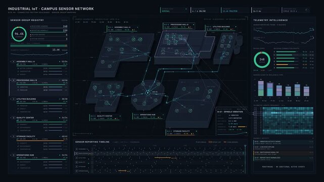
Premium 4K industrial IoT dashboard mapping sensor groups across connected factory buildings with live telemetry data visualization for commercial creative technology and business use.
00:15
HD
Mobile Network Hexagon Cell Coverage Map Device Handover Seamless Loop
00:15
HD
Global network connection visualization showing data exchange, digital link, worldwide communication. Global data flow and digital network infrastructure connecting regions around the world. Thunk
00:10
HD
Dotted world map in white and grey on black. Minimalist dotted world map in white and grey on black for global business layouts. Global dotted world map in white and grey on black.
00:12
HD
Futuristic 3D animation showing a digital signal pulsing from the center of the US map and expanding outward across the entire nation. Symbolizes wireless coverage, broadcasting, and network reach.
00:10
HD
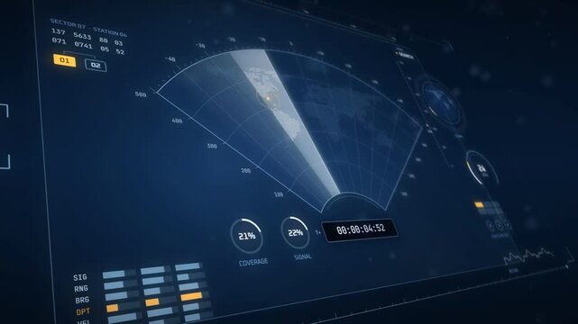
Holographic sonar display sweeping a world map with target contacts and coverage gauges
00:20
HD
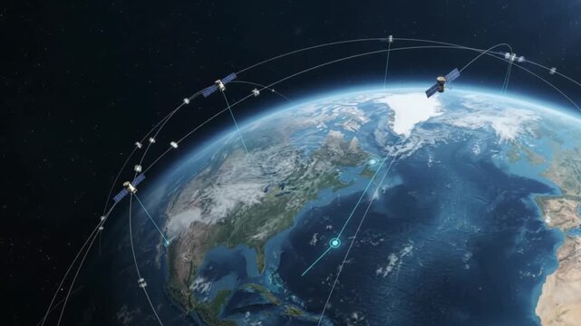
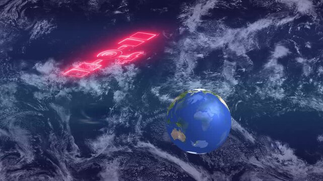
Planet Earth connects through orbiting satellites and glowing network paths, illustrating global communication, navigation, and modern space technology.
00:06
HD
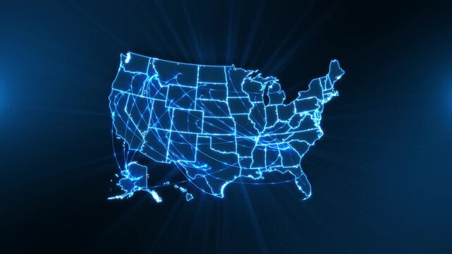
Glowing American state outlines backdrop, linked by luminous arcs network nodes. A geographic technology interstate communication, nationwide data connections, regional logistics and online services.
00:20
HD
Simplified world map location pins marking various continents animation
00:10
HD
Glowing state map with pulsing location markers in a dark digital space. Geographic data presentations, telecommunications coverage graphics, and location analytics explainers.
00:05
HD
Compliance Manager Reviews Risk Matrix On Laptop
00:15
HD
Breaking news world map backdrop background animation
00:15
HD
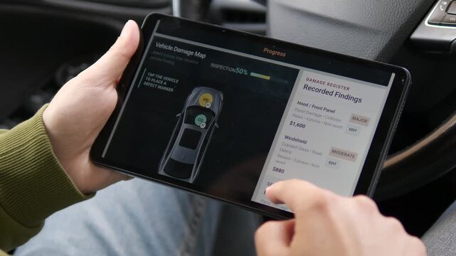
Insurance adjuster reviews vehicle damage on a tablet, mapping defects and logging repair estimates through a digital claims workflow inside a car.
00:13
HD
Global network expansion visualized with evolving location pins on a dotted world map over three stages
00:10
HD
4k .Animation of the world map with delivery points and routes. World map with travel routes and delivery of goods on all continents of the world.
00:10
HD
Cellular Coverage Prediction Map With Three-Sector Base Stations and Handover Trails, Seamless Loop in cool cobalt tones
00:10
HD
2D Animation of United States Map with Pin Pointers and Heart Icon, National Delivery Logistics and Nationwide Coverage Concept
00:07
HD
Animated coverage footprints overlapping on sphere drawn as a minimal mission control display in teal and cyan on a dark background. Smooth 4K seamless loop with a wireframe globe, orbit traces and em
00:07
HD
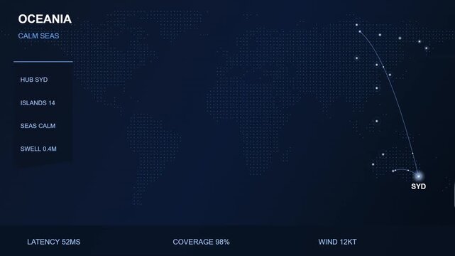
Oceania Regional Data Network Coverage Map with Maritime Connectivity Stats and Sydney Hub Visualization
00:10
HD
Monitoring Control Room. Operators Track a Spacecraft Signal Through Circular Radar, Frequency Waveforms, Code Logs and a World Map, Assessing Communications and Earth-orbit Coverage in Real Time.
00:11
HD
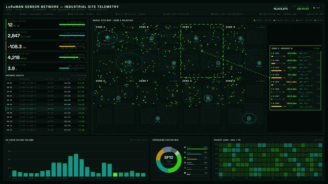
A detailed LoRaWAN sensor network dashboard visualizing a large industrial site with KPIs, aerial map, and analytics in dark mode featuring vibrant color accents.
00:15
HD
Satellite Ground Tracks Orbiting over World Map Day Night Seamless Loop
00:15
HD
Robotic probe mapping asteroid field with spectral sensors and telemetry, scanning rocky fragments for mineral composition while thrusters maintain careful
00:10
HD
Global satellite and wireless network coverage concept animation , satellite observing the earth below globe with world map outline on dark background.
00:10
HD
Futuristic 3D animation showing a digital signal pulsing from the center of the US map and expanding outward across the entire nation. Symbolizes wireless coverage, broadcasting, and network reach.
00:10
HD
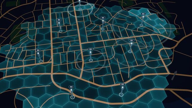
5G cell towers pop up across a city street map as hexagonal network coverage spreads to fill the area
00:14
HD
Map showing threat contacts and coverage areas for missile warning system
00:12
HD
A luminous digital globe coded world graphics creates premium technology global networks, data exchange, business, cyber security, cloud computing, communication, logistics international innovation.
00:25
HD
global network map links south america and africa
00:11
HD
Glowing blue neon light outline map of the United States on a solid black background.Ideal for US geography presentations, election coverage graphics
00:10
HD
Internal Auditor Reviews Laptop Data
00:18
HD
Live breaking news global graphic background animation
00:15
HD
South Africa Network Map with Straight Lines Connecting Locations for Signal Transfer
00:17
HD
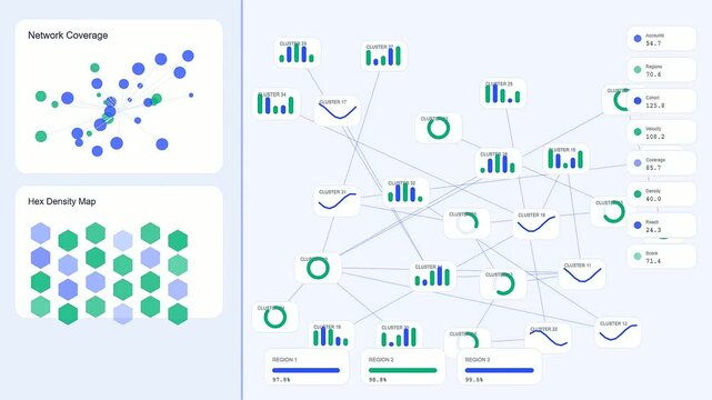
This digital dashboard displaying a revenue projection shows network coverage and hex density maps with various blue and green data points across multiple panels
00:06
HD
breaking news live broadcast, with blue world map animation, for news channels, television broadcasts, journalism, global news coverage, current events, media presentations, headlines live.
00:10
HD
Cellular Coverage Prediction Map With Three-Sector Base Stations and Handover Trails, Seamless Loop in bright slate tones
00:10
HD
Breaking news broadcast animation with rotating globe and bold red text. Ideal for news intro, television opener, and media presentation templates.
00:15
HD
Seamless 4K looping satellite animation: coverage cones from three satellites. Glowing vector tracking display in teal and cyan on a deep dark background, with grid lines, measurement ticks and blank
00:07
HD
Stylized world map continents showing cell towers and satellites communicating animation
00:14
HD
Rotating globe and world map animation with news live streaming graphic overlay.
00:40
HD
Enterprise retail inventory dashboard tracking store demand and product availability gaps with regional map, stock matrix, and lost sales analytics in dark UI.
00:15
HD
Global connectivity concept with a dotted world map revealing international links, flowing signals and shifting day to night shading, isolated on white background animated illustration
00:30
HD
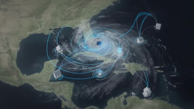
Parametric coverage concept captured with a detailed hurricane map in focus emphasizing rapid claim settlements as surrounding regions fade into soft blur.
00:10
HD
Centralized Logistics Hub Animation showing Main Location Pin Connecting to Multiple Branches
00:05
HD
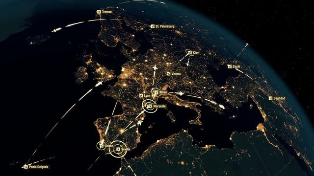
European Flight Connections. Global Communications - Destinations all over the World. Global Communications through the Network of Connections over Europe.
00:30
HD
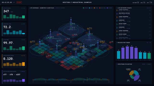
Explore a detailed dark-mode 5G industrial network coverage map featuring connected device overlays, KPI visuals, and a dynamic RF heatmap for effective network management.
00:15
HD
Antarctic Sea Ice Coverage Map Dashboard
00:11
HD
Futuristic blue map worldwide connections, regions, data movement, international communication. commerce, global markets, telecommunications, transportation, analytics, geography, network coverage.
00:25
HD
Pastel world map displays global cycling coverage
00:11
HD
Glowing neon light outline map of the United States on a solid black background.Ideal for US geography presentations, election coverage graphics
00:10
HD
Auditor Reviews Compliance Dashboard On Laptop
00:18
HD
Stylized news studio globe with dotted map backdrop background animation
00:17
HD
Tunisia Communication Network with Signals Connecting Multiple Locations
00:17
HD
US network map showing interconnected nodes
00:10
HD
The satellite constellation Starlink at an altitude of 550 km provides broadband Internet coverage of the entire populated surface of the Earth.
01:00
HD
Cellular Coverage Prediction Map With Three-Sector Base Stations and Handover Trails, Seamless Loop in rich terracotta tones
00:10
HD
Animated Globe Displaying Podcast Episode Markers Across Multiple Countries
00:08
HD
Animated coverage gap detection highlighting uncovered patch area drawn as a clean sci fi interface in blue and azure on a dark background. Smooth 4K seamless loop with blank readout panels and room f
00:07
HD
Global satellite and wireless network coverage concept animation
00:14
HD
UltraHD 4K Earth Zoom to Antarctica 3595
00:20
HD
3D Animated Political Map with Israel Palestine Outline Highlighted
00:06
HD
a representation of how the pandemic virus is spreading across the land, it is covering the globe with a burning effect, Europe, middle east, Africa, Asia.
00:08
HD
Outage map of the United States with outage severity levels
00:11
HD
Studio portrait of female news anchor sitting at news desk with world map background, serious expression, formal attire, professional presenter, cinematic lighting – video download"
00:10
HD
Global communication through a network of connections in Europe and around the world. Concept of internet, social media, traveling. High resolution textures of city lights, earth and stars. 4k.
00:19
HD
Breaking News Graphic with World Map Background
00:10
HD
United states coverage map animated america usa motion graphic video
00:05
HD
American map combines dense geographic numerical information global 19 demographic research, economic reporting, cloud systems, business intelligence, telecom analysis data presentations.
00:20
HD
Global smart home network on world map showing wireless connectivity, remote automation, IoT infrastructure and digital integration.
00:12
HD
Breaking news live broadcast concept with global world map digital studio background representing urgent television journalism report for media animation video
00:08
HD
IT Manager And Software Tester Discuss Risk Control
00:21
HD
Live breaking news global graphic background animation
00:14
HD
Luxembourg Map Illustrating Digital Communication and Signal Connection Network
00:17
HD
Global Satellite Network Orbiting Earth Connected to Smartphone Communication
00:05
HD
The satellite constellation Starlink at an altitude of 550 km provides broadband Internet coverage of the entire populated surface of the Earth.
01:00
HD
Cellular Coverage Prediction Map With Three-Sector Base Stations and Handover Trails, Seamless Loop in cool cobalt tones
00:10
HD
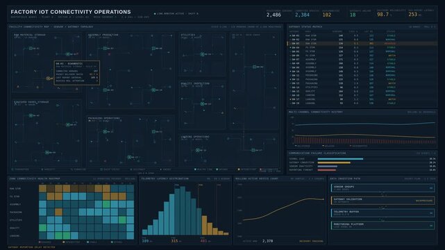
Factory IoT dashboard tracking sensor connectivity across storage and production zones with detailed network topology and telemetry status indicators for commercial creative technology and business.
00:15
HD
Abstract animated network coverage map wave drawn as cyan and teal lines and shapes on a deep dark background. Seamless looping 4K motion graphics video with free space for text, ideal for technology
00:07
HD
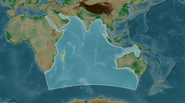
Indian Ocean. Close-up on a colored elevation map
00:08
HD
Global map with glowing connection points and lines representing worldwide digital network communication
00:06
HD
3D Animated Political Map with Guiana Outline Highlighted.
00:06
HD
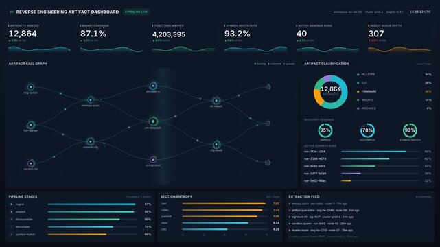
Reverse engineering artifact dashboard with live pipeline metrics, binary coverage, function mapping, symbol match charts for cyber security software analysis, monitoring
00:20
HD
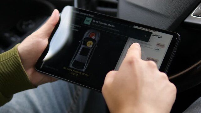
Insurance assessor reviews a vehicle damage map on a tablet, repositioning defect markers and comparing repair findings during a digital auto claim inspection.
00:08
HD
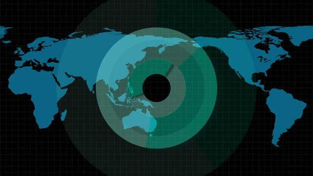
Technical world map with concentric teal and green data circles.
00:13
HD
Global communications through the network of connections from America to Europe. Concept of internet, social media, traveling. High resolution texture of city lights.
00:20
HD
Fond flou rose pastel et blanc
00:17
HD
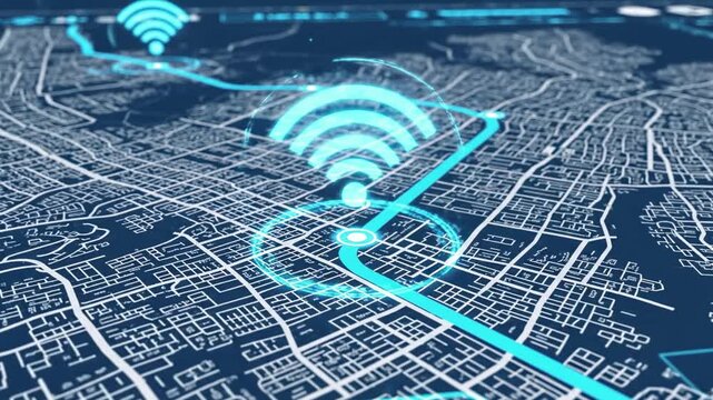
Digital map with WiFi symbols, illustrating network coverage in a city with glowing lines
00:08
HD