Il collegamento per impostare la password è stato inviato a: La password sarà necessaria per accedere in futuro ai tuoi acquisti.
Ottieni 10 immagini Stock con una versione di prova gratuita
Aggiunti nuovi filtri
Ordina per

626 risultati per ndvi in tutto

107 risultati in video
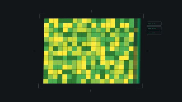
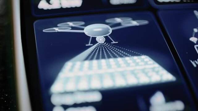
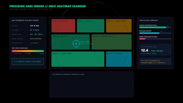
Smart Precision Agriculture Drone NDVI Crop Health HUD
00:10
HD
Seasonal Vegetation Green Up Over Continent From Space Seamless Loop
00:15
HD
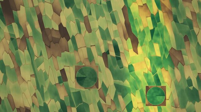
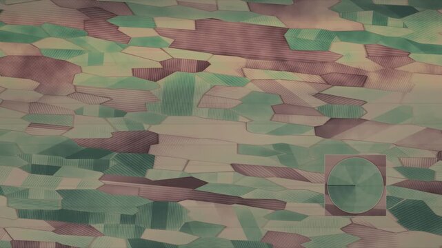
Aerial Farmland NDVI False Color Map With Drone Survey Swath And Center Pivot Irrigation Seamless Loop in deep brown tones
00:10
HD
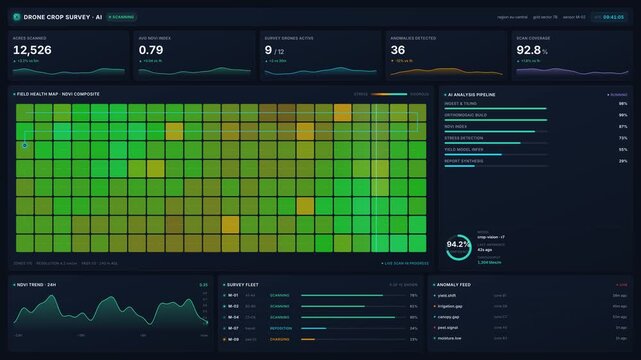
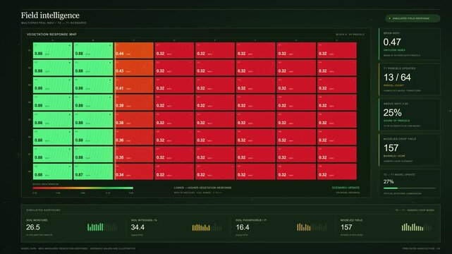
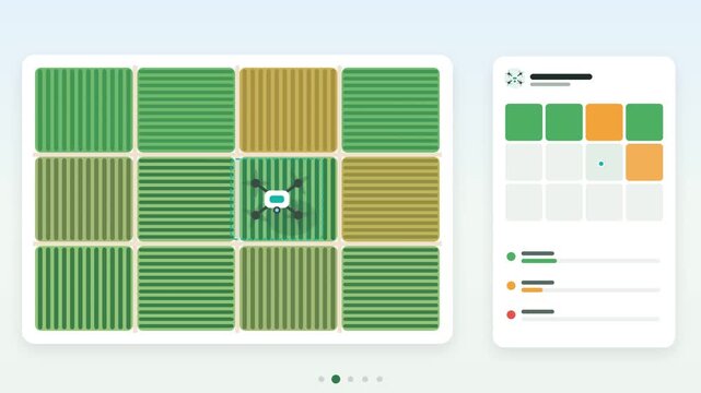
Drone crop survey dashboard with ndvi field health maps, live scan metrics, ai analysis pipeline, for precision agriculture, smart farming, 4k visualization
00:20
HD
Multispectral Satellite NDVI Vegetation Scanner Modern Farm Technology Vector Animation
00:05
HD
Explore a precision crop monitoring platform featuring an aerial farm topology with NDVI color-coded health indicators and a detailed twelve-stream time-series analysis for agriculture intelligence.
00:15
HD
Aerial Farmland NDVI False Color Map With Drone Survey Swath And Center Pivot Irrigation Seamless Loop in bright brown tones
00:10
HD
Drone NDVI Scan Over Golden Wheatfield
00:05
HD
Multispectral NDVI Crop Health Analysis Dashboard
00:15
HD
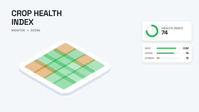
Isometric crop health index dashboard showing smart agriculture NDVI vegetation analysis with plant stress monitoring telemetry and precision farm field scoring analytics
00:17
HD
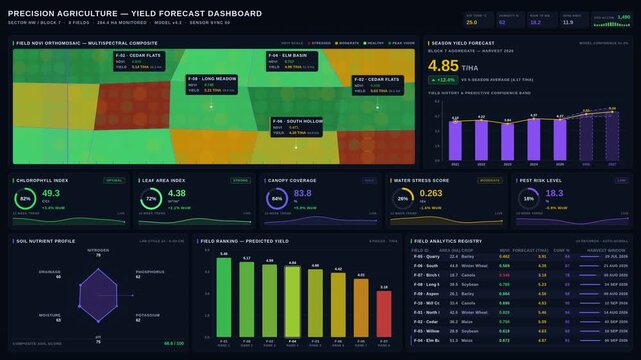
Explore the Precision Agriculture Yield Forecast Dashboard showcasing satellite imagery, NDVI gradients, and crop health metrics in a vibrant, modern design.
00:15
HD
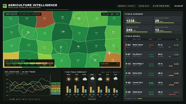
Illustrated top-down view of agricultural fields with NDVI color palette showcasing crop health and precision farming operations, featuring data panels and charts for analysis.
00:15
HD
Aerial Farmland NDVI False Color Map With Drone Survey Swath And Center Pivot Irrigation Seamless Loop in vibrant crimson tones
00:10
HD
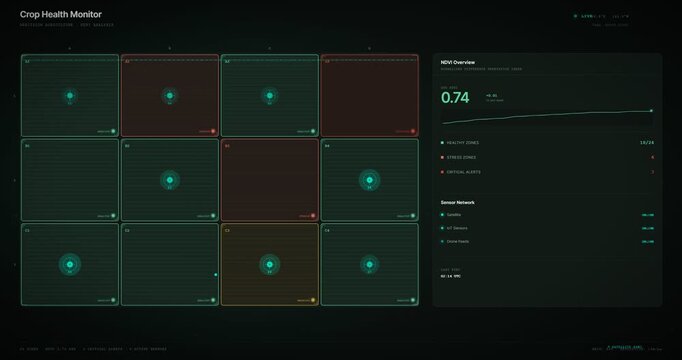
Crop Health Monitor displaying NDVI index readings on farm dashboard
00:10
HD
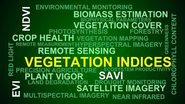
Vegetation Indices Word Cloud
00:11
HD
Digital Farming Interface Monitoring Crop Health with Drone NDVI Heatmap Data Analysis Dashboard
00:10
HD
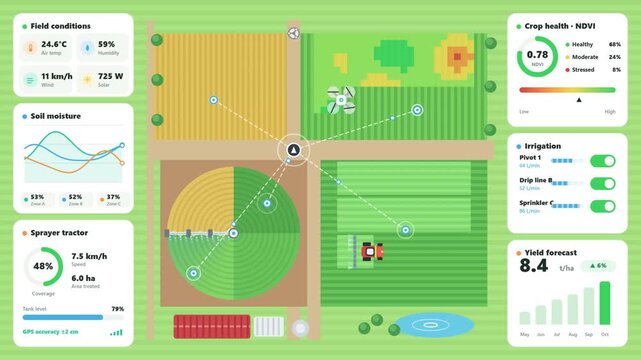
Smart farming dashboard monitoring real time agricultural data
00:10
HD
Multispectral images generated with DJI multispectral drone of vineyard fields, up elevator travelling
01:00
HD
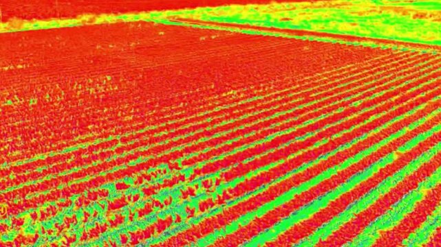
Crop stress drone scan changes vegetation index
00:09
HD
Aerial Farmland NDVI False Color Map With Drone Survey Swath And Center Pivot Irrigation Seamless Loop in calm rose tones
00:10
HD
Agricultural Drone Scanning Farm Field from Above Creating Crop Health Map with Healthy and Stressed Zones Seamless Loop Animation
00:15
HD
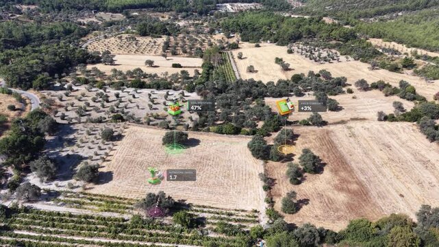
Smart agriculture aerial view. Olive grove IoT irrigation monitoring
00:21
HD
High-resolution orthographic satellite-style video of a large bridge connecting industrial port areas over a river
00:05
HD
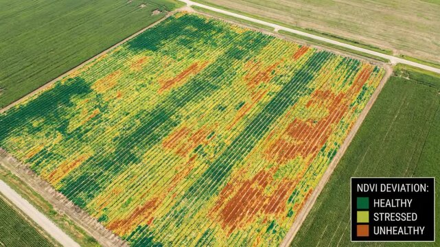
Ndvi drone crop health maps aerial field ndvi drone crop health maps showing vegetation vigor with color zones and stressed areas visible from ndvi
00:05
HD
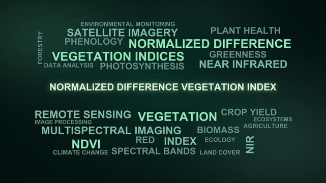
Normalized Difference Vegetation Index Word Cloud
00:09
HD
Abstract animated crop health scanned across a field index drawn as green and teal lines and shapes on a deep dark background. Seamless looping 4K motion graphics video with free space for text, ideal
00:07
HD
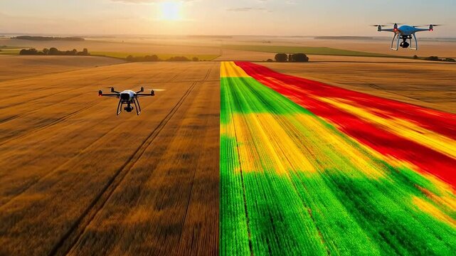
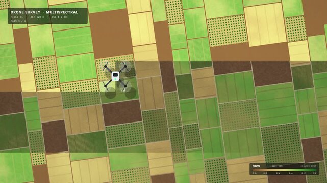
Top-down quadcopter survey of farm fields revealing an NDVI crop health strip, seamless loop
00:15
HD
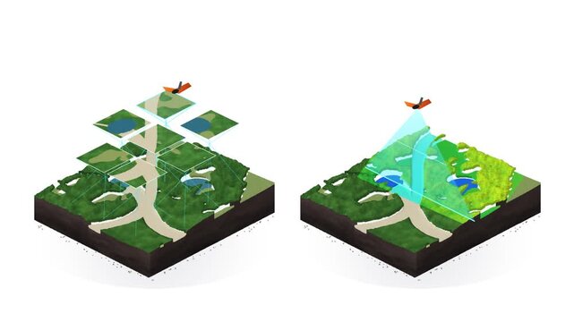
Fixed-Wing UAV Drone Aerial Photogrammetry Photo Tiles and Cyan LiDAR Terrain Scan 3D Isometric on White
00:10
HD
Teal crop field health heatmap detail view
00:15
HD
Blue crop field health heatmap angled view assembling
00:15
HD
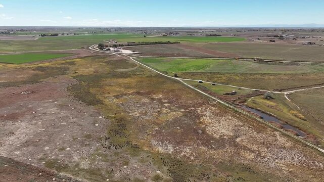
Colorado irrigated farmland on a clear fall day from a drone. Dynamic shot showing fields and ranches.
00:22
HD
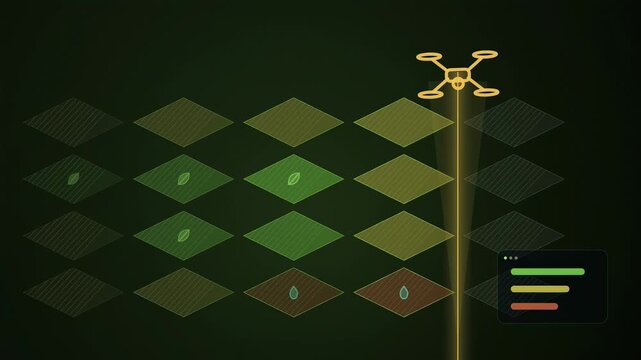
Drone sensing rays sweep across crop grid
00:09
HD
Aerial Farmland NDVI False Color Map With Drone Survey Swath And Center Pivot Irrigation Seamless Loop in deep brown tones
00:10
HD