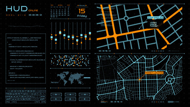
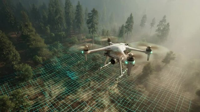
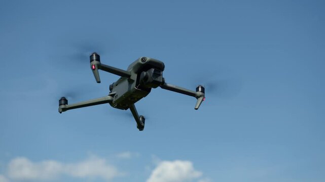
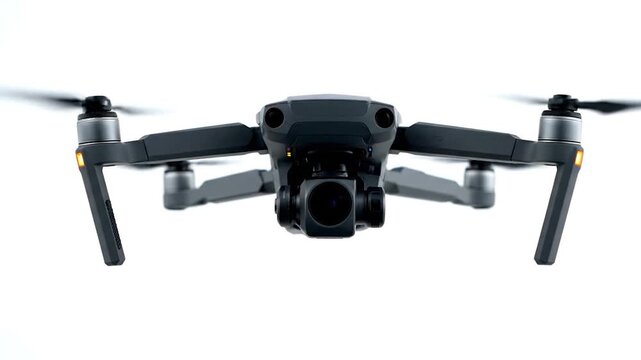
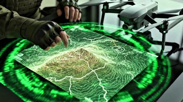
Il collegamento per impostare la password è stato inviato a: La password sarà necessaria per accedere in futuro ai tuoi acquisti.
Versione di prova gratuita: ottieni 10 immagini stock, più strumenti di modifica AI
Aggiunti nuovi filtri
Ordina per

88.631 risultati per drone mapping in tutto

Visualizza drone mapping in video (18104)
Smart agriculture drone scanning corn field with thermal mapping technology monitoring plant health for precision farming efficiency
00:08
aet Hud Maps
Engineer comparing digital elevation models from drone and LiDAR sources to enhance the accuracy of topographic mapping in complex environments.
00:05
A drone flies over a forest, mapping terrain with a digital grid overlay for surveillance or environmental monitoring. Climate innovation lab.
00:05
A drone soars through the clear blue sky, showcasing picturesque views of an expansive landscape below. The sun illuminates the scenery, enhancing the vibrant colors.
00:12
Drone Mapping River Delta with 3D LiDAR Visualization and Realistic Shadows
00:08
Man piloting drone from boat on the ocean using tablet device.
00:08
A drone capturing wide-area thermal footage of farmland, mapping soil temperature variations that guide precision irrigation and crop health decisions. cinematic color correction, natural uneven
00:10
Medium shot showing drone inspecting highaltitude mining area highlighting realtime data collection and terrain mapping technology.
00:06
aet Hud Drones
Overhead drone view of crude oil pipelines running across vast land, showcasing energy infrastructure, petroleum transport systems, and the connection between extraction and global consumption. 4k.
00:11
Futuristic Drone Network. Aerial Drone Fleet Displays Glowing Connections In Advanced Night Setting
00:05
video, military technology, a hand holding a green virtual map, drone, background, cinematic,
00:07
A modern tractor drives through a lush green field with a drone flying overhead at sunrise with digital graphs overlay
00:08
A modern grey quadcopter drone with a mounted camera, orange indicator lights, and spinning propellers on a white background
00:08
Digital agriculture aerial farm field sensor soil crop yield mapping smart farm network connected fields sunset precision monitoring golden light
00:05
aet Hud Military
Aerial view of construction site with excavator stacked building materials and service vehicles captured by drone
00:14
Land parcel with digital pin in aerial view, showcases plot of land for sale, its boundaries marked with precision, overlaid by digital pin indicating the exact location, representing property.
00:08