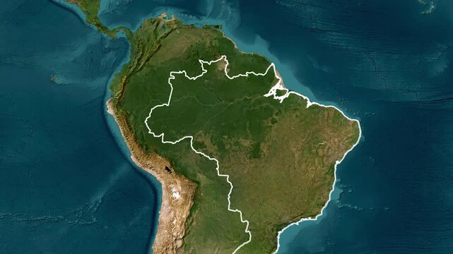
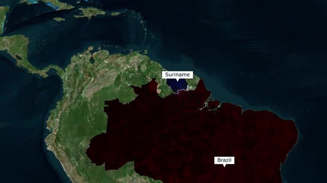
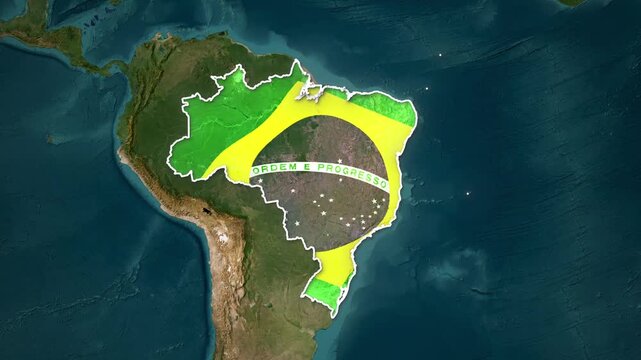
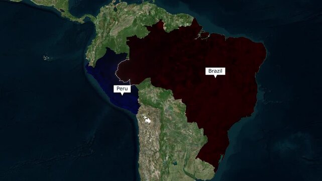
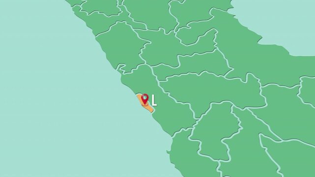
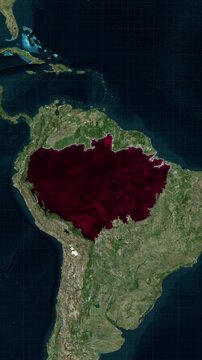
Il collegamento per impostare la password è stato inviato a: La password sarà necessaria per accedere in futuro ai tuoi acquisti.
Crea senza limiti: download illimitati e potente modifica AI
Aggiunti nuovi filtri
Ordina per

480 risultati per map amazon in video


Intendevi: map
Arrow Loop Animation video direction concept. colorful arrow icon concept on black background.4k
00:10
Satellite map animation of the border between Brazil and Guyana highlighting South American geography
00:10
Close up of eye of the Map Treefrog (Boana ventrimaculata). Blinking and showing its characteristic reticulated nictitating membrane.  In the rainforest, Orellana province, Ecuador.
00:17
Planet Earth View from Space Focusing on South America Blue Ocean
00:07
Mapa de Venezuela  con división política resaltando el estado Amazonas con su capital Puerto Ayacucho
00:30
Ecuador map displayed on laptop screen simple line art animation.
00:08
Geographic Pinpoint on Peru Country Map 4K
00:15
Peru animated country shape. Pulsating colored dots on the map of the country. Large size rounded square blocks. Digital style Peru map on white background. Awesome animation video.
00:16
Vista aérea de drone do encontro das águas no Amazonas. Rio Negro e Solimões.
00:26
South America Topographic Map Animation: Geography, Borders, and Terrain Visualization
00:08
Close Up Travel Concept of Hand Placing Green Pin on Guyana Location in World Map
00:13
Animated Peru map with flag, Silhouette of Peru with national flag
00:06
close-up 3d map of brazil and south america countries 4k animation
00:15
Night view of South America from space, showing city lights and lush forests.
00:10
Brazil Highlighted on World Map Animation, Country Location Reveal
00:12
A 3D rendered globe, focused on South America, showcasing land elevation and ocean depth
00:05
south america continent viewed from space video
00:10
"Animated Delivery Truck Following GPS Navigation Route on City Street Map — Last Mile Logistics"
00:20
Detailed satellite view of South America with cloud formations and surrounding ocean on Earth from space
00:05
Brazil map transforms from space, highlighting its borders into a vibrant, lush Amazon rainforest, showcasing rich ecosystems, biodiversity, and environmental importance. Ideal for documentaries,
00:07
Amazon River Animation 1080 footages 00.15
00:15
Satellite map animation of the border between Brazil and Suriname highlighting South American geography
00:10
Close up of eye of the Map Treefrog (Boana ventrimaculata). Blinking and showing its characteristic reticulated nictitating membrane.  In the rainforest, Orellana province, Ecuador.
00:07
Brazil is depicted with its national flag animation overlaying a satellite view of the country
00:21
Mapa de Venezuela  con división política resaltando el estado Amazonas
00:30
Amazon Rainforest Map Animation On South America Satellite View
00:25
Satellite View of Bolivia with Red Marker| GPS Pinpoint Location on Bolivia South America Map | Satellite View of Bolivia with Red Marker |
00:15
Venezuela animated country shape. Pulsating colored dots on the map of the country. Large size circle blocks. Digital style Venezuela map on white background. Amazing animation video.
00:16
Laptop displaying the map of Peru country outline.
00:08
Travel concept with airplane, stamped passport, and dollar notes over world map showing Ecuador flag, symbol of South American tourism.
00:07
Brazil map zoom, country border animation, satellite terrain background, focused highlight effect, South American country outline, blurred surroundings view, infographic cartography motion
00:05
Stylized map of Venezuela featuring energetic colors and bold silhouette
00:06
Emerging Brazilian Map Silhouette from Flying Circles in Generative Art
00:20
Brazil, Peru, Bolivia, Ecuador, Colombia and the Amazon Rainforest from space slow zoom into orbiting earth
00:20
Brazil Location Highlight on Global Map, South American Country Animation
00:12
Animated map of South America with a smooth camera flyover.
00:17
Animated Globe Zooming into Belem Brazil with Geographic Data Overlay
00:20
Peru country MAP Oil war data analytics Background With Abstract Elements | Showcasing Oil Pump jacks technology Video with globe, Growth, Graphs, Statistic Data of a country
00:27
Brazil Map Location Pin with Futuristic Technology Grid Smart City Brazil Location Pin on Hi-Tech Background
00:14
Glowing neon location animated icon searching place address travel direction road signs map circle animated signs symbol on black background, 4k video
00:10
Delivery truck logistics transport service
00:05
Satellite map animation of the border between Brazil and Colombia highlighting South American geography
00:10
Close up of the head of the Map Treefrog (Boana ventrimaculata). In the rainforest, Orellana province, Ecuador.
00:13
Small town called Óbidos, on the banks of the Amazon River. Aerial view.
00:29
Mapa de Colombia con división política resaltando el estado Antioquia.
00:30
Amazon Rainforest LiDAR Mapping Visualization from Satellite View
00:25
congo map. Group of people walk and create a map of congo.
00:17
Mato Grosso, Brazil on Globe. Animated zoom into the state. Mato Grosso, Brazil intro, logo, presentation animation. Boundary shape on globe with round text. Short video.
00:18
Amazonas, state of Brazil, with its capital, localized, outlined and zoomed with informative overlays on a satellite map in the Stereographic projection. Animation 3D
00:09
American financier passes stack of dollars to Brazilian diplomat against world map with US and Brazilian flags for agricultural partnership.
00:10
Brazil map zoom, country border animation, satellite terrain, location pin text box, focused highlight effect, South American outline, blurred surroundings, infographic cartography motion
00:05
colombia map yellow blue red stripes travel culture showcase
00:06
Central America from Space
00:10
Brazil, Peru, Bolivia, Ecuador, Colombia at night from space slow zoom into orbiting earth
00:16
Acre text - Brazil Colors Minimalist Glitch Animation
00:10
River delta satellite aerial view of Amazon river, landscape of Brazil South America with Atlantic ocean coastline animation. Based on image by Nasa
00:16
Orbiting over South America. Photorealistic animation, created using extremely highres (50k+ ) textures. 2nd half of the video contains border masks that can be overlayed using masking & keying.
00:16
Amazon Brazil
00:10
Peru Location Text Animation on Futuristic Digital Grid Background location, pin, marker, map, country, text
00:14
Sun, earth and moon 4K. Sunset. Moon rising behind planet earth horizon while sun is shining with lens flare. Cinematic space scene. Stars at the background. Elements of this image furnished by NASA.
00:02
Amazonas - state of Brazil, extruded. Satellite map
00:07
Satellite map animation of the border between Brazil and Bolivia highlighting South American geography
00:10
Close up of the head of the Map Treefrog (Boana ventrimaculata). In the rainforest, Orellana province, Ecuador.
00:12
Brazil Map, States and Regions. 3D Animated Brazilian map intro background and camera movement. 3D Rendering. 4k
00:08
Mapa de Colombia con división política resaltando el estado Bolívar con su capital Cartagena.
00:30
Amazon Rainforest Map Animation In South America Tropical Forest Geographic Visualization
00:30
Animated Brazil map icon with a glowing neon effect
00:08
Venezuela on Globe. Animated zoom into the country in Ocean Blue Golden Yellow color palette. Venezuela logo animation. Map with meridians, parallels. Modern video.
00:12
world map waving white flag
00:20
brazil map. Group of people walk and create a map of brazil.
00:17
View of South America from space, View of the Amazon River from space
00:15
Dynamic illustration of Ecuador with national colors and emblem
00:06
Deforestation. Logging. Trees in rainforest destroyed to make way for oil palm plantations
00:15
Amazonas, state with its capital, zoomed and extruded on the satellite map of Brazil in the conformal Stereographic projection. Animation 3D
00:08
Amapá text - Brazil Colors Minimalist Glitch Animation
00:10
Detailed 3D Render of South America Map with Topographic Features
00:05
exotic fish in the sea 4k footage
00:44
Planet Earth rotates, zoom to South America, 4K Ultra HD. Alpha Channel World in the space, continent South America
00:20
Neon Map of Brazil, Brazil outline, Animated close up map of Brazil
00:08
World map with animation of wildfires all over the globe, throughout the years
00:30
Mouth of the River of Silver or Rio de la Plata in planet earth, aerial view from outer space
00:20
Satellite map animation of the border between Brazil and Peru highlighting South American geography
00:10
Close up of eye of the Map Treefrog (Boana ventrimaculata). Blinking and showing its characteristic reticulated nictitating membrane.  In the rainforest, Orellana province, Ecuador.
00:14
Zoom from Earth to the Amazon River 3d natural earth map animation.
00:30
Mapa de Perú con división política resaltando el departamento Lima
00:30
Amazon Rainforest Animated Map With Loop Animation In Vertical
00:25
Drone surveying deforestation in a vast rainforest
00:10
Bolivia map animation. Shape of the country with pulsating colored dots. Small size circle blocks. Digital style Bolivia map on white background. Stylish video.
00:16
3d animated flag in 4k. The flag map of the world in a military style. Maybe the card or the card Defense attacks. Maybe the cold war. It is clearly seen Africa, the USA, China and India, Europe
00:45
suriname map. Group of people walk and create a map of suriname.
00:17
View of South America from space, View of the Amazon River from space
00:13
Colombia country map animation South America, detailed geography visualization
00:09
Realistic Earth view from space featuring the Western Hemisphere. Digital rendering of North America and the Amazon rainforest. Stunning planetary depiction with glowing atmosphere.
00:09
Aerial 4K view over the confluence of the black waters of the Rio Negro with the yellow waters of the Solimoes River. The place from where the Amazon river starts on all maps. Manaus, Brazil.
00:13
Mato Grosso text - Brazil Colors Minimalist Glitch Animation
00:10
Detailed continent of South America from space featuring diverse geography and surrounding ocean, showcasing land borders.
00:05
Abstract digital animation with glowing map with dots pattern and infromation data in coding windows. 3d background
00:14
Planet Earth rotates, zoom to South America, 4K Ultra HD. World in the space, continent South America
00:20
Spaceship flies over the planet Earth. Cinematic shot of Amazon jungle view from space. View Of Planet Earth From Space. 3d animation
00:30
Smoke and wildfire overlay on Australia map - 3d render animation - based on public domain NASA image data
00:24