Un lien pour définir votre mot de passe a été envoyé à : Pour accéder à vos achats à l’avenir, vous aurez besoin d’un mot de passe.
Obtenez 10 images Stock avec un essai gratuit
Nouveaux filtres ajoutés
Trier par

105 résultats pour lro dans tout

51 résultats dans les vidéos
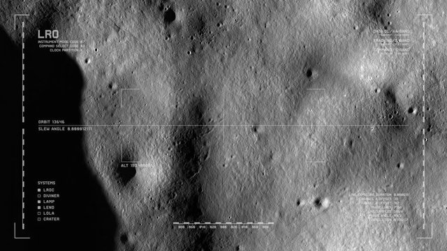
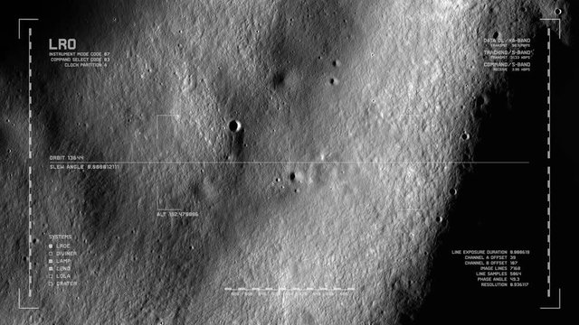
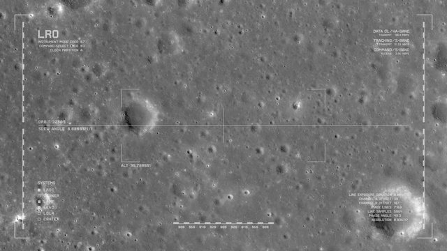
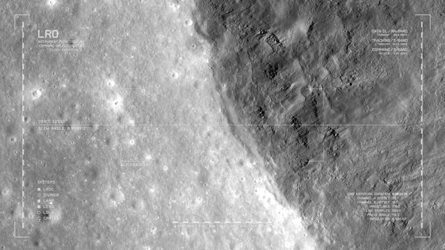
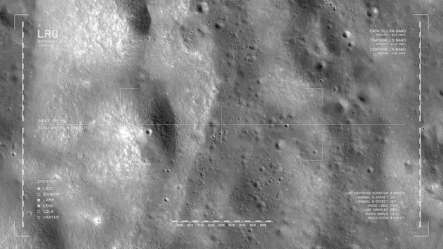
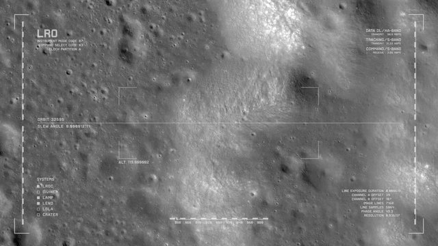
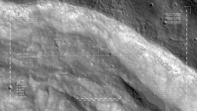
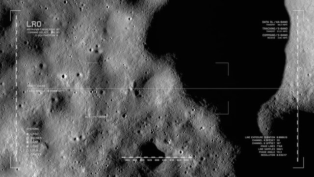
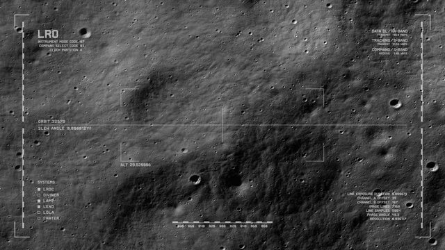
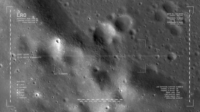
LRO imaging flyover: floor, Milankovic crater, north polar highlands, moon's far side. LAT 77.27 LONG 165.47. Looping, reversible. Scientifically accurate HUD. Elements of this image furnished by NASA
00:40
HD
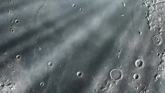
Flying over Mare Imbrium in the Moon. Elements of this Video furnished by NASA. 4K Resolution.
00:09
HD
Fly To Earth From Moon
00:09
HD
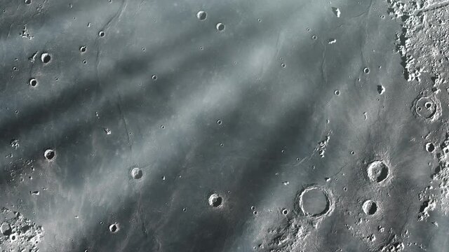
Moon surface scanned by orbital space sattelite
00:20
HD
LRO imaging flyover: cratered plains of Sinus Iridum. LAT 42.45 LONG -34.32. Clip loops and is reversible. Scientifically accurate HUD. Elements of this image furnished by NASA
00:40
HD
Mare Imbrium, one of the larger craters in the Solar System, on the Surface of the Moon. Elements of this video furnished by NASA.
00:09
HD
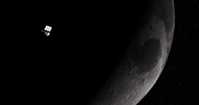
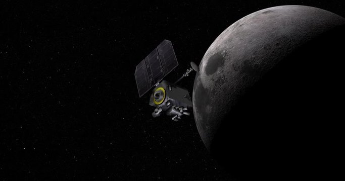
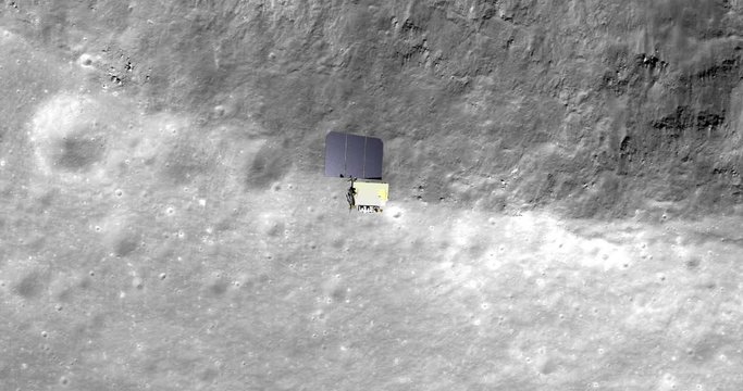
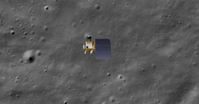
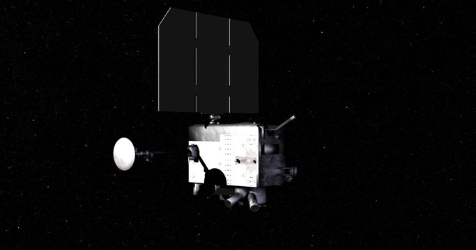
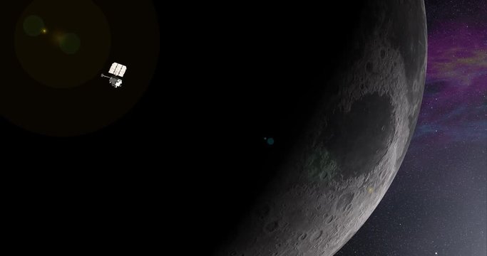
Long shot: the LRO spacecraft in orbit around Earth's Moon. Reversible, can be rotated 180 degrees. Elements of this image furnished by NASA.
00:29
HD
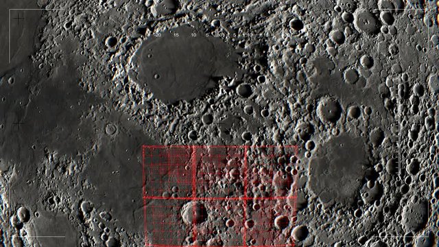
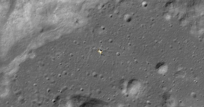
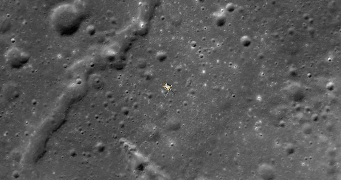
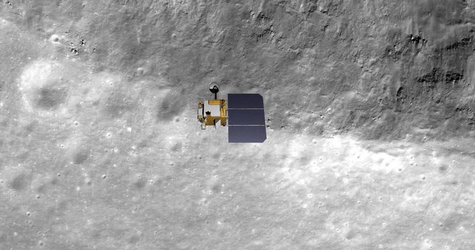
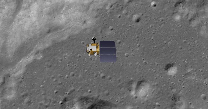
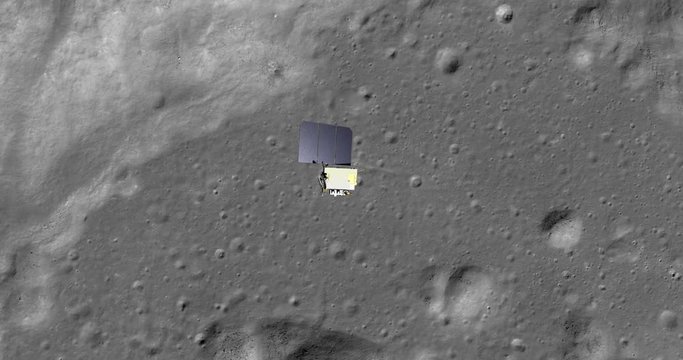
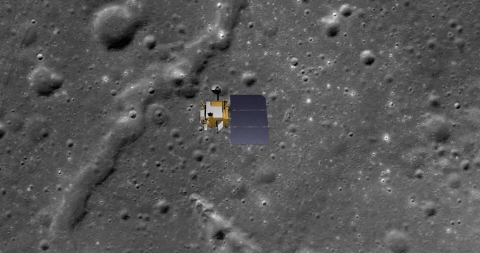
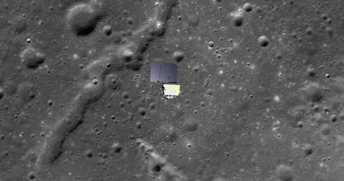
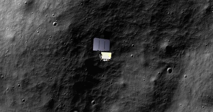
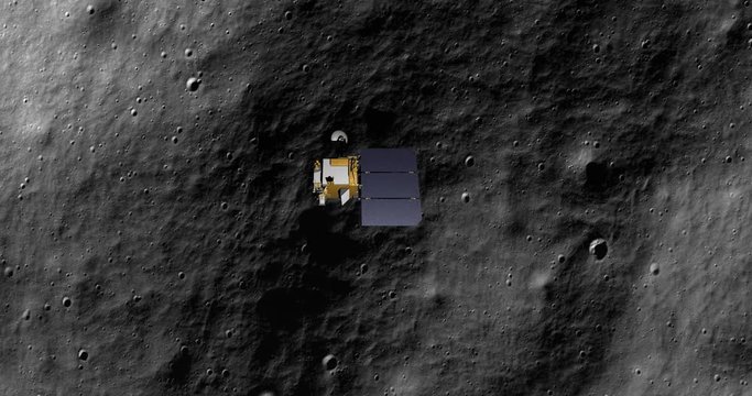
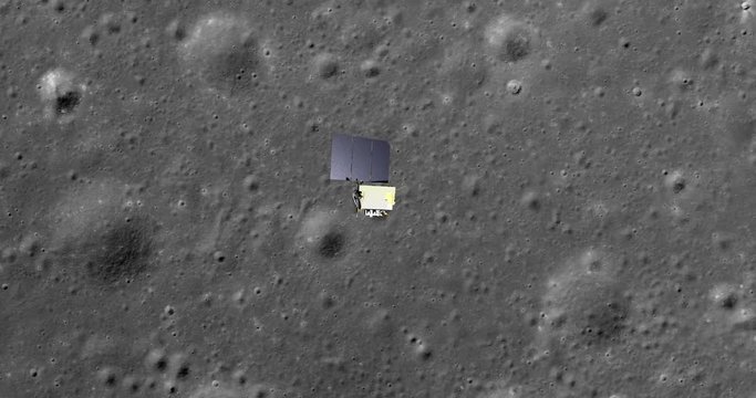
Top-down view, with snap zoom, of LRO positioning itself for a data gathering pass above Harpalus Crater, Sinus Roris. Elements of this image furnished by NASA
00:30
HD
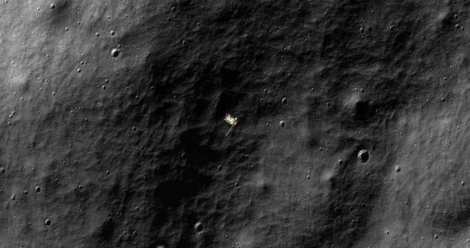
Top-down view, with snap zoom, of LRO positioning itself for a data gathering pass above floor of Moretus Crater, south polar highlands. Elements of this image furnished by NASA
00:30
HD
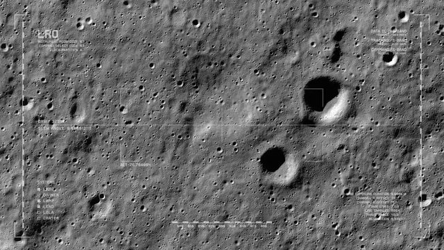
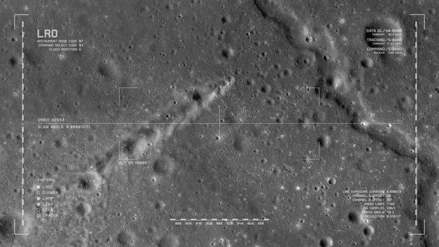
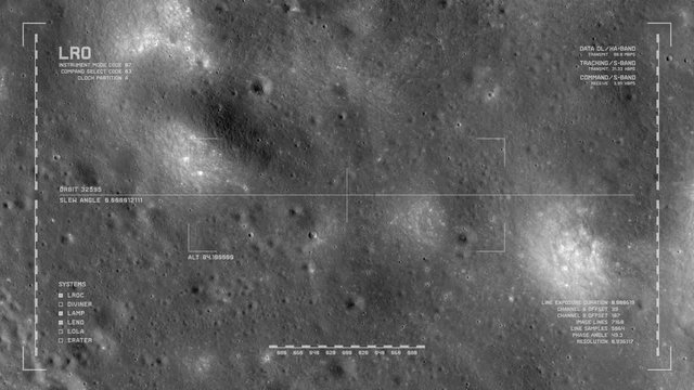
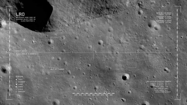
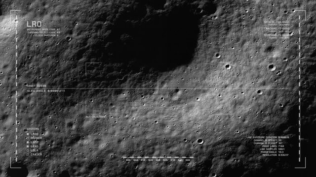
LRO imaging flyover: south polar highlands, southeast of Casutus crater. LAT -76.96 LONG 341.28. Clip loops and is reversible. Scientifically accurate HUD. Elements of this image furnished by NASA
00:40
HD
Lunar Reconnaissance Orbiter (LRO)  making a close pass of Earth's Moon. Data: NASA/JPL.
00:15
HD
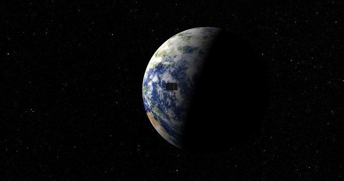
LRO spacecraft zips past camera as it departs Earth. Data: NASA/JPL
00:15
HD
Long shot: the LRO spacecraft travelling through empty space . Reversible, can be rotated 180 degrees. Elements of this image furnished by NASA.
00:14
HD
LRO imaging flyover: floor, Milankovic crater, north polar highlands, moon's far side. LAT 77.28 LONG 167.7. Looping. Reversible. Scientifically accurate HUD. Elements of this image furnished by NASA
00:40
HD
Top-down view, with snap zoom, of LRO positioning itself for a data gathering pass above Harpalus Crater, Sinus Roris. Elements of this image furnished by NASA
00:30
HD
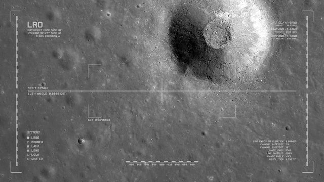
LRO imaging flyover: unnamed impact crater south of Dorsum Zirkel, Mare Imbrium. LAT 26.94 LONG 336.77. Clip loops. Reversible. Scientifically accurate HUD. Elements of this image furnished by NASA
00:40
HD
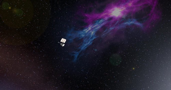
Long shot with lens effects and nebulae: the LRO spacecraft in orbit around Earth's Moon. Reversible, can be rotated 180 degrees. Elements of this image furnished by NASA.
00:29
HD
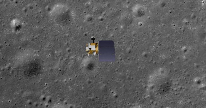
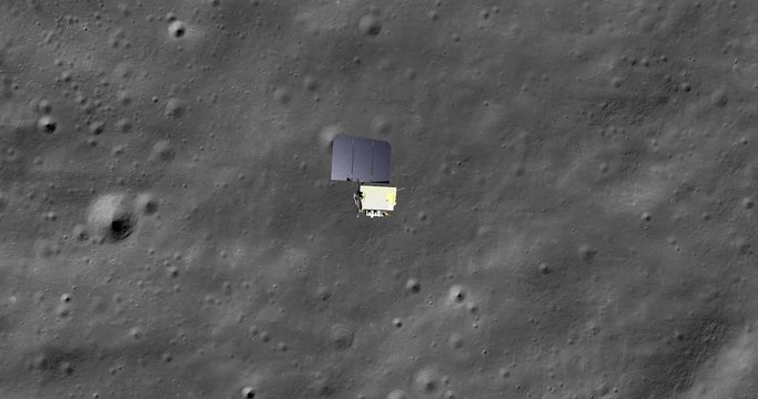
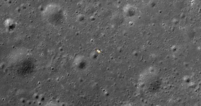
Top-down view, with snap zoom, of LRO positioning itself for a data gathering pass above cratered terrain, Mare Insularum. Elements of this image furnished by NASA
00:30
HD
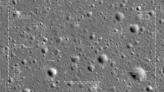
LRO imaging flyover: cratered terrain, Mare Insularum. LAT 18.63, LONG 331.8   . Clip loops and is reversible. Scientifically accurate HUD. Elements of this image furnished by NASA
00:40
HD
Top-down view of LRO positioning itself and then making a data gathering pass above cratered terrain, Mare Insularum. Elements of this image furnished by NASA
00:30
HD
Top-down view, with snap zoom, of LRO positioning itself for a data gathering pass above SE edge, Montes Carpatus range, Mare Insularum. Elements of this image furnished by NASA
00:30
HD
Flyby of Lunar Reconnaissance Orbiter spacecraft as it departs Earth and heads into space. Data: NASA/JPL.
00:16
HD
Top-down view of LRO positioning itself for a data gathering pass above new craters and ejecta, Mare Insularum. Elements of this image furnished by NASA
00:30
HD
Top-down view of LRO positioning itself for a data gathering pass above XTARGET. Elements of this image furnished by NASA
00:30
HD
LRO imaging flyover: edge of crater northwest of Montes Riphaeus. LAT -3.1 LONG -30.52. Clip loops and is reversible. Scientifically accurate HUD. Elements of this image furnished by NASA
00:40
HD
Long shot with lens effects and nebulae: the LRO spacecraft travelling through empty space . Reversible, can be rotated 180 degrees. Elements of this image furnished by NASA.
00:14
HD
Flyby of Lunar Reconnaissance Orbiter spacecraft on its final approach toward Earth's moon. Data: NASA/JPL.
00:16
HD
LRO imaging flyover: SE edge, Montes Carpatus range, Mare Insularum. LAT 13.28 LONG 328.84. Clip loops and is reversible. Scientifically accurate HUD. Elements of this image furnished by NASA
00:40
HD
LRO imaging flyover: fields of new craters and ejecta, Mare Insularum. LAT 13.61 LONG 325.61. Clip loops and is reversible. Scientifically accurate HUD. Elements of this image furnished by NASA
00:40
HD
Top-down view of LRO positioning itself for a data gathering pass above Harpalus Crater, Sinus Roris. Elements of this image furnished by NASA
00:30
HD
Top-down view of LRO positioning itself for a data gathering pass above Harpalus Crater, Sinus Roris. Elements of this image furnished by NASA
00:30
HD
LRO imaging flyover: foothills of the western Montes Jura range. LAT 44.51 LONG 323.7. Clip loops and is reversible. Scientifically accurate HUD. Elements of this image furnished by NASA
00:40
HD
Top-down view of LRO positioning itself and then making a data gathering pass above Harpalus Crater, Sinus Roris. Elements of this image furnished by NASA
00:30
HD
LRO imaging flyover: foothills meet plains, western Montes Jura range. LAT 44.51 LONG 323.7. Clip loops and is reversible. Scientifically accurate HUD. Elements of this image furnished by NASA
00:40
HD
Top-down view of LRO positioning itself for a data gathering pass above SE edge, Montes Carpatus range, Mare Insularum. Elements of this image furnished by NASA
00:30
HD
LRO imaging flyover: Harpalus Crater, Sinus Roris. LAT  53.02 LONG 316.27. Clip loops and is reversible. Scientifically accurate HUD. Elements of this image furnished by NASA
00:40
HD
Top-down view of LRO positioning itself and then making a data gathering pass above Harpalus Crater, Sinus Roris. Elements of this image furnished by NASA
00:30
HD
LRO imaging flyover: Harpalus Crater, Sinus Roris. LAT  53.02 LONG 316.27. Clip loops and is reversible. Scientifically accurate HUD. Elements of this image furnished by NASA
00:40
HD
Top-down view of LRO positioning itself and then making a data gathering pass above SE edge, Montes Carpatus range, Mare Insularum. Elements of this image furnished by NASA
00:30
HD
Top-down view of LRO positioning itself and then making a data gathering pass above floor of Moretus Crater, south polar highlands. Elements of this image furnished by NASA
00:30
HD
LRO imaging flyover: South polar terrain, near Casatus. LAT -75.45 LONG -18.08. Clip loops and is reversible. Scientifically accurate HUD. Elements of this image furnished by NASA
00:40
HD
Top-down view of LRO positioning itself for a data gathering pass above floor of Moretus Crater, south polar highlands. Elements of this image furnished by NASA
00:30
HD
Top-down view of LRO positioning itself and then making a data gathering pass above new craters and ejecta, Mare Insularum. Elements of this image furnished by NASA
00:30
HD
LRO imaging flyover: rolling terrain NNE of Chaplygin Crater. LAT -1.73 LONG 149.15. Clip loops and is reversible. Scientifically accurate HUD. Elements of this image furnished by NASA
00:40
HD
Top-down view, with snap zoom, of LRO positioning itself for a data gathering pass above new craters and ejecta, Mare Insularum. Elements of this image furnished by NASA
00:30
HD
Retimed, matrix-style flyby of Lunar Reconnaissance Orbiter spacecraft travelling through space. Data: NASA/JPL.
00:20
HD
LRO imaging flyover: south floor of Moretus Crater, south polar highlands. LAT -72.5 LONG 351.96. Clip loops and is reversible. Scientifically accurate HUD. Elements of this image furnished by NASA
00:40
HD
LRO imaging flyover: ridged terrain due south of Mairan Crater. LAT 38.43 LONG 316.64. Clip loops and is reversible. Scientifically accurate HUD. Elements of this image furnished by NASA
00:40
HD
Flyby of Lunar Reconnaissance Orbiter spacecraft as it travels through empty space. Data: NASA/JPL.
00:16
HD
Flyby of Lunar Reconnaissance Orbiter spacecraft travelling toward a distant Earth's moon. Data: NASA/JPL.
00:16
HD
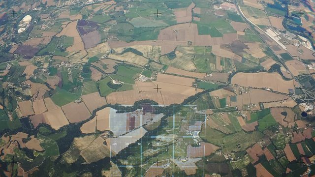
Earth surface scanned by orbital space sattelite
00:20
HD