Se ha enviado un vínculo para establecer tu contraseña a: Para acceder a tus compras en el futuro, necesitarás una contraseña.
Consigue 10 imágenes de archivo con una versión de prueba gratuita
Se han añadido nuevos filtros
Ordenar por

196 resultados para adrada en todos

Quizás quería decir en realidad: quadrad
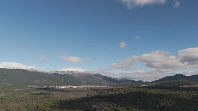
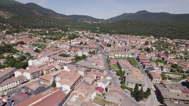
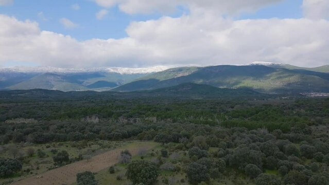
A frontal drone flight reveals the entrance to the Tiétar valley, with the town of Sotillo de la Adrada spread out along the foothills of the Central System under snowy peaks and clouds
00:26
Alta definición
Sotillo de la Adrada, Spain: Exploring countryside amid Sierra de Gredos - Aerial
00:23
Alta definición
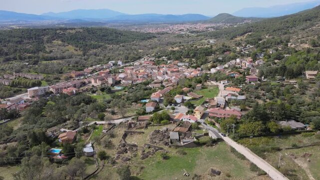
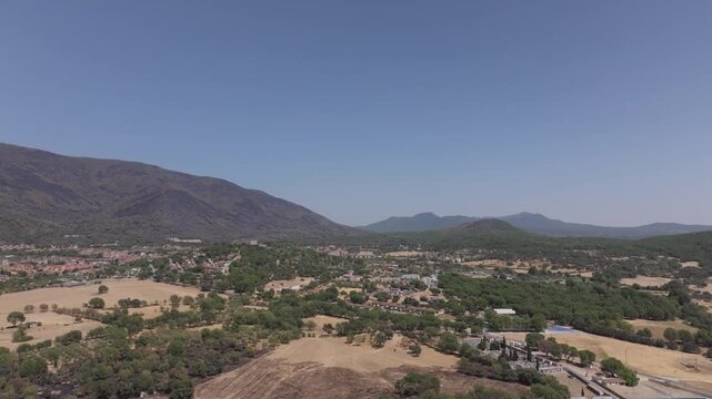
Frontal drone flight over the rural surroundings of Santa María del Tiétar. In the distance, the town of Sotillo de la Adrada appears surrounded by mountains, creating a scenic landscape view.
00:09
Alta definición
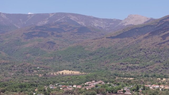
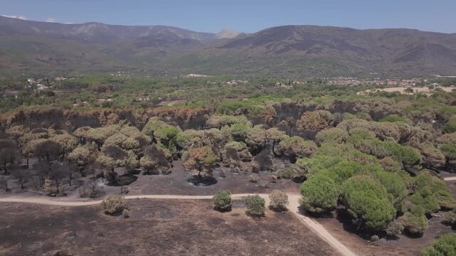
70mm drone ascent over the Central System mountains near La Adrada, revealing blackened and brown burned pine forests and houses that survived the wildfire in the lowlands.
00:09
Alta definición
Lateral drone flight along La Adrada, Ávila, revealing the wildfire boundary across a yellow meadow, surrounding areas that escaped the fire and burned mountains behind the village.
00:13
Alta definición
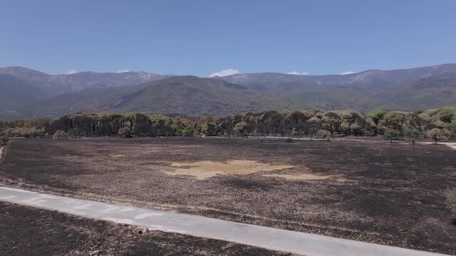
Drone ascent revealing a charred meadow, a road and a devastated pine forest across the blackened mountains near La Adrada, with scattered green patches of surviving vegetation.
00:25
Alta definición
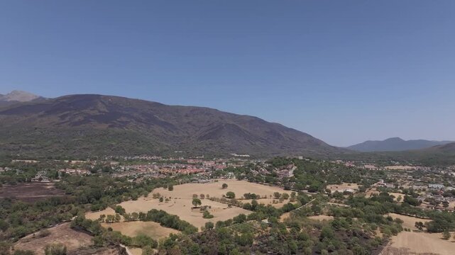
Orbital drone flight with a rightward turn from La Adrada to Piedralaves, Ávila, revealing burned mountain slopes and lowland meadows, some scorched by the wildfire.
00:39
Alta definición
Lateral 70mm drone footage of the Central System mountains near La Adrada, showing extensive blackened pine forests on the upper slopes and greener lowlands also affected by the wildfire.
00:34
Alta definición
Lateral drone flight along the edge of a burned pine forest, revealing a dirt track contrasting with the surrounding ash-covered ground, with the mountains of La Adrada in the background.
00:26
Alta definición
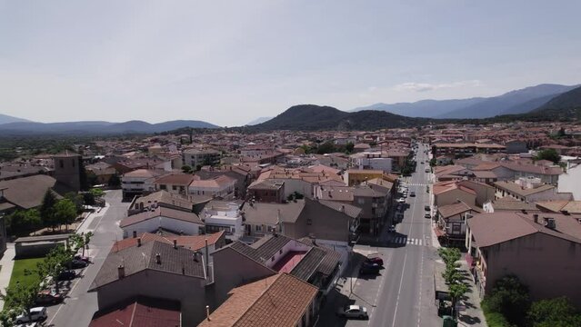
Aerial view of Sotillo de la Adrada cityscape in Spain
00:20
Alta definición
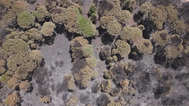
Top-down drone flight over a burned pine forest,revealing fire-damaged treetops before a scorched meadow appears alongside a winding dirt track in the fire-affected landscape near La Adrada,Spain
00:29
Alta definición
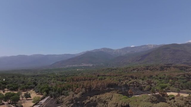
Frontal drone flight over the Tiétar Valley near La Adrada, showing the visible wildfire boundary, with green pine forest beside burned hillsides and the forests of Piedralaves in the distance.
00:20
Alta definición
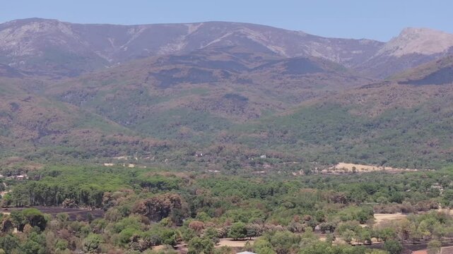
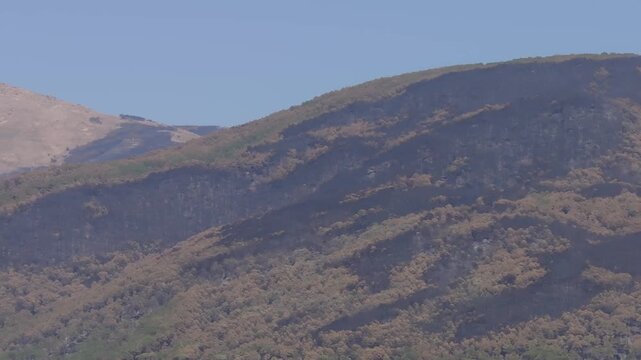
Telephoto drone footage at 167mm showing burned mountain forests near Sotillo de la Adrada and La Adrada, with blackened slopes, scorched tree crowns and small patches of surviving vegetation.
00:40
Alta definición
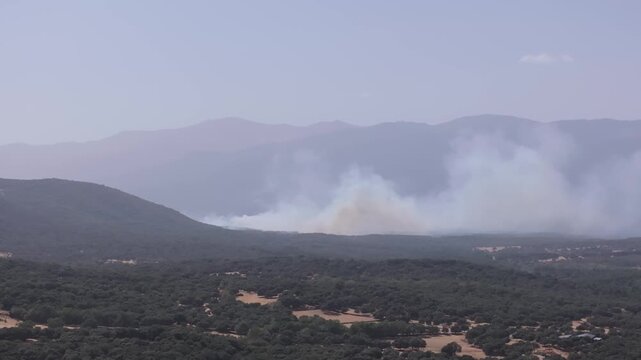
Drone footage (70mm format) of a wildfire near La Adrada, showing a large plume of smoke spreading to the right. We see the forests at risk.
00:13
Alta definición
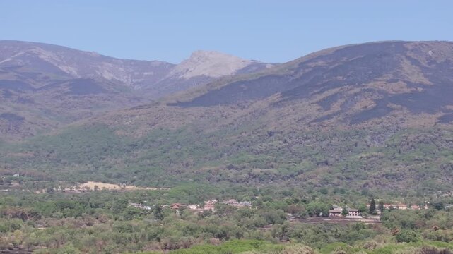
70mm drone footage revealing fire-scorched mountain forests near La Adrada, burned areas reaching homes and surviving green islands across the landscape.
00:27
Alta definición
I fly with a drone in the Sierra de Gredos, the snowy peaks, a sky with clouds and on the plain, a forest and the town of Sotillo de la Adrada, there is a poplar grove without leaves, Avila, Spain.
00:29
Alta definición