Se ha enviado un vínculo para establecer tu contraseña a: Para acceder a tus compras en el futuro, necesitarás una contraseña.
Consigue 3 vídeos o 25 imágenes con una versión de prueba gratuita
Se han añadido nuevos filtros
Ordenar por

689.033 resultados para navigation en vídeos

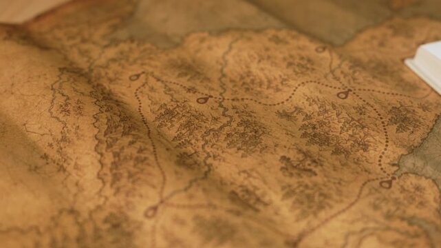
Vintage map showing travel route and exploration journey
00:09
Alta definición
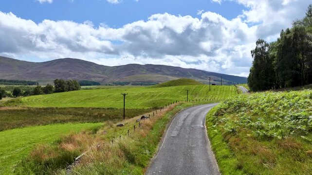
Driving Along a Winding Road in the Scottish Highlands
00:36
Alta definición
Aerial view of a canal winding through Jinxi, lined by traditional buildings with dark roofs and white walls, creating a picturesque scene, Jinxi, Jiangsu, China.
00:20
Alta definición
Online education boosts access to learning. Learn anytime through flexible platforms. Education technology transforms how we learn. Digital learning creates new education experiences worldwide. Elide
00:15
Alta definición
Busy Savannah Georgia Ports Authority Docks With Shipping Containers and Workers
00:28
Alta definición
Dynamic yellow arrow pointing downward.
00:08
Alta definición
A precisionguided drone hovering close to an assembly line equipped with advanced 5G circuitry for navigation and communication capturing detailed images of the production process below.
00:07
Alta definición
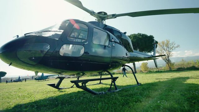
Dolly in shot of helicopter on private airfield against sunshine background, air vehicle for feeling flying experience, adrenaline and adventure concept
00:05
Alta definición
Map pointer icon set with pin for navigation and location markers on black background with alpha channel. Travel GPS location mark point animation.
00:10
Alta definición
Glowing red 3D chevron arrow pointing right on black background for motion graphics
00:10
Alta definición
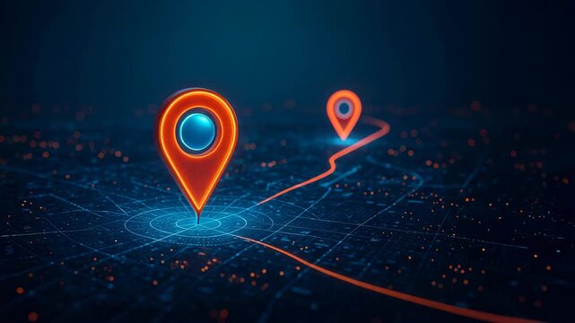
3D GPS Map Navigation Route Red Location Marker city map view featuring a navigation arrow following a route destination pin. for delivery apps, taxi services, travel vlogs, location-tracking concepts
00:20
Alta definición
Smart city traffic with digital icons for navigation and communication. Technology Related 3D Animation.
00:12
Alta definición
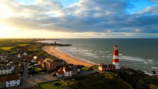
Breathtaking aerial view of a coastal town and its iconic red and white lighthouse standing guard over the sea at sunset.
00:08
Alta definición
Pigeon Soaring Against Ship Mast and Rigging Under Cloudy Sky in Anime Style
00:08
Alta definición
Chevron arrows animation with green neon Chevron arrows digital forward motion Chevron arrows technology direction graphic on black background for navigation
00:12
Alta definición
Glowing Roadmap Timeline Between 2026 to 2027 with Location Pin Marker neon white color on a black background, 4K video animation.
00:11
Alta definición
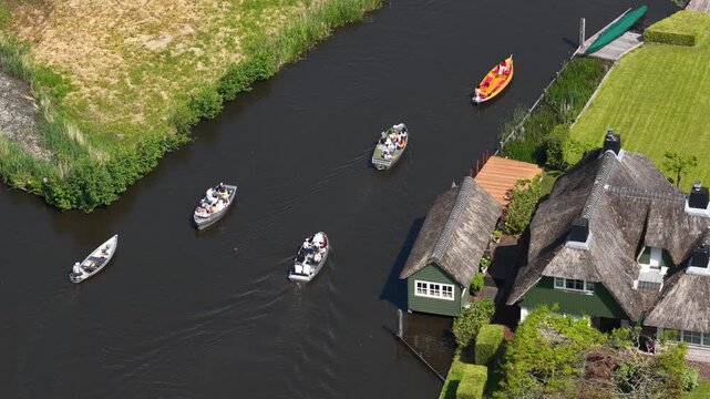
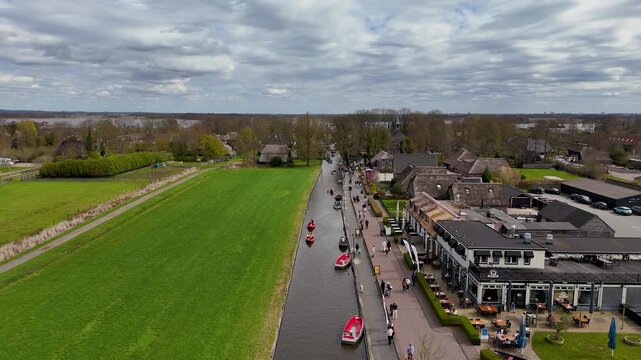
Tourists boating through giethoorn village canals from above
00:10
Alta definición
GPS navigation pointer showing destination on digital map route
00:10
Alta definición
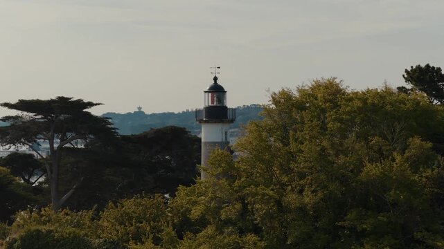
Drone view of Tristan Lighthouse surrounded by trees in Douarnenez, Brittany
00:11
Alta definición
Aerial drone shots of the water village of Giethoorn Overijsel Netherlands
00:28
Alta definición
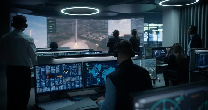
Monitoring Control Room. Aerospace Engineers Track Telemetry, Radar and Trajectory Data, Then Applaud Reusable Rockets Landing After Modern Launches for Satellite Delivery, Cargo and Science Missions.
00:14
Alta definición
Maritime Industry: Modern Cargo Ship for International Business
00:05
Alta definición
Map route icon with location pins, dotted travel path symbol, navigation journey graphic element.4k motion graphics video animation
00:10
Alta definición
Logistics coordinator planning route optimization on digital gps map interface using laptop. Concept of navigation tracking, fleet delivery, and smart transport location.
00:12
Alta definición
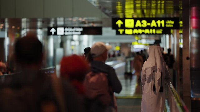
Cinematic Candid Shot of Travelers in a Modern Airport Terminal Corridors passing by Gate Signs
00:09
Alta definición
Map pointer on smartphone screen  local search, delivery tracking and travel planning concept
00:05
Alta definición
3D rendering of the aerial view of a city map with intersections, navigation lines, and running digit numbers, like a digital travel information hub for transport and technology concept
00:20
Alta definición
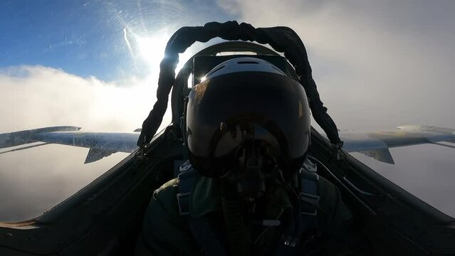
A pilot in a helmet inside the cockpit of a fighter
00:22
Alta definición
Multiple computer monitors and control panels are illuminating the bridge of a ship sailing at night, providing real time information for safe navigation on the open sea
00:06
Alta definición
Close up of hands using computer mouse and keyboard on desk in office
00:05
Alta definición
Futuristic Dark Route Navigation Display Night mode GPS navigation map with glowing route line. mobile navigation visuals, smart city presentations, travel apps, or digital mapping technology themes.
00:20
Alta definición
Animated dashed route line leading to map pin location on white background. Travel path symbol navigation journey graphic element 4k video animation.
00:10
Alta definición
Woman Using Computer with Virtual File Management Interface and Digital Organizational Tools for Document Handling and Workflow Efficiency Sigmoid
00:10
Alta definición
Minimalist Green Screen Box Swipe UI Carousel Motion Graphics Animation Loop
00:06
Alta definición
GPS location pointer animated with radio wave, location pointer, pin icon on black background.
00:10
Alta definición
Abstract digital radar screen display with scanning beam sonar signal Motion Graphic for technology interface concepts and navigation systems
00:07
Alta definición
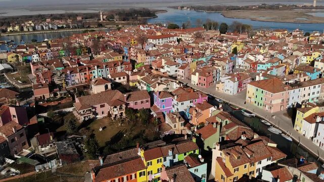
Aerial view of the colorful houses and rooftops of Burano island in the Venetian lagoon, Venice, Veneto, Italy.
00:19
Alta definición
Map pointer icon set with pin symbols for navigation and location markers. ideal for map applications, travel content, or navigation projects..4k video
00:13
Alta definición
Close-up view of two  white pilots doing routine labors in a modern cockpit jet. Real time flight. Camera between both pilots. Daylight. 4K 60FPS.
00:11
Alta definición
Aerial view of The Falkirk Wheel,  tourist attraction in Falkirk, Scotland. Rotating boat lift connecting the Forth and Clyde Canal with the Union Canal with ships and boats.
00:21
Alta definición
mouse pointer hand cursor click animation with sparkle burst effect on green screen, mouse click press with highlight rays, user interface click indicator overlay for web tutorials and app demos
00:08
Alta definición
Large industrial oil tanker ship sailing across the deep blue ocean water from aerial view perspective
00:08
Alta definición
Glowing Five-Step Progress Path with Animated Milestones
00:10
Alta definición
First-person view of drone interceptor tracking hostile UAV drone above forest
00:16
Alta definición
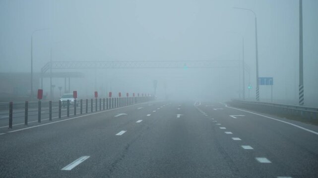
Driving through dense fog on multi lane highway with very low visibility, road markings and traffic lights fading in mist, hazardous weather and road safety concept.
00:16
Alta definición
Male pilot wearing a captain hat and sunglasses talking with two female flight attendants inside the luxury cabin of a private airplane before departure, discussing the upcoming flight plan
00:13
Alta definición
A fighter jet on the tarmac with a powerful stance, its engine turbines gleaming, while a pilot in full gear heads toward the cockpit for a flight into the skies.
00:10
Alta definición
Animated digital map featuring interconnected location pins, symbolizing global network connectivity and geographic information technology. Animation concept of geolocation maps for business.
00:10
Alta definición
Ship captain operating a modern radar and gps navigation system inside control room bridge of a large vessel, ensuring safe passage and efficient maritime operations
00:06
Alta definición
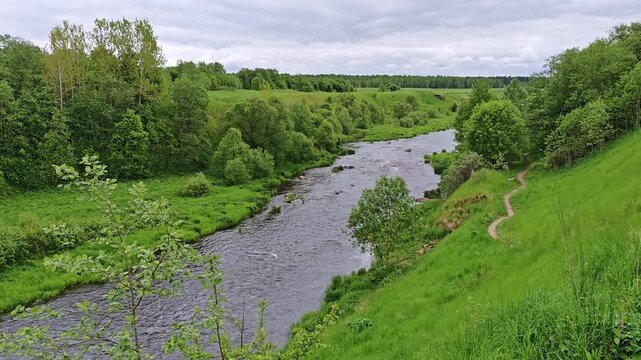
Winding river through a green valley with a footpath along the bank, nature escape, exploration, eco tourism, mindful travel.
00:15
Alta definición
location pin animation, map marker icon, navigation pointer effect, gps tracking overlay, alpha channel background
00:10
Alta definición
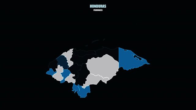
Glowing Honduras Regions Assemble into Country Shape on World Map
00:08
Alta definición
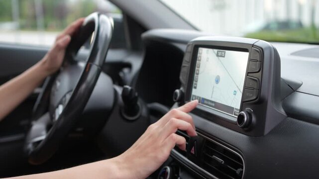
Close up of woman using the navigation system and touchscreen controls inside a car
00:31
Alta definición
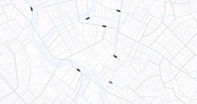
Glowing digital city map interface showing moving navigation routes and traffic data
00:20
Alta definición
A digital navigation display is shown from the driver's perspective as they navigate a busy city street at night. The dashboard is visible with lights from other cars in the background.
00:08
Alta definición
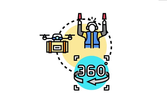
Air traffic controller directing drone flight operations, modern aviation management, comprehensive waypoint coordination, and 360 degree control systems for unmanned aerial vehicles
00:17
Alta definición
Aerial front view of a big cargo container carrier ship sailing over the ocean during sunset time
00:10
Alta definición
Female pilot instructor training aviation technicians in an aircraft hangar
00:11
Alta definición
Search and rescue team drone pilot fly industrial aircraft, Czechia
00:09
Alta definición
Aerial view of suburban neighborhood with digital map location pins for real estate and property search concepts
00:08
Alta definición
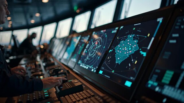
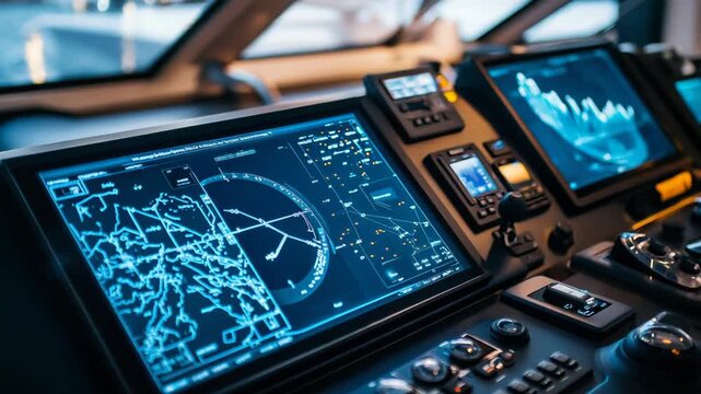
Ship bridge with multiple digital screens and control panels for advanced marine navigation, radar, electronic charting and autopilot systems guiding vessels across open sea
00:05
Alta definición
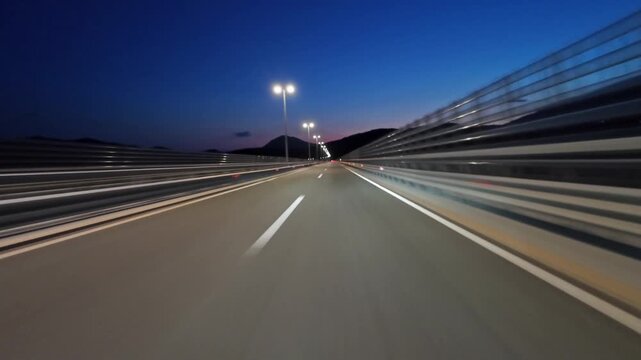
POV driving on modern highway with bright lights illuminating the road at night. Transportation, travel and infrastructure concept, 4k
00:34
Alta definición
Futuristic digital hud interface for autopilot navigation system
00:10
Alta definición
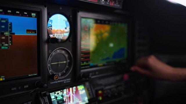
Pilot operating gps navigation system in airplane cockpit
00:20
Alta definición
White line animated white dotted arrows on Transparent Background. Alpha channel
00:07
Alta definición
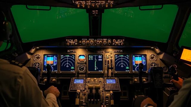
Inside a Boeing 737 cockpit at night, showcasing advanced avionics and navigation systems,A pilot's point of view in a modern airplane simulator with detailed instruments and controls
00:07
Alta definición
Digital concept of file management on a laptop keyboard, showcasing organization, data flow, and document storage in a modern workspace environment Gluon.
00:10
Alta definición
Pilots working together seamlessly in a cockpit during flight, illustrating the concepts of teamwork, concentration, and dedicated focus vital for successful aviation operations and safety
00:10
Alta definición
Minimalist red arrow pointing rightwards animation isolated on white background for video transition navigation next page and motion graphics.
00:10
Alta definición
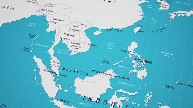
map of the worldAnimated Map of Southeast Asia Region, Geography Background
00:20
Alta definición
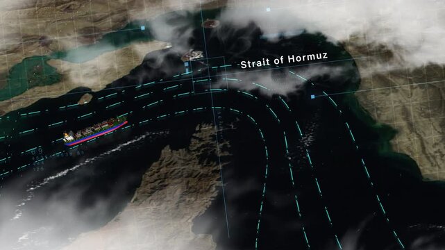
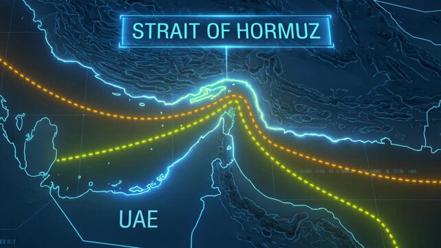
Strait of Hormuz with digital navigation lines and satellite map overlay, representing global energy transport, maritime logistics, and strategic shipping routes.
00:20
Alta definición
4K UHD Animated city map with location pins and navigation routes. Modern GPS tracking concept for smart city
00:20
Alta definición
Empty Winding Mountain Road Through Forest with Signs, Video Recorded in 4K 24fps
00:10
Alta definición
White navigation path with arrow and destination marker. GPS location signal point and location tracking mark, location pointer icon animated 4k video.
00:10
Alta definición
Airplane Cockpit for Aviation Pilot and Plane Navigation of Pilotage. Aviators Studying Computer Equipment for Piloting Flying Aeroplane of Flight Cabin. Communication of Men Working in Fly Industry
00:09
Alta definición
Smart city network with glowing digital streets and buildings
00:05
Alta definición
Digital Navigation: A person's hand delicately cradles a smartphone, the screen alight with a digital map pinpointing a location, offering insights into navigation and exploration.
00:10
Alta definición
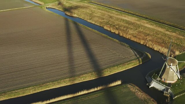
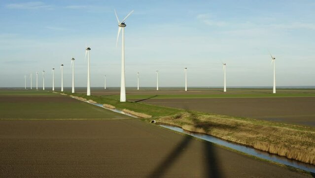
Wind turbines and windmill in field, Eemshaven, Netherlands
00:28
Alta definición
A minimalist motion graphic animation depicting user profile grids popping up to form a virtual meeting user interface screen layout, complete with a bottom navigation control bar on a black backgroun
00:08
Alta definición
Tropical seascape from boat in Jellyfish Sanctuary Philippines
00:20
Alta definición
Strait of Hormuz Blockade and Oil Shipping Route Disruption in Persian Gulf
00:15
Alta definición
Animated location pin icon on black background, map pointer gps navigation loop.
00:10
Alta definición
Looped Sci-fi HUD robot visor overlay with crosshair, GPS coordinates and telemetry, drone POV interface with active scanning on a black background for Screen mode overlay.
00:15
Alta definición
Whale sharks and pilot fish swimming in clear blue ocean water
00:08
Alta definición
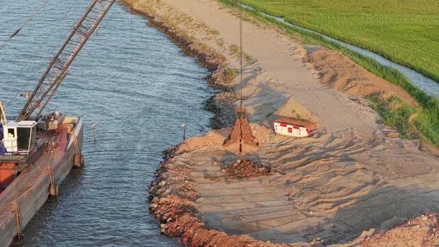
Barge crane removing rocks for dike reinforcement project
00:20
Alta definición
Radar scanning animation with rotating detection signal interface. Modern radar scanning system for surveillance monitoring and tracking. Digital radar scanning interface for navigation
00:11
Alta definición
GPS Navigation Route Map Interface Digital map route tracking screen with highlighted path and marker. navigation systems, transport visuals, delivery tracking videos, location technology backgrounds.
00:20
Alta definición
Ocean topographic map with depth markings, dark blue background
00:30
Alta definición
A skilled pilot maneuvers a fighter jet through the sky, showcasing stunning views of the landscape below. Clouds drift by as the aircraft soars, highlighting the thrill of flight
00:10
Alta definición
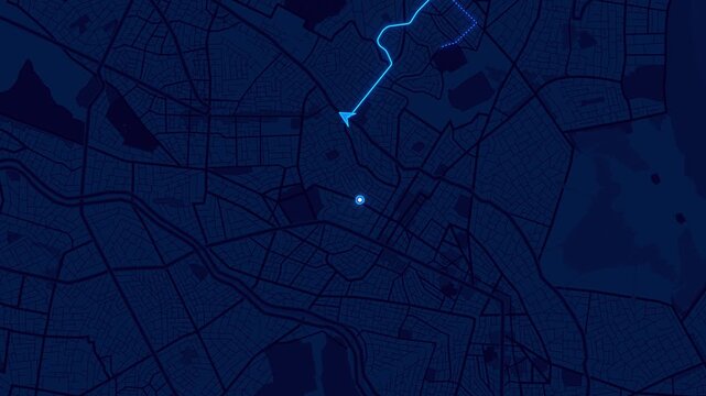
Electric blue navigation route animated across a dark road network with glowing pulse marker and dynamic path tracing. Ideal for GPS, logistics, transportation, mobility, and mapping technology.
00:20
Alta definición
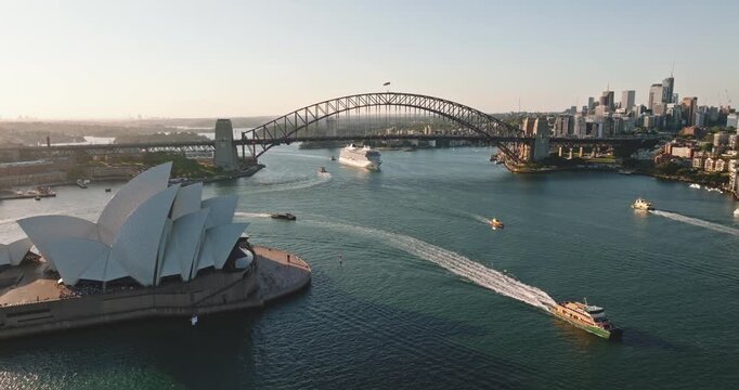
Sydney cityscape featuring Opera House and iconic Harbor Bridge spanning the busy harbor with cruise ship and ferries navigating the water during a warm summer day, illustrating travel and tourism
00:10
Alta definición
Pilot and engineer discussing flight plan on laptop in hangar
00:25
Alta definición
Geared bulk carrier with rusty weathered hull underway on open sea, aerial stern view at golden hour and bow quarter view in morning light, cargo cranes and stern wake visible
00:23
Alta definición
Seamless looping 4k time-lapse virtual video of close-up detailed compass with golden needle representing navigation and direction in exploration and travel
00:05
Alta definición
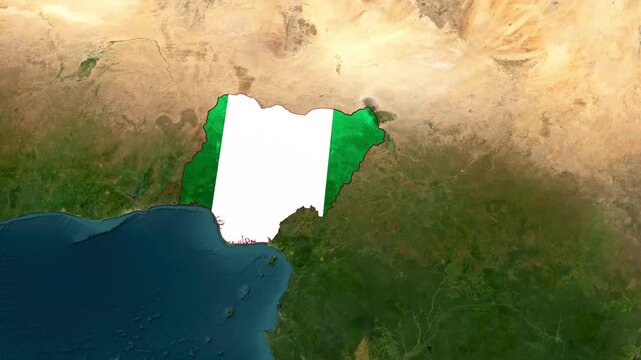
Nigeria Highlighted on World Satellite Map Animation with Country Border and Geographic Location
00:14
Alta definición
Map pointer icon set with pin symbols for navigation and location markers,on a black background,Tourism and travel concept animation.
00:10
Alta definición
pin location icon red road map pointer icon for navigation and location pin markers with signal trace animation, animated GPS map location pin. Pop up animation searching location trace
00:13
Alta definición
Wind turbines n field, Eemshaven, Netherlands
00:20
Alta definición
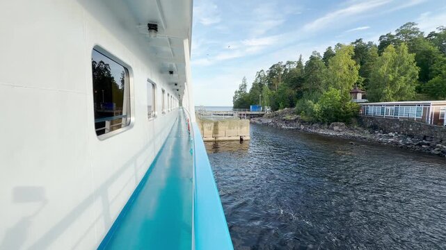
A cruise ship deck navigates along a scenic pier at Valaam, Lake Ladoga. This peaceful journey brings calm and happy feelings during a wonderful vacation.
00:20
Alta definición
GPS location pin icon animation with map marker and navigation pointer on black background.
00:10
Alta definición