Se ha enviado un vínculo para establecer tu contraseña a: Para acceder a tus compras en el futuro, necesitarás una contraseña.
Consigue 3 vídeos o 25 imágenes con una versión de prueba gratuita
Se han añadido nuevos filtros
Ordenar por

48 resultados para map of thuringia en vídeos


Querías decir: map of charango
Thuringen - state of Germany with its capital zoomed on the physical map of the globe. Animation 3D
00:06
Alta definición
Thuringia federal state blinking red highlighted in map of Germany
00:10
Alta definición
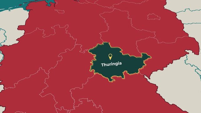
Thuringia highlighted on a map of Germany
00:12
Alta definición
Motion Graphics Animated Map of Germany Forming - Blue
00:15
Alta definición
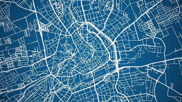
Ink reveal animation of Erfurt city, state of Thuringia, Germany, grid map. Aerial top view. Blueprint style. White lines with blue background. 4K Seamless loop.
00:12
Alta definición
Animated map of Thuringia, Germany, highlighting the federal state boundary and location within Germany. Useful for geography, education, regional analysis, news, documentary and European content
00:15
Alta definición
Location Thuringia on map Germany. 3d Free State of Thuringia flag map marker location pin. Map of Germany  showing different states. Animated map Lands  of Germany. 4K.  Video
00:06
Alta definición
Map of Thuringia - Germany | 3D Rain of little bricks
00:10
Alta definición
Animated Map of Thuringia Region Highlighted Within German with State Borders
00:09
Alta definición
Map of Germany in blue-green colors, top view. Formed by separate areas falling from top to bottom against a white background.
00:12
Alta definición
Deutschland
00:12
Alta definición
Coronavirus - Deutschlandkarte - 16 Bundesländer - Fallzahlen - Deutschland - COVID-19 - Karte
00:20
Alta definición
Sketch Thuringen outline map animation - smooth progressive reveal
00:06
Alta definición
Thuringen region, Germany, extruded. Map animation
00:07
Alta definición
deutschland
00:08
Alta definición
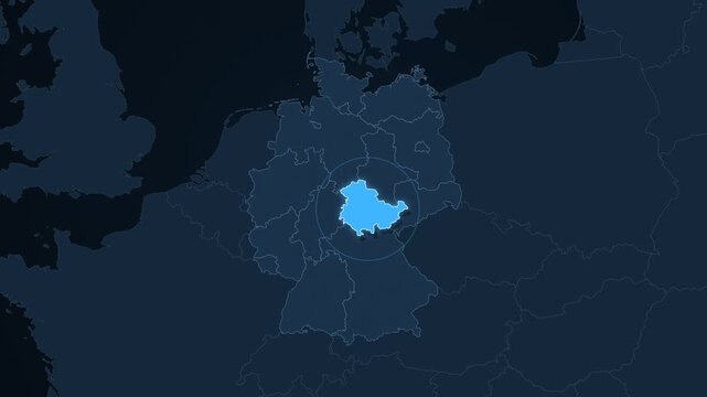
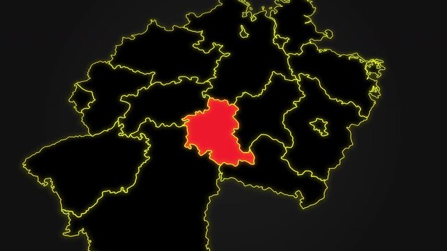
Animated glowing map of Thuringia, Germany, with a highlighted outline on a dark gray gradient background, ideal for geography, travel, news, and infographic projects.
00:08
Alta definición
Animated Zoom from Space to Erfurt Germany on Earth Globe
00:20
Alta definición
Direct Top-Down Drone Flyover of Dense Green Woodland in central Germany: Slow, straight-ahead aerial drone shot top-down flying directly above a dense, lush green deciduous forest canopy
00:57
Alta definición
Thuringia Map Video, Germany map, Political Map of Germany, national flag and borders, perfect for presentations, travel, education, geography, and global studies.
00:20
Alta definición
Germany and its states. Camera panning and zooming in on the state Thuringia (Thüringen) covered according to official flag.
00:07
Alta definición
Thüringen, state with its capital, zoomed and extruded on the relief map of Germany in the conformal Stereographic projection. Animation 3D
00:08
Alta definición
Thuringia map drawn on a cartography background sheet of paper
00:10
Alta definición
Deutschlandkarte
00:12
Alta definición
Germany Map. Map of Germany With Text. Animated 4k German Map. European. Slo-mo German Map and Flag Waving. European Travel. Berlin. Frankfurt. Hamberg. Munich.
00:20
Alta definición
Motion Graphics Animated Map of Germany Forming - White
00:15
Alta definición
Thüringen, state of Germany, with its capital, localized, outlined and zoomed with informative overlays on a solid patterned map in the Stereographic projection. Animation 3D
00:09
Alta definición
birds eye view of a road in Hesse germany between the green hills and a river
00:12
Alta definición
Thuringen - state of Germany with its capital zoomed on the satellite map of the globe. Animation 3D
00:06
Alta definición
Thuringen - state of Germany with its capital zoomed on the administrative map of the globe. Animation 3D
00:06
Alta definición
Coronavirus - Deutschlandkarte - 16 Bundesländer - Fallzahlen - Deutschland - COVID-19 - Karte
00:20
Alta definición
Coronavirus - Deutschlandkarte - 16 Bundesländer - Fallzahlen - Deutschland - COVID-19 - Karte
00:20
Alta definición
Thüringen, state of Germany, with its capital, localized, outlined and zoomed with informative overlays on a administrative map in the Stereographic projection. Animation 3D
00:09
Alta definición
Region of Thuringia - Germany | 3d Rendering, mosaic of little bricks - White and flag colors. A number of 5019 little boxes are accurately inserted into the mosaic. Flag colors
00:14
Alta definición
Thüringen, state of Germany, with its capital, localized, outlined and zoomed with informative overlays on a relief map in the Stereographic projection. Animation 3D
00:09
Alta definición
Thüringen, state of Germany, with its capital, localized, outlined and zoomed with informative overlays on a bilevel map in the Stereographic projection. Animation 3D
00:09
Alta definición
Thuringen - Germany, state extruded. Bumps
00:12
Alta definición
Thüringen, state with its capital, zoomed and extruded on the bilevel map of Germany in the conformal Stereographic projection. Animation 3D
00:08
Alta definición
Thüringen, state with its capital, zoomed and extruded on the satellite map of Germany in the conformal Stereographic projection. Animation 3D
00:08
Alta definición
Thüringen, state with its capital, zoomed and extruded on the administrative map of Germany in the conformal Stereographic projection. Animation 3D
00:08
Alta definición
Thuringen - Germany, state extruded. Bumps shaded
00:12
Alta definición
Thüringen, state of Germany, with its capital, localized, outlined and zoomed with informative overlays on a satellite map in the Stereographic projection. Animation 3D
00:09
Alta definición
Coronavirus - Deutschlandkarte - 16 Bundesländer - Fallzahlen - Deutschland - COVID-19 - Karte
00:20
Alta definición
Thuringen - Germany, state extruded. Solids
00:12
Alta definición
Germany On flag. Map Of Germany. German Flag. Animated 4k German Flag Map. European Flag. Slo-mo Map And Flag Waving. Berlin. Frankfurt. Hamburg. Munich. Cologne.
00:20
Alta definición
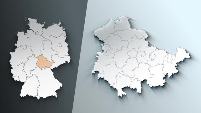
Thuringia Germany federal state map outline animation
00:07
Alta definición
Coronavirus - Deutschlandkarte - 16 Bundesländer - Fallzahlen - Deutschland - COVID-19 - Karte
00:20
Alta definición
Coronavirus - Deutschlandkarte - 16 Bundesländer - Fallzahlen - Deutschland - COVID-19 - Karte
00:20
Alta definición
Coronavirus - Deutschlandkarte - 16 Bundesländer - Fallzahlen - Deutschland - COVID-19 - Karte
00:20
Alta definición