Se ha enviado un vínculo para establecer tu contraseña a: Para acceder a tus compras en el futuro, necesitarás una contraseña.
kosoff

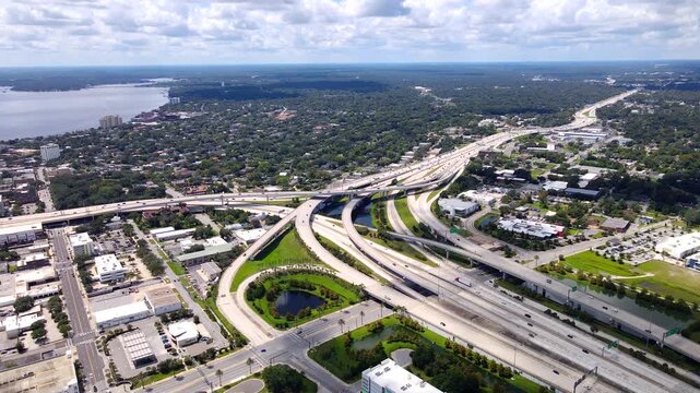
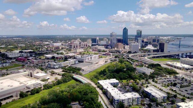
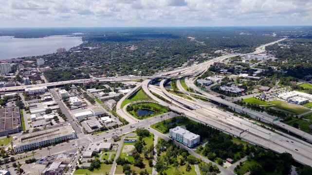
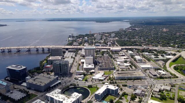
Highway interchange and surrounding Jacksonville neighborhoods appear in panoramic 4K drone video
00:28
Alta definición
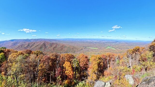
Orange treetops give way to distant valley fields during a rising Shenandoah panorama.
00:10
Alta definición
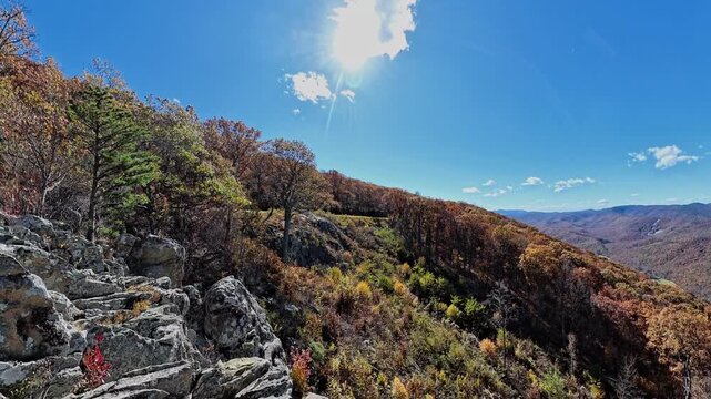
Textured stone ledges frame distant Virginia mountains above orange and green forest.
00:12
Alta definición
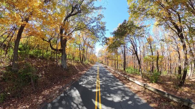
camera moves upward from close centerlines toward the forest road and guardrail.
00:12
Alta definición
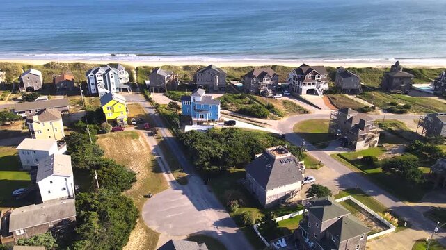
Coastal houses and residential streets spread below a retreating drone in the Outer Banks.
00:18
Alta definición
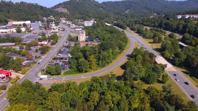
A curved ramp connects roadside development with a divided Asheville highway.
00:17
Alta definición
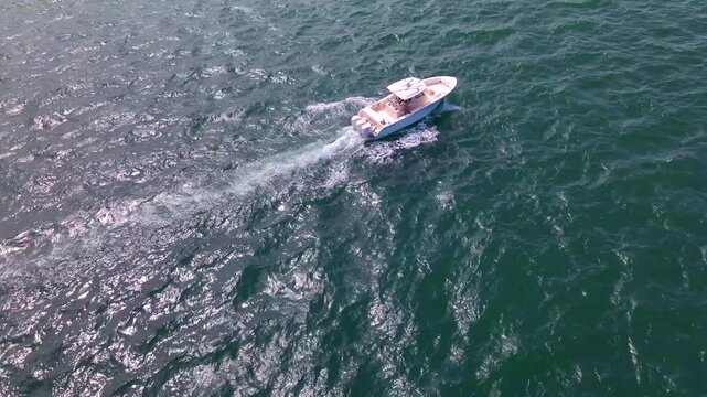
Aerial rear tracking view follows a white boat leaving a narrow foamy wake.
00:21
Alta definición
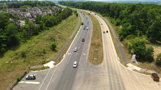
Aerial video shows vehicles approaching a suburban road junction near Leesburg Virginia.
00:18
Alta definición
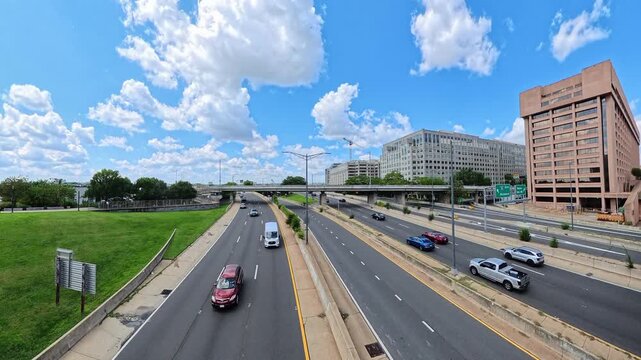
Office buildings border divided road lanes carrying cars through the Washington urban landscape.
00:14
Alta definición
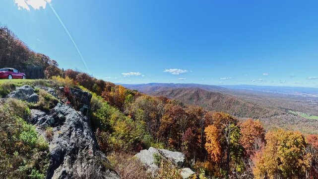
roadside rock outcrop gives way to a broad autumn valley in Shenandoah.
00:12
Alta definición
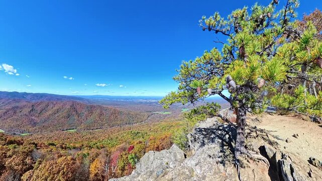
 pine tree rises from a rocky ledge above Shenandoah autumn valleys.
00:14
Alta definición
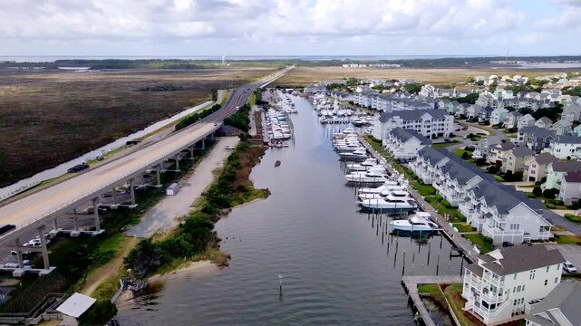
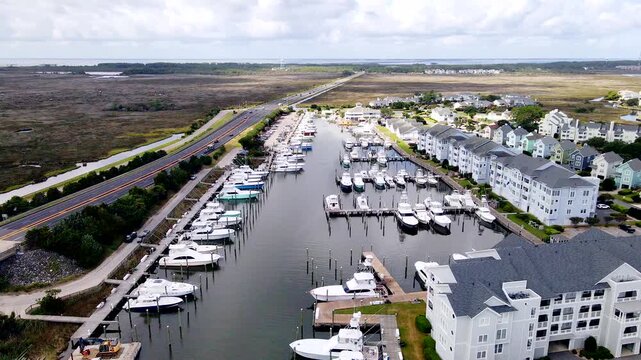
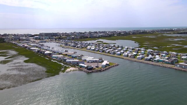
A marina basin stretches between the coastal road and rows of waterfront homes.
00:29
Alta definición
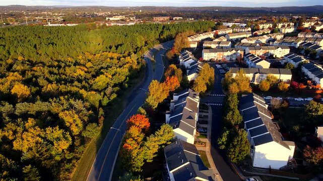
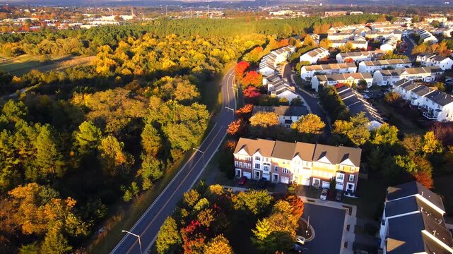
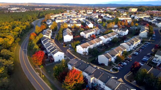
Townhouse rows border a curved road beside yellow woodland in aerial video in Virginia.
00:20
Alta definición
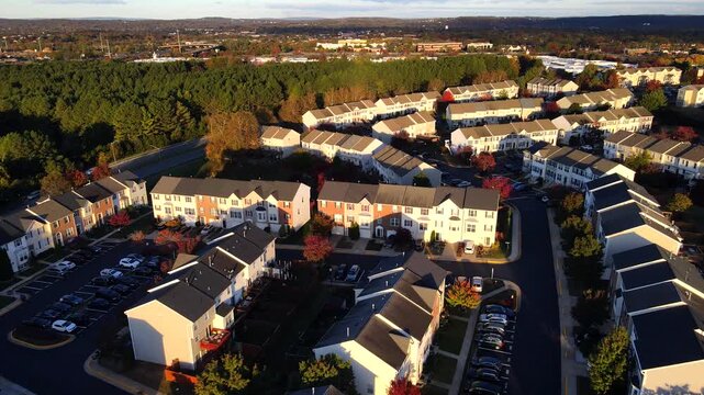
Parked cars line residential streets between townhouse rows in aerial autumn video in Virginia.
00:28
Alta definición
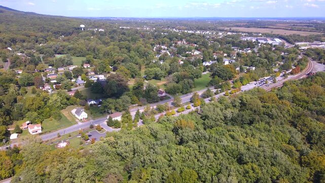
Leesburg, Virginia townhouses border colorful woodland beside a curving road in aerial video.
00:14
Alta definición
Townhouse rows surround parking spaces and residential streets in aerial autumn video in Virginia.
00:19
Alta definición
An aerial view follows urban development toward the skyline of Jacksonville.
00:24
Alta definición
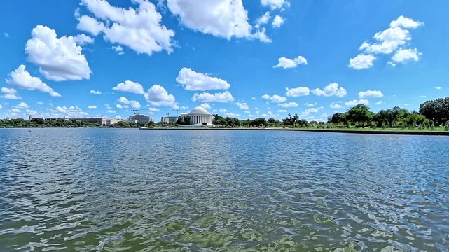
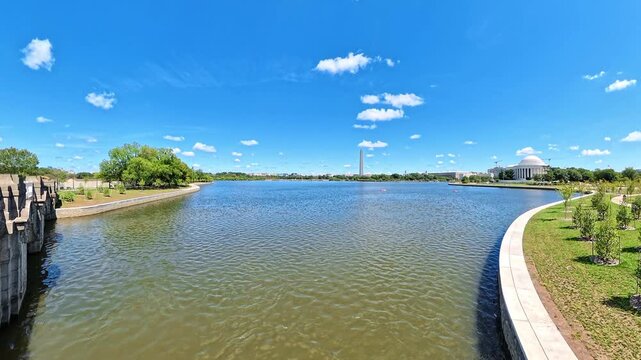
Jefferson Memorial stands across rippling Tidal Basin water beneath large white clouds.
00:17
Alta definición
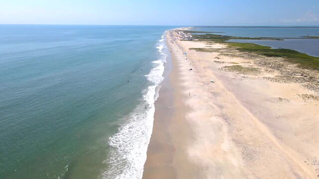
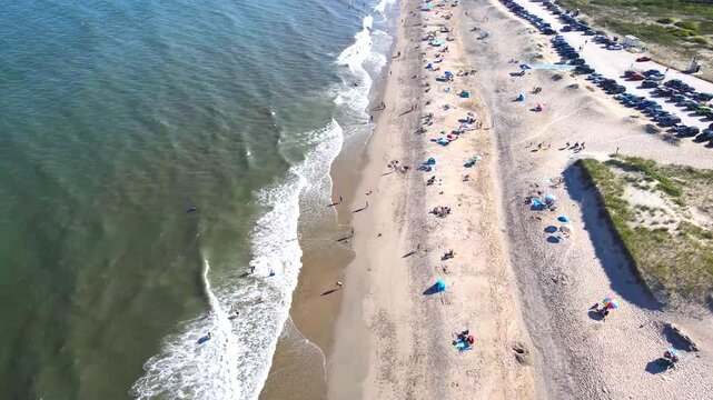
drone follows ocean surf toward a busier stretch of the sandy beach.
00:19
Alta definición
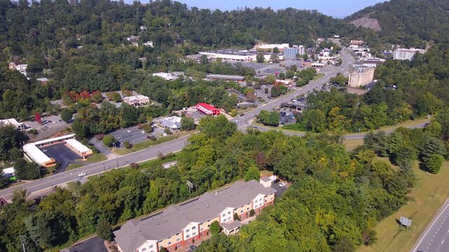
Aerial video follows a road past parking and buildings around Asheville.
00:17
Alta definición
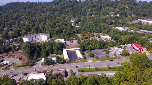
Roadside buildings and parking areas line a road beneath Asheville hills.
00:19
Alta definición
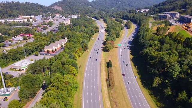
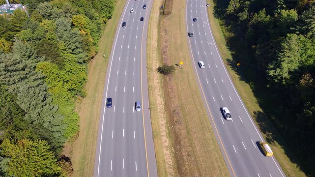
Highway traffic passes a grassy median beneath wooded hills near Asheville.
00:09
Alta definición
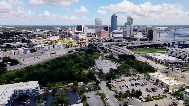
Office towers dominate Jacksonville downtown above curving bridge ramps and buildings.
00:26
Alta definición
Aerial video surveys Jacksonville riverfront development beside a wide river crossing.
00:27
Alta definición
Elevated highway ramps curve between urban buildings beside the Jacksonville riverfront.
00:22
Alta definición
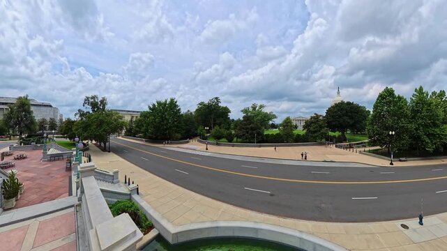
Stone paving and balustrades frame a rightward street panorama near the United States Capitol.
00:16
Alta definición
rising waterfront view reveals Washington Monument and Jefferson Memorial beyond basin ripples.
00:17
Alta definición
drone advances along beach recreation areas near Chincoteague with surf on the left.
00:29
Alta definición
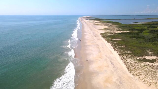
 long beach reaches toward the horizon beside open ocean near Chincoteague.
00:10
Alta definición
The camera tilts downward toward cars on a divided Asheville highway.
00:14
Alta definición
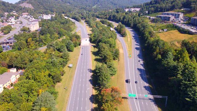
Traffic follows a divided highway between wooded hills and Asheville buildings.
00:21
Alta definición
Residential neighborhoods surround a busy road beneath forested hills near Asheville.
00:15
Alta definición
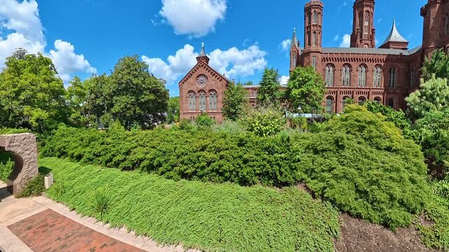
Camera tilts upward from garden groundcover toward the Smithsonian Castle facade in Washington.
00:11
Alta definición
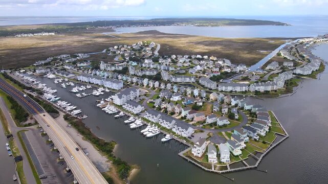
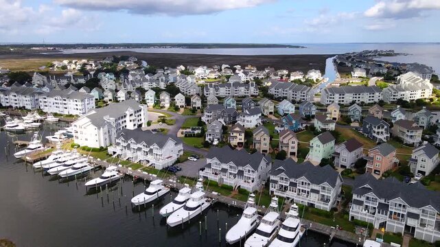
A coastal neighborhood fills the view between yacht berths and narrow residential canals.
00:18
Alta definición
Rows of yacht berths line both shores of Pirate's Cove Marina near Manteo.
00:29
Alta definición
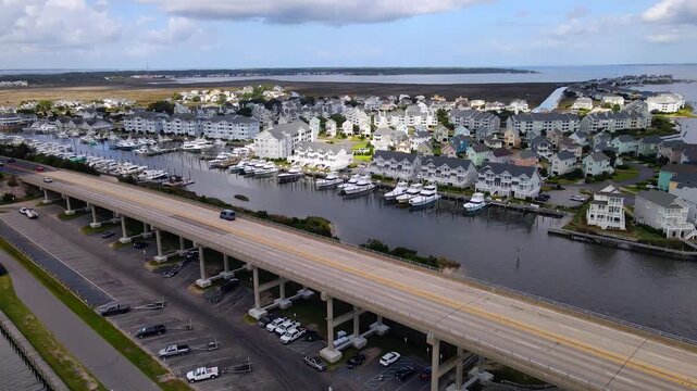
A backward flight reveals a coastal bridge below the marina and residential waterfront.
00:29
Alta definición
Cars cross an elevated bridge beside moored yachts and waterfront housing near Manteo.
00:28
Alta definición
A narrow canal leads between compact homes surrounded by patches of coastal marsh.
00:15
Alta definición
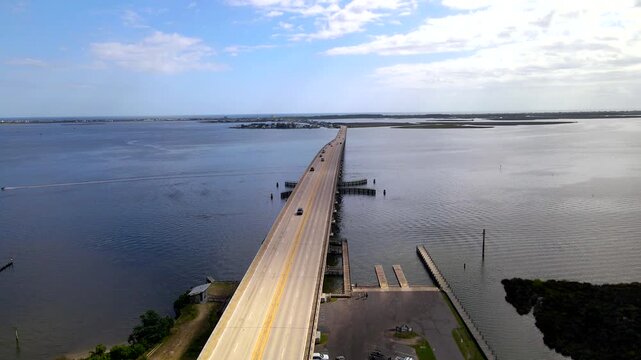
A coastal bridge carries cars across open water beside a shoreline boat ramp.
00:08
Alta definición
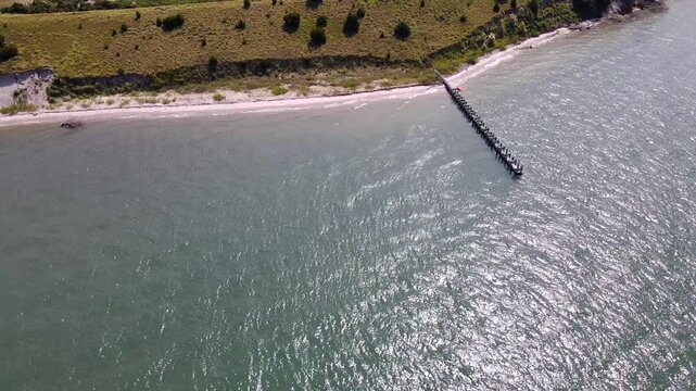
A narrow jetty extends from the Radio Island beach into sunlit coastal water.
00:14
Alta definición
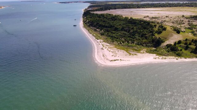
Pale beach sand curves around the island tip beside rippled shallow water.
00:22
Alta definición
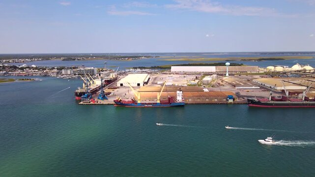
Motorboats leave white wakes across the water beside docked Morehead City cargo ships.
00:15
Alta definición
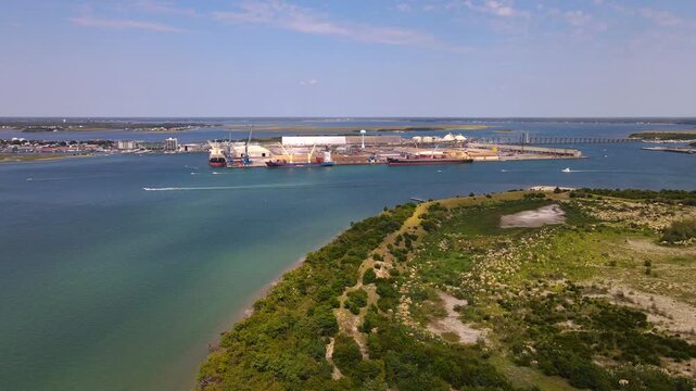
Cargo ships and waterfront warehouses approach beyond the green tip of Radio Island.
00:26
Alta definición
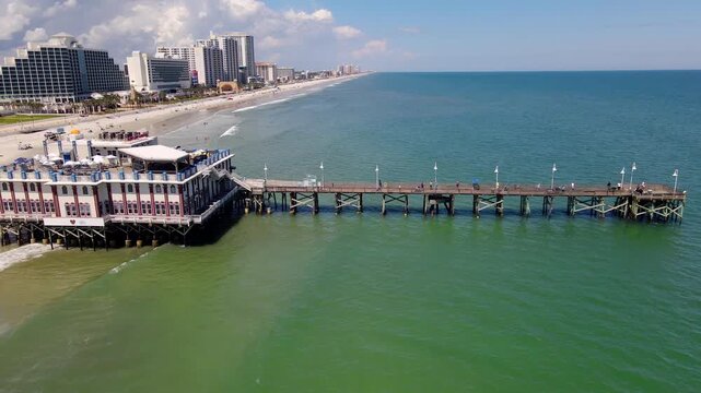
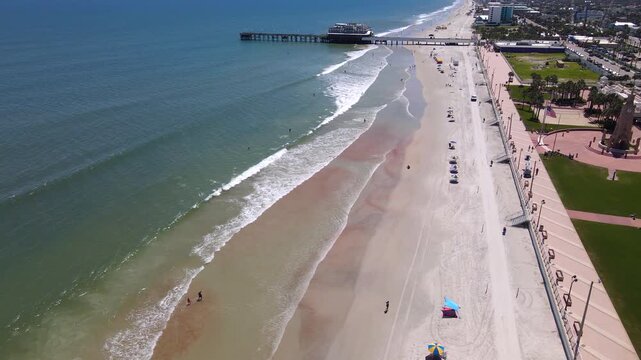
An aerial flight reveals the pier walkway connecting Daytona Beach sand and ocean.
00:27
Alta definición
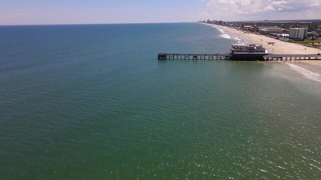
An aerial flight approaches the pier above coastal water in Daytona Beach.
00:28
Alta definición
Stairs connect the promenade with the sandy beach beside Daytona Beach ocean waves.
00:23
Alta definición
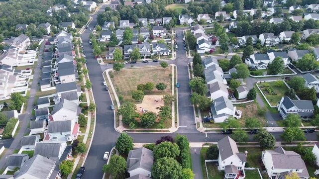
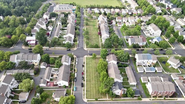
Housing rows surround a rectangular green space viewed from above in suburban Leesburg.
00:22
Alta definición
Rectangular lawns separate townhouse rows in a Leesburg Virginia neighborhood viewed from above.
00:21
Alta definición
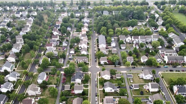
Leesburg homes border a long straight street surrounded by lawns and mature trees.
00:20
Alta definición