Se ha enviado un vínculo para establecer tu contraseña a: Para acceder a tus compras en el futuro, necesitarás una contraseña.
Consigue 3 vídeos o 25 imágenes con una versión de prueba gratuita
Se han añadido nuevos filtros
Ordenar por

224.099 resultados para state map en vídeos

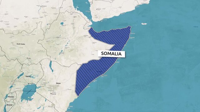
Borders of the state of Somalia on the map. Country Somalia on the map is highlighted by a polygonal border. Map animation. From above zooming in with panoramic view
00:15
Alta definición
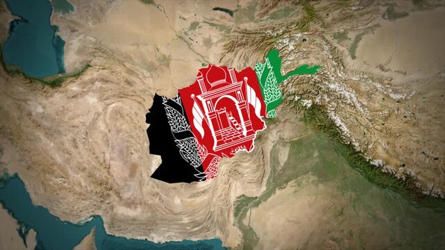
Afghanistan Map With Old Flag Colors Overlay Animation, Afghanistan Location Map, Asia Country Map
00:12
Alta definición
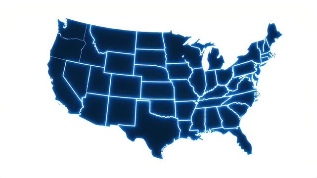
Glowing map of the United States with illuminated state borders on a clean white background.
00:08
Alta definición
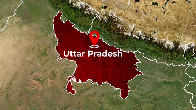
Uttar Pradesh India map animation in 4K showing state boundaries, geography, location and regional outline
00:09
Alta definición
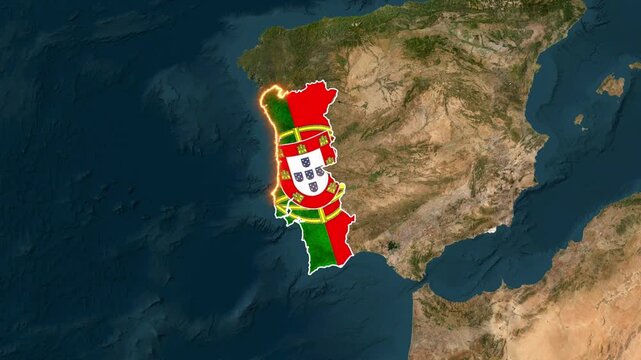
Portugal map animated with flag overlay rotating over earth motion video
00:16
Alta definición
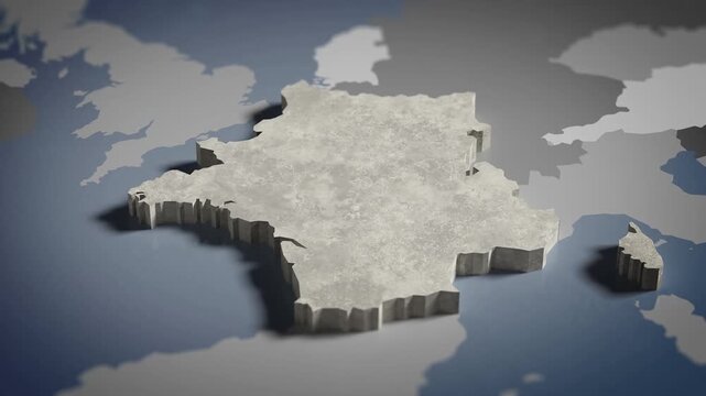
World map animation Birds eye view above France, French, Paris, Europe with highlighted country borders. Cinematic 3d world map animation highlights aerial views, 4k Video
00:16
Alta definición
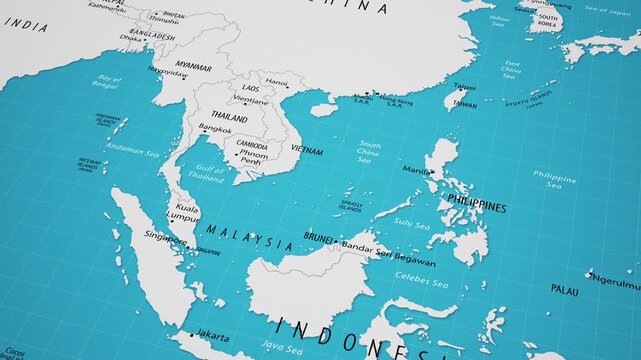
map of the worldAnimated Map of Southeast Asia Region, Geography Background
00:20
Alta definición
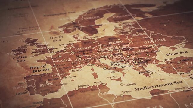
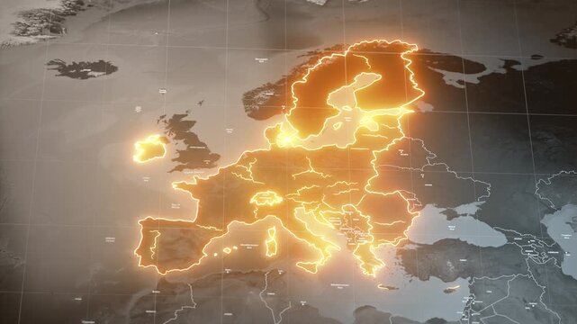
Stylized vintage political map of EU European Union and Europe. 3d animation
00:20
Alta definición
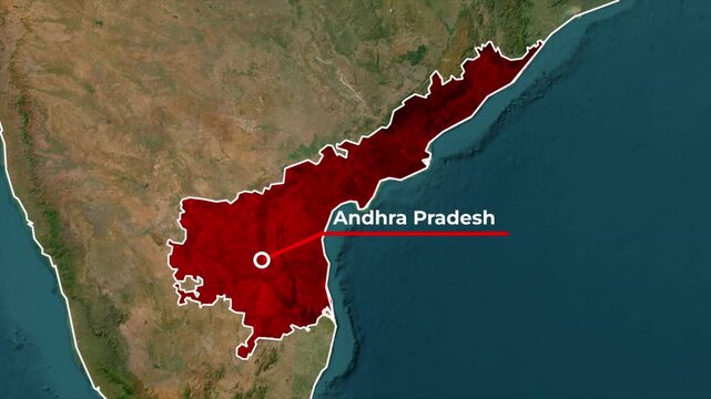
Zoomed in satellite terrain map animation of India highlighting Andhra Pradesh state in red with a white outline, red callout pointer line, and blinking target location dot
00:05
Alta definición
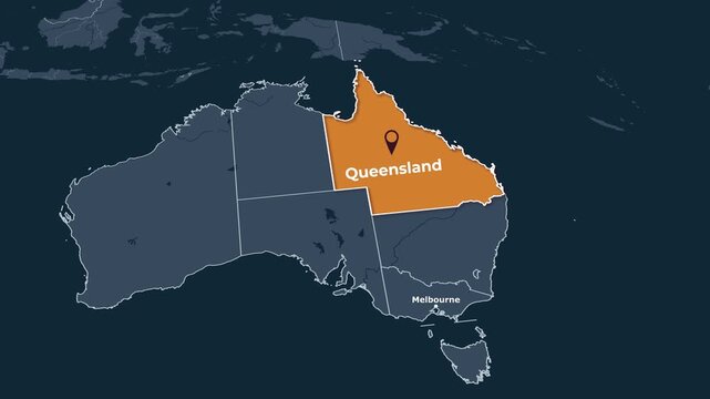
Animated map of Queensland, Australia, highlighting the state, Animated map of Queensland, Australia, highlighting the state boundary and location within Australia. Useful for geography, education
00:15
Alta definición
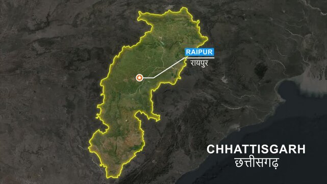
Chhattisgarh state map highlight animation, Pointing the capital Raipur in a marker and label text, Location pointer, outline glowing, geographic and political map
00:10
Alta definición
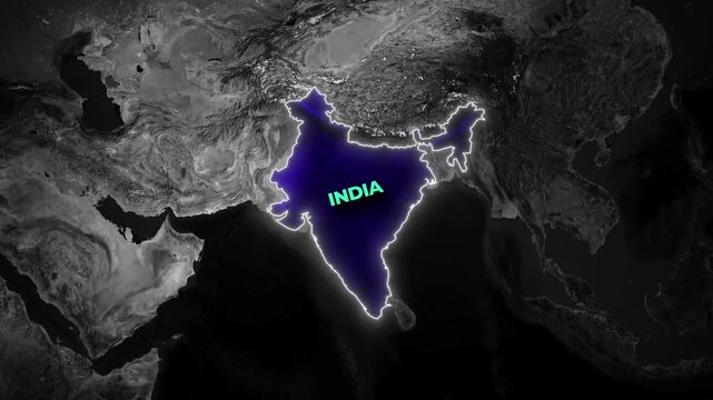
Dark geographical map animation highlighting the nation of India with a glowing blue interior
00:18
Alta definición
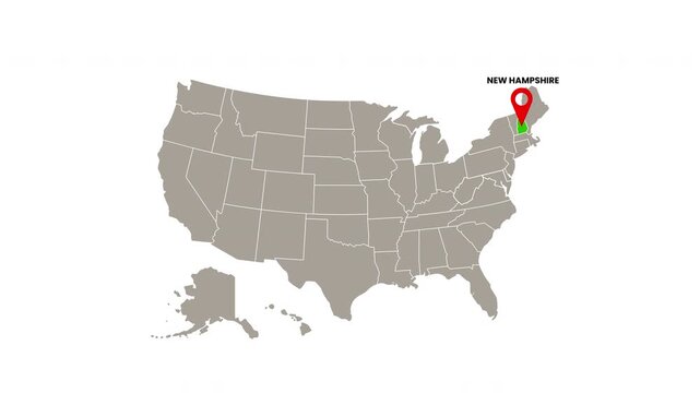
United States map with New Hampshire state highlighted in green and marked with a red location pin
00:06
Alta definición
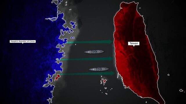
China Taiwan Conflict Zone Map Animation with Ships and Highlighted Boundaries
00:12
Alta definición
Animated map of united states and alaska with state borders
00:13
Alta definición
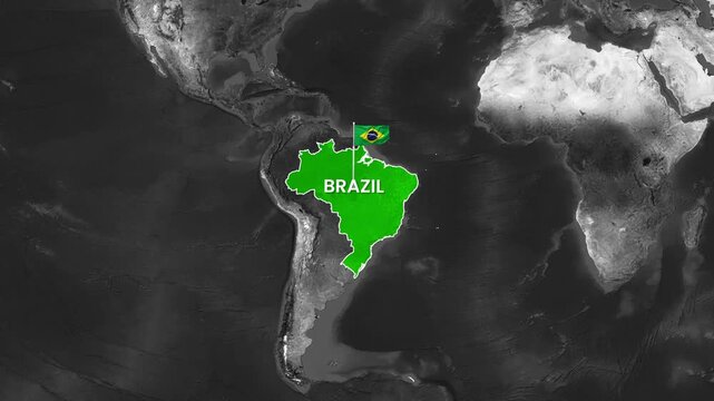
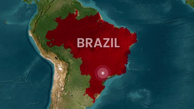
Brazil map animation featuring a waving flag in motion video footage
00:15
Alta definición
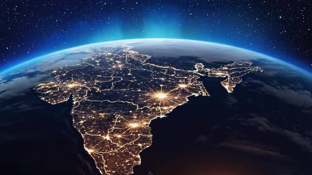
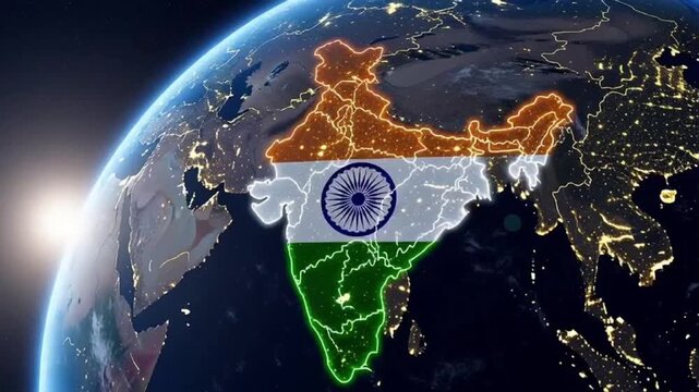
india map state with city lights seen from orbit video
00:10
Alta definición
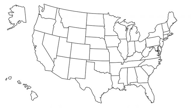
An outline map of the United States of America with state borders. Animation for thematic design
00:07
Alta definición
Glowing red neon outline map of georgia state isolated on black background 4K video motion
00:12
Alta definición
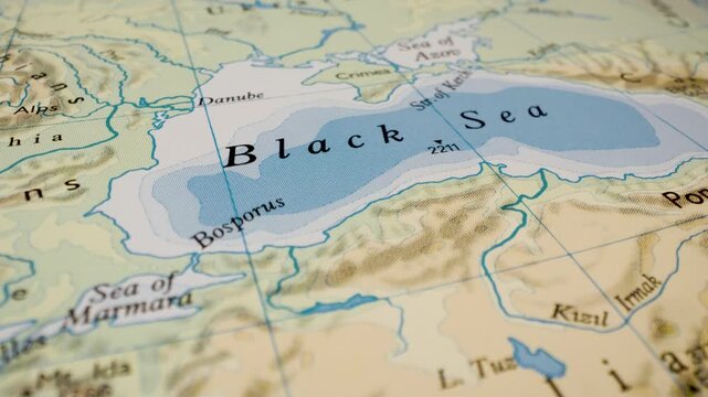
black sea, turkey and crimea peninsula map gliding camera view showing coastal region
00:14
Alta definición
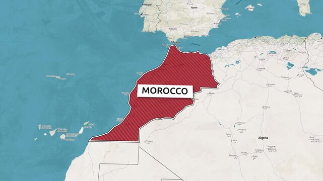
Borders of the state of Morocco on the map. Country Morocco on the map is highlighted by a polygonal border. Map animation. From above zooming in with panoramic view
00:15
Alta definición
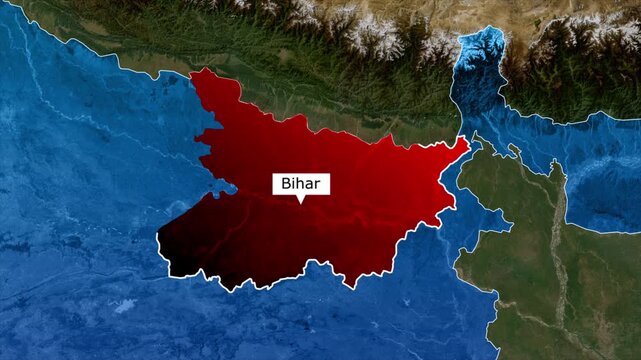
Bihar Map Highlight, Bihar Location Map, Indian State Geography Animation, Eastern India Regional Map, Bihar Territory Map, India State Border Map, Bihar Geographic Location Animation
00:10
Alta definición
Three dimensional map of the united states of america with american flag texture and state border outlines on a light gray background
00:07
Alta definición
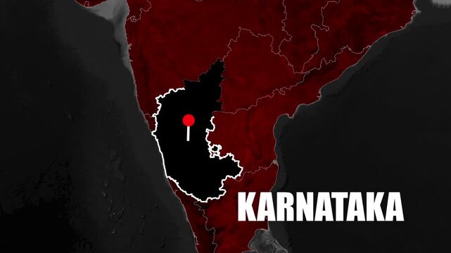
4K Animated Karnataka state map showing geographic location, regional boundaries, and India positioning with smooth dynamic motion graphics
00:09
Alta definición
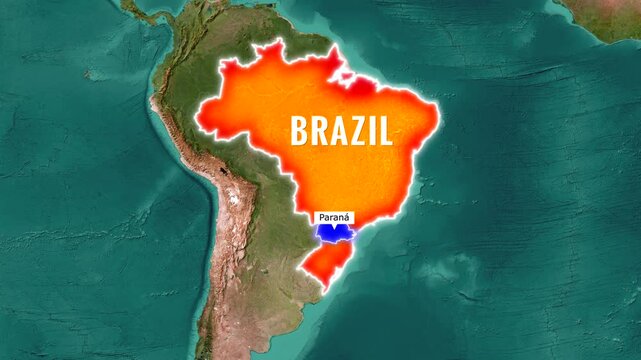
Brazil map animation highlighting Parana state with  motion footage
00:16
Alta definición
Looped 3D election map animation of the United States zooming into Indiana state, featuring red, blue, purple and green political outcome variations.
00:49
Alta definición
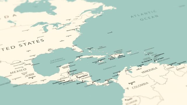
Cuba on a detailed political map of the Caribbean and Central America. Smooth camera movement focuses on the island, Havana, surrounding seas, nearby coastlines and regional geography.
00:24
Alta definición
European Union map with country regions outlines.
00:13
Alta definición
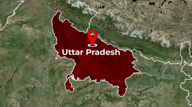
Zoomed in satellite terrain map animation of India highlighting Uttar Pradesh state in red with a red location pin icon and blinking target dot
00:06
Alta definición
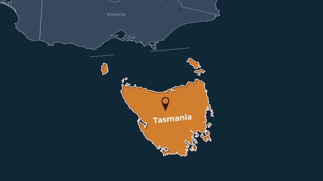
Animated map of Tasmania, Australia, highlighting the state boundary and location within Australia. Useful for geography, education, regional analysis, news, documentary and travel content
00:15
Alta definición
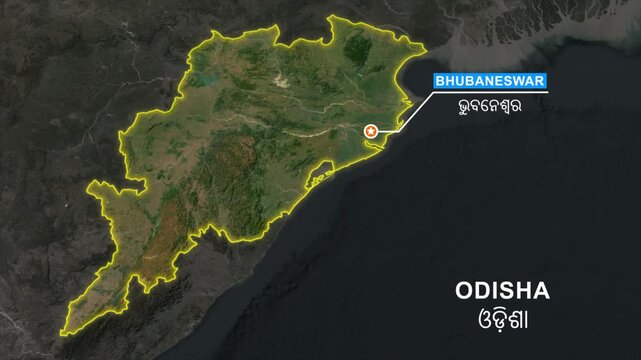
Odisha state map zoom animation, India regional geographic location visual, Bhubaneswar capital city marker, 4k satellite graphic transition, infographic element for news broadcast.
00:10
Alta definición
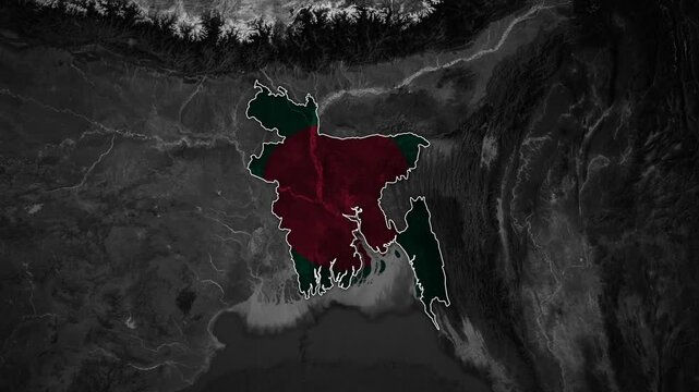
Topographical map of South Asia zooming into the highlighted borders and national flag of Bangladesh
00:18
Alta definición
United States map with Tennessee state highlighted in green and marked with a red location pin
00:06
Alta definición
Glowing blue neon outline map of kentucky state on a black background
00:09
Alta definición
Sri lanka location marker animation on transparent background.sri lanka map animation with 4k video
00:10
Alta definición
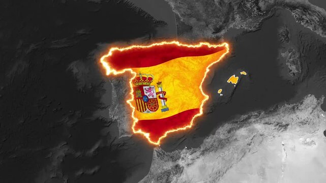
3D animated map of Spain with national flag and glowing borders
00:15
Alta definición
New york state map outline with glowing neon purple light effect on black background 4K Motion video animation
00:12
Alta definición
Pakistan map outline blue neon glow with national flag texter on black background alpha channel.
00:15
Alta definición
Arizona state map animation, USA geography aerial view, United States, 4K
00:05
Alta definición
Abstract digital map of India globle network tech globally connected world Cloud computing network connecting,Blue india Map Information Network Background. Indian Rupee Business Finance and Economy.
00:20
Alta definición
Isometric 3D United States map animation with red location pins and folded paper opening effect
00:10
Alta definición
Bahrain Flag Map Animation, Zoom From Space to Bahrain, Middle East Country Location Map, Kingdom of Bahrain on Realistic Terrain Background
00:12
Alta definición
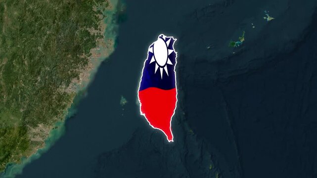
Taiwan map with national flag overlay and glowing border animation country
00:17
Alta definición
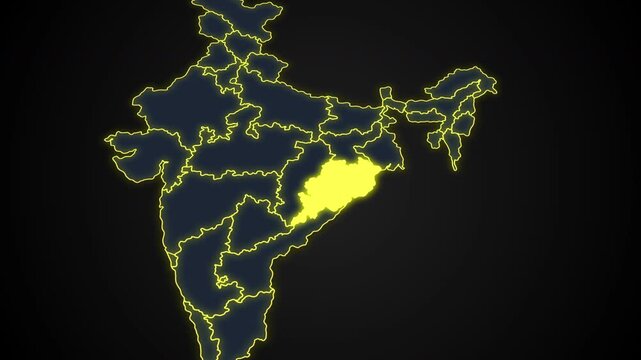
Animated glowing map of Odisha, India, with a highlighted outline on a dark background, ideal for geography, travel, news, and infographic projects.
00:08
Alta definición
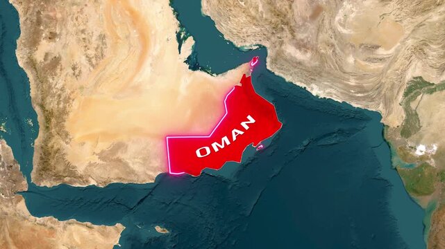
Oman is a country highlighted on map with flag-waving animation footage
00:24
Alta definición
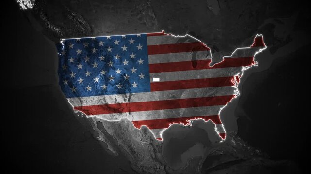
Map of United States of World map Background Glowing Borders and Flag inside
00:12
Alta definición
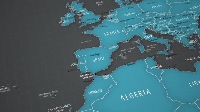
Spain on the political map of Europe with smooth camera movement
00:18
Alta definición
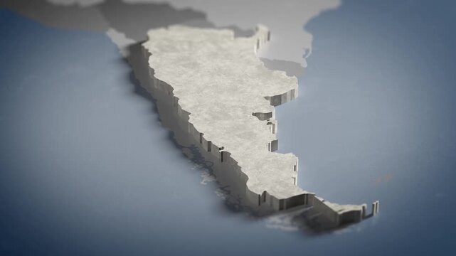
World map animation Birds eye view above Argentina, Argentine, Argentinian, Buenos Aires, South America with highlighted country borders. Cinematic 3d world map animation highlights aerial views, 4k V
00:16
Alta definición
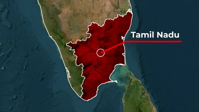
Zoomed in satellite terrain map animation of India highlighting Tamil Nadu state in red with a white outline, red callout pointer line, and blinking target location dot
00:05
Alta definición
Vintage sepia map of Japan with a rising Japanese flag on a pole and neighboring country labels
00:15
Alta definición
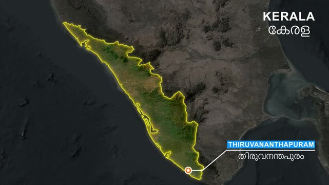
Kerala state map highlight animation, Pointing the capital Thiruvananthapuram in a star marker and label text, Location Visualization, outline glowing, geographic and political map
00:10
Alta definición
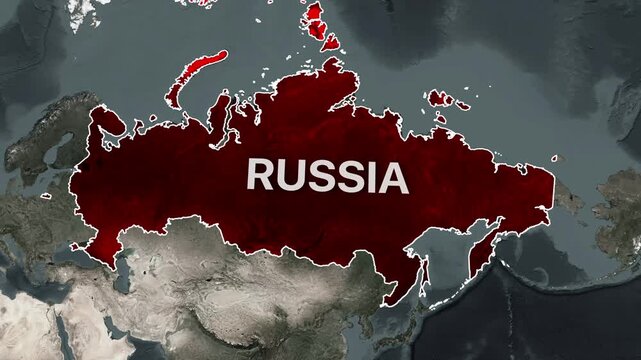
Animated map showing Russia and its surrounding territories with motion footage
00:20
Alta definición
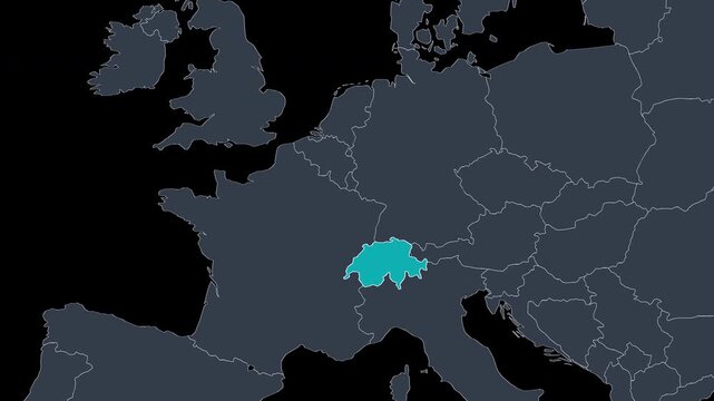
Switzerland map with national flag on digital world map background, geographic border, global political and international news concept
00:14
Alta definición
Switzerland Highlighted on Europe Map Country Focus Zoom, Alpha 4K
00:09
Alta definición
Glowing neon purple florida state map outline on black background
00:12
Alta definición
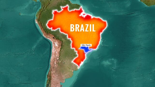
Brazil map animation zooming into Sao Paulo state video footage
00:15
Alta definición
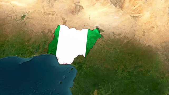
Nigeria Highlighted on World Satellite Map Animation with Country Border and Geographic Location
00:14
Alta definición
United States map with Mississippi state highlighted in green and marked with a red location pin
00:06
Alta definición
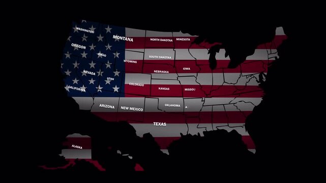
Animation of United States map with American flag colors, state borders and names, with alpha channel for geography, education and patriotic projects
00:11
Alta definición
Digital India Map of India Futuristic economy finance currency Glowing digital map of India neon connections. Futuristic technology network visualization. Perfect for IT business global network themes
00:20
Alta definición
India map superimposed on globe at sunrise
00:05
Alta definición
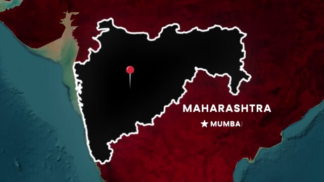
Maharashtra map highlight animation. India state outline with glowing border, location pin on Mumbai, regional label, and textured coastline background for geographic visualization
00:10
Alta definición
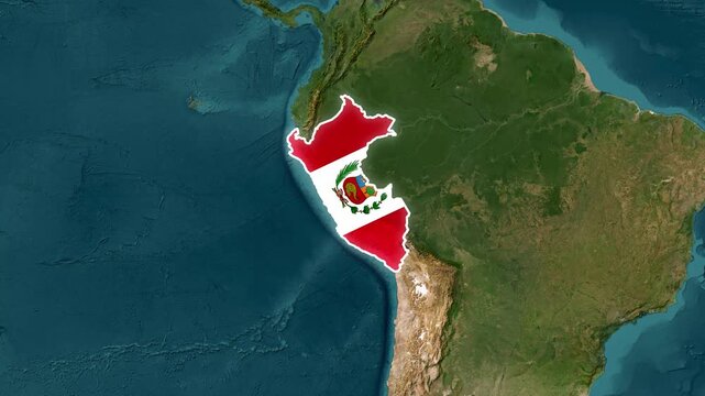
Peru map with national flag overlay, south america geographic location and country border animation geography
00:18
Alta definición
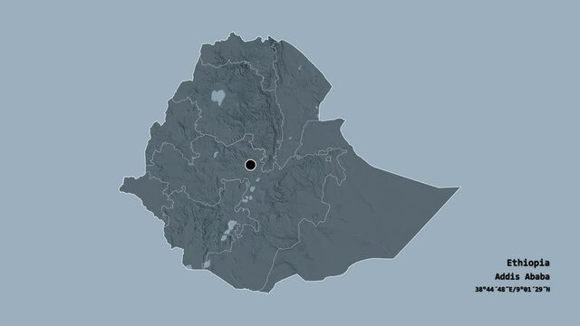
Tigray, state of Ethiopia, with its capital, localized, outlined and zoomed with informative overlays on a administrative map in the Stereographic projection. Animation 3D
00:09
Alta definición
Brazil map animation highlighting Sao Paulo state motion video
00:16
Alta definición
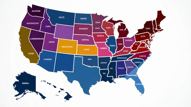
Animated Map of the Contiguous United States Highlighting Each State Generative AI
00:10
Alta definición
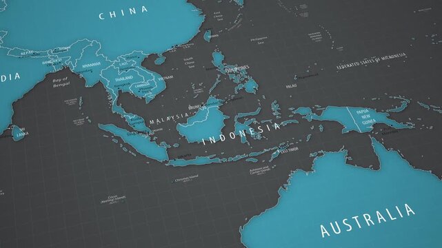
Indonesia on a detailed map of Southeast Asia. Smooth camera movement across the Asia-Pacific region.
00:18
Alta definición
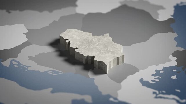
World map animation Birds eye view above Serbia, Serb, Serbian, Belgrade, Europe, with highlighted country borders. Cinematic 3d world map animation highlights aerial views, 4k Video
00:16
Alta definición
Zoomed in satellite terrain map animation of India highlighting Uttar Pradesh state in red with a red location pin icon and blinking target dot
00:06
Alta definición
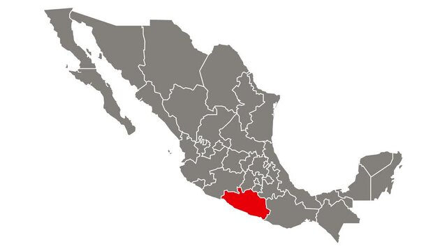
Guerrero state blinking red highlighted in map of Mexico
00:10
Alta definición
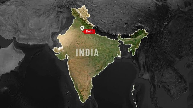
India map highlighted outline animation on world map, marking New Delhi the capital of india
00:07
Alta definición
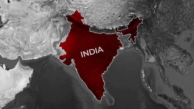
Animated map zoom on red India highlighting the capital region of Delhi
00:20
Alta definición
united states of america map with pin point
00:10
Alta definición
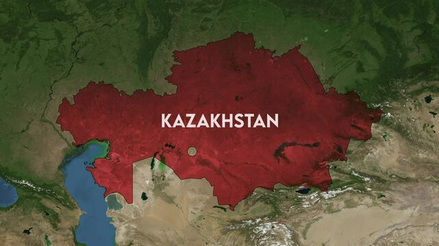
Zoom from Earth to Kazakhstan. World map animation with country borders, Images from NASA
00:11
Alta definición
India map animation. Animation of connecting all region country into a whole India map with borders in the background with an alpha channel. Motion design.
00:16
Alta definición
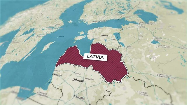
Borders of the state of Latvia on the map. Country Latvia on the map is highlighted by a polygonal border. From above zooming in with panoramic view
00:15
Alta definición
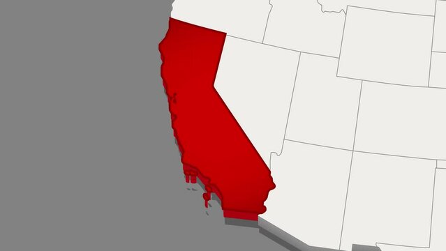
The state of California is highlighted and zom with name in red on a minimalistic map of the USA in white on dark background. Thin clean lines. Video animation. High quality 4k footage
00:10
Alta definición
Ohio dotted digital map. Map of Ohio with pulsating colored circles. Shape of the US state filled with blue disks. Artistic video.
00:15
Alta definición
Malta Country text typing word, Marker Highlight Yellow Pen in Bold Words , white background, Design Animation text size increases, Digital Screen, 4K Resolution video
00:18
Alta definición
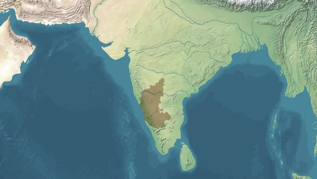
Zoom in animated Satelite map of Karnataka state or province of India with area revealing
00:10
Alta definición
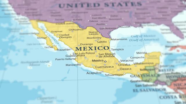
4K macro footage of Mexico on a world map with shallow depth of field. Focus on word Mexico and nearby regions like the United States, Central America, and the Gulf of Mexico. Travel geography footage
00:12
Alta definición
India map highlight animation, glowing India outline, country map reveal, geographic India animation, Asia map focus, location highlight India, modern map glow effect, cinematic map animation
00:10
Alta definición
Map of United States of America showing different states. Animated usa contiguous lower 48 u.s. state map on an isolated chroma key background.
00:40
Alta definición
Chin, state with its capital, zoomed and extruded on the administrative map of Myanmar in the conformal Stereographic projection. Animation 3D
00:08
Alta definición
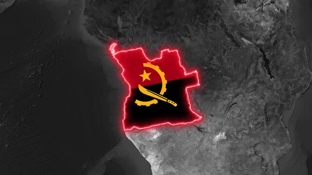
Angola map outline with flag animation glowing with energy motion footage
00:25
Alta definición
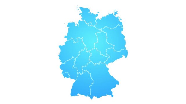
Germany Map Showing Up Intro With New Regions/ 4k animated germany map intro background with new administrative regions appearing and fading one by one and camera movement
00:10
Alta definición
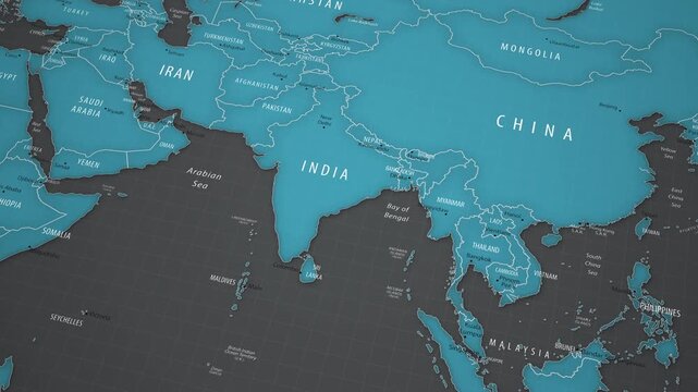
Animated political map showing the location of India in Asia. The camera gradually approaches the country, bringing New Delhi, neighboring states, national borders, the Arabian Sea, the Bay of Bengal,
00:18
Alta definición
Fly Zoom into Guatemala through space to see the country map region from above from space. Detailed map Showing area, HD and 4K. Animation.
00:13
Alta definición
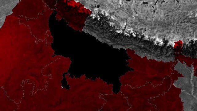
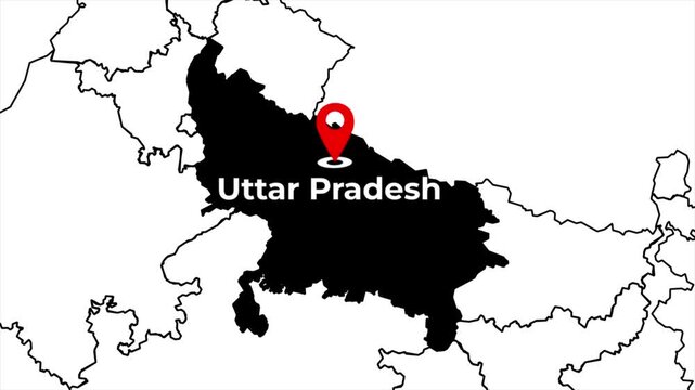
Zoomed in India map animation highlighting Uttar Pradesh state in a solid black silhouette with a red location pin icon and blinking target dot on a white outline background
00:06
Alta definición
Gujarat state blinking red highlighted in map of India
00:10
Alta definición
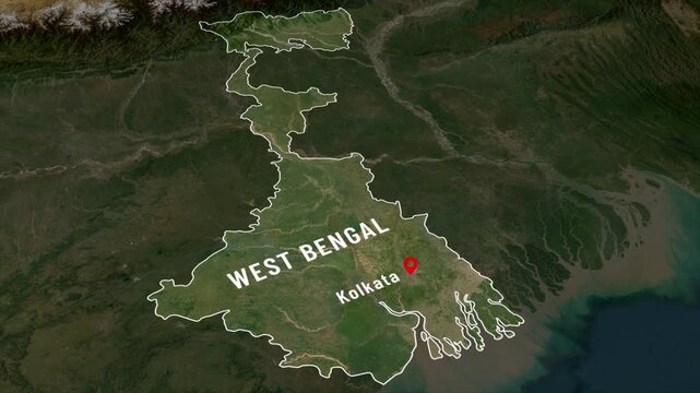
West bengal map pointing and Highlighting on india map, ppointing Kolkata for Political, educational, travel and torisum, Explore West bengal Geopolitical outline map animation
00:10
Alta definición
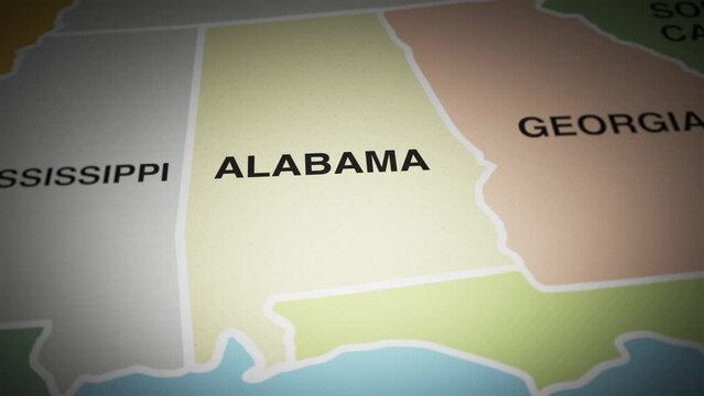
USA map turn on state of Alabama
00:10
Alta definición
Digital India Concept, India Map with abstract lines on technology background, High-tech digital India map with animated visual HUD elements. 4K video animation
00:08
Alta definición
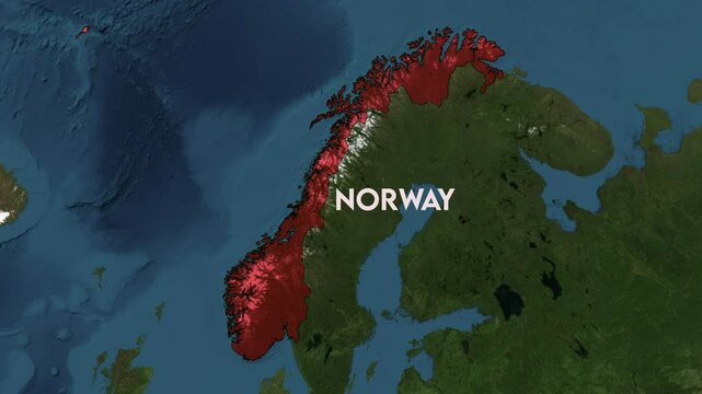
Zoom from Earth to Norway. World map animation with country borders, Images from NASA
00:11
Alta definición
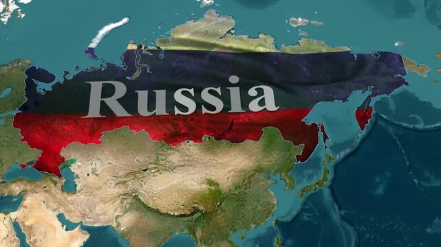
4k russia map animation by after effect
00:15
Alta definición
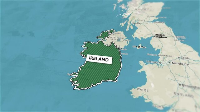
Borders of the state of Ireland on the map. Country Ireland on the map is highlighted by a polygonal border. From above zooming in with panoramic view
00:15
Alta definición
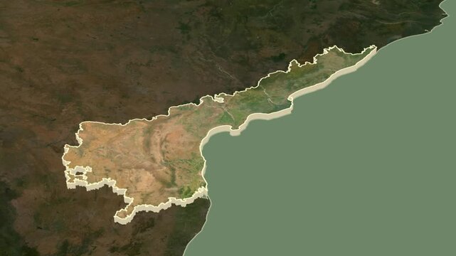
Andhra Pradesh, India, extruded. Satellite map
00:07
Alta definición
Realistic Earth Orbit and Zoom Glowing Borders United States
00:14
Alta definición
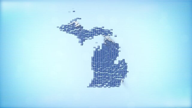
US State of Michigan Flags zooming in and Forming the state border map intro which is useful for news, political events, sports intros and presentation.
00:12
Alta definición
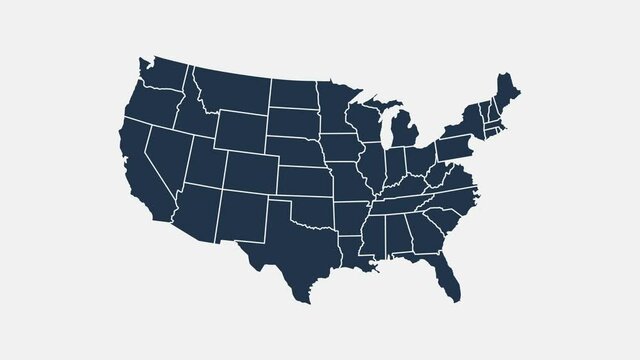
Map of United States of America showing different states. Animated usa contiguous lower 48 u.s. state map on an isolated chroma key background.
00:29
Alta definición