Videoer
Billeder
Skabeloner
Lyd
Tilpas (forhåndsvisning)
Priser
Sælg
Hovedmenu
Videoer
Billeder
Skabeloner
Lyd
Tilpas (forhåndsvisning)
Sælg
Priser
Alle
Billeder
Videoer
Lyd
Skabeloner
3D
Omkostningsfri
Premium
Mine biblioteker
Generér variationer
Gem i bibliotek
Download forhåndsvisning
...
Rediger
Generér variationer
Gem i bibliotek
Download forhåndsvisning
Fil #:
130510947
Find lignende
Rapportér problem
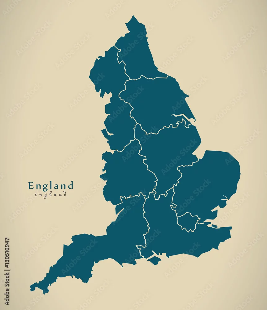
Modern Map - England with counties UK Illustration
Modern Map - England with counties UK Illustration
af
Ingo Menhard
DIMENSIONER
4700 x 5453 px
FILTYPE
JPEG
KATEGORI
Storbritannien
LICENSTYPE
Standard
eller
Udvidet
Standardlicens
(Gratis prøveversion)
Udvidet licens
(480,00 DKK)
Download med gratis prøveversion
Download med gratis prøveversion
LIGNENDE SØGEORD
england
great britain
britain
map
county
modern
illustration
illustration
regional
region
area
flat
region
city
silhouette
simple
state
shape
country
flats
administrative
border
border
country
design
district
division
division
graphic
new
state
trip
territory
department