


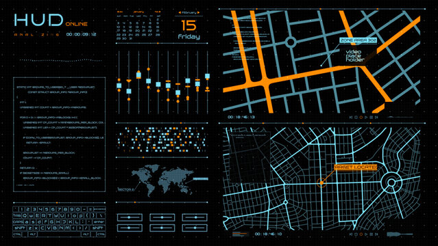
Hud Maps


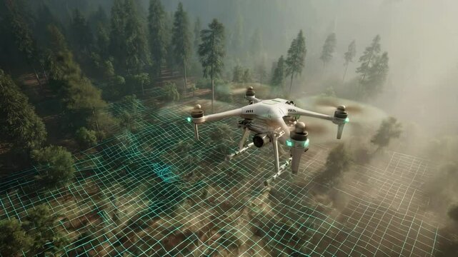

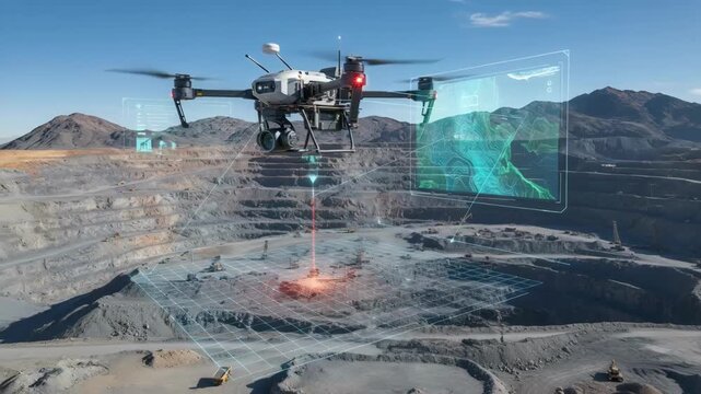


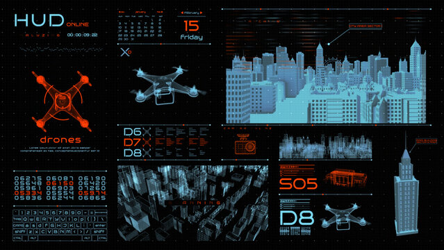
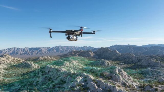
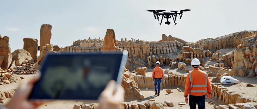
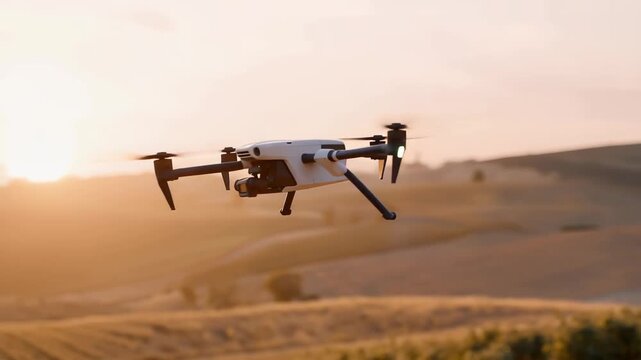
Hud Drones


Experimente também:
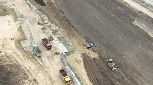
drone mapping em imagens,
drone mapping em vídeos,
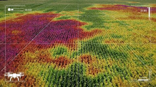
drone mapping em modelos,
drone mapping em Premium