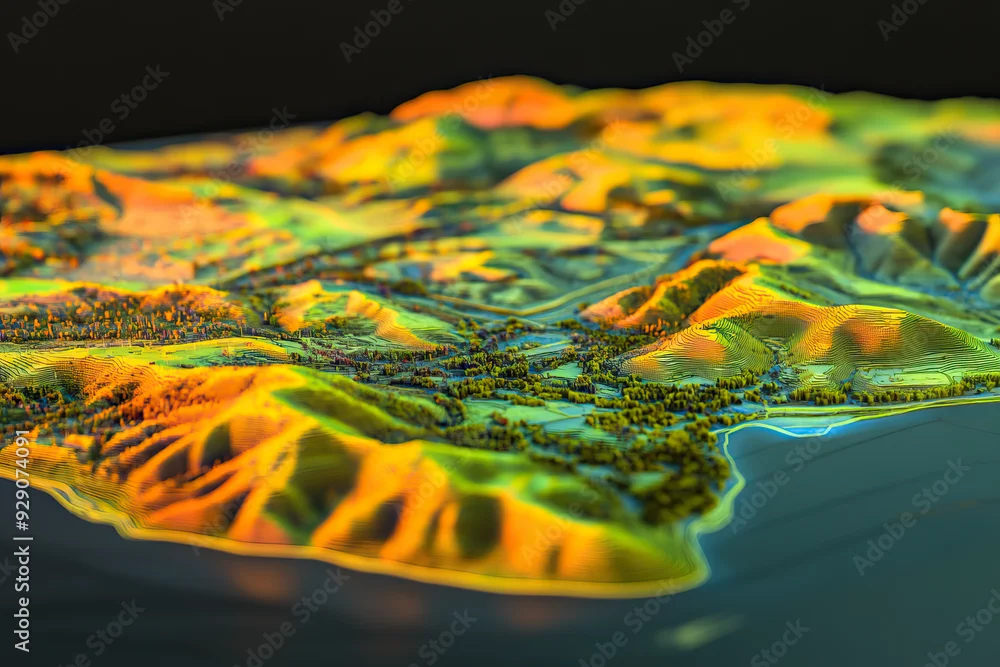
Technical aerial visual, 3D LiDAR GIS aerial map satellite scan model isolated, showing Temecula. Elevation, topography, render
Technical aerial visual, 3D LiDAR GIS aerial map satellite scan model isolated, showing Temecula. Elevation, topography, render
ตาม Goodwave Studio
สร้างขึ้นด้วย AI
การใช้สำหรับงานข่าวจะต้องไม่สร้างความเข้าใจผิดหรือหลอกลวง