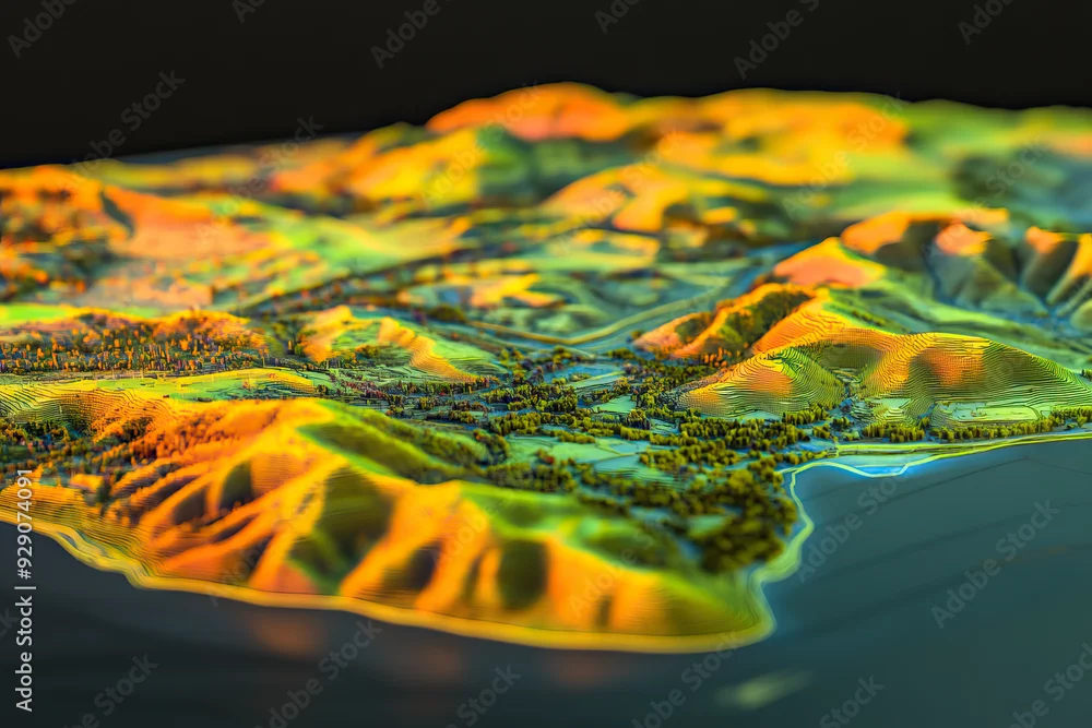
Technical aerial visual, 3D LiDAR GIS aerial map satellite scan model isolated, showing Temecula. Elevation, topography, render
Technical aerial visual, 3D LiDAR GIS aerial map satellite scan model isolated, showing Temecula. Elevation, topography, render
por Goodwave Studio
Gerado com IA
A utilização editorial não deve ser enganadora ou falaciosa.
DIMENSÕES
6720 x 4480 px
TIPO DE FICHEIRO
JPEG