Isolated map of Trinidad and Tobago with capital, national borders, important cities, rivers,lakes. Detailed map of Trinidad and Tobago suitable for large ...
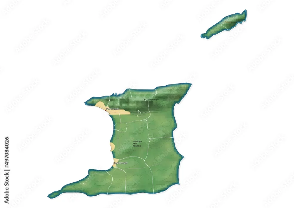
Isolated map of Trinidad and Tobago with capital, national borders, important cities, rivers,lakes. Detailed map of Trinidad and Tobago suitable for large size prints and digital editing.