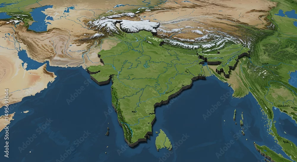
Detailed 3D Relief Map of the Indian Subcontinent Geography, Topography, and Rivers
Detailed 3D Relief Map of the Indian Subcontinent Geography, Topography, and Rivers
by SRD
Generated with AI
Editorial use must not be misleading or deceptive.
Editorial use must not be misleading or deceptive.